Pros & cons
PROS
- Best place for up‑to‑date road, fire, and closure info
- Permits and paper maps in one quick stop
CONS
- Small office with limited displays
- Weekday hours only; closed on federal holidays
Overview
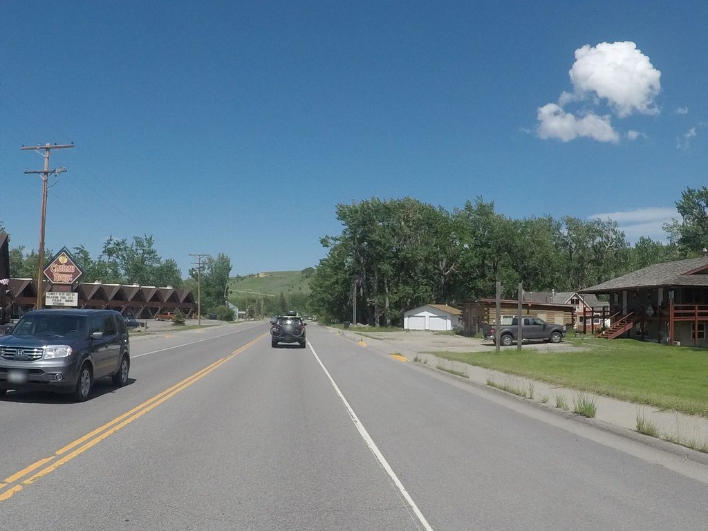
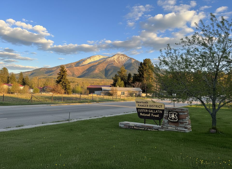
This is the US Forest Service front desk for the Beartooth and Pryor Mountain ranges, right on US‑212 in Red Lodge. It’s the smart first stop before driving the Beartooth Highway: pick up permits, grab maps, and get real‑time guidance from rangers who know the road and current conditions.
What You’ll Find
- Knowledgeable staff who can steer you to trailheads, lakes, and pullouts along the highway and nearby forests.
- Permits for camping and hiking, plus detailed maps for sale and free hiking trail maps.
- Restrooms and brochures—think efficient ranger office, not a museum.
Why Stop Here Before the Drive
Services on the highway are sparse, and weather can flip fast at 10,000+ feet. Rangers can flag construction, temporary closures, and the best stops for your day so you don’t waste miles or miss highlights.
Season & Operations
The Beartooth Highway generally runs Memorial Day to mid‑October, weather permitting; early storms can close sections without much notice. The office keeps weekday hours (typically Monday–Friday, 8:00 a.m.–4:30 p.m.) and is closed on federal holidays.
Safety & Etiquette
You’re in bear country. Rangers can brief you on food storage, bear spray, and wilderness regulations if you’re heading into the Absaroka‑Beartooth Wilderness. High‑country weather means strong sun, wind, and sudden cold—layer up and plan accordingly.
Best Time to Visit
Drop in on weekday mornings when the doors open to get the clearest picture of the day’s conditions before you commit to the pass. Peak summer weekends see heavier traffic on the highway, so planning early pays off.
Where it is
45.1696, -109.2588Tips for Beartooth Ranger District Office
- 01Ask for Motor Vehicle Use Maps to understand where you can legally drive.
- 02Confirm Beartooth Highway status the morning of your drive—closures change quickly.
- 03If heading into wilderness, review rules and bear‑safety guidance with a ranger.
- 04Use this as your supply and plan stop—services along the highway are limited.
Amenities
Near Beartooth Ranger District Office
All places →All trails →
0.2 mi awayBeartooth Scenic Byway Welcome SignQuick photo stop marking the start of the big climbPullout
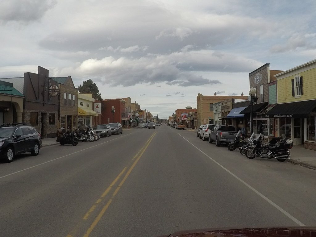
1.3 mi awayRed LodgeCharacterful gateway town and launchpad for the Beartooth HighwayVisitor Center · Restroom
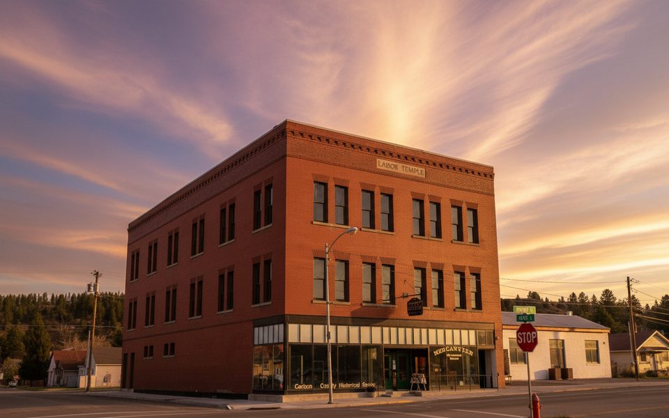
1.5 mi awayCarbon County Historical Society and MuseumSmall‑town museum with a standout coal mine exhibitExhibit · Restroom
1.8 mi awayRed Lodge Visitor CenterStart here for road status, maps, and the smartest Beartooth game planVisitor Center · Store
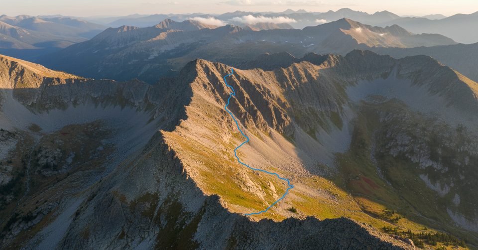
2.8 mi awayPalisades TrailRolling forest climb to big palisade views above Red LodgeModerate · 7 mi · 3.7 hr
4.2 mi awaySilver Run Loop TrailMellow forest and river loop with flexible mileage near Red LodgeEasy · 5.4 mi · 2.5 hr
6.4 mi awayBasin Lakes TrailWaterfall-to-lake climb to lily pads and big alpine views.Challenging · 7.3 mi · 4.8 hr
9.7 mi awaySundance Pass TrailBig alpine day from Lake Fork to West Fork over a pass.Challenging · 21 mi · 11.5 hr