Challenging

Basin Lakes Trail

Waterfall-to-lake climb to lily pads and big alpine views.
Basin Lakes Trail, Beartooth Highway
Distance7.3 mi
Typical time4.8 hr
DifficultyChallenging
PetsAllowed

Overview

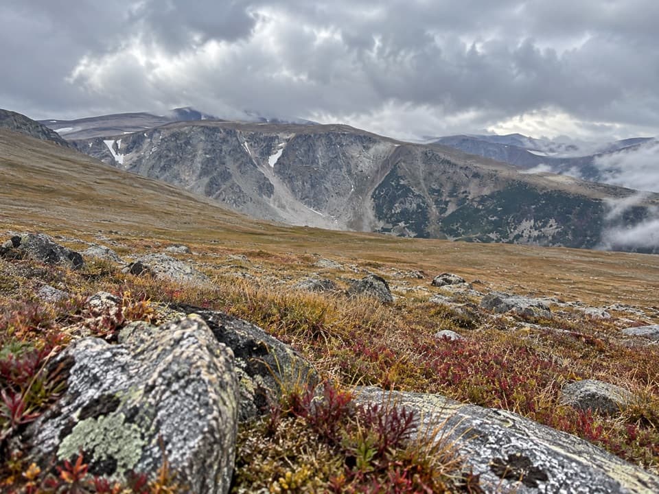
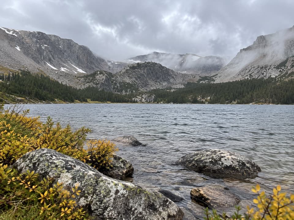
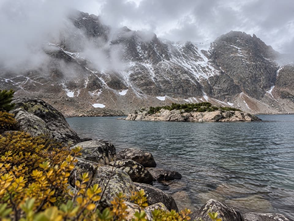
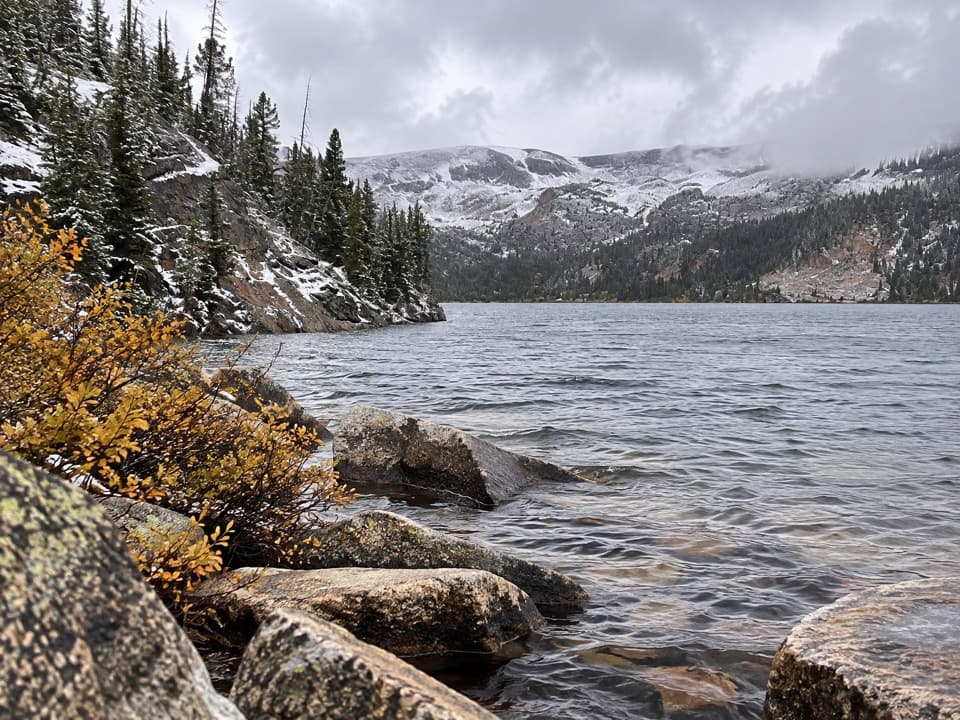
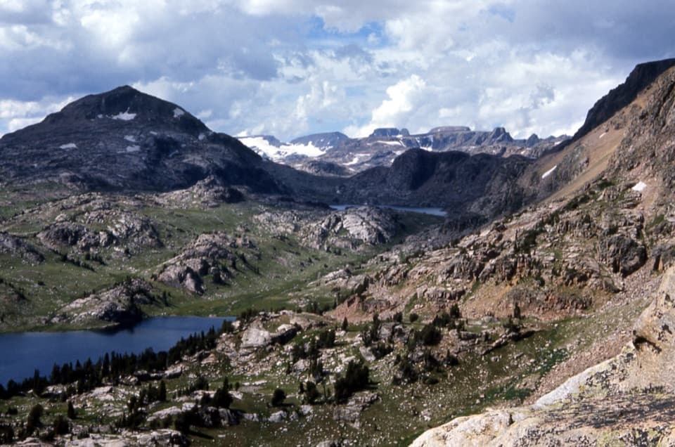
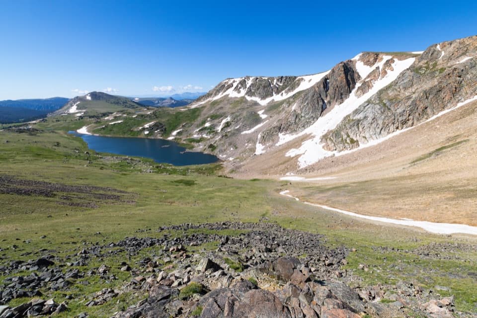
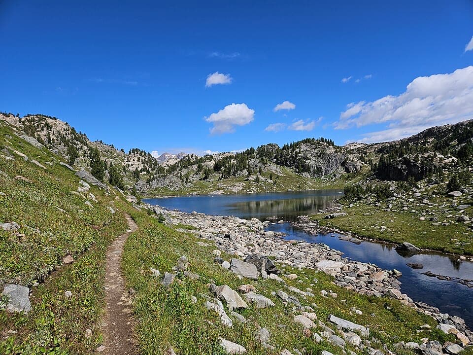
This classic Beartooth climb strings together a waterfall, Lower Basin Lake’s lily-pad shallows, and big mountain views at Upper Basin Lake. Plan on 7.3 miles total (out-and-back) with roughly 2,000 feet of gain, topping out near 9,000 feet. It’s a legit workout with rewards stacked the whole way.

The Hike

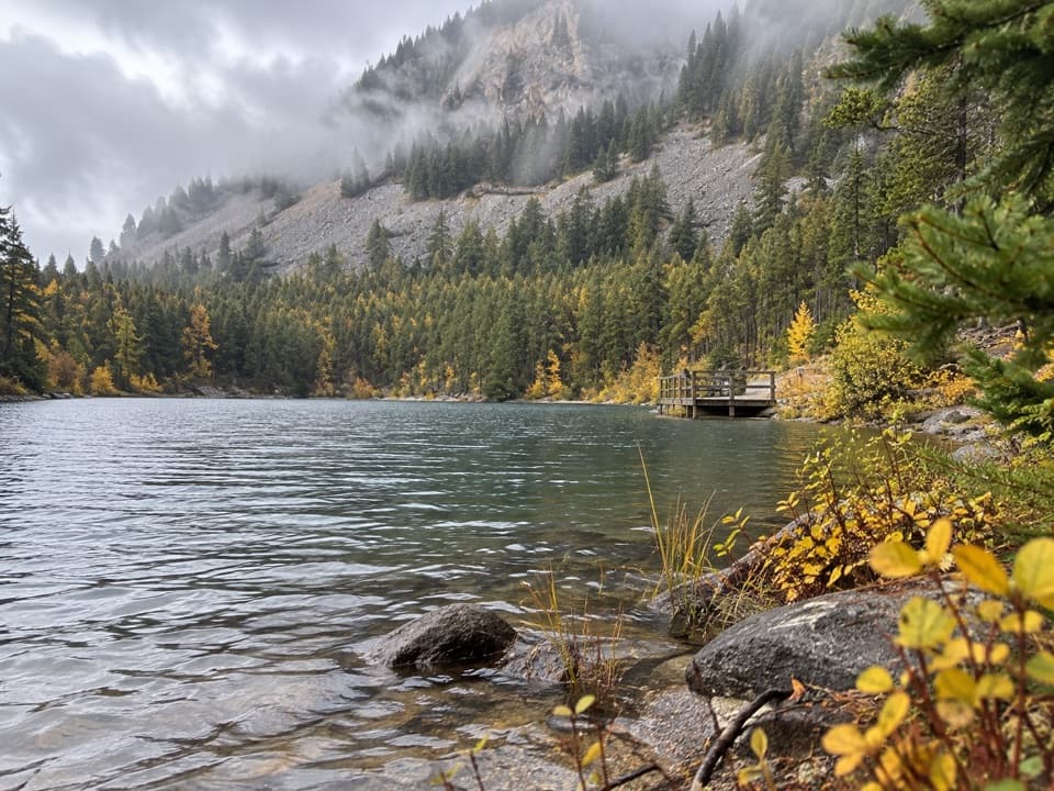
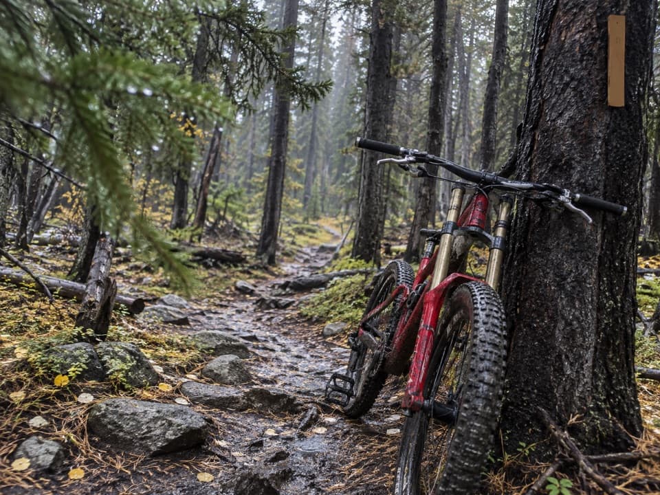
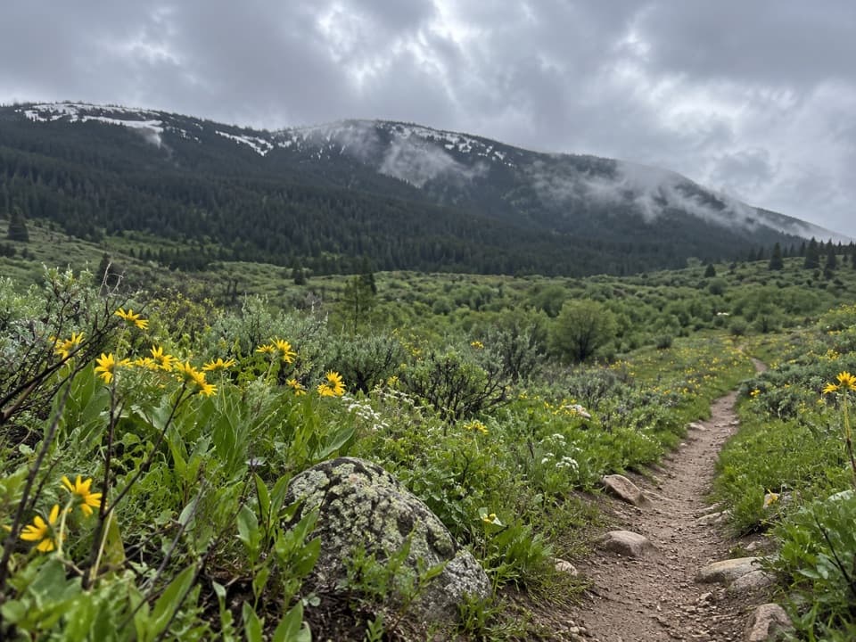
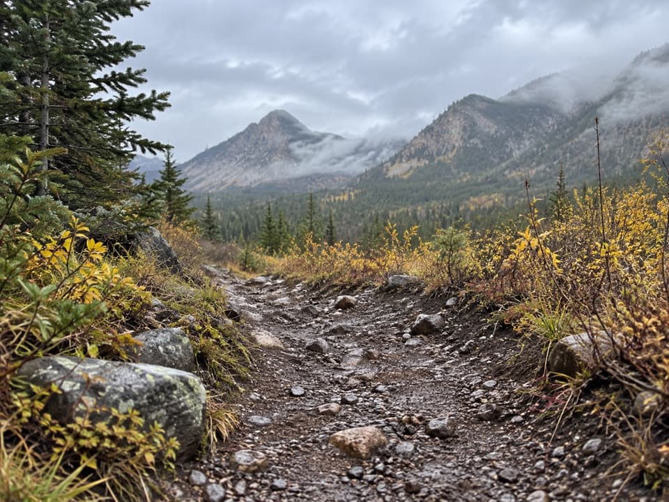
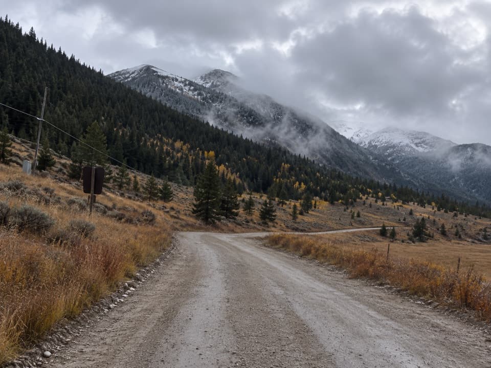
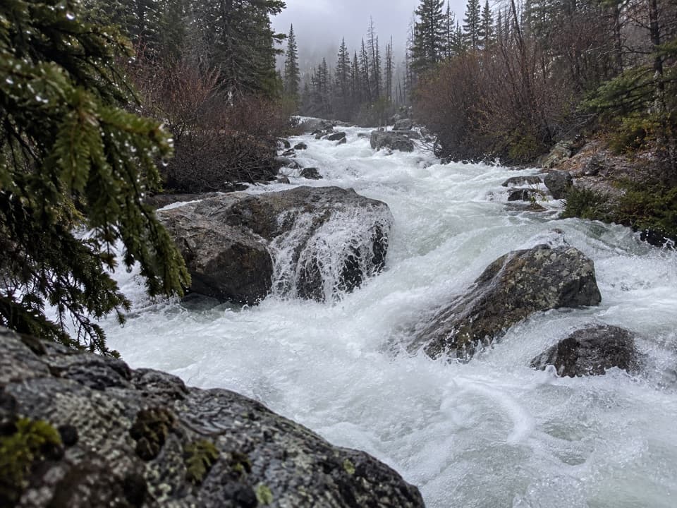
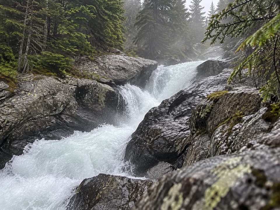
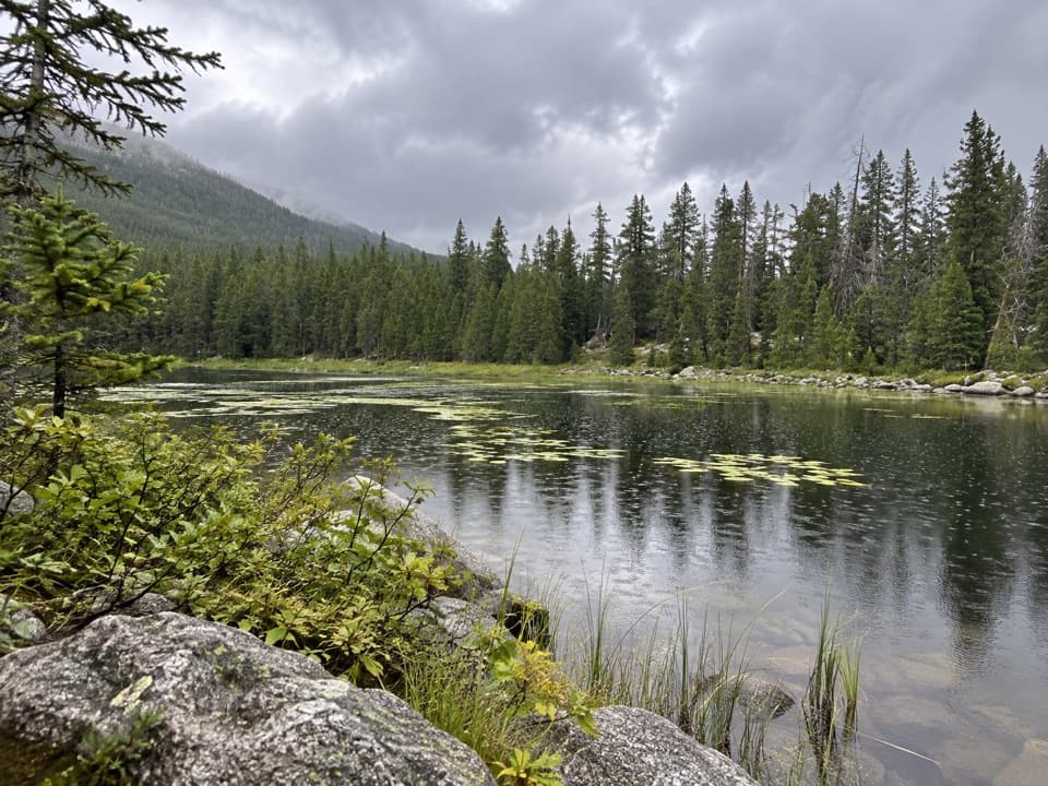
From the Basin Lakes Trailhead on West Fork Road, the grade bites immediately, then eases into steady switchbacks. Footing is rocky in places. You’ll pass a falls on Basin Creek, then reach Lower Basin Lake—partly carpeted in lily pads—before the final climb to Upper Basin Lake and its wider alpine vistas. Expect intermittent flats but mostly sustained uphill both ways. Elevation ranges from about 6,900 feet to around 9,000 feet.

Difficulty and Feel

Call it moderate-hard: a steep opener, continuous elevation, and altitude that you’ll notice if you’re not acclimated. Good shoes (and trekking poles if you like) make the descent friendlier. Weekdays feel relaxed; weekends can be busy.

Best Times to Hike

Late June through September usually offers the clearest path and thawed lakes. Earlier in the season you can hit snow and mud, especially between the lakes, and occasional creek crossings. Fall storms can arrive anytime. In winter, the route doubles for snowshoeing and cross-country skiing.

Access and Uses

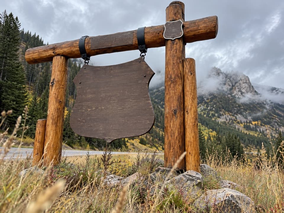
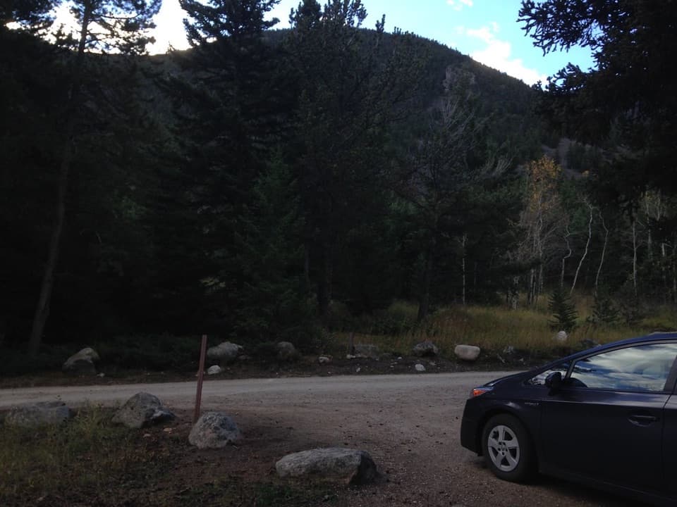
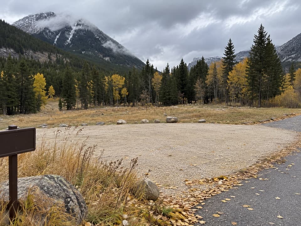
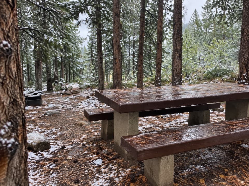
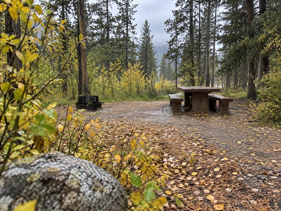
Trailhead parking is along West Fork Road; arrive early on weekends as spaces fill. Dogs are allowed on leash. Beyond hiking and walking, the area sees fishing and camping use. The route follows historic horse-logging paths from the early 1900s and has been designated a National Recreation Trail since November 26, 1979.

Tips

Start early for cooler temps and calmer crowds. Pack layers—the Beartooths change mood fast. If you want more mileage another day, there’s a signed spur connecting toward other local trails in the West Fork corridor.

Pros

  • Two distinct lakes plus a waterfall in a single, compact outing
  • Lower Basin Lake’s lily-pad shallows add a unique photo stop

Cons

  • Steep opening climb with sustained 2,000+ feet of gain
  • Parking and popular sections crowd up on weekends

Parking

Park at the Basin Lakes Trailhead on West Fork Road; arrive early on weekends as the small lot and roadside spaces fill quickly.

Caution

Steep, rocky start; sustained elevation and altitude. Expect snow and mud between the lakes early season, and a possible creek crossing near 0.75 mi. Weekend congestion can complicate parking and navigation.

The Parkwolf tour guide sitting on a phone mounted in a car

Parkwolf Tour Guide

Like a tour guide in your car.

Bring Beartooth Highway trail research into the car, with offline maps and stories that play as you drive.Download Parkwolf on the App Store