
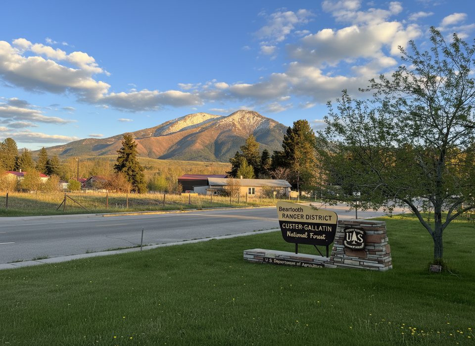
Place · 4.2 mi away
Easy
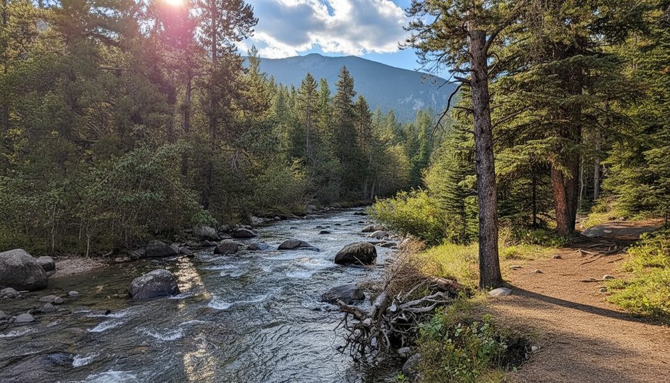
The Silver Run Loop is the crowd-pleaser in the West Fork Rock Creek corridor: a well‑signed forest-and-riverside circuit with gentle grades and just enough rocky bits to keep it interesting. Expect roughly 5.0–5.4 miles total (most maps show 5.4 miles) with about 550 feet of gain, all as a true loop. It’s a great shakeout hike if you’re driving the Beartooth Highway and want something scenic without the high‑altitude suffering.
This loop strings together segments of the Silver Run National Recreation Trail, weaving through lodgepole pine and along the West Fork of Rock Creek. The path is mostly smooth singletrack with a few rocky/rooty sections and brief ups and downs. Multiple signed options let you tailor the day: shorter loops around 2.4 and 4.5 miles, or the longest loop around 5.0–5.4 miles. Wayfinding is straightforward, but note that posted mileages and what mapping apps show don’t always match.
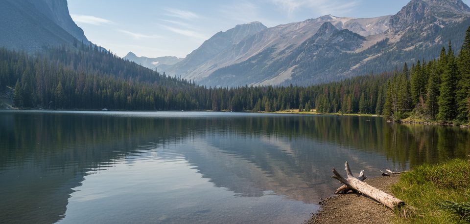
It’s a forest-and-water walk: cheerful creekside stretches, wildflowers in late spring and early summer, and good fall color. Wildlife is possible—deer are common—and the broader Silver Run area is known for mountain goats higher up on the plateau. If you’re chasing huge, above‑treeline views, this loop won’t deliver them; think peaceful woods and river ambience.
From US‑212, take West Fork Road for about 2.8 miles, stay left another 1.6 miles, then turn left into the signed Silver Run parking area. Cross the bridge and look for the trail a short walk up Forest Road 2476 on the right. The lot is large, has a vault toilet, and is plowed in winter. Dogs are welcome; expect to share the trail with hikers, runners, mountain bikers, and occasionally horseback riders.
Spring through fall is prime. Shoulder seasons can bring lingering snow/ice and occasional blowdowns after storms—start early and bring layers. Summer days are pleasant in the trees and cooler along the creek. Weekends see more locals but it rarely feels crowded compared to marquee Beartooth spots.
For a bigger day and alpine feel, the nearby Ingles Creek–Silver Run Plateau loop (~7 miles, ~1,782 feet gain) climbs steeply to windswept tundra with big views—best mid‑summer into fall when snow recedes. On the other extreme, stick to the 2.4‑mile inner loop for a quick family‑friendly sampler.
Silver Run parking area off West Fork Road: from US‑212 go 2.8 mi, stay left 1.6 mi, turn left into the lot; cross the bridge and walk a short distance up FR 2476 to the trail on the right. Large lot with vault toilet; plowed in winter.
Carry bear spray; expect bikes and occasional horses. Shoulder‑season snow/ice possible; mileage and loop names can differ between signs and maps—confirm your loop at the trailhead.
Place · 4.2 mi away
Place · 4.4 mi away
Place · 5.2 mi away
Place · 5.3 mi away
Challenging · 2.5 mi away
Moderate · 3.7 mi away
Challenging · 6 mi away
Challenging · 6 mi away

Parkwolf Tour Guide
