
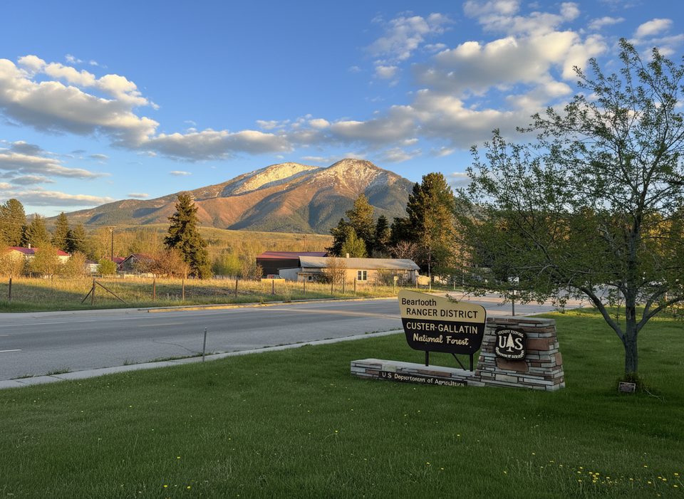
Place · 0.2 mi away
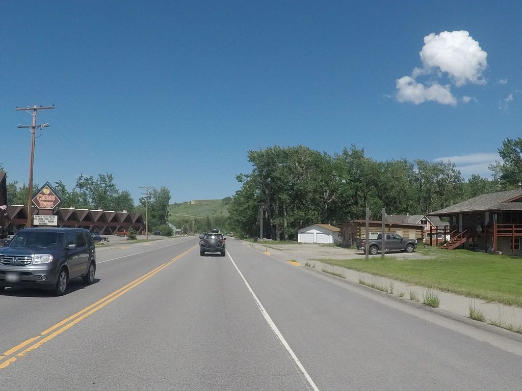
A few miles outside Red Lodge, this simple welcome sign marks where the highway begins its big climb and switchbacks into the Beartooths. It’s a quick, low-effort photo stop—think two-minute pause, snap your picture, and keep rolling.
You’re here for the marker and the sense of “go time” as the grade steepens. Views open and close quickly along this stretch; the sign itself isn’t a grand overlook, but it’s a fun milepost to kick off the drive.
If you love documenting the journey, yes—pull over, grab the shot, move on. If you’re chasing vistas, save your time for the proper viewpoints ahead (Rock Creek Vista Point is the first big one and the crowd-pleaser).
Midday to afternoon light (roughly late morning through late afternoon) is easiest here, reducing harsh shadows on both the sign and the valley contours. Early or late light can be contrasty and traffic is less forgiving when visibility drops.
There are no restrooms or services at the sign. For facilities and a real overlook, continue to Rock Creek Vista Point (about 21 miles from Red Lodge). Services along the highway are sparse and seasonal; by late September some may be on shoulder-season hours.
The highway typically runs from Memorial Day into early October, weather permitting. Early and late season storms can close sections without much warning—plan accordingly.
Use the pullout—don’t stop in the lane. Traffic accelerates as the climb begins. You’re in prime wildlife country; stay alert and keep a safe distance if anything wanders roadside.
Place · 0.2 mi away
Place · 1 mi away
Place · 1.3 mi away
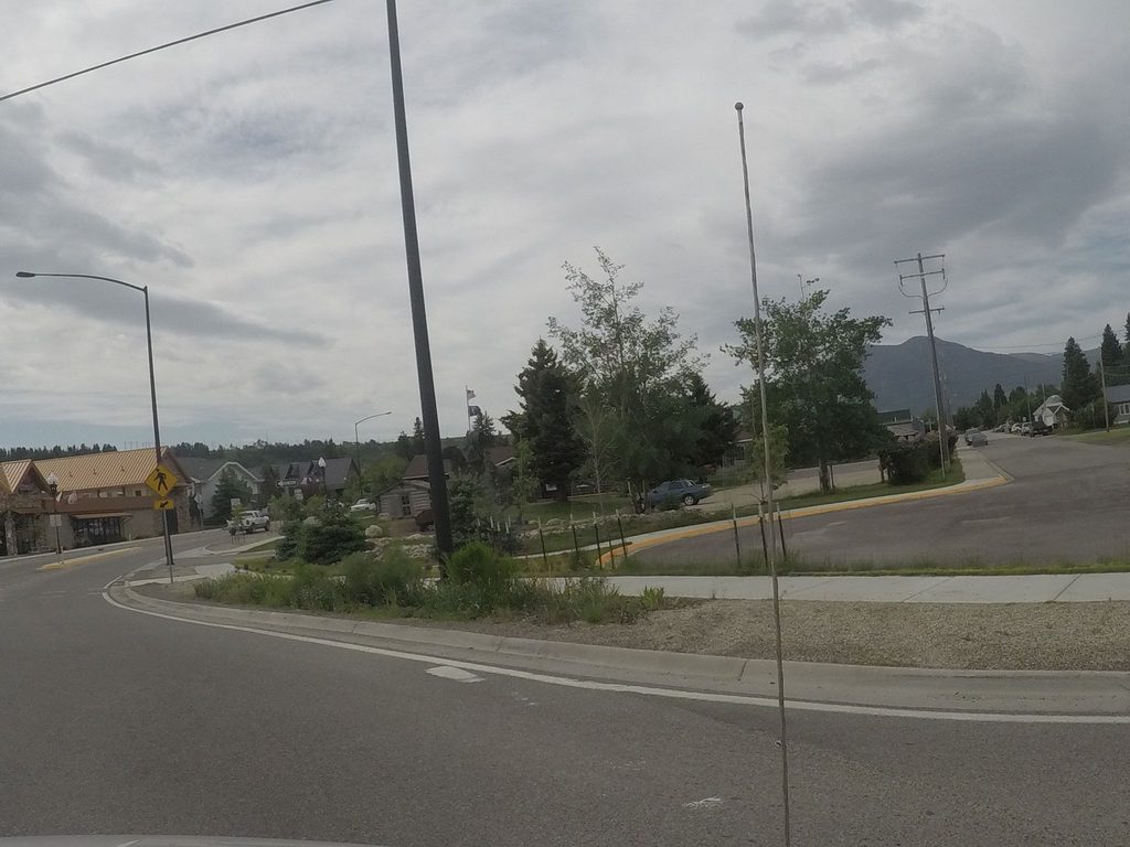
Place · 1.6 mi away
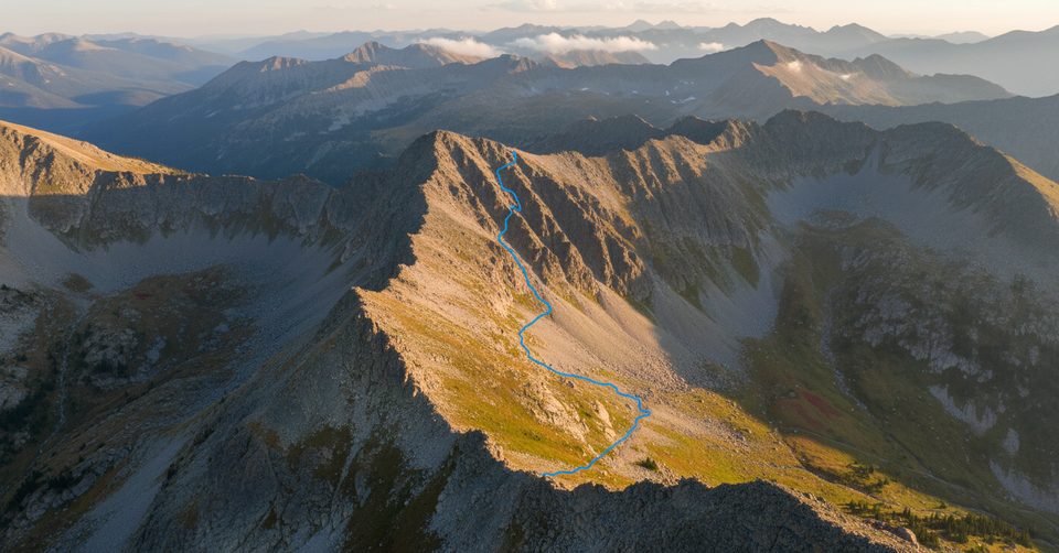
Moderate · 2.8 mi away
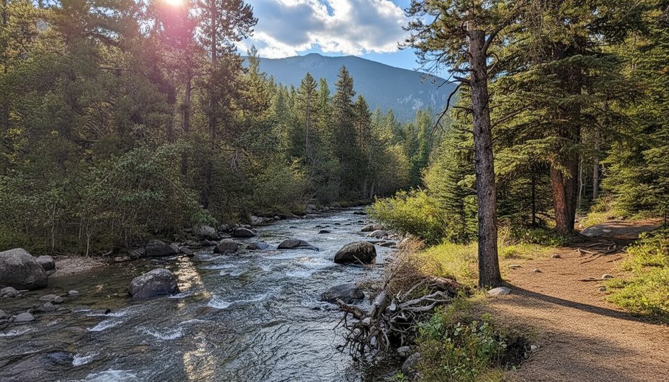
Easy · 4.4 mi away
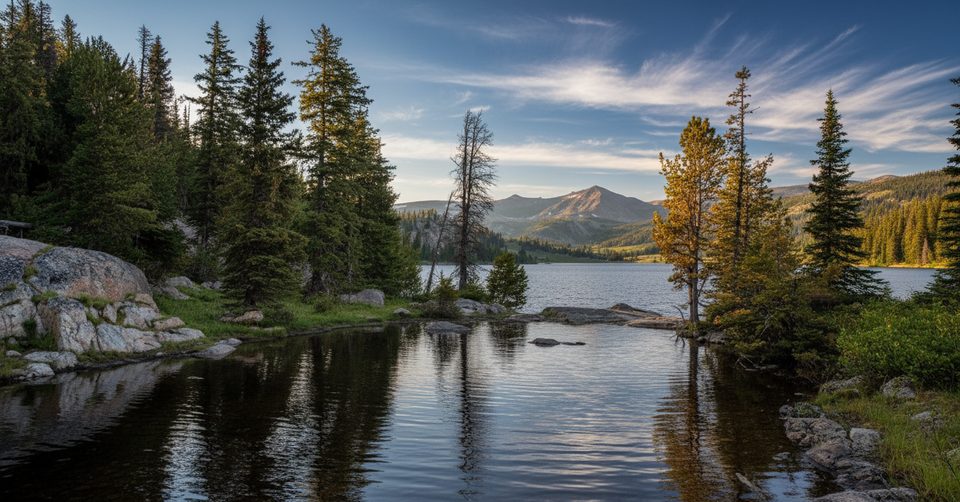
Challenging · 6.6 mi away
Challenging · 9.9 mi away

Parkwolf Tour Guide
