
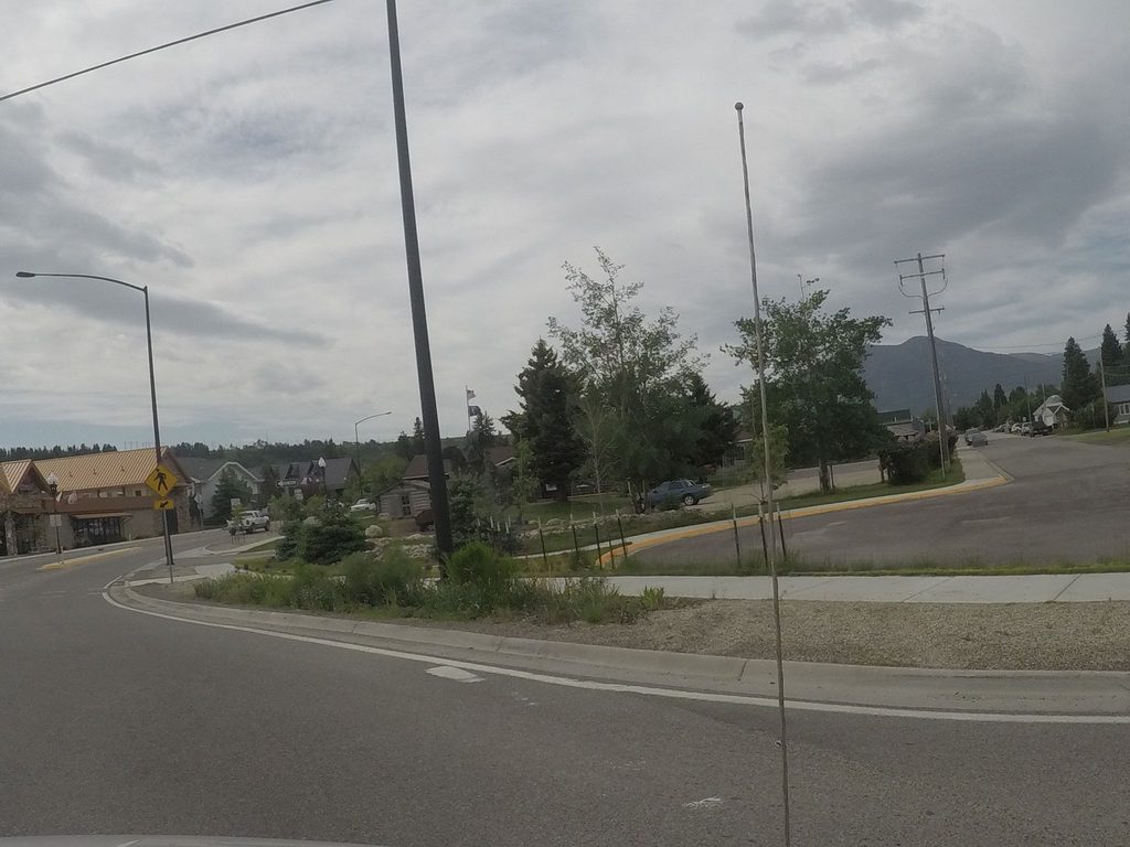
Place · 2.6 mi away
Moderate
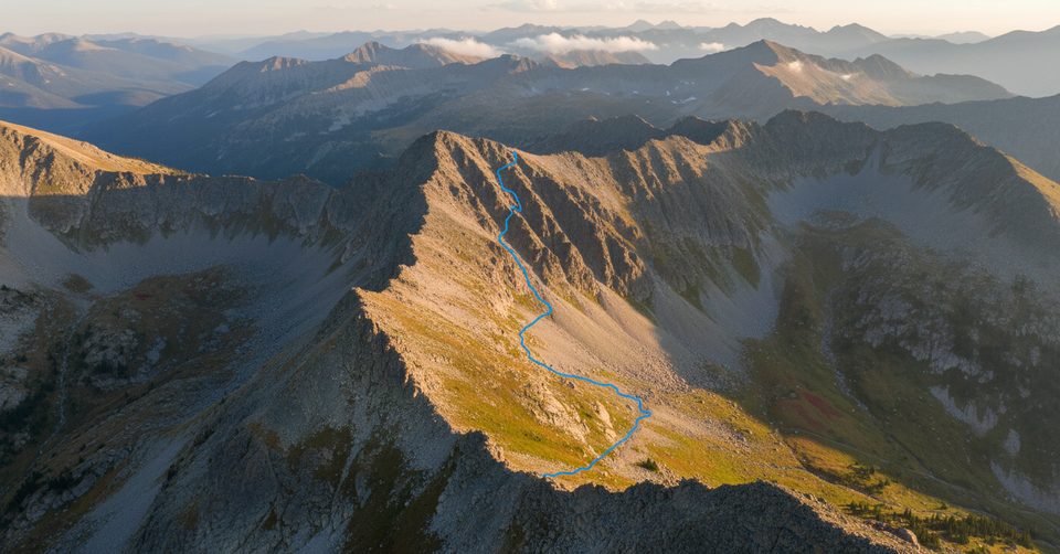
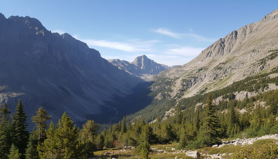
This is a moderate, forested out‑and‑back that rides the base of dramatic limestone palisades above Red Lodge. Expect steady but manageable climbs, a few short steeps, and classic Beartooth‑front scenery. Total distance is 7.0 miles round‑trip with about 1,220 feet of gain, which most hikers cover in roughly 3.5–4 hours.
From the south end, the path begins near Palisades Campground, sharing a short connector with Willow Creek Trail before branching onto Palisades proper. The singletrack rolls along the cliffs with a false summit that teases the top before delivering bigger views and a broad meadow. It’s multi‑use—horses and mountain bikes are common—so keep your head up and yield appropriately.
You get a little bit of everything in a half‑day: shady forest, seasonal wildflowers, airy cliff‑line vistas, and a mellow meadow finish. It’s a great stretch‑your‑legs option close to town that still feels like real backcountry once you’re a mile in.
June through October is the sweet spot. Early season can hold snow patches and slick mud; afternoons bring fast‑moving storms, so mornings are your friend for cooler temps, calmer winds, and fewer people. Weekends can get busier near the trailheads—start early for easier parking and a quieter first couple of miles.
If you want a similar feel with the option to extend mileage, consider linking from Willow Creek for a longer outing. For big roadside vistas before or after your hike, the Beartooth Highway pullouts deliver easy wow without extra miles.
Park at Palisades Campground lot (end of Palisades Campground Road) for the south start, or at the end of Fox Road for the north start.
Multi‑use traffic (bikes and horses), active bear country—carry spray; shoulder‑season snow/ice and slick mud possible; spotty cell service; check higher‑elevation road conditions if continuing on the Beartooth Highway.
Place · 2.6 mi away
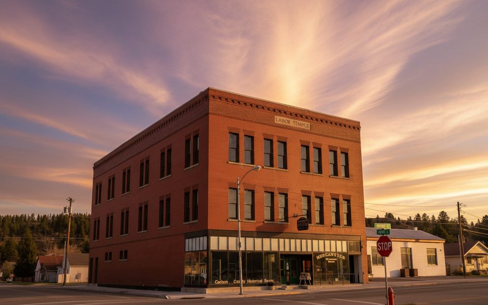
Place · 2.7 mi away
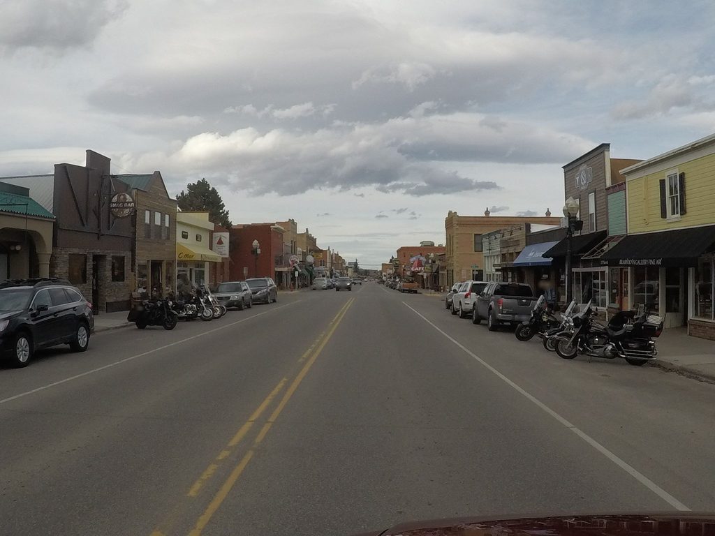
Place · 2.7 mi away
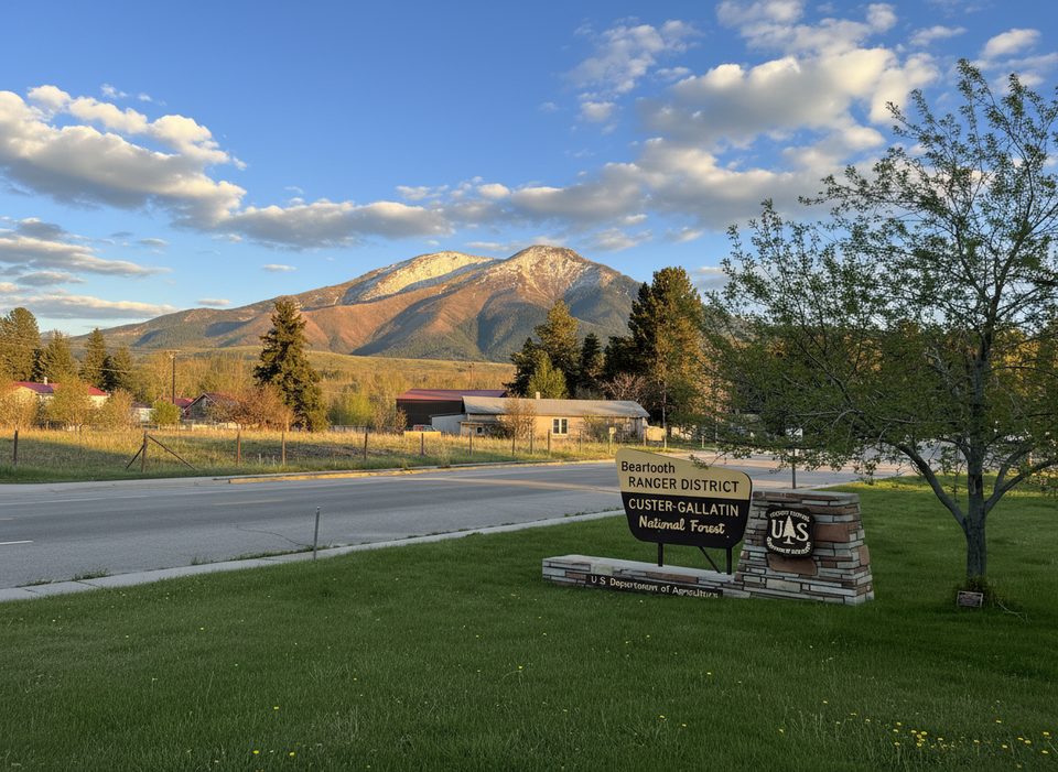
Place · 2.8 mi away
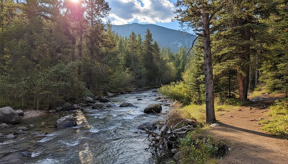
Easy · 3.7 mi away
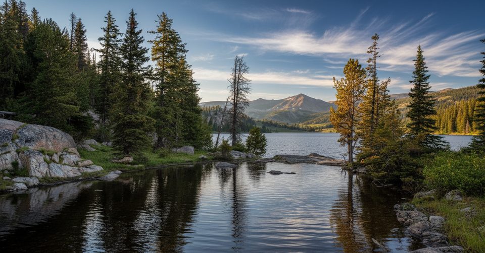
Challenging · 5 mi away
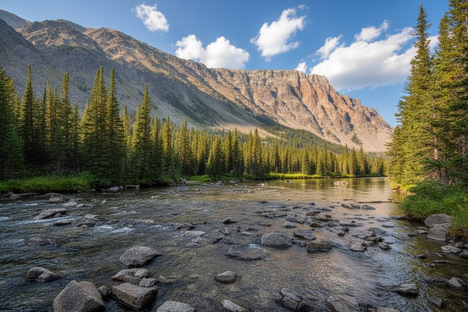
Moderate · 9.7 mi away
Moderate · 9.7 mi away

Parkwolf Tour Guide
