
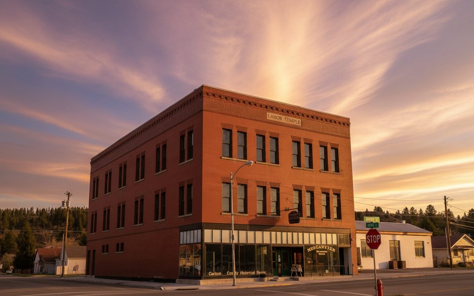
Place · 0.3 mi away
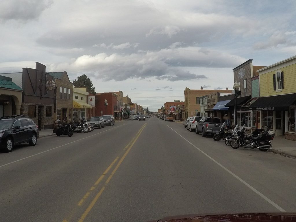
Red Lodge is a historic mountain town pressed up against the Beartooth Mountains and it’s the natural launch point for driving the Beartooth Highway toward Cooke City and Yellowstone’s Northeast Entrance. Think Western hospitality, an easy-to-like main drag, and everything you need before heading into high country.
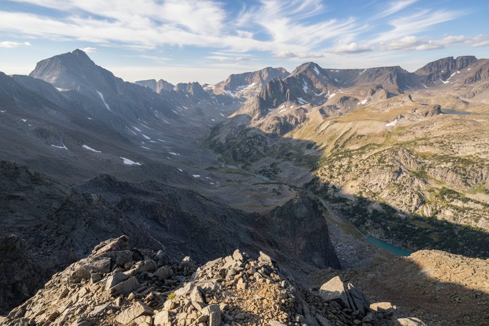
U.S. Highway 212 climbs from Red Lodge into a 68‑mile, above‑treeline alpine world with sharp switchbacks, big elevation gains, and constant views. It’s routinely called one of America’s great drives, with glacial cirques, alpine lakes, and more than 20 peaks over 12,000 feet along the broader route. The highway holds seasonal bragging rights too: it reaches the highest roadway elevations in both Montana and Wyoming.
Before you point uphill, swing by the Red Lodge Visitor Center at the junction of Highways 78 and 212. You’ll find state travel guides and maps, Yellowstone information, a 24‑hour brochure room, knowledgeable staff, public restrooms, and a picnic area—handy for organizing gear and plans.
This road is strictly a fair‑weather friend. Typical opening runs from Memorial Day weekend through Columbus Day, but late spring storms or early fall snows can change that quickly. Expect tight curves, steep grades, strong winds, and limited shoulders; large RVs and trailers are not recommended. GPS and cell coverage can be spotty once you leave town—download maps ahead of time.
As you climb from Red Lodge, keep an eye out in meadows and near lakes for mountain goats, moose, elk, marmots, mule deer, and—more rarely—black bears, grizzlies, and even wolves. Dawn and dusk are best. Never feed wildlife and give them space.
Red Lodge figures in the Beartooth Highway’s origin story. Local champions pushed for a scenic route to Cooke City as coal waned, surveys started in 1930, and the road officially opened on June 14, 1936. Those famous Montana switchbacks? Workers even named the curves as they carved them into the slope.
Pick a clear, calm day; save the drive if weather looks dicey. Start early for relaxed parking at overlooks and better photography. Early morning and late afternoon give the richest color and contrast on the peaks and plateaus. Even mid‑summer, pack layers—the temperature and wind at altitude can surprise you.
Place · 0.3 mi away
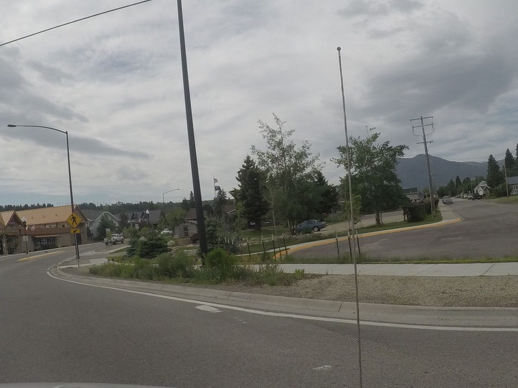
Place · 0.6 mi away
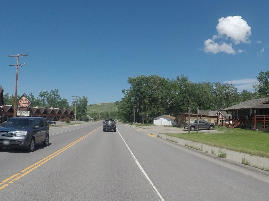
Place · 1 mi away
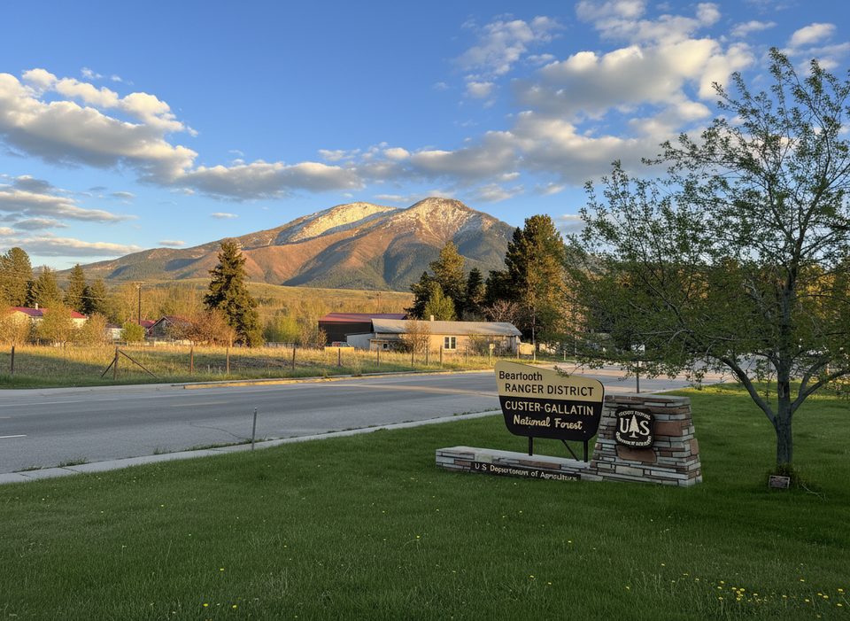
Place · 1.3 mi away
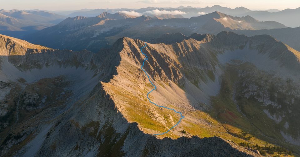
Moderate · 2.7 mi away
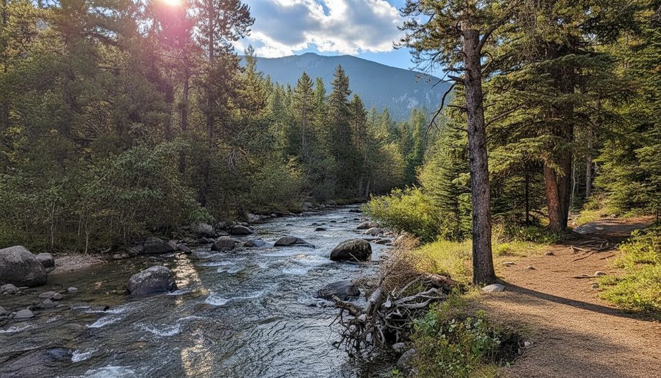
Easy · 5.2 mi away
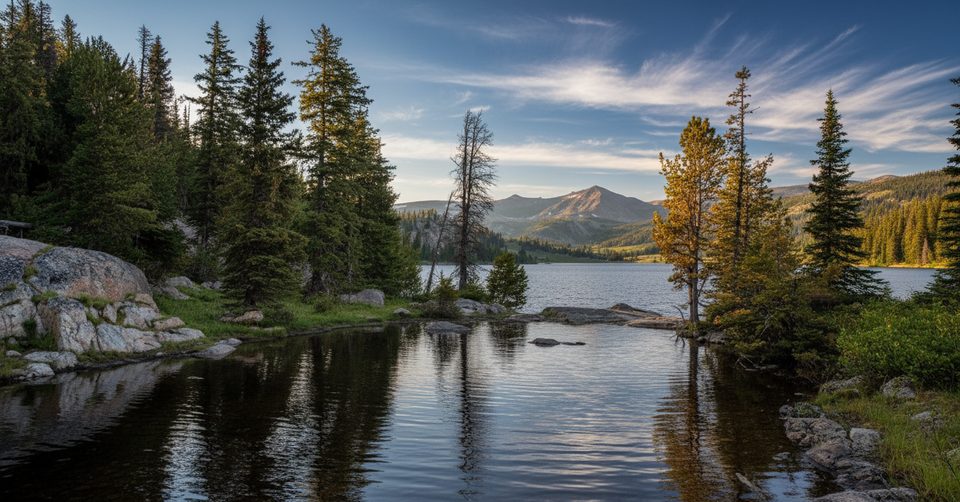
Challenging · 7.2 mi away
Challenging · 10.9 mi away

Parkwolf Tour Guide
