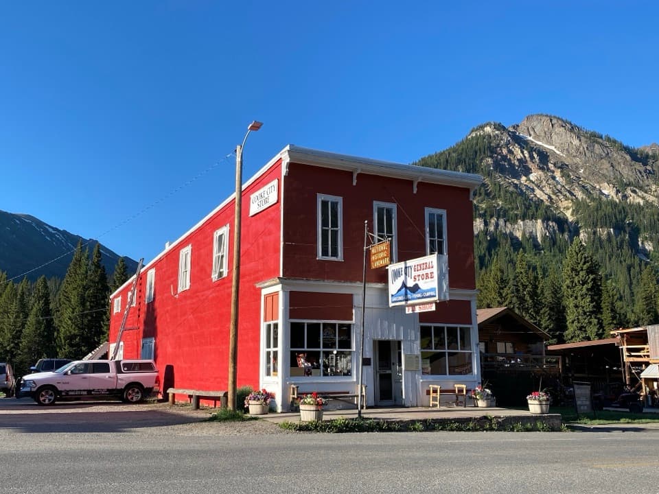
Cooke City Visitor Center and Museum in Beartooth Highway

Visitor center · Beartooth Highway

Cooke City Visitor Center and Museum

Nine touchscreens bring Cooke City's local history to life.

Type
Visitor center
Nearest trail
0.2 mi
Audio stories
3 nearby
  • Exhibit
  • Restrooms
  • Wi-Fi

Hear the audio tour

Cooke City: Museum and Historic Store

Overview

About Cooke City Visitor Center and Museum

Why stop

  • Nine touchscreen exhibits make local stories easy to explore.

Heads up

  • The collection is compact, so expect a short museum visit.

Map

Where it is

Loading the Beartooth Highway map
Full map
Visitor centerCooke City Visitor Center and Museum45.01915, -109.93698
Keep this map with you offline in the Parkwolf app

Plan your stop

Before you go

1 active Beartooth Highway alert

  • ClosureBeartooth Highway seasonal closure and falling-rock advisoryBeartooth Highway (US-212) is closed for the season between Cooke City and Red Lodge; do not plan to travel the highway as a through route.Official details

Beartooth Highway alerts
A park ranger sits on a dash-mounted phone, talking, as Parkwolf’s Tour Guide plays “Army Cutworm Moths: A Grizzly Bear Buffet” on Grand Loop Road below Dunraven Pass in Yellowstone
Parkwolf Tour GuideThe highest, rockiest slopes around here are a summer buffet for grizzly bears.

Beartooth Highway Tour Guide

Your drive to Cooke City Visitor Center and Museum, narrated.

Parkwolf is a GPS audio tour guide for Beartooth Highway. As you drive, it chimes in with what’s ahead: hidden gems, upcoming stops, history, geology, and wildlife, right through your car’s speakers.

See the Beartooth Highway audio tour

Recorded for this place

Cooke City: Museum and Historic Store
0:00 / 0:32
“You're approaching Cooke City, a useful stop for supplies and a little mining-town history. I'd allow half an hour for the small museum, where touchscreens and artifacts cover local life, mining and the highway.”

Plays as you drive up to Cooke City Visitor Center and Museum in the Parkwolf Beartooth Highway Tour Guide.

More stories near here in the app

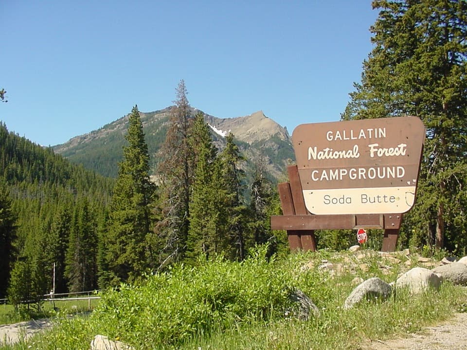
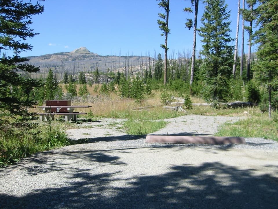
  • Soda Butte Campground
  • Before the Highway: Bannock Trail
  • Colter Campground
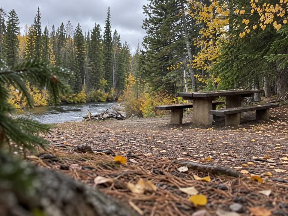
  • Clarks Fork Picnic Area
  • 62 audio storiesacross Beartooth Highway’s roads, triggered by GPS as you drive
  • Wildlife heatmapsfor Grizzly Bear, Gray Wolf, Bison, and 13 more
  • Works offlinemaps, 82 trails, 36 places, and audio download before you lose signal
  • CarPlay readysimple controls built for the drive
★★★★★
“Fantastic app with many points of information… It’s great to just turn on while you’re driving and it gives you an audio tour of the national Park. We love it!!!!”
JMJamesApp Store review
Download Parkwolf on the App StoreGet Parkwolf on Google Play

4.7 from 8,600+ ratings

Guide

More about Cooke City Visitor Center and Museum

A short stop with useful contextCooke City Montana Museum is a small local-history museum and visitor-information stop at 206…

Cooke City Montana Museum is a small local-history museum and visitor-information stop at 206 Main Street in Cooke City. Its eleven exhibits cover Cooke City, Colter Pass, Silver Gate and the Beartooth Highway. If you want some context for the country you're driving through, this is a good short stop; it's a compact museum, not a half-day visit.

Inside and outNine exhibits pair touchscreens with artifacts.

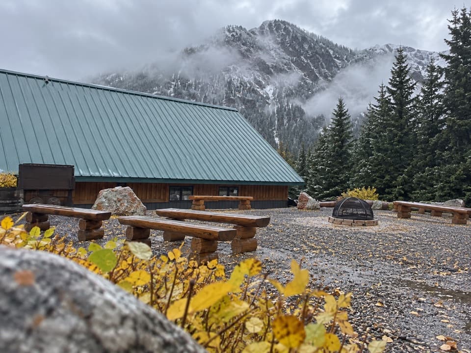
Nine exhibits pair touchscreens with artifacts. Topics range from mining and the Beartooth Highway to schooling, women, winter and Silver Gate. An outdoor exhibit area carries the mining story into the courtyard, where visitors also report old mining equipment and places to sit.

A mining story in numbersA reproduced 1893 newspaper account says the Alice E.

A reproduced 1893 newspaper account says the Alice E. property's cyanide mill made its first cleanup after a sixteen-day run, with the gold valued at about $6,000. That's a contemporary report, not a verified production total, but it gives a vivid sense of what miners hoped to recover.

Make it a useful pauseThe campus also serves as a local information stop, and visitors commonly pick up regional maps…

The campus also serves as a local information stop, and visitors commonly pick up regional maps and brochures here. Public restrooms make it a handy pause along the drive. Visitors report Wi-Fi, though availability may vary. No food service was confirmed at the museum, so plan to eat separately if that's part of your stop.

Wildlife

Wildlife in Beartooth Highway

All Beartooth Highway wildlife maps

Sighting maps show where each species has been reported across Beartooth Highway. Wildlife moves, so no sighting is guaranteed.

Parkwolf’s Beartooth Highway ranking

Top sights in Beartooth Highway

All 36 places
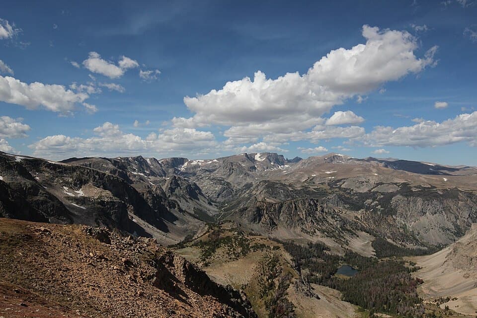
  1. 1Beartooth Pass VistaSight
  2. 2Rock Creek Vista PointSight
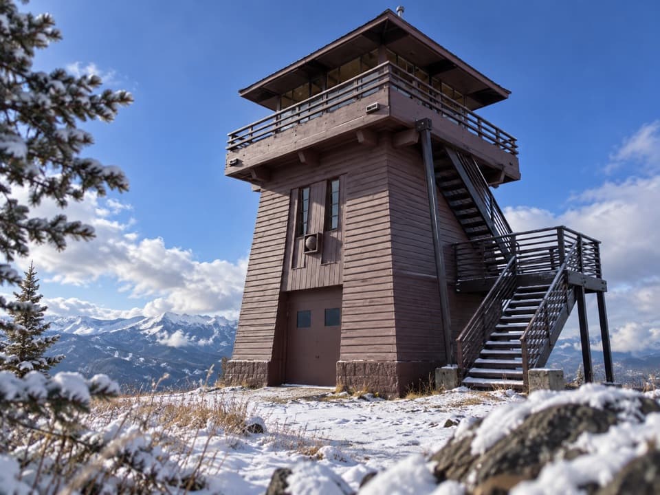
  3. 3Clay Butte LookoutSight
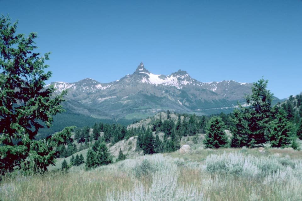
  4. 4Pilot and Index Peaks OverlookScenic pullout
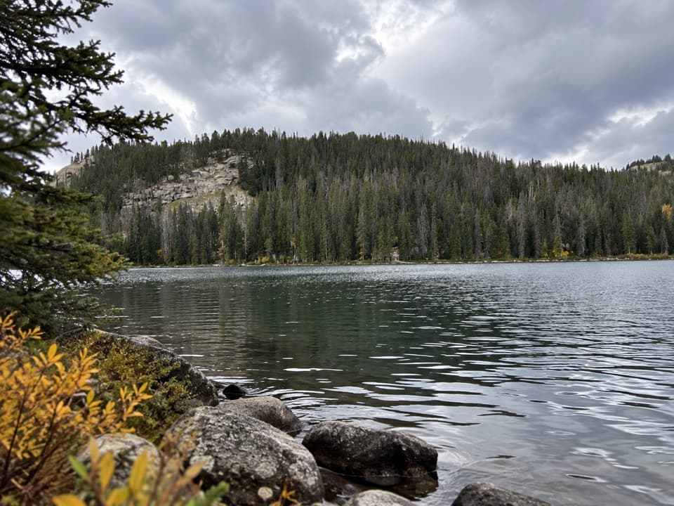
  5. 5Beartooth LakeSight
  6. 6Crazy Creek FallsSight

Take Parkwolf to Beartooth Highway.

The audio tour guide for the drive, plus offline maps, trails, and wildlife heatmaps for when the signal drops.

4.7 from 8,600+ ratings

Download Parkwolf on the App StoreGet Parkwolf on Google Play