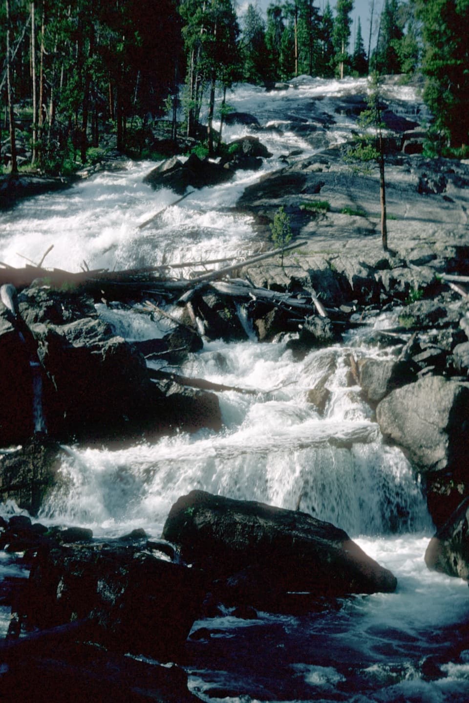
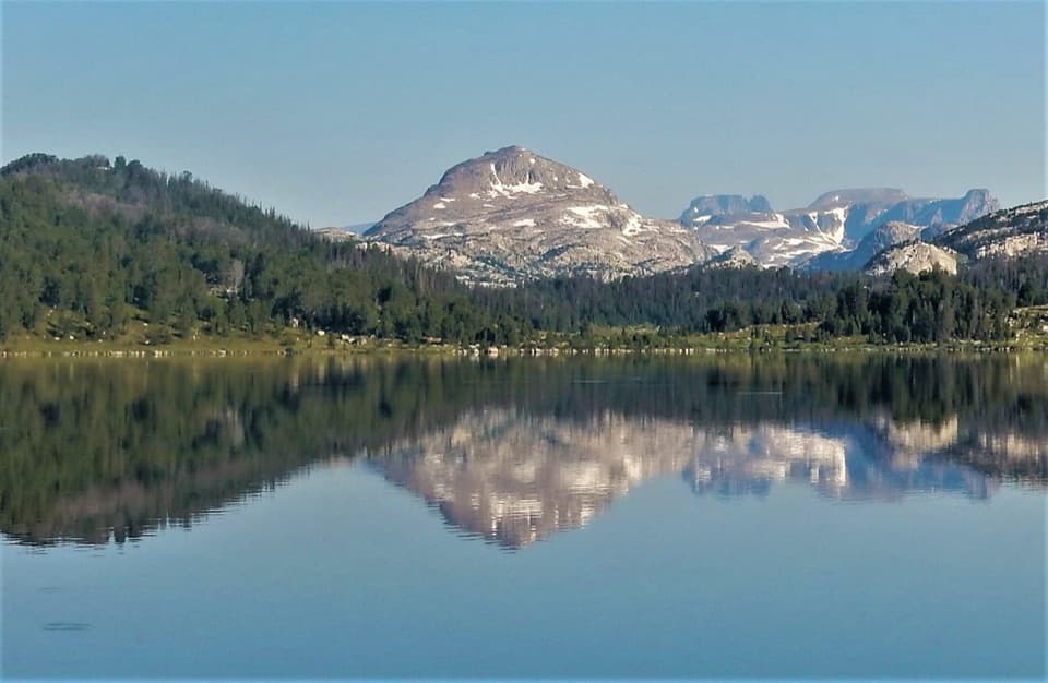
Rock Creek Vista Point in Beartooth Highway

#2 of 18 sights in Beartooth Highway

Sight · Beartooth Highway

Rock Creek Vista Point

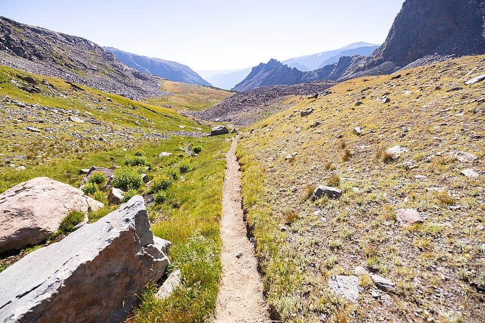
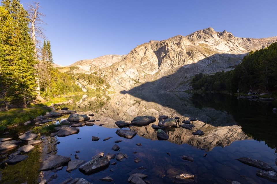
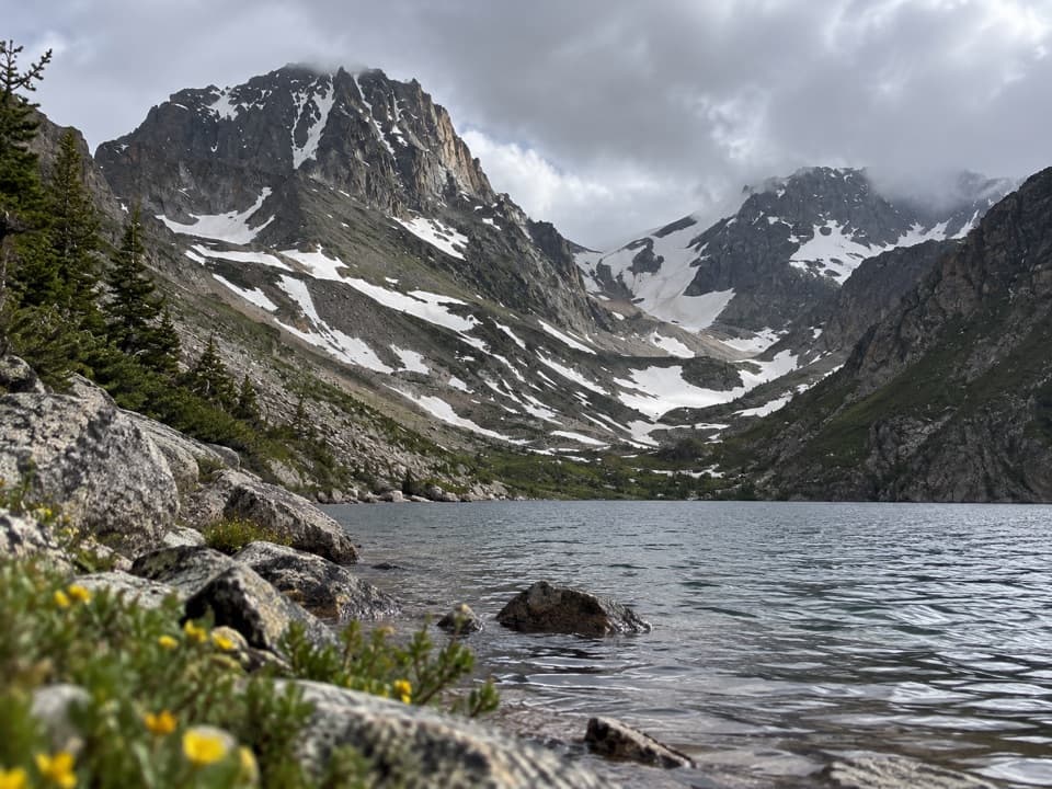
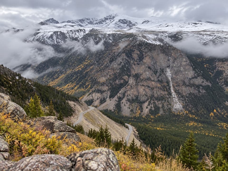
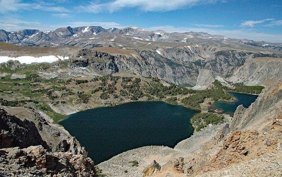
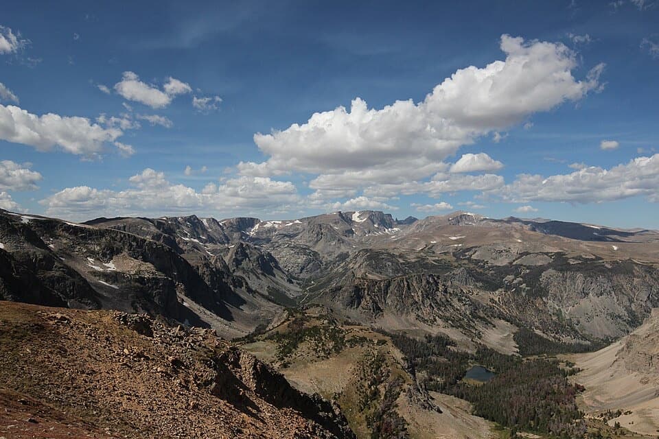
A short paved path opens onto a huge glacial valley.

Photo: Public Domain
Type
Sight
Nearest trail
0.8 mi
Audio stories
12 nearby
  • Scenic viewpoint
  • Parking
  • Restrooms
  • Exhibit

Hear the audio tour

Rock Creek Vista Point

Overview

About Rock Creek Vista Point

Why stop

  • Interpretive displays add context to the valley view
  • Chipmunks are a common sight around the turnout

Heads up

  • No potable water or trash facilities
  • Seasonal access depends on weather

Map

Where it is

Loading the Beartooth Highway map
Full map
SightRock Creek Vista Point45.04361, -109.40694
Keep this map with you offline in the Parkwolf app

Plan your stop

Before you go

1 active Beartooth Highway alert

  • ClosureBeartooth Highway seasonal closure and falling-rock advisoryBeartooth Highway (US-212) is closed for the season between Cooke City and Red Lodge; do not plan to travel the highway as a through route.Official details
Beartooth Highway alerts
A park ranger sits on a dash-mounted phone, talking, as Parkwolf’s Tour Guide plays “Army Cutworm Moths: A Grizzly Bear Buffet” on Grand Loop Road below Dunraven Pass in Yellowstone
Parkwolf Tour GuideThe highest, rockiest slopes around here are a summer buffet for grizzly bears.

Beartooth Highway Tour Guide

Your drive to Rock Creek Vista Point, narrated.

Parkwolf is a GPS audio tour guide for Beartooth Highway. As you drive, it chimes in with what’s ahead: hidden gems, upcoming stops, history, geology, and wildlife, right through your car’s speakers.

See the Beartooth Highway audio tour

Recorded for this place

Rock Creek Vista Point
0:00 / 0:30
“Rock Creek Vista Point is coming up, with a short paved path to a platform high above the valley. Give this one ten or fifteen minutes: you get a wide view without a long walk.”

Plays as you drive up to Rock Creek Vista Point in the Parkwolf Beartooth Highway Tour Guide.

More stories near here in the app

  • Reading a Bighorn's Horns
  • Crystals Older Than the Mountains
  • Building the Switchbacks
  • How Cliffs Become Rubble
  • 62 audio storiesacross Beartooth Highway’s roads, triggered by GPS as you drive
  • Wildlife heatmapsfor Grizzly Bear, Gray Wolf, Bison, and 13 more
  • Works offlinemaps, 82 trails, 36 places, and audio download before you lose signal
  • CarPlay readysimple controls built for the drive
★★★★★
“Fantastic app with many points of information… It’s great to just turn on while you’re driving and it gives you an audio tour of the national Park. We love it!!!!”
JMJamesApp Store review
Download Parkwolf on the App StoreGet Parkwolf on Google Play

4.7 from 8,600+ ratings

Guide

More about Rock Creek Vista Point

Make time for the viewRock Creek Vista Point is a roadside overlook on US 212, 18.9 miles south of Red Lodge.

Rock Creek Vista Point is a roadside overlook on US 212, 18.9 miles south of Red Lodge. A hard-surface path leads from the turnout to a platform above Rock Creek Valley, just where the highway begins its steep, winding descent. Give it a few minutes if you're driving the Beartooth; this is one of the route's standout wide-open views.

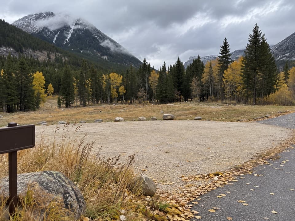
Take the short pathThe large parking lot serves a short paved path to the platform and its interpretive displays.

The large parking lot serves a short paved path to the platform and its interpretive displays. The path's exact length and grade aren't posted, so a hard surface alone doesn't tell you whether it will work for your mobility needs. There are vault toilets, but no potable water or trash service. Bring your water and pack out your rubbish.

The site is day use, open sunrise to sunset, with no fee. Its listed season runs from Memorial Day to mid-October, weather permitting, so plan around the highway's seasonal access.


Frame the valleyFrom the platform, look down to Rock Creek and across to Hellroaring Plateau, with Mt.

From the platform, look down to Rock Creek and across to Hellroaring Plateau, with Mt. Rearguard on the skyline. For a photo, keep the creek low in the frame and include a stretch of Beartooth Highway winding across the slopes; both make the valley's depth easier to read.

A glacier-shaped valleyRock Creek Valley is a classic U-shaped valley carved by glaciers.

Rock Creek Valley is a classic U-shaped valley carved by glaciers. The platform gives you a clear view of its broad floor and steep sides, along with the highway cut into the mountain above the creek.

Old rocks and mine scarsThe cliffs show layered ancient gneiss and metasupracrustal rock enclosed among lighter rocks…

The cliffs show layered ancient gneiss and metasupracrustal rock enclosed among lighter rocks of the Long Lake Magmatic Complex, about 2.8 billion years old. Across the creek, dark marks on the rim of Hellroaring Plateau are abandoned chrome mines.

Chipmunks at the turnoutVisitors often spot chipmunks around the rest area.

Visitors often spot chipmunks around the rest area. Keep an eye out while you take in the much bigger view.

Wildlife

Wildlife in Beartooth Highway

All Beartooth Highway wildlife maps

Sighting maps show where each species has been reported across Beartooth Highway. Wildlife moves, so no sighting is guaranteed.

Keep exploring

Near Rock Creek Vista Point

See it all on the map

Trails nearby

More stops nearby

Parkwolf’s Beartooth Highway ranking

Top sights in Beartooth Highway

All 36 places
  1. 1Beartooth Pass VistaSight
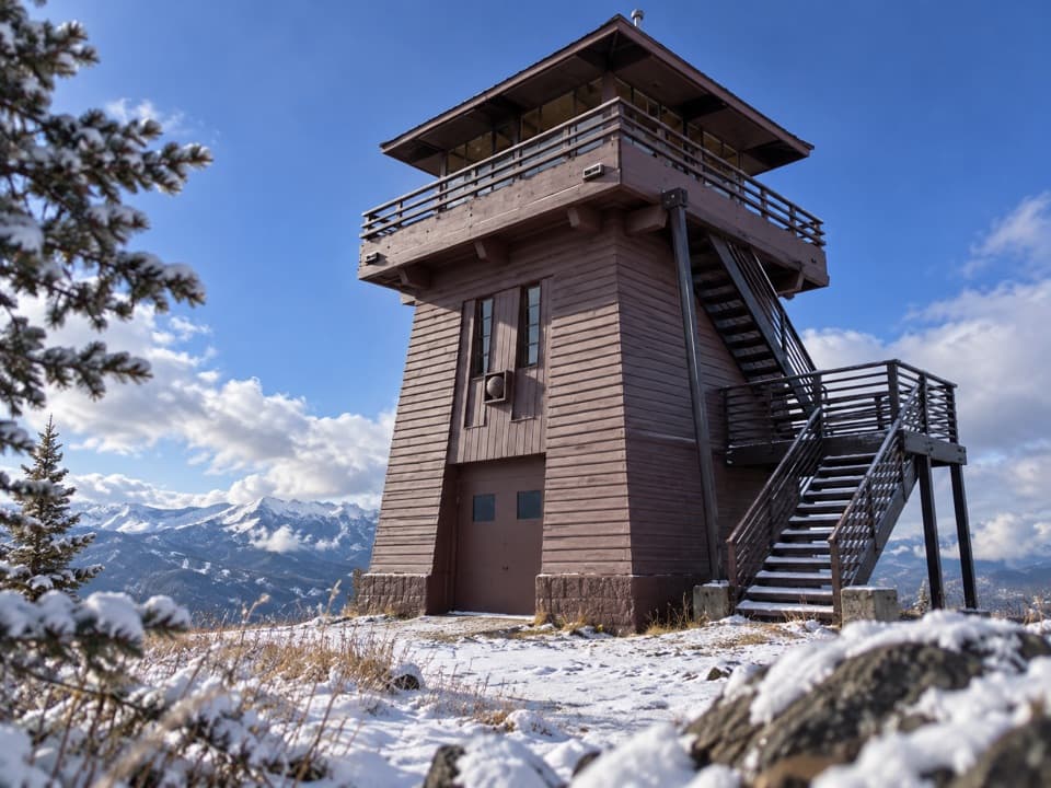
  2. 3Clay Butte LookoutSight
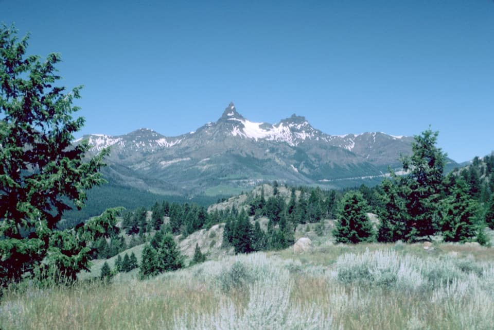
  3. 4Pilot and Index Peaks OverlookScenic pullout
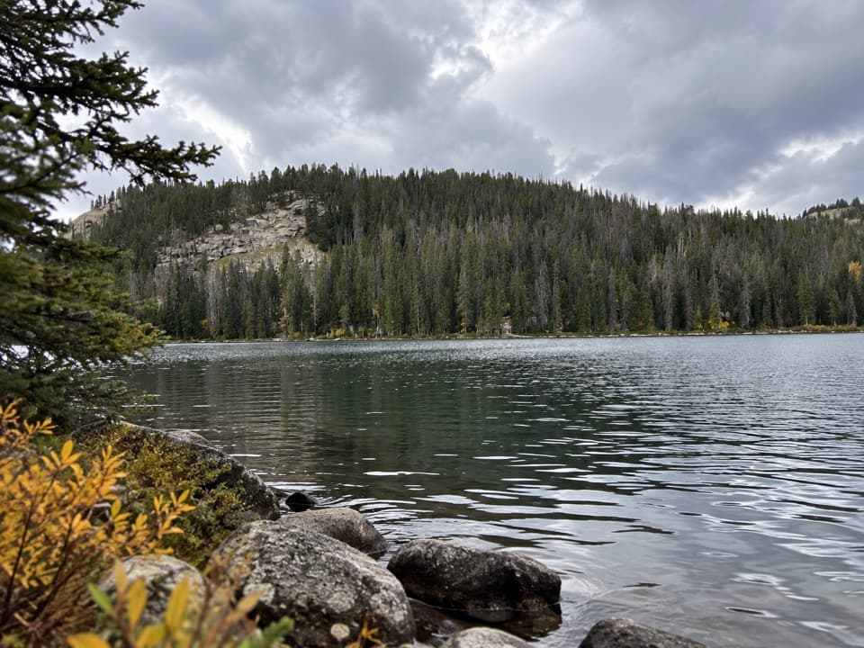
  4. 5Beartooth LakeSight
  5. 6Crazy Creek FallsSight
  6. 7Island LakeSight

Take Parkwolf to Beartooth Highway.

The audio tour guide for the drive, plus offline maps, trails, and wildlife heatmaps for when the signal drops.

4.7 from 8,600+ ratings

Download Parkwolf on the App StoreGet Parkwolf on Google Play