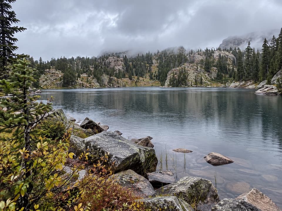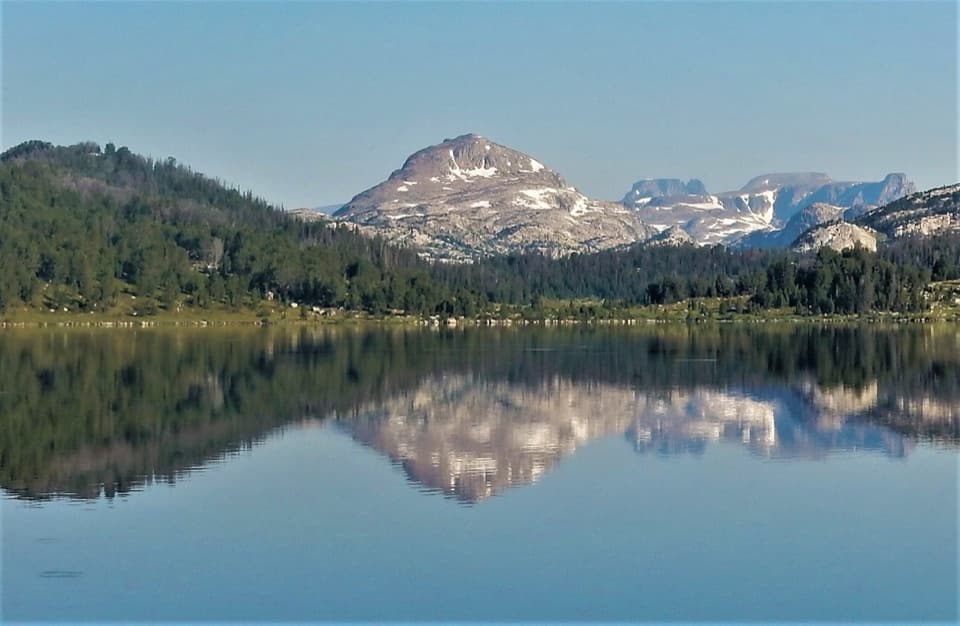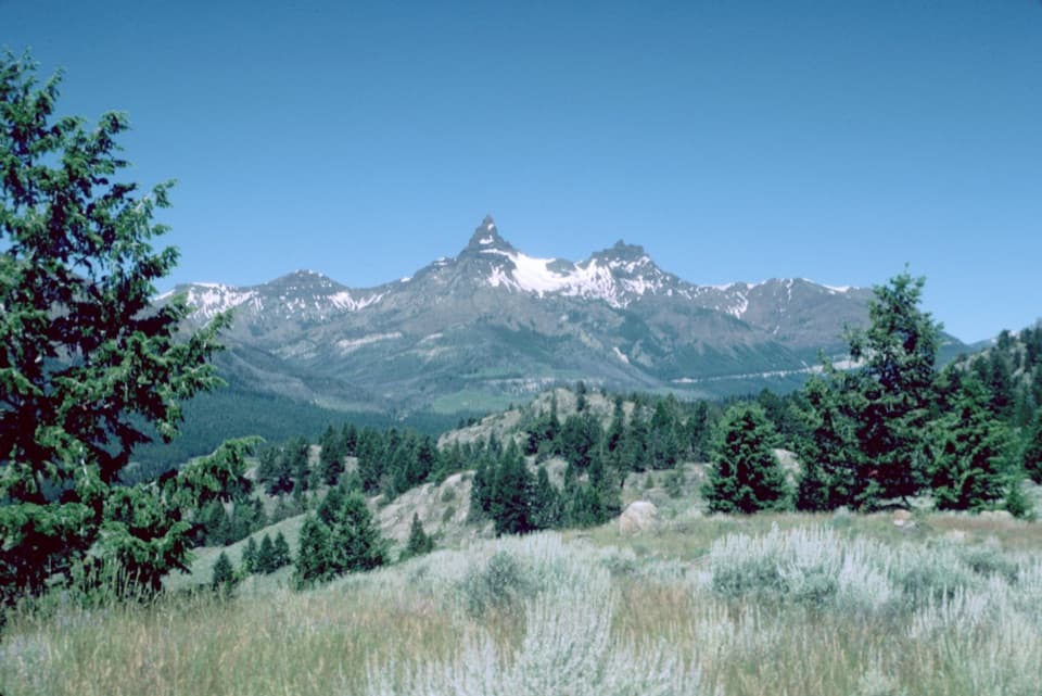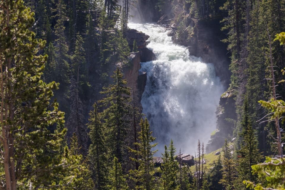
Clay Butte Lookout in Beartooth Highway

#3 of 18 sights in Beartooth Highway

Sight · Beartooth Highway

Clay Butte Lookout

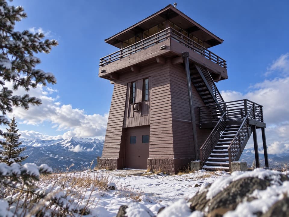
A historic fire tower with a 360-degree Beartooth panorama.

Type
Sight
Nearest trail
0.6 mi
Audio stories
6 nearby
  • Scenic viewpoint
  • Exhibit
  • Restrooms

Hear the audio tour

Clay Butte Lookout Detour

Overview

About Clay Butte Lookout

Why stop

  • The exhibits connect a memorable mountain view to the history of fire lookouts.

Heads up

  • The steep, rough gravel spur and seasonal access make this less spontaneous than a highway pullout.

Map

Where it is

Loading the Beartooth Highway map
Full map
SightClay Butte Lookout44.94438, -109.62653
Keep this map with you offline in the Parkwolf app

Plan your stop

Before you go

1 active Beartooth Highway alert

  • ClosureBeartooth Highway seasonal closure and falling-rock advisoryBeartooth Highway (US-212) is closed for the season between Cooke City and Red Lodge; do not plan to travel the highway as a through route.Official details

Beartooth Highway alerts
A park ranger sits on a dash-mounted phone, talking, as Parkwolf’s Tour Guide plays “Army Cutworm Moths: A Grizzly Bear Buffet” on Grand Loop Road below Dunraven Pass in Yellowstone
Parkwolf Tour GuideThe highest, rockiest slopes around here are a summer buffet for grizzly bears.

Beartooth Highway Tour Guide

Your drive to Clay Butte Lookout, narrated.

Parkwolf is a GPS audio tour guide for Beartooth Highway. As you drive, it chimes in with what’s ahead: hidden gems, upcoming stops, history, geology, and wildlife, right through your car’s speakers.

See the Beartooth Highway audio tour

Recorded for this place

Clay Butte Lookout Detour
0:00 / 0:31
“Up ahead is the access road for Clay Butte Lookout. The tower is two point six miles up a steep, rough gravel spur, so I'd skip this detour in a low-clearance car.”

Plays as you drive up to Clay Butte Lookout in the Parkwolf Beartooth Highway Tour Guide.

More stories near here in the app

  • Pilot and Index Peaks Overlook
  • Beartooth Falls
  • Beartooth Lake
  • The Older Volcanoes
  • 62 audio storiesacross Beartooth Highway’s roads, triggered by GPS as you drive
  • Wildlife heatmapsfor Grizzly Bear, Gray Wolf, Bison, and 13 more
  • Works offlinemaps, 82 trails, 36 places, and audio download before you lose signal
  • CarPlay readysimple controls built for the drive
★★★★★
“Fantastic app with many points of information… It’s great to just turn on while you’re driving and it gives you an audio tour of the national Park. We love it!!!!”
JMJamesApp Store review
Download Parkwolf on the App StoreGet Parkwolf on Google Play

4.7 from 8,600+ ratings

Guide

More about Clay Butte Lookout

Why make the detour?Clay Butte Lookout is a historic fire lookout and visitor interpretation site high above…

Clay Butte Lookout is a historic fire lookout and visitor interpretation site high above Beartooth Highway. The 2.6-mile spur leads to a small tower and a sweeping view; if the tower is open, the cab and the exhibits make this a richer stop than another roadside pullout.

Getting up to the lookoutFrom U.S. 212, Forest Road 142 climbs about 2.6 miles to the site.

From U.S. 212, Forest Road 142 climbs about 2.6 miles to the site. It is steep, rough gravel, so expect a slower and bumpier drive than the highway; low-clearance vehicles may find it uncomfortable. Access is seasonal, and road and tower status can differ, so check current conditions before making the detour. Vault toilets are listed, but there is no potable water at the site.

A working fire lookoutThe tower took shape in the early 1940s, with the Civilian Conservation Corps and Forest…

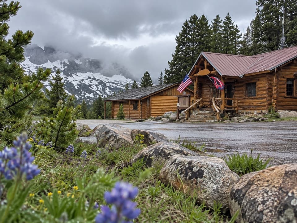
The tower took shape in the early 1940s, with the Civilian Conservation Corps and Forest Service crews building a standard lookout structure for fire detection and isolated staff. It remained in that role until aircraft took over more of the work in the 1960s. A visitor center was added at the base in 1962, and volunteers have staffed the site since 1975 to explain how lookouts worked.

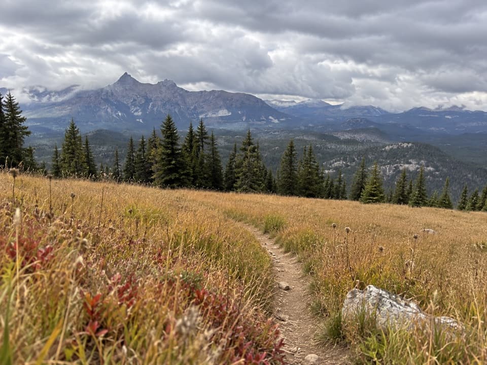
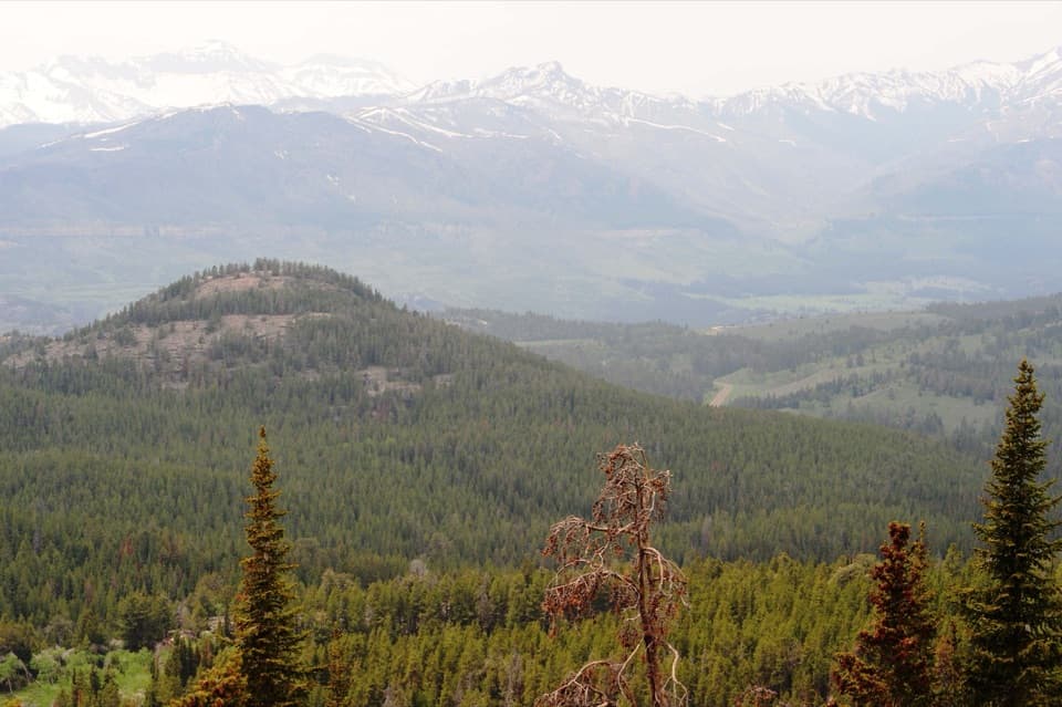
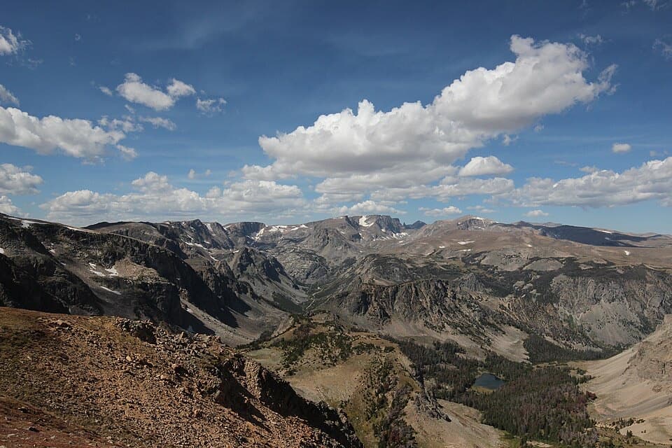
Read the landscapeFrom the upper cab, the panorama reaches across the Beartooth Plateau and into the Absarokas.

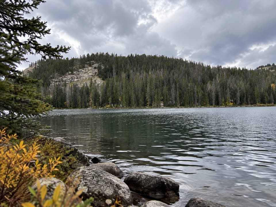
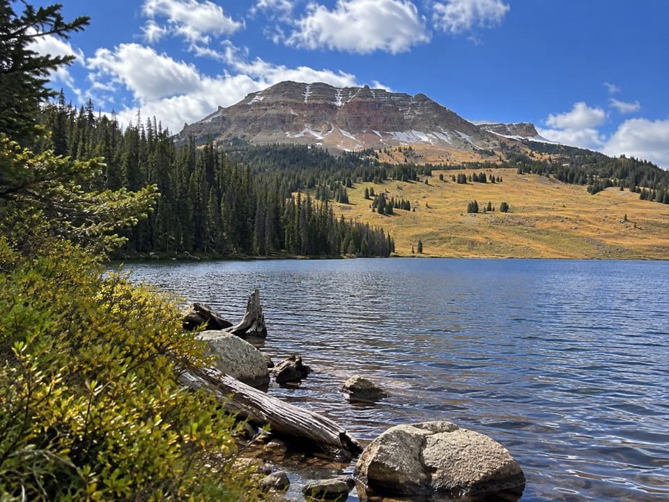
From the upper cab, the panorama reaches across the Beartooth Plateau and into the Absarokas. Pilot and Index Peaks, Beartooth Butte and Beartooth Lake give the wide view recognizable landmarks. The exhibits connect the scene to the 1988 Clover-Mist fire and ancient seas that once covered the plateau. On a clear day, include Beartooth Butte and the lake in a phone panorama to give the mountain sweep a useful anchor.

Inside the cabThe observation cab is a compact 14-by-14-foot room with a catwalk around it.

The observation cab is a compact 14-by-14-foot room with a catwalk around it. The stairs are steep, so skip the climb if heights or narrow stairs are uncomfortable. When the tower is open, the cab makes the lookout’s job easy to picture: a small room with an enormous view and a lot of ground to watch.

Wildlife

Wildlife in Beartooth Highway

All Beartooth Highway wildlife maps

Sighting maps show where each species has been reported across Beartooth Highway. Wildlife moves, so no sighting is guaranteed.

Keep exploring

Near Clay Butte Lookout

See it all on the map

Trails nearby

More stops nearby

Parkwolf’s Beartooth Highway ranking

Top sights in Beartooth Highway

All 36 places
  1. 1Beartooth Pass VistaSight
  2. 2Rock Creek Vista PointSight
  3. 4Pilot and Index Peaks OverlookScenic pullout
  4. 5Beartooth LakeSight
  5. 6Crazy Creek FallsSight
  6. 7Island LakeSight

Take Parkwolf to Beartooth Highway.

The audio tour guide for the drive, plus offline maps, trails, and wildlife heatmaps for when the signal drops.

4.7 from 8,600+ ratings

Download Parkwolf on the App StoreGet Parkwolf on Google Play