Bridal Falls Trail in Beartooth Highway

Beartooth Highway, MT · WY

Bridal Falls Trail

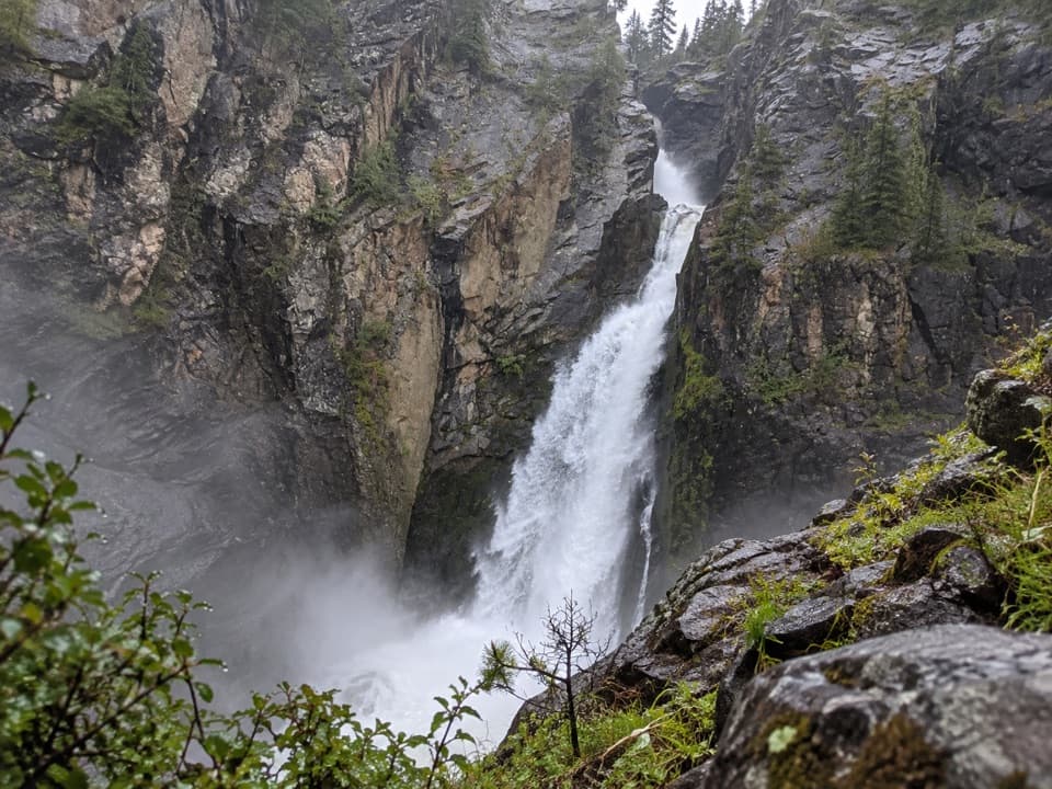
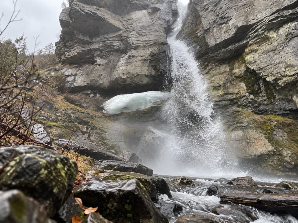
A 40-foot cascade drops through a narrow granite cleft.

Length
0.4mi
Time
30min
Elev. change
105ft
Difficulty
Easy
  • High point 7,539 ft
  • #39 of 82 in Beartooth Highway

Hear the audio tour

Before the Highway: Bannock Trail

Overview

About Bridal Falls Trail

Why go

  • A roughly 40-foot cascade in a narrow granite cleft
  • A very short walk from the Bannock bridge area

Heads up

  • Unmarked creekside tread with brush, logs and uneven rocks
  • Narrow pullout with room for only a couple of cars

Map & elevation

The route

Loading the Beartooth Highway map
Full map
Elevation7,434–7,539 ft
TrailheadBannock Trail pullout at Wyoming Creek bridge45.00838, -109.97327
Keep this map with you offline in the Parkwolf app

Plan your hike

Before you go

Parking

From Silver Gate, take Monument Avenue south, turn onto Bannock and continue to the Wyoming Creek bridge. Use the small pullout before the bridge; it is reported to fit about two cars. Do not park on nearby private property or block the road.

Safety

The unmarked creekside route includes brush, downed logs and uneven rocks. Wet rocks near the falls are slippery. Keep to the described pullout and route because the public land boundary is unclear; the pet rule could not be verified.

1 active Beartooth Highway alert

  • ClosureBeartooth Highway seasonal closure and falling-rock advisoryBeartooth Highway (US-212) is closed for the season between Cooke City and Red Lodge; do not plan to travel the highway as a through route.Official details
Beartooth Highway alerts
A park ranger sits on a dash-mounted phone, talking, as Parkwolf’s Tour Guide plays “Army Cutworm Moths: A Grizzly Bear Buffet” on Grand Loop Road below Dunraven Pass in Yellowstone
Parkwolf Tour GuideThe highest, rockiest slopes around here are a summer buffet for grizzly bears.

Beartooth Highway Tour Guide

Your drive to Bridal Falls Trail, narrated.

Parkwolf is a GPS audio tour guide for Beartooth Highway. As you drive, it chimes in with what’s ahead: hidden gems, upcoming stops, history, geology, and wildlife, right through your car’s speakers.

See the Beartooth Highway audio tour

Recorded for this area

Before the Highway: Bannock Trail
0:00 / 0:31
“The Bannock Trail around Silver Gate carries a much older travel story than the highway. Shoshone and Bannock people crossed the Yellowstone country to reach bison hunting grounds on the Great Plains.”

Plays on the road 0.3 mi from the trailhead in the Parkwolf Beartooth Highway Tour Guide.

More stories near here in the app

  • Turning Smoke into a Map Location
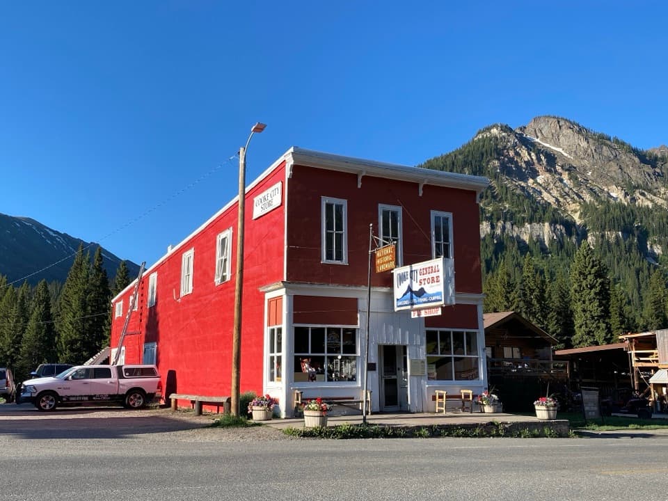
  • Cooke City: Museum and Historic Store
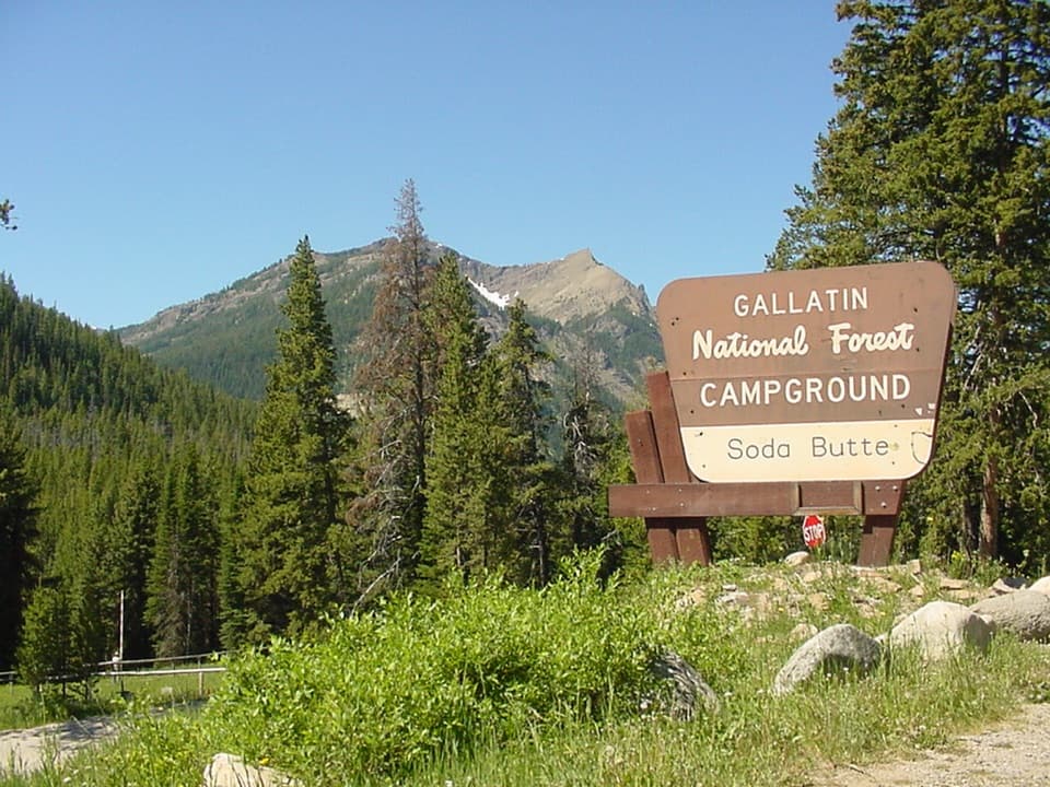
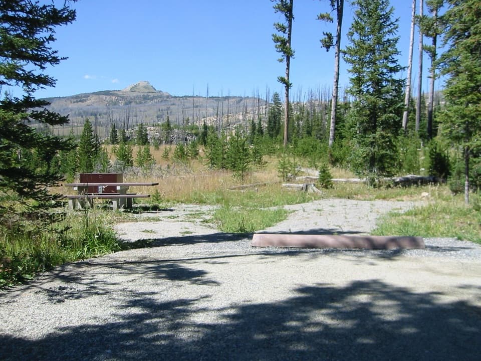
  • Soda Butte Campground
  • Colter Campground
  • 62 audio storiesacross Beartooth Highway’s roads, triggered by GPS as you drive
  • Wildlife heatmapsfor Grizzly Bear, Gray Wolf, Bison, and 13 more
  • Works offlinemaps, 82 trails, 36 places, and audio download before you lose signal
  • CarPlay readysimple controls built for the drive
★★★★★
“Fantastic app with many points of information… It’s great to just turn on while you’re driving and it gives you an audio tour of the national Park. We love it!!!!”
JMJamesApp Store review
Download Parkwolf on the App StoreGet Parkwolf on Google Play

4.7 from 8,600+ ratings

Trail guide

Hiking Bridal Falls Trail

A short waterfall walkBridal Falls is a short, creekside out-and-back from Bannock Trail near Silver Gate.

Bridal Falls is a short, creekside out-and-back from Bannock Trail near Silver Gate. Allow about 30 minutes for roughly 0.4 mile round trip with time to look at the cascade. The walk is short but not built: the unmarked path includes brush, downed logs and uneven rocks near the water.

Start near Wyoming CreekFrom Silver Gate, head south on Monument Avenue, turn onto Bannock and continue to the Wyoming…

From Silver Gate, head south on Monument Avenue, turn onto Bannock and continue to the Wyoming Creek bridge. Park in the small pullout before the bridge, follow the faint creekside route to the falls, then return the same way. The pullout is reported to fit about two cars. The land boundary and managing agency were not confirmed, so stay with the described access and keep clear of nearby private property.

The creekside routeDescriptions differ on creek-bank approaches and put the round trip between 0.4 and 0.6 mile.

Descriptions differ on creek-bank approaches and put the round trip between 0.4 and 0.6 mile. The mapped short route is about 0.19 mile to the falls, then back along the same line. A faint tread and log hops make distance a poor guide to footing. Pet rules were not clear, so check before bringing a dog.

At the fallsWater slips through a narrow crack in a granite wall and drops about 40 feet, hitting a ledge…

Water slips through a narrow crack in a granite wall and drops about 40 feet, hitting a ledge before it reaches the pool. The best view is close enough to see the cleft, but stay on stable ground because rocks at the base get slick. For a photo, keep the cleft around the water in frame so the shape of the falls reads.

Wildlife

Wildlife in Beartooth Highway

All Beartooth Highway wildlife maps

Sighting maps show where each species has been reported across Beartooth Highway. Wildlife moves, so no sighting is guaranteed.

Keep exploring

Near Bridal Falls Trail

See it all on the map

Trails that start nearby

Places near the trailhead

Parkwolf’s Beartooth Highway ranking

Top-rated trails in Beartooth Highway

All 82 trails
  1. 1Glacier Lake TrailChallenging · 4.4 mi
  2. 2Beartooth Lakes LoopModerate · 7.8 mi
  3. 3Becker and Albino Lakes TrailModerate · 12.2 mi
  4. 4Beartooth Loop National Recreation TrailChallenging · 10.9 mi
  5. 5The Beaten PathChallenging · 26 mi
  6. 6Gardner Lake TrailModerate · 1.6 mi

Take Parkwolf to Beartooth Highway.

The audio tour guide for the drive, plus offline maps, trails, and wildlife heatmaps for when the signal drops.

4.7 from 8,600+ ratings

Download Parkwolf on the App StoreGet Parkwolf on Google Play