Pros & cons
PROS
- Short walk from the highway with a big waterfall payoff
- Multiple viewpoints from the base and bedrock near the top
CONS
- Slick, dusty rock and no railings at the brink
- No toilets at the trailhead; campground restrooms only when open
Overview
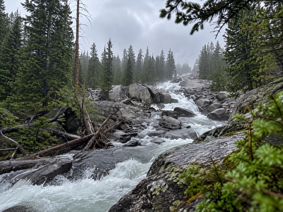
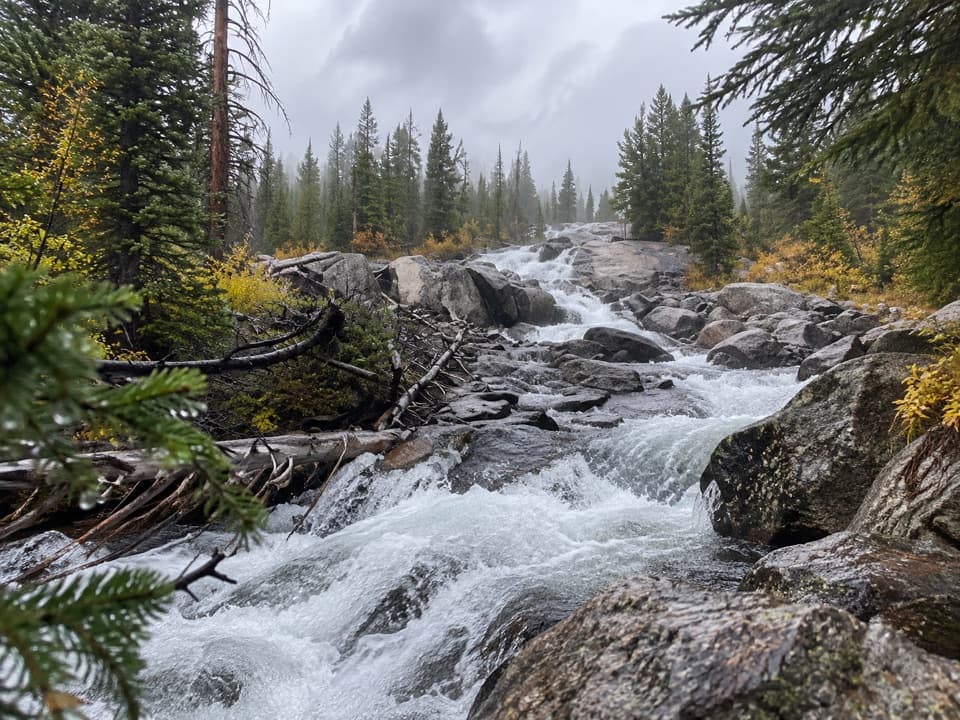
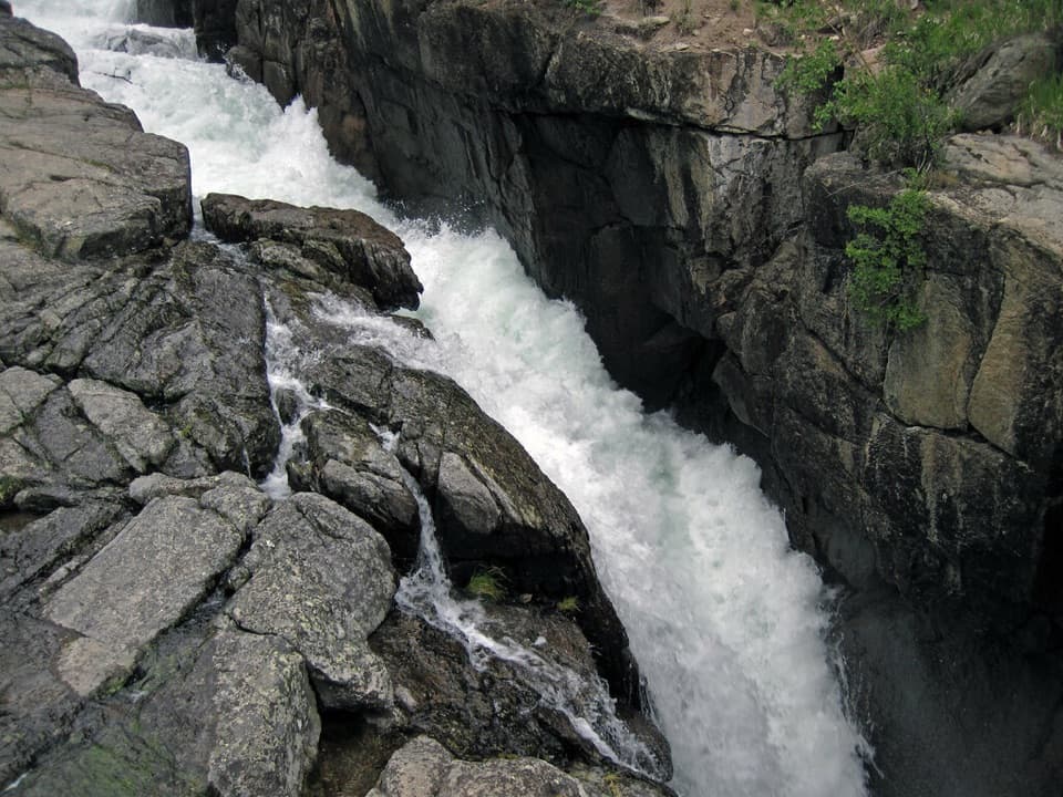
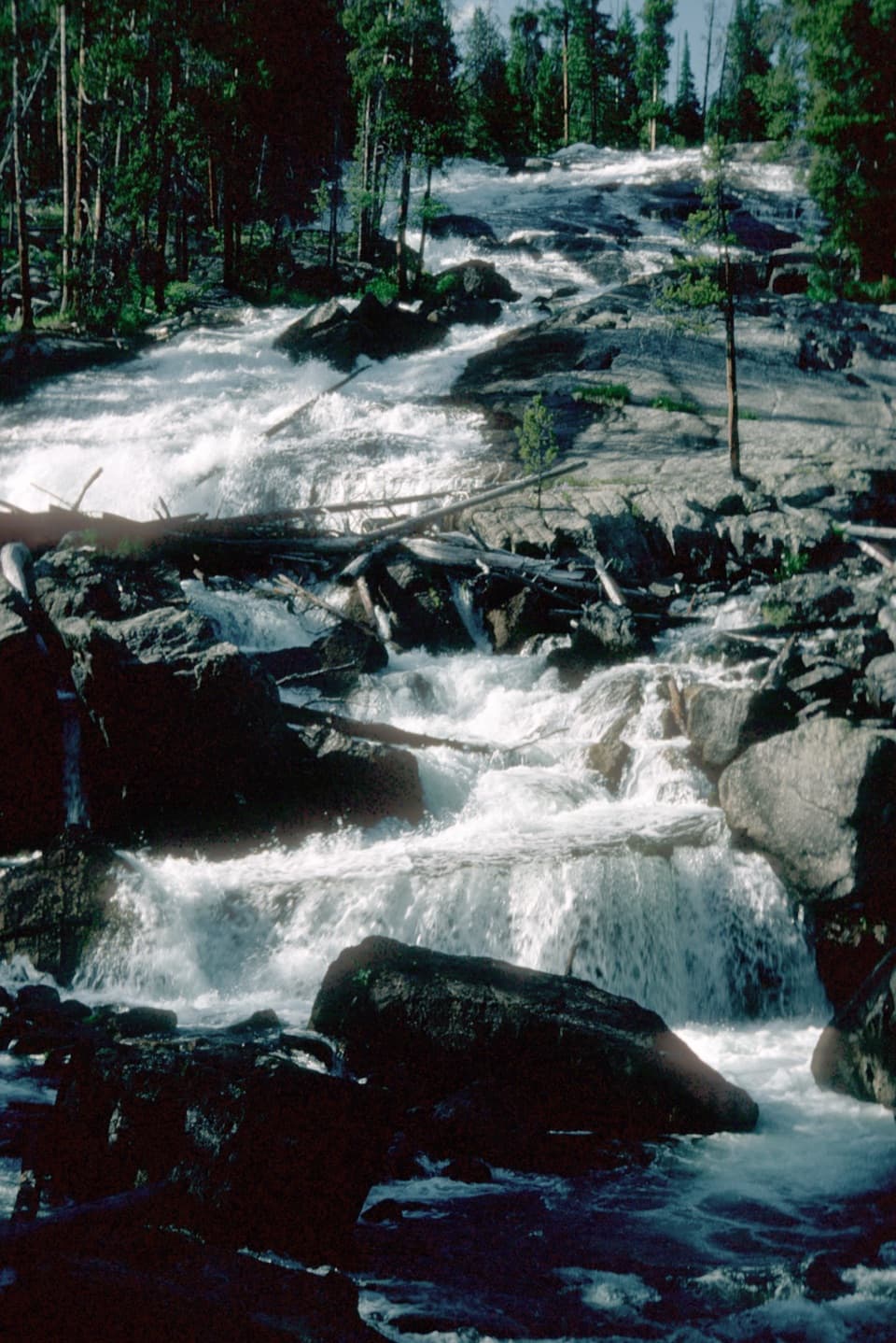
Crazy Creek Falls is a steep granite cascade just off the Beartooth Highway—more slide than free‑fall—with an overall drop roughly in the 120–150 ft range. It’s a classic quick stop that feels bigger than the time it takes, and it’s an easy add between Cooke City and the Chief Joseph Scenic Byway.
The Hike
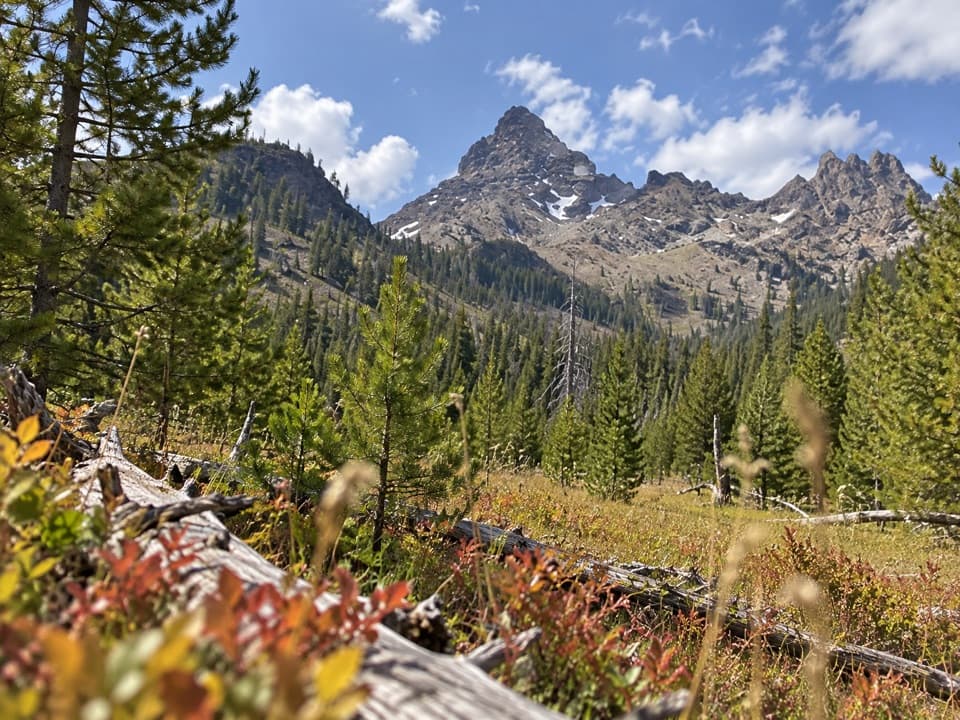
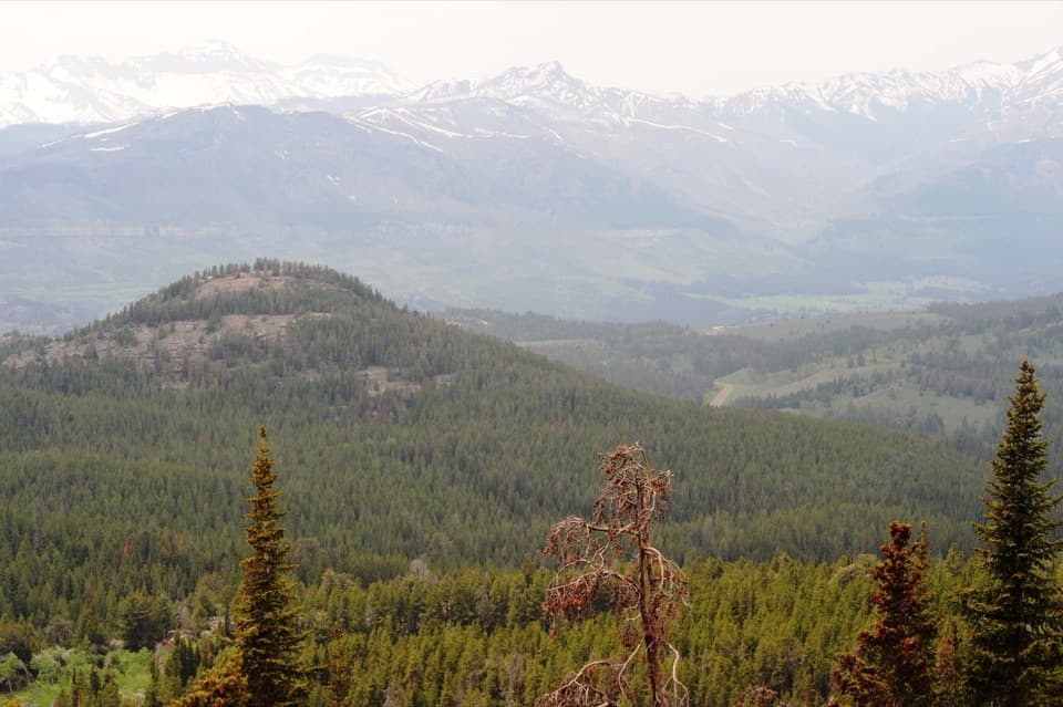
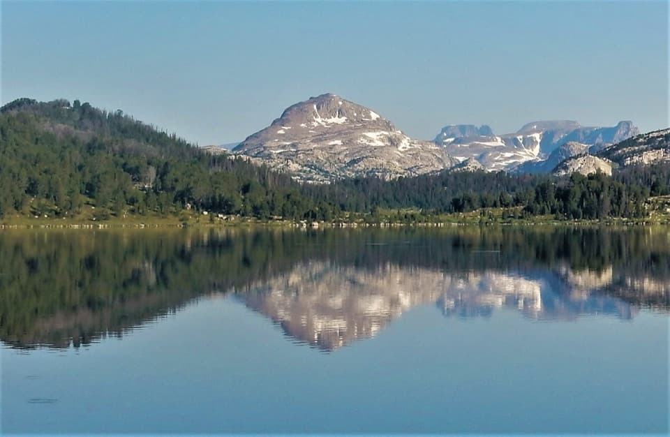
From the roadside parking, it’s only about 0.25 miles to the base viewpoint. If you’ve got more gas, continue uphill for a fuller outing of roughly 1.6 miles round‑trip with about 350–400 ft of gain. The bedrock can be dusty and slick, and there are no railings near the brink—sure‑footed shoes help. Dogs are allowed on leash. Past the first overlook, a short spur across open rock leads to the top for broader views and, on clear days, a peek toward Pilot Peak through the trees.
Getting There & Parking
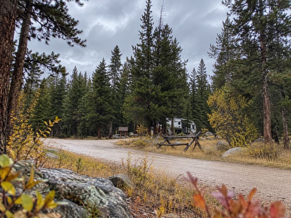
Look for the signed Crazy Creek Campground along US‑212; the falls trail starts just across the road, with a dedicated day‑use parking area on the north side of the highway opposite the campground entrance. If the campground gate is closed, expect only the small roadside parking; don’t block gates or travel lanes and follow on‑site signs.
Best Time to Visit
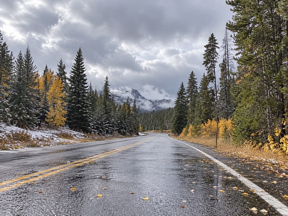
May through October is the typical window, weather permitting. Peak flow is late spring to mid‑summer; by late summer the cascade softens but is still photogenic. Morning light hits the falls head‑on and brings out the texture in the polished rock. Mosquitoes can be feisty in mid‑summer—pack repellent. Outside summer, snow and highway closures can shut things down unexpectedly.
Wildlife & Safety
You’re firmly in bear country—carry bear spray and keep food secured. Bears are occasionally reported near the trail. Drive the highway attentively; mountain goats are sometimes spotted along this stretch. Watch footing on the slick bedrock, especially after rain or when icy.
Logistics (2025 season)
As of September 10, 2025, the Forest Service lists the adjacent Crazy Creek Campground as closed for the season, which means no services; walk‑in use may be permitted but expect no maintenance. When open, the campground provides clean vault toilets, but there’s no potable water. Cell service is typically nonexistent here. For supplies, plan on Cooke City or Cody.
Photography Tips
Morning is best. After rain, the darkened bedrock makes the whitewater pop. From the base, compose with the creek’s diagonals for depth; from the top, include the downstream S‑curve and surrounding forest for context.
Where it is
44.9445, -109.7740Tips for Crazy Creek Falls
- 01Go past the first lookout for the best angles and a top‑of‑falls view.
- 02Morning light flatters the cascade; bring a polarizer to tame glare.
- 03Wear traction‑friendly shoes—the bedrock is dusty and slick when wet.
- 04Carry bear spray and keep dogs leashed; bears are occasionally reported.
- 05If visiting in shoulder seasons, confirm US‑212 road status before you go.
Amenities
Near Crazy Creek Falls
All places →All trails →
0 mi awayCrazy Creek Falls TrailShort, punchy climb to a cascade—best during spring runoffModerate · 1.6 mi · 51 min
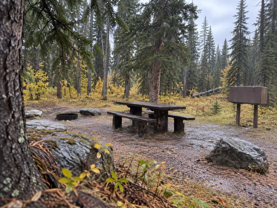
0.1 mi awayCrazy Creek CampgroundSmall, scenic forest campground by Crazy Creek FallsCampground · Restroom
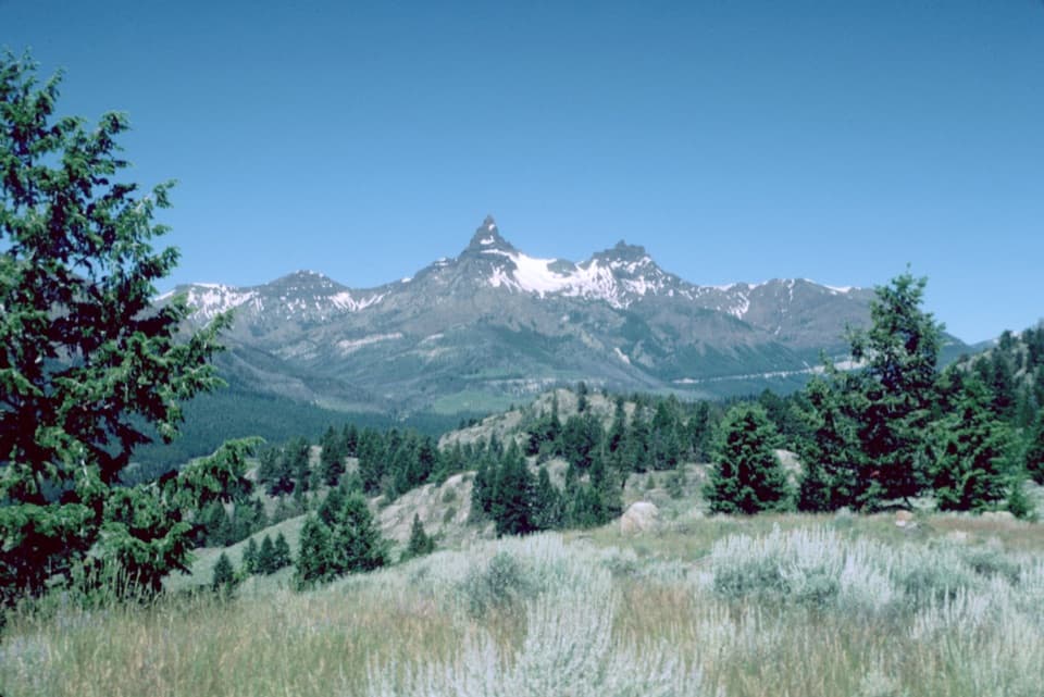
5.7 mi awayPilot PeakRoadside panorama of craggy Pilot and Index PeaksPullout · Parking
6.6 mi awayPilot and Index Peaks Overlook (Yellowstone Overlook)Big roadside view of spired Pilot and hulking Index PeaksPullout · Parking
6.9 mi awayClark's Fork OverlookBig-window view into the Clark's Fork canyon from the highwayPullout · Parking
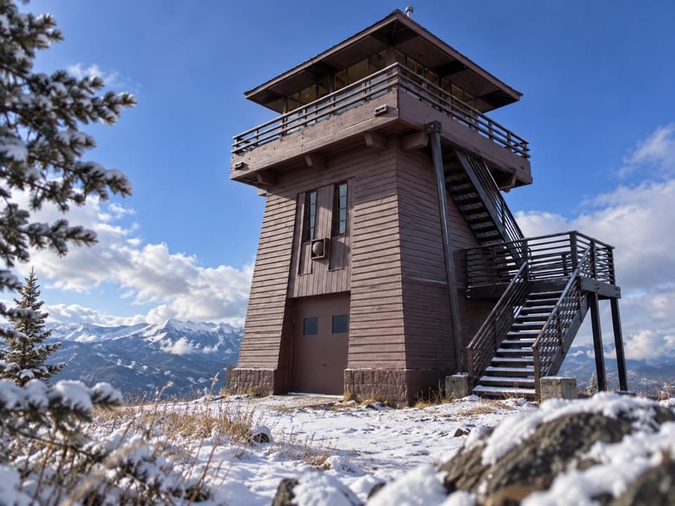
7.2 mi awayClay Butte Lookout TrailWalk the gravel road to big Beartooth views from a historic lookoutModerate · 5.2 mi · 2.5 hr
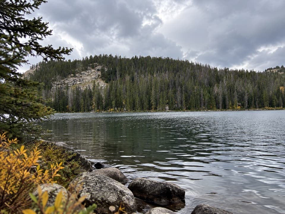
8.5 mi awayLady of the Lake TrailQuiet alpine lake hike with stream fords and big mountain payoffsModerate · 8.2 mi · 3.5 hr
8.8 mi awayRepublic Pass TrailSteep, scenic push to a remote pass on Yellowstone’s boundary.Challenging · 11.5 mi · 6.5 hr