Republic Creek Trail in Beartooth Highway

Beartooth Highway, MT · WY

Republic Creek Trail

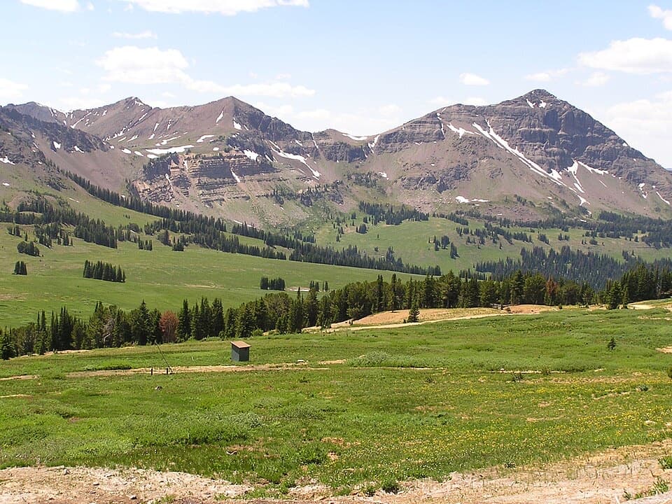
A creekside climb reaches the grassy edge of Yellowstone.

Photo: National Park Service
Length
8.4mi
Time
6.5hr
Elev. change
1,821ft
Difficulty
Challenging
  • Dogs allowed
  • High point 10,007 ft
  • #35 of 82 in Beartooth Highway

Hear the audio tour

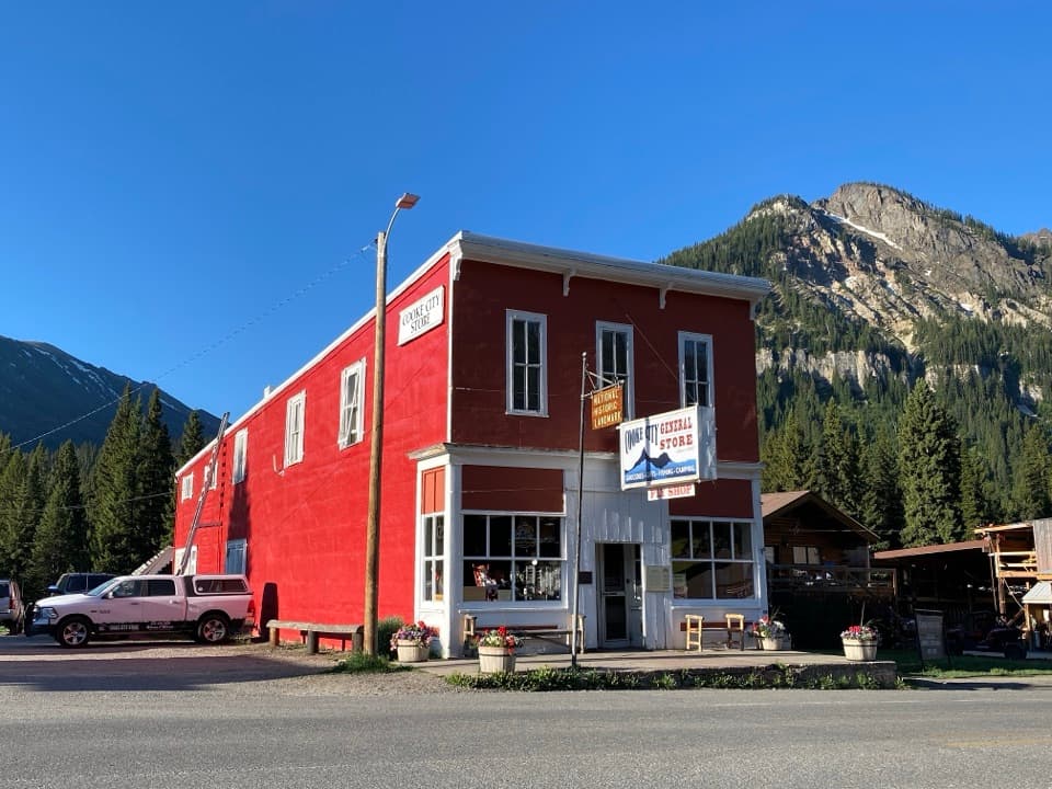
Cooke City: Museum and Historic Store

Overview

About Republic Creek Trail

Why go

  • A high, grassy pass with views into Yellowstone.
  • The creek valley and open upper slope make the climb varied.

Heads up

  • The final 1.7 miles are steep and the tread can fade above treeline.
  • Access to the tiny upper trailhead is uncertain.

Map & elevation

The route

Loading the Beartooth Highway map
Full map
Elevation8,186–10,007 ft
TrailheadRepublic Creek Trailhead45.00365, -109.93273
Keep this map with you offline in the Parkwolf app

Plan your hike

Before you go

Parking

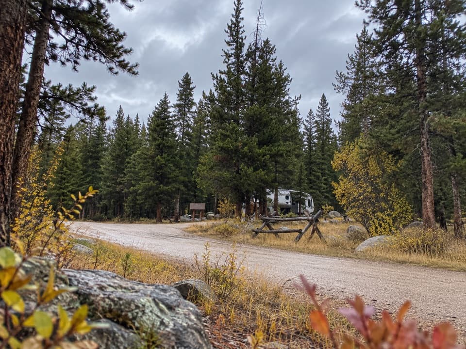
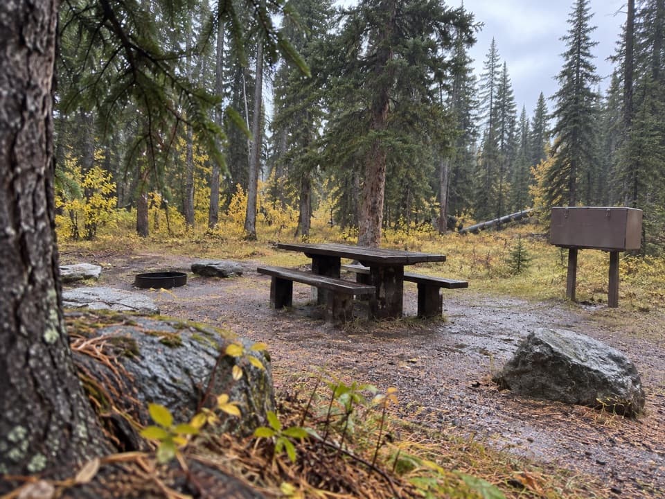
Use the signed Republic Creek Trailhead at the end of Republic Creek Road; the upper pull-off is reported to fit only a couple of vehicles. The road is described as steep and rough near a private cabin, and current vehicle access was not confirmed, so check with the Forest Service before driving up and respect private property. Lower winter parking near Cooke City adds about 3.2 miles round trip.

Safety

The final 1.7 miles climb about 1,450 feet, and the grassy tread can fade above treeline. The pass is near 10,000 feet. Current vehicle access on Republic Creek Road was not confirmed. Pets must turn around at the Yellowstone boundary because they are prohibited on Yellowstone backcountry trails.

1 active Beartooth Highway alert

  • ClosureBeartooth Highway seasonal closure and falling-rock advisoryBeartooth Highway (US-212) is closed for the season between Cooke City and Red Lodge; do not plan to travel the highway as a through route.Official details
Beartooth Highway alerts
A park ranger sits on a dash-mounted phone, talking, as Parkwolf’s Tour Guide plays “Army Cutworm Moths: A Grizzly Bear Buffet” on Grand Loop Road below Dunraven Pass in Yellowstone
Parkwolf Tour GuideThe highest, rockiest slopes around here are a summer buffet for grizzly bears.

Beartooth Highway Tour Guide

Your drive to Republic Creek Trail, narrated.

Parkwolf is a GPS audio tour guide for Beartooth Highway. As you drive, it chimes in with what’s ahead: hidden gems, upcoming stops, history, geology, and wildlife, right through your car’s speakers.

See the Beartooth Highway audio tour

Recorded for this area

Cooke City: Museum and Historic Store
0:00 / 0:32
“You're approaching Cooke City, a useful stop for supplies and a little mining-town history. I'd allow half an hour for the small museum, where touchscreens and artifacts cover local life, mining and the highway.”

Plays on the road 1.1 mi from the trailhead in the Parkwolf Beartooth Highway Tour Guide.

More stories near here in the app

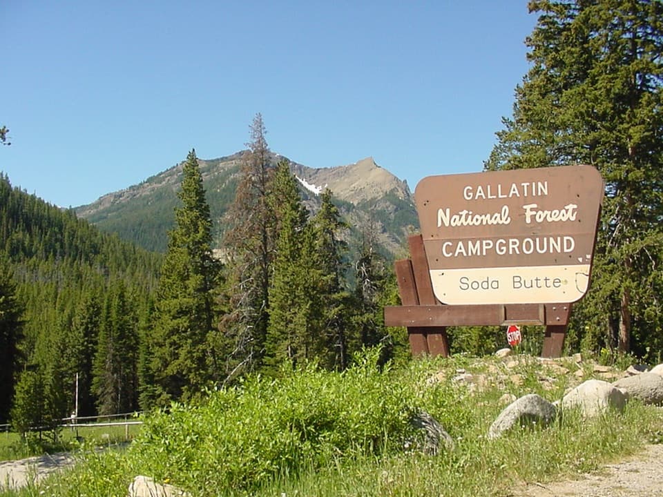
  • Soda Butte Campground
  • Before the Highway: Bannock Trail
  • Colter Campground
  • Clarks Fork Picnic Area
  • 62 audio storiesacross Beartooth Highway’s roads, triggered by GPS as you drive
  • Wildlife heatmapsfor Grizzly Bear, Gray Wolf, Bison, and 13 more
  • Works offlinemaps, 82 trails, 36 places, and audio download before you lose signal
  • CarPlay readysimple controls built for the drive
★★★★★
“Fantastic app with many points of information… It’s great to just turn on while you’re driving and it gives you an audio tour of the national Park. We love it!!!!”
JMJamesApp Store review
Download Parkwolf on the App StoreGet Parkwolf on Google Play

4.7 from 8,600+ ratings

Trail guide

Hiking Republic Creek Trail

A long climb to the passRepublic Creek Trail is an out-and-back from the signed upper trailhead to Republic Pass, where…

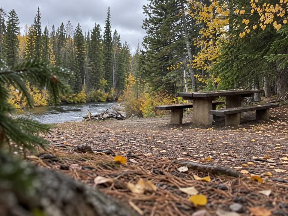
Republic Creek Trail is an out-and-back from the signed upper trailhead to Republic Pass, where a grassy saddle meets the Yellowstone boundary. The full walk is about 8.4 miles round trip, with roughly 1,900 feet of climbing; allow about six to seven hours. The first miles are a steady valley walk, but the last climb is steep and high, so this is a demanding day hike rather than a quick roadside stop. Republic Peak and the route continuing into Yellowstone are separate extensions; turn around at the pass for this hike.

Along Republic CreekFor nearly three miles the trail rises fairly gently through forest and small meadows, often…

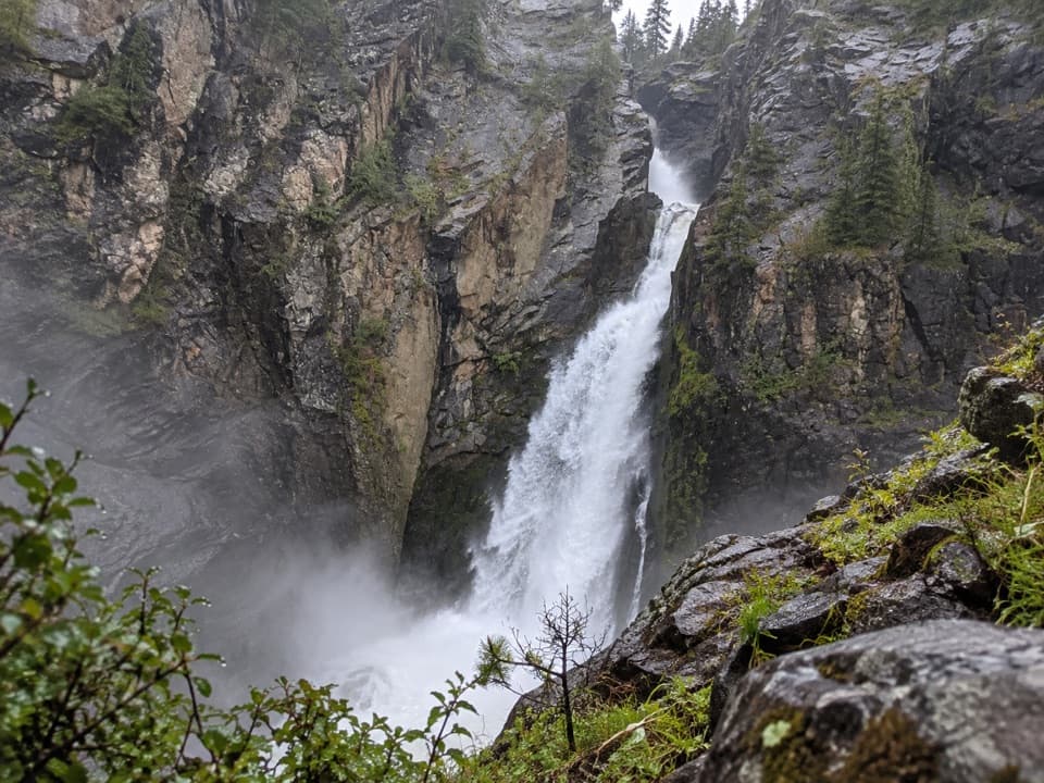
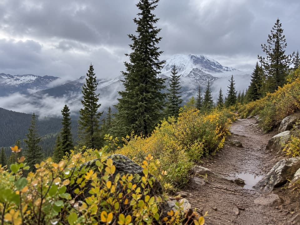
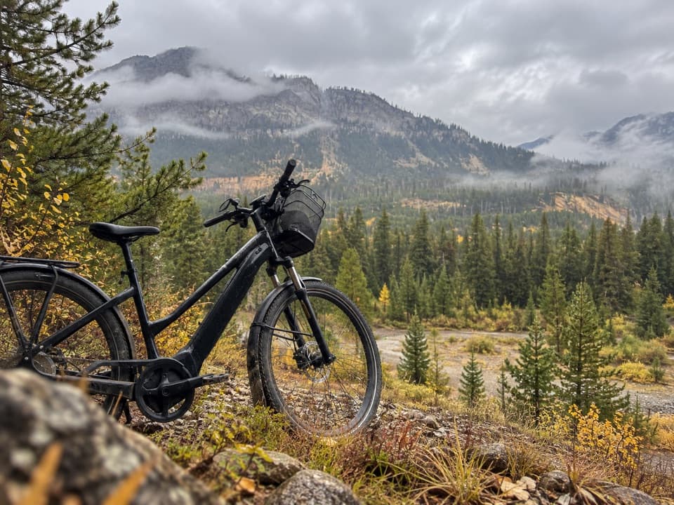
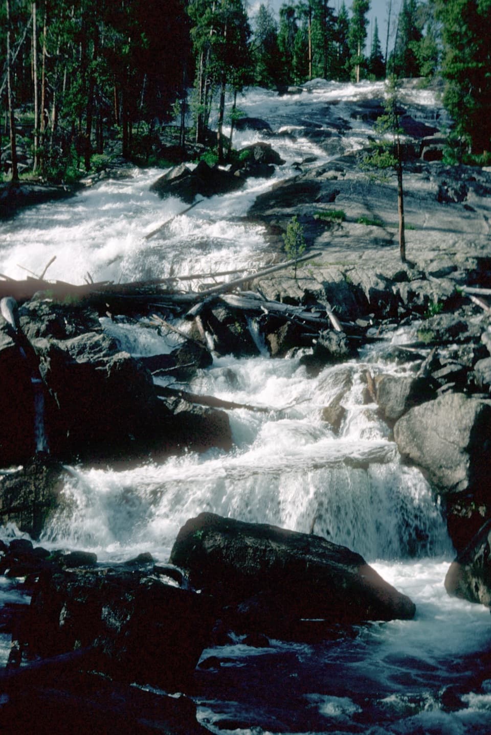
For nearly three miles the trail rises fairly gently through forest and small meadows, often near the creek. Openings give occasional views south up the valley toward Republic Pass and the ridgeline. The path crosses the creek near mile 2.6, then leaves the easier rhythm of the valley for the main climb.

The steep upper approachThe final roughly 1.7 miles gain about 1,450 feet.

The final roughly 1.7 miles gain about 1,450 feet. The slope opens after a rougher forest stretch, and above treeline the grassy tread can become faint. Keep the pass as the destination and be ready to turn back if you lose the route; the peak and ridgeline scrambles are not needed to reach the saddle. At nearly 10,000 feet, the altitude adds to the effort.

Stop at the boundaryRepublic Pass is a broad grassy saddle between Republic Peak and a rugged ridge, with views…

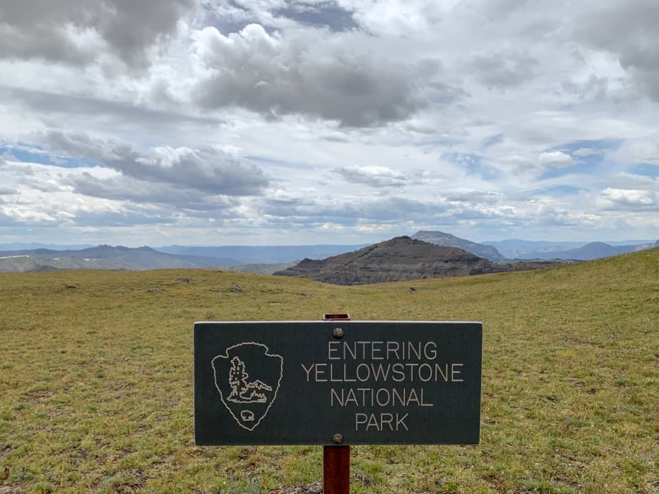
Republic Pass is a broad grassy saddle between Republic Peak and a rugged ridge, with views back toward the Beartooths and across the Yellowstone boundary. A boundary sign marks the pass. If you want a photograph, include the sign off to one side with the open meadow and ridges behind it. Dogs may go on the forest-side trail, but Yellowstone does not allow pets on its backcountry trails, so turn back at the boundary with a pet.

Getting to the signed trailheadThe upper trailhead is reached by Republic Creek Road and has very limited parking; the road…

The upper trailhead is reached by Republic Creek Road and has very limited parking; the road has been described as steep and rough near a private cabin. Current vehicle access was not confirmed, so verify it with the Forest Service before driving up and respect the nearby private property. A lower winter parking area near Cooke City adds about 3.2 miles of road walking round trip. A photograph from around 1890 records the view west from Republic Pass toward Amphitheater Mountain.

Wildlife

Wildlife in Beartooth Highway

All Beartooth Highway wildlife maps

Sighting maps show where each species has been reported across Beartooth Highway. Wildlife moves, so no sighting is guaranteed.

Keep exploring

Near Republic Creek Trail

See it all on the map

Trails that start nearby

Places near the trailhead

Parkwolf’s Beartooth Highway ranking

Top-rated trails in Beartooth Highway

All 82 trails
  1. 1Glacier Lake TrailChallenging · 4.4 mi
  2. 2Beartooth Lakes LoopModerate · 7.8 mi
  3. 3Becker and Albino Lakes TrailModerate · 12.2 mi
  4. 4Beartooth Loop National Recreation TrailChallenging · 10.9 mi
  5. 5The Beaten PathChallenging · 26 mi
  6. 6Gardner Lake TrailModerate · 1.6 mi

Take Parkwolf to Beartooth Highway.

The audio tour guide for the drive, plus offline maps, trails, and wildlife heatmaps for when the signal drops.

4.7 from 8,600+ ratings

Download Parkwolf on the App StoreGet Parkwolf on Google Play