Place · 2.2 mi away
Moderate

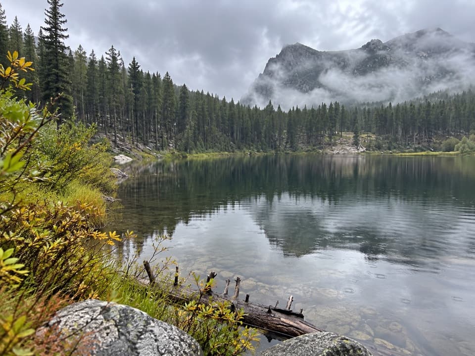
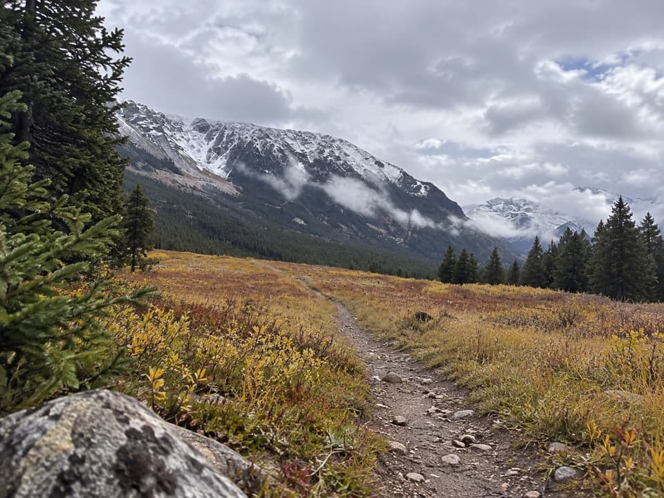
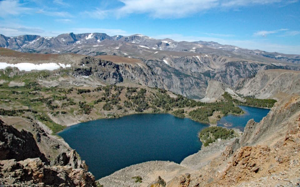
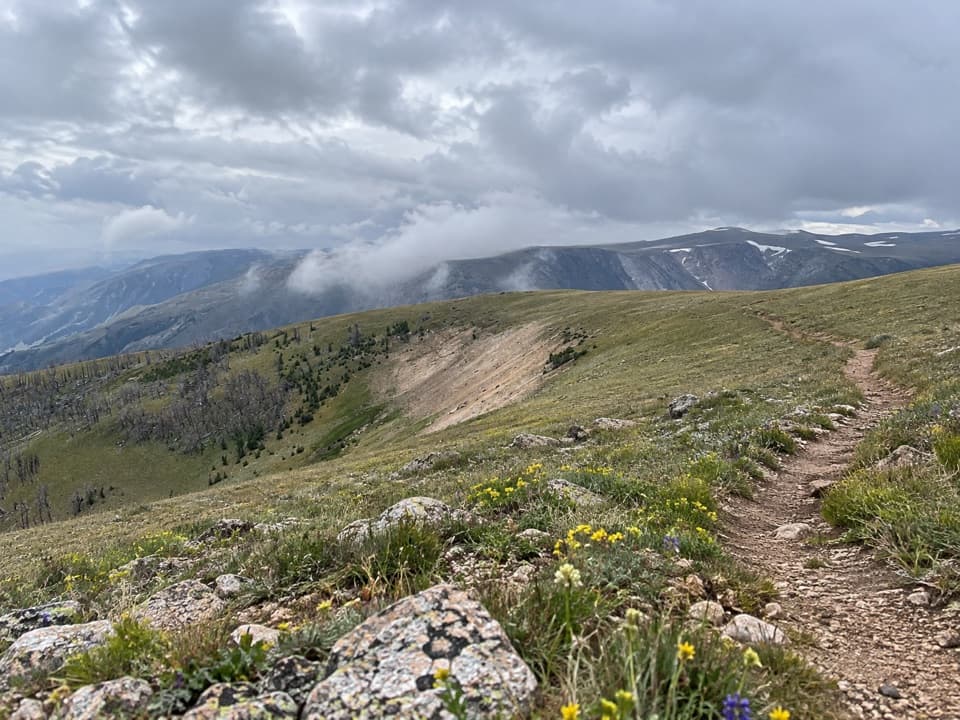
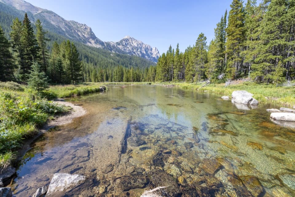
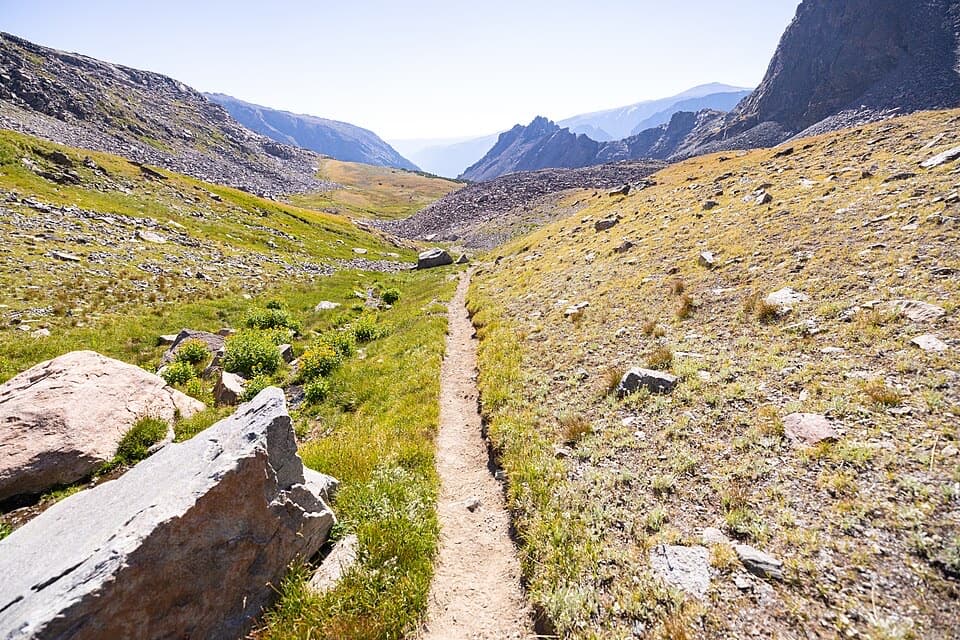
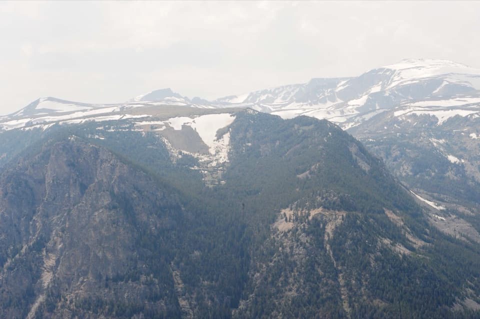
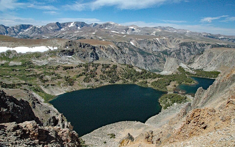
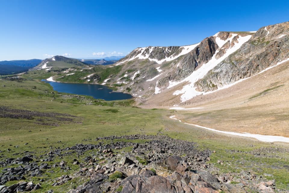
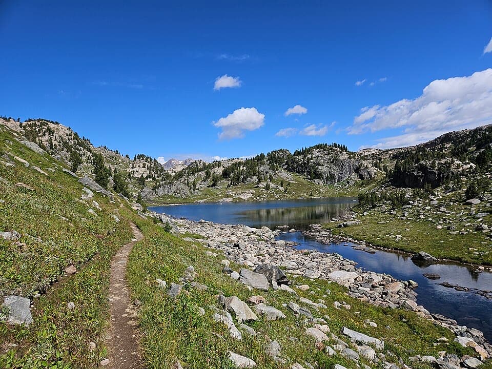
Hellroaring Plateau is a high, wide-open alpine walk with giant views and a choose‑your‑own‑effort approach. The actual trail on the plateau (Trail #11) is about 5 miles round trip with roughly 800 feet of total up‑and‑down, ending at a talus overlook above Shelf Lake with a user path toward Snowbank Lake. Many online distances list ~16 miles and ~3,500 feet—those numbers include hiking the rough access road instead of driving it. Decide which experience you want: a short, airy plateau ramble or a full endurance day that adds the road approach.
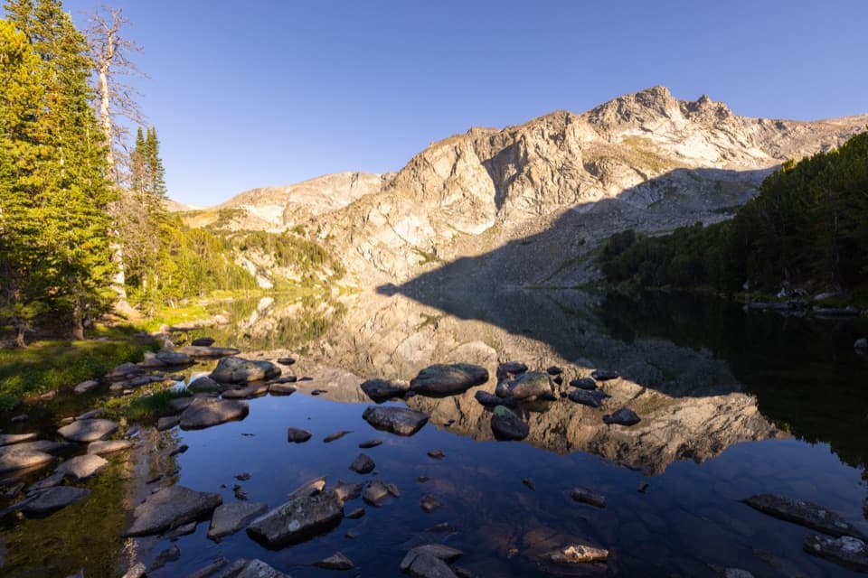
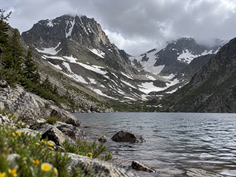
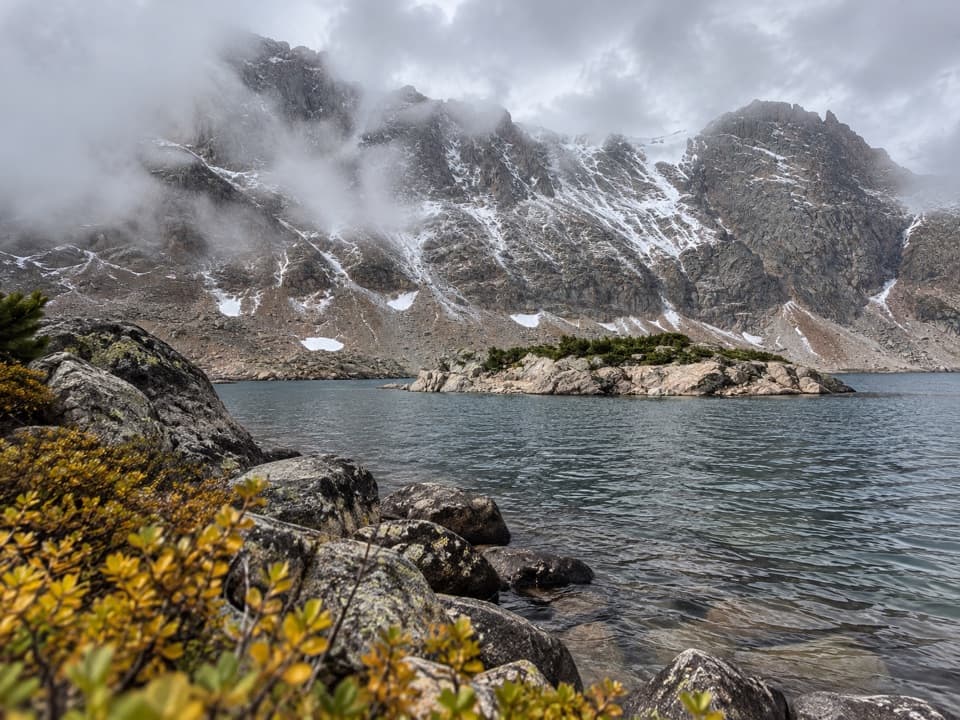
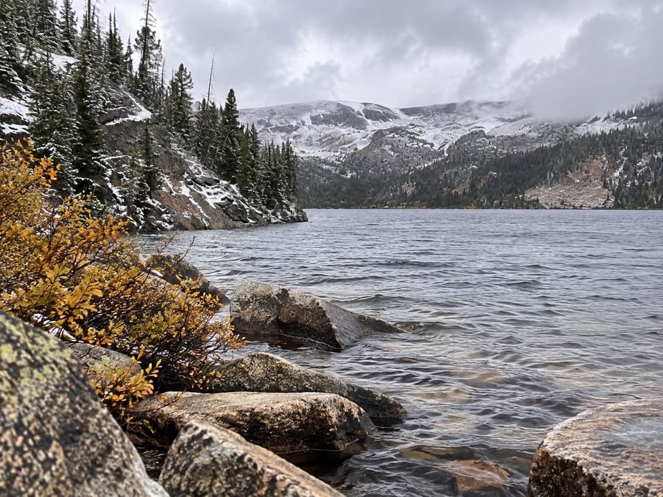
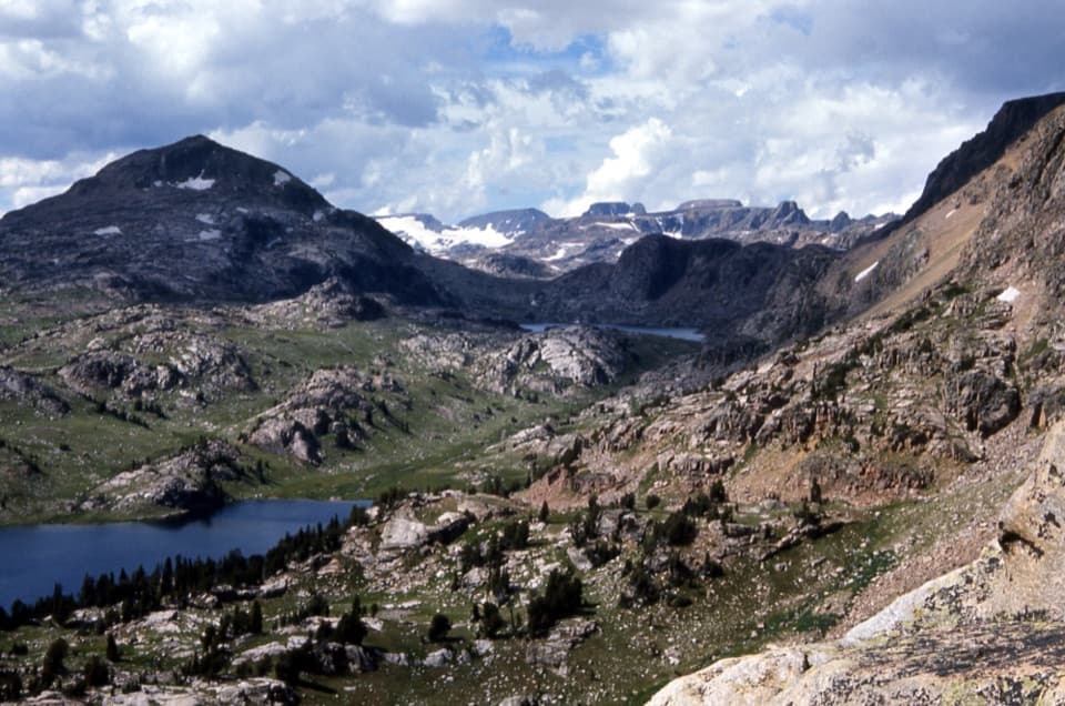
From the upper trailhead, the route follows an old track across the flat, wind‑raked plateau toward a steep talus lip above Shelf Lake. A faint user path drops toward Snowbank Lake. The tread is rocky throughout—sturdy shoes and trekking poles pay off. This high country is also a springboard for off‑trail adventures to Mount Rearguard (Montana’s 19th‑highest peak) and a chain of lakes (Shelf, Snowbank, Sliderock) if you have the skills and conditions.
If you’re new to the Beartooths, the short plateau outing delivers big scenery for less effort; the full road‑plus‑trail day is a worthwhile challenge if you like long, rocky miles.
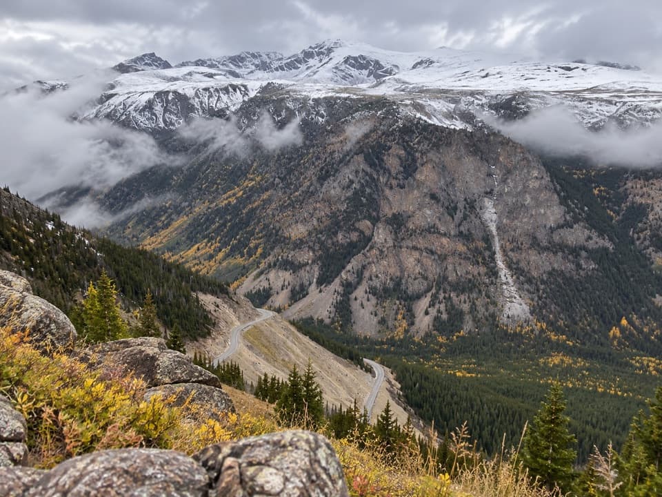
From the Beartooth Ranger District office, drive 10.9 miles south on US‑212, turn right on Main Fork Rock Creek Road for 0.9 miles (past three campgrounds), then bear right onto Hellroaring Road and continue roughly 5.6–6 miles to the upper trailhead. Hellroaring Road is very rocky with potholes, narrow sections, and steep drop‑offs—high‑clearance 4WD only, and it’s typically open to highway‑legal vehicles. Parking at the top is limited; turnouts along the road can serve as overflow. If you don’t want to drive the road, park lower and hike it as part of your day.
Wheeled motorized vehicles are closed on Hellroaring Road from August 1, 2025 at 8:00 a.m. through September 30, 2025 at 8:00 a.m. for bridge work. During that window, plan for the longer road‑plus‑trail outing on foot or by stock. A past report noted a washed‑out/“bridge down” area around 3 miles up with a small foot crossing; conditions change—confirm current status with the district office before you go.
Late June through September is the sweet spot. Snow and mud linger early, and afternoon thunderstorms roll across the plateau fast—start at first light for calmer winds, better visibility, and nicer photography. Weekdays see fewer vehicles on the approach road and fewer hikers on the plateau.
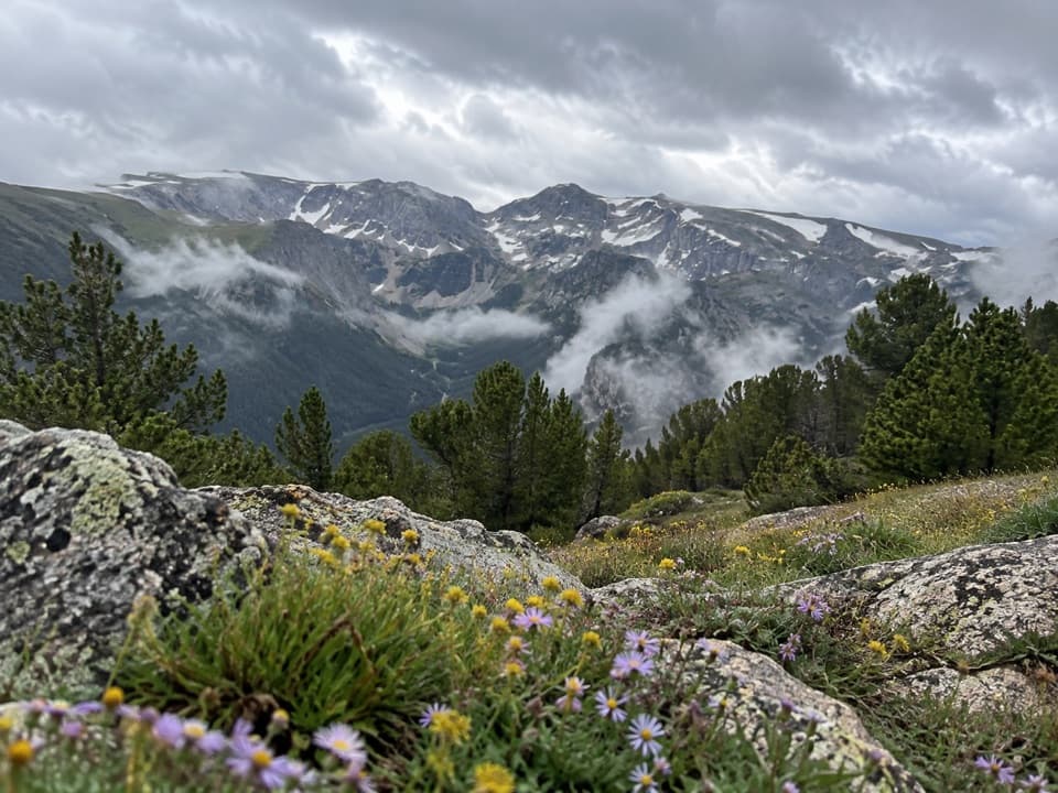
This is classic Beartooth high country—ancient basement rocks and stark alpine flats ringed by jagged peaks. Watch for Mountain Goats on the cliffs and always travel with bear awareness; this is grizzly country. The plateau’s broad horizons make storms easy to spot—but also leave you exposed when they arrive.
If the road is closed or you want an alternative, consider nearby options like the Lake Fork Trail or West Fork of Rock Creek—both deliver big scenery without the 4x4 approach.
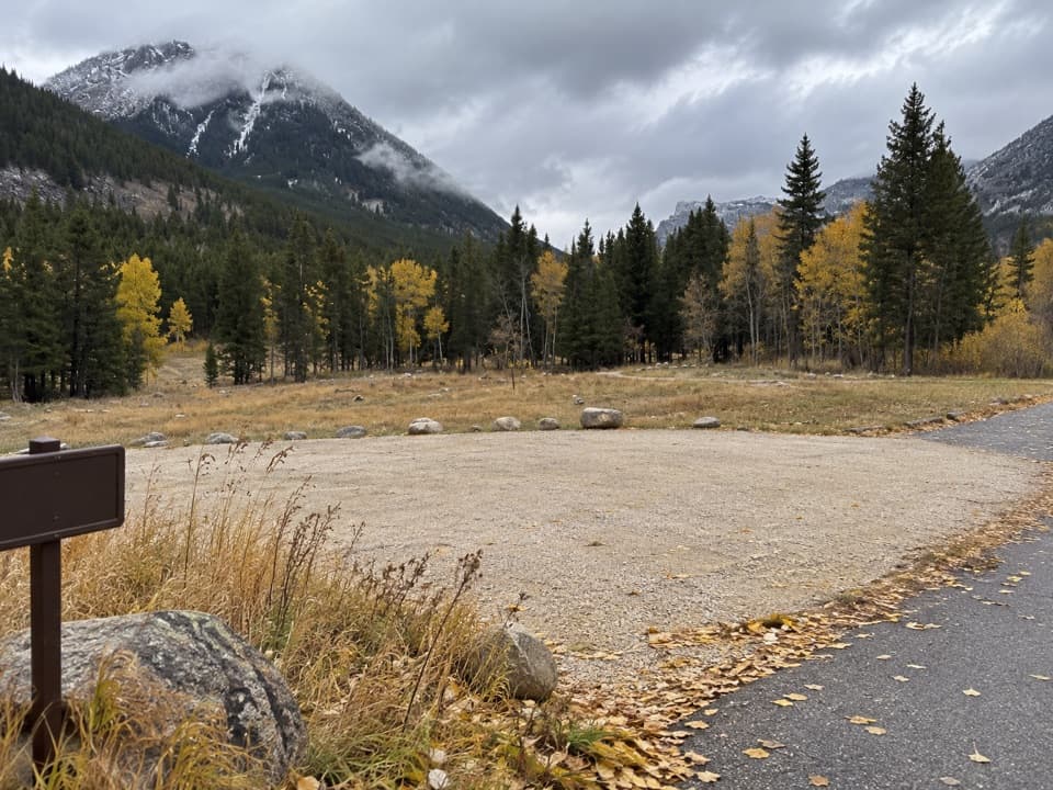
Limited parking at the upper trailhead atop Hellroaring Road. Directions: from the Beartooth Ranger District office, go 10.9 mi south on US‑212, right on Main Fork Rock Creek Rd for 0.9 mi (past three campgrounds), then bear right onto Hellroaring Rd and continue roughly 5.6–6 mi. Overflow parking is at turnouts along Hellroaring Rd. If motorized access is closed (Aug 1–Sep 30, 2025), park lower near Main Fork Rock Creek and hike the road.
High‑clearance 4WD strongly recommended for Hellroaring Rd; it’s rocky, narrow, and has steep drop‑offs. Expect fast‑moving alpine storms, minimal shade, and grizzly country—carry bear spray and make noise. A past washed‑out bridge around 3 miles up the road may require a foot crossing; conditions vary. Seasonal 2025 closure to wheeled motorized vehicles runs Aug 1, 8:00 a.m. to Sep 30, 8:00 a.m.