
Place
Easy
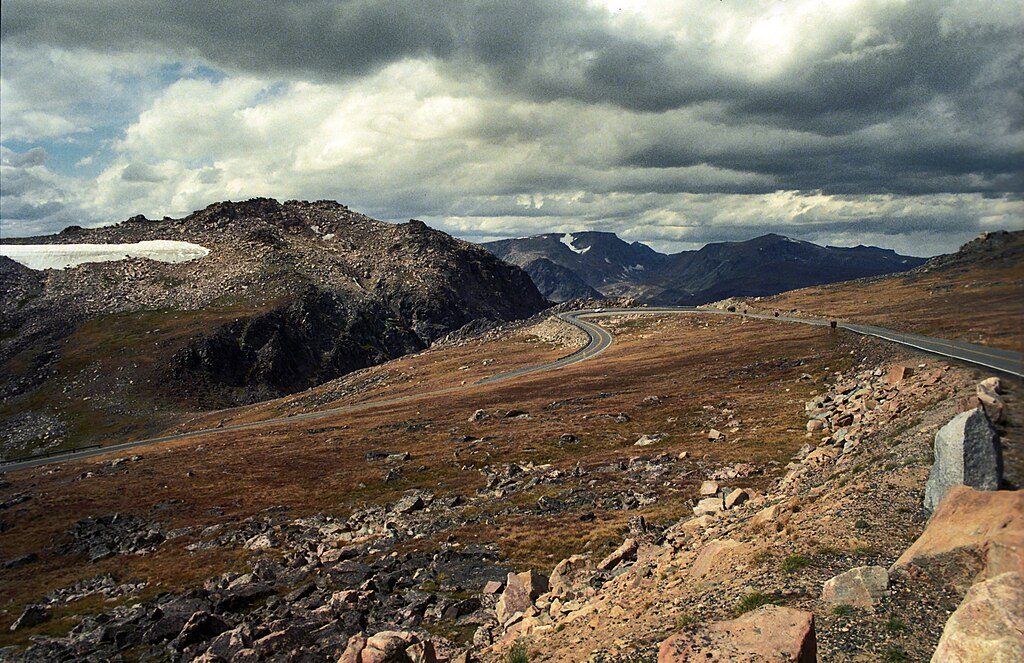
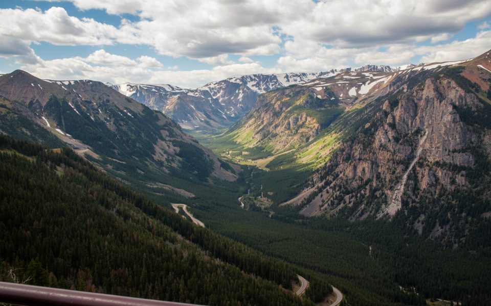
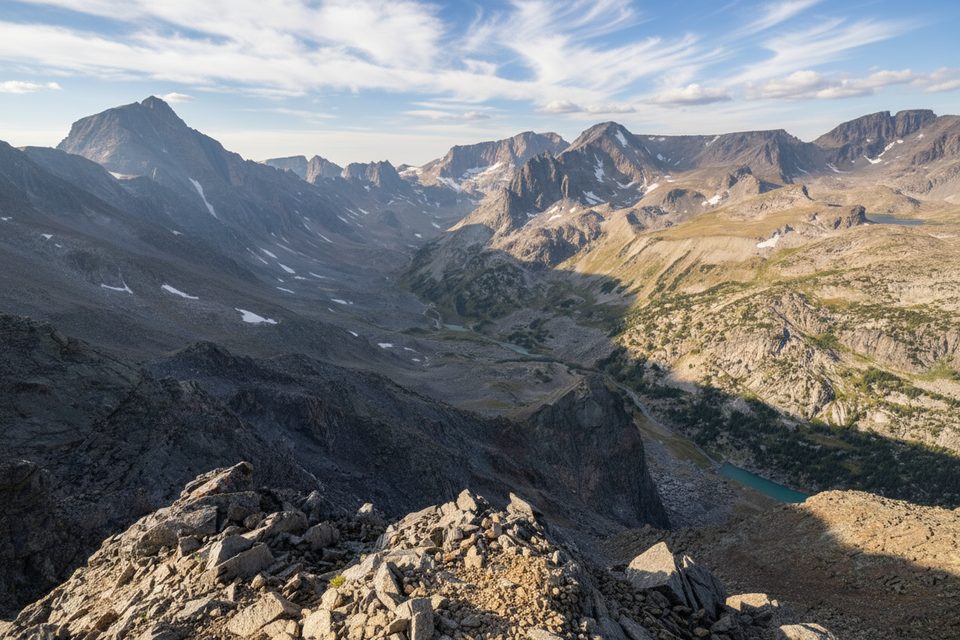
This high-elevation hike delivers big alpine scenery fast. From the Clay Butte Lookout, the standard out-and-back route to Beartooth Butte’s summit is about 3.5 miles total with roughly 1,000 feet of gain—mostly easy Class 1–2 walking on tundra ridges, with one short rocky stretch that can be kept to a hike by skirting below the boulders. Expect sweeping views over lake-studded country and major Beartooth summits.
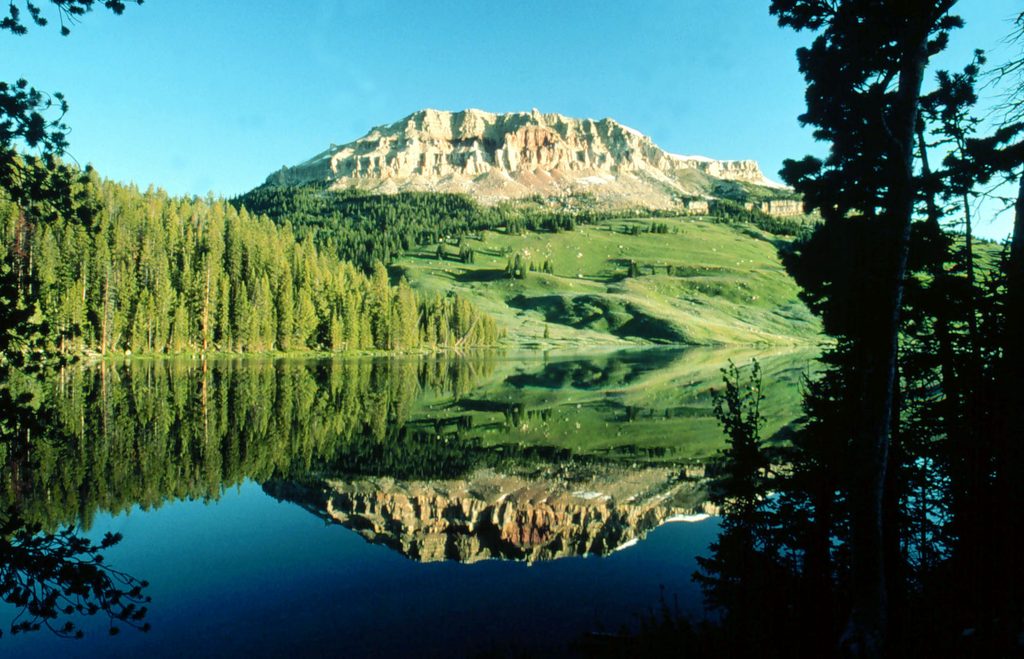
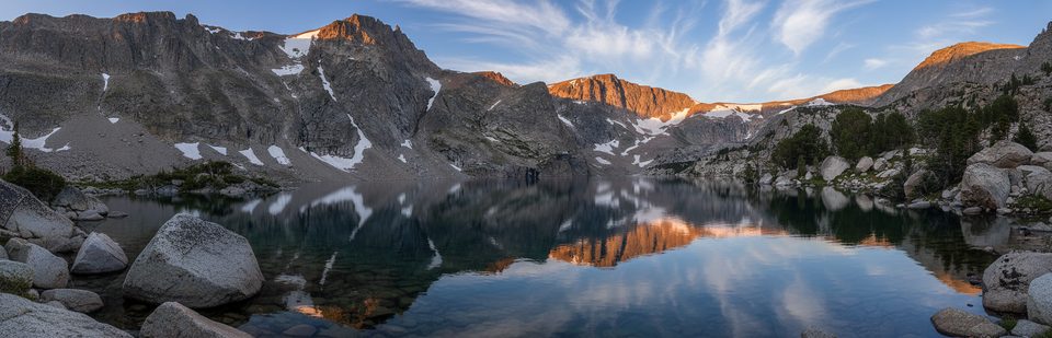
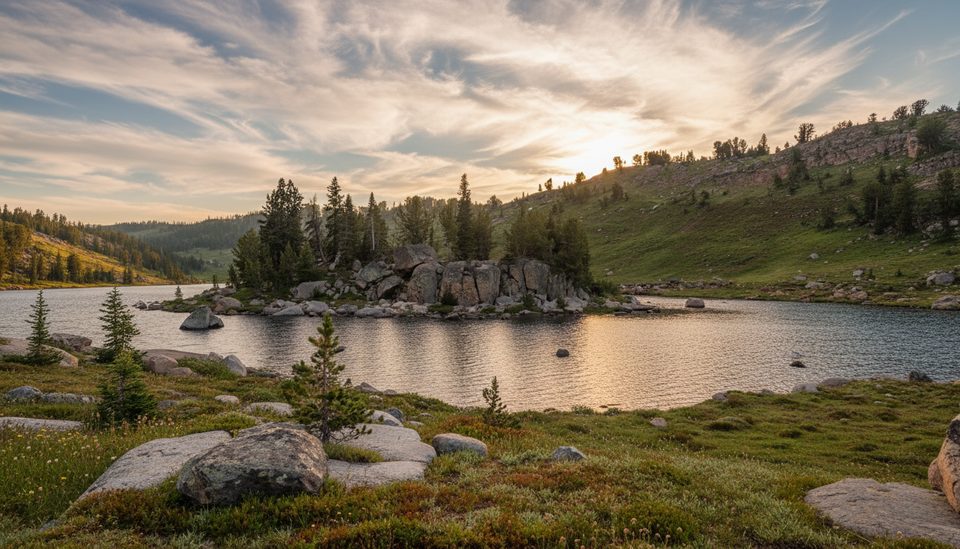
Beartooth Butte stands out: unlike the granite-and-gneiss peaks around it, the butte is mostly Paleozoic sedimentary rock—layered, ochre beds that reflect beautifully in Beartooth Lake’s inlets. The ridge is classic Beartooth tundra with summer wildflowers, and the summit panorama takes in big names on the Montana skyline. Linking into the High Lakes area reveals bouldery benches, clear tarns, and that “lakes everywhere” Beartooth vibe.
Mid to late summer into early fall is prime. Snow lingers at these elevations, stream crossings are friendlier as runoff fades, and the Beartooth Highway typically opens around Memorial Day and closes near early October. Afternoon storms are common—start early for calmer winds, better light on the butte and lakes, and safer margins if clouds build.
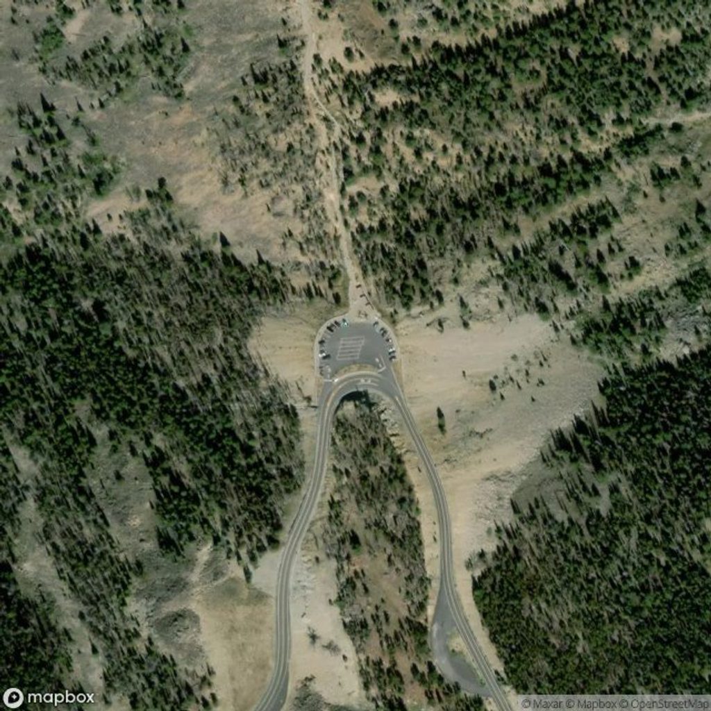
Park at Clay Butte Lookout (gravel access road) for the summit route, or at the Beartooth Lake Campground area for the lake-side connector and loops. The Beartooth Lake side can be boggy with shallow crossings; waterproof boots and poles help. Wind and weather change fast on the exposed ridges—carry layers and lightning awareness. Mosquitoes can be fierce, particularly near Beartooth Lake; bring repellent. This is bear country—carry spray and know how to use it. Pet policy for these specific segments isn’t clearly posted in the sources; check current forest regulations before bringing a dog.
Clay Butte Lookout (gravel access) for the summit route, or Beartooth Lake Campground trailhead for the connector and loop options.
Alpine weather shifts quickly and the ridge is exposed to lightning; the Beartooth Lake side is boggy with frequent shallow crossings. The highway commonly closes outside late spring–early fall; verify access.
Place
Place
Place
Place
Challenging
Challenging
Challenging
Moderate

Parkwolf Tour Guide
