Parking
Use the Island Lake Campground Trailhead off U.S. 212; the campground is first come, first served. The 8.9-mile route ends at a trail junction, so plan your return or a verified connection before starting.
Beartooth Highway, MT · WY
Nine miles of alpine lakes, granite benches and big plateau views
Overview
Beartooth High Lakes Trail #620 is an 8.9-mile point-to-point hike from Island Lake Campground Trailhead to the Green Lake Trail #619 junction. It crosses high Beartooth Plateau country through alpine lakes, granite benches and open meadows. The distance is one way; walking straight back makes it nearly 18 miles. Allow about five to six hours for the mapped line, with more time for lake stops. At roughly 9,400 to 10,000 feet, the altitude makes this feel like a bigger day than the mileage alone suggests.
 Parkwolf’s verdictIs this the hike for you?
Map & elevation
Plan your hike

The highest, rockiest slopes around here are a summer buffet for grizzly bears.
Beartooth Highway Tour Guide
Parkwolf is a GPS audio tour guide for Beartooth Highway. As you drive, it chimes in with what’s ahead: hidden gems, upcoming stops, history, geology, and wildlife, right through your car’s speakers.
See the Beartooth Highway audio tourRecorded for this trailhead
Island Lake“Island Lake's access road is ahead, leading to a shore you can enjoy without committing to a hike. The lake holds brook trout, and there's a boat ramp as well as fishing from shore.”
Plays as you drive up to this trailhead in the Parkwolf Beartooth Highway Tour Guide.
More stories near here in the app
“Fantastic app with many points of information… It’s great to just turn on while you’re driving and it gives you an audio tour of the national Park. We love it!!!!”


Trail guide
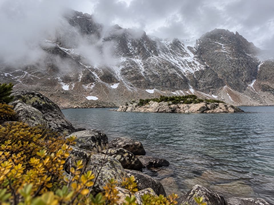
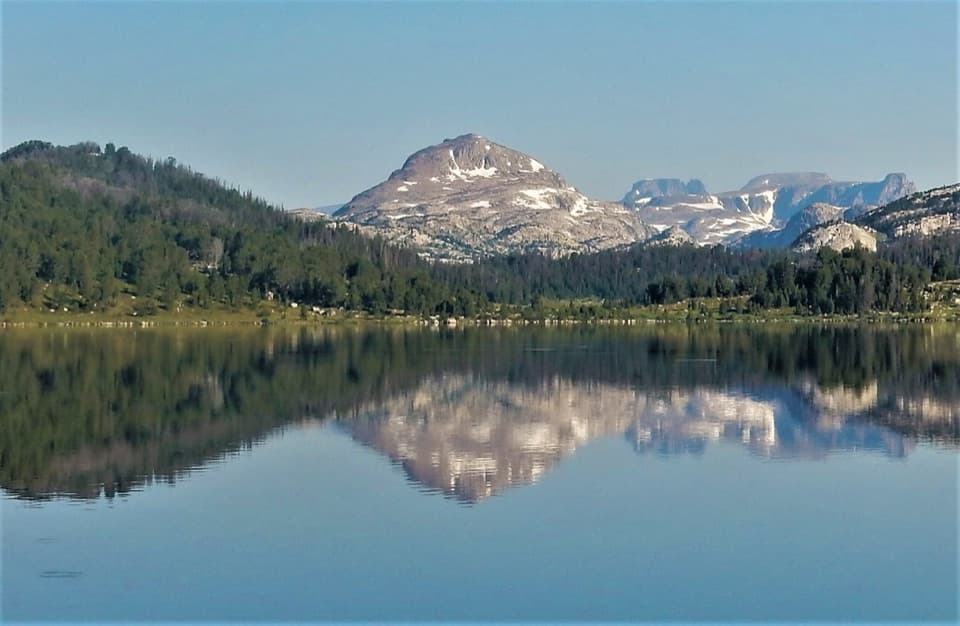
The trail leaves the west end of Island Lake and follows its shore before reaching Night Lake early in the walk. The lakes and the rocky skyline are the payoff from the start. Lonesome Mountain makes a strong backdrop from the Island Lake side; for a photo, keep some shoreline in the frame so the reflection and mountain read together.
Beyond Night Lake, the route continues through alpine tundra past Grayling and smaller unnamed lakes, then crosses granite benches toward the western end. It meets Green Lake Trail #619 at a remote junction. That connector is a separate route, not part of the 8.9-mile #620 line; check its map before relying on it for an exit. Beauty Lake is a nearby side trip, but it adds distance.
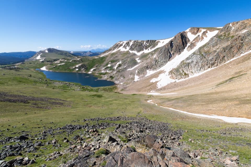
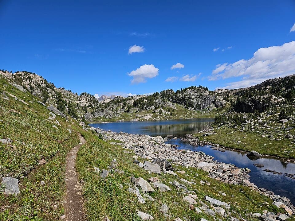
Expect a narrow native-surface trail, rocky stretches, wet meadows and small stream crossings. Those can slow you down even where the grade looks modest. The route stays above 9,000 feet, and snow can linger at high elevations into early or mid-July. Beartooth Highway access is seasonal, and weather changes quickly on the plateau. This is bear country; carry bear spray and know how to use it.
Use the Island Lake Campground Trailhead off U.S. 212. The campground is first come, first served, and dogs must be leashed while you are in the campground. The far end of #620 is a trail junction rather than a road pullout, so decide how you will return or continue before setting out. For a shorter day, Night Lake is reached near the start and makes a natural turnaround.
Wildlife
 42 sightingsGrizzly BearMost seen around 7 AMSighting map
 22 sightingsGray WolfMost seen around 6 AMSighting map
 49 sightingsBisonMost seen around 6 AMSighting map
 122 sightingsMooseMost seen around 6 AMSighting map
 260 sightingsMountain GoatMost seen around 7 AMSighting map
 16 sightingsBighorn SheepMost seen around 7 PMSighting map
Sighting maps show where each species has been reported across Beartooth Highway. Wildlife moves, so no sighting is guaranteed.
Keep exploring
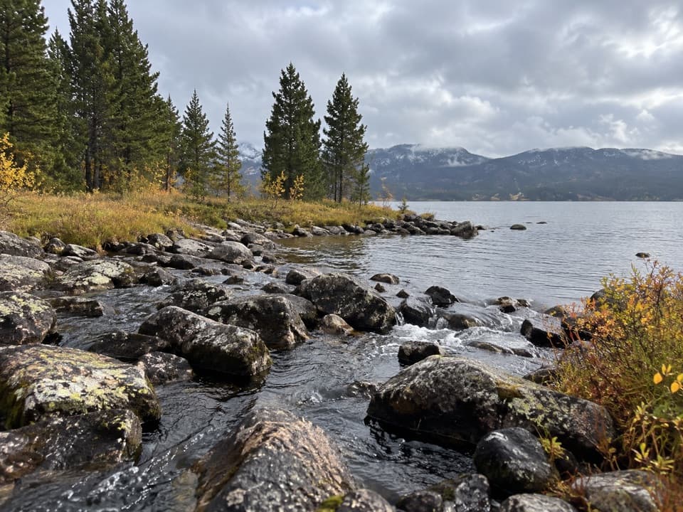 EasyIsland and Night Lakes Trail3.4 mi · 2 hr · At the trailheadTwo alpine lakes on an easy, high-altitude walk off the highway.ModerateIsland Lake to Beartooth Lake Trail5.5 mi · 3.5 hr · 0.2 mi awayFive alpine miles, ten lakes and a shuttle between trailheads.
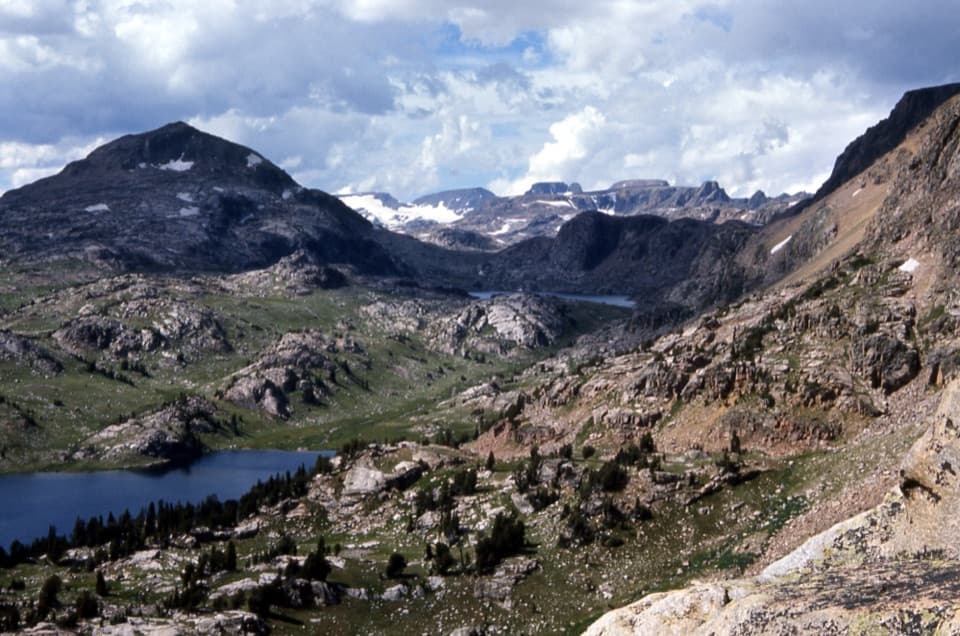 ModerateBecker and Albino Lakes Trail12.2 mi · 7 hr · 0.2 mi awayA long lake-to-lake day ending beneath Albino’s granite cliffs.
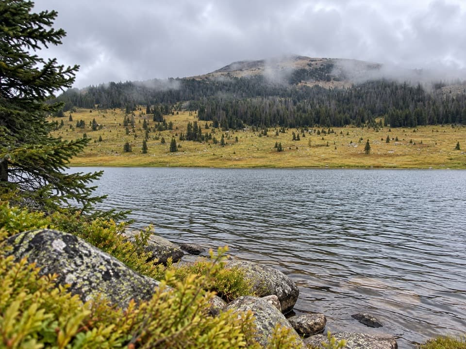 ModerateHauser, Stockade and Losekamp Lakes Trail6.7 mi · 3.5 hr · 2.1 mi awayThree high-country lakes make the extra walking count.
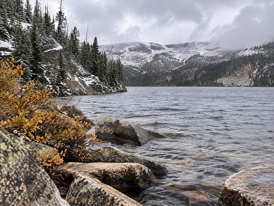 ModerateBeartooth Lakes Loop7.8 mi · 4 hr · 2.3 mi awayA six-lake loop over high ridges and wildflower meadows.
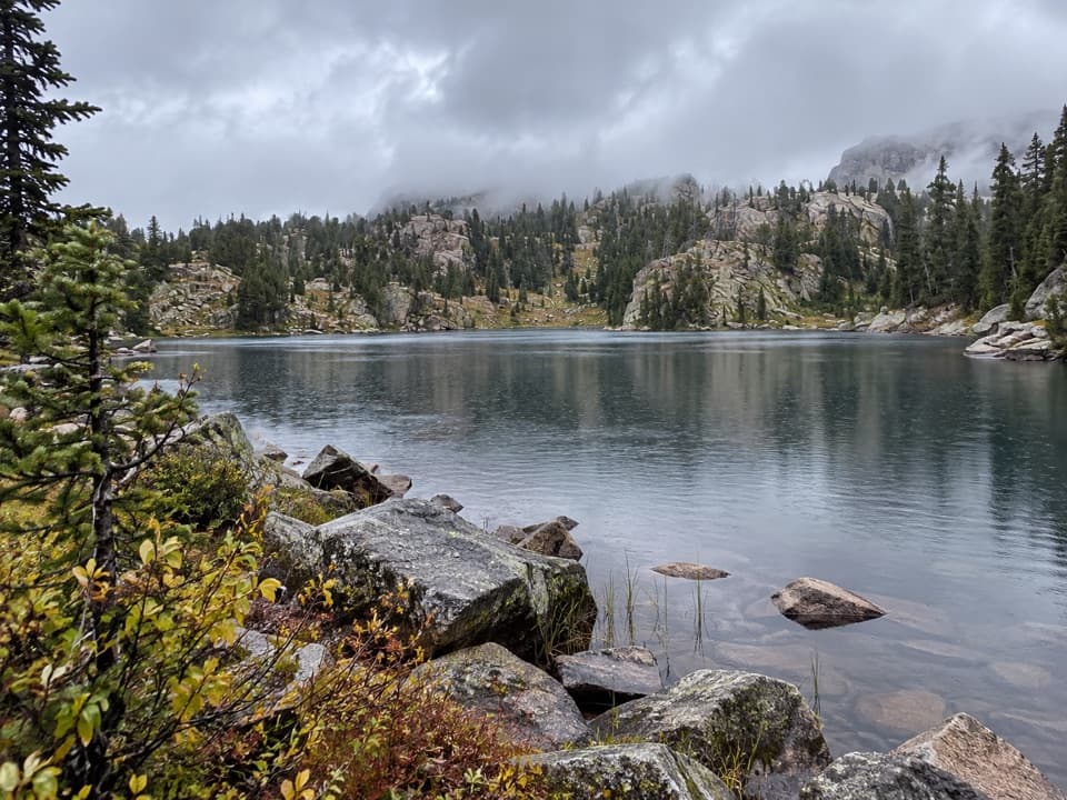 ModerateNative Lake Trail7.9 mi · 4 hr · 2.3 mi awayA high alpine lake reached after meadows and 1,300 feet of climbing.
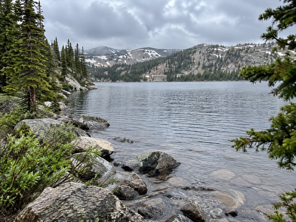 ModerateBeauty Lake Trail #6214.6 mi · 2.5 hr · 2.3 mi awayA steady high-country climb leads to a reflective lake.
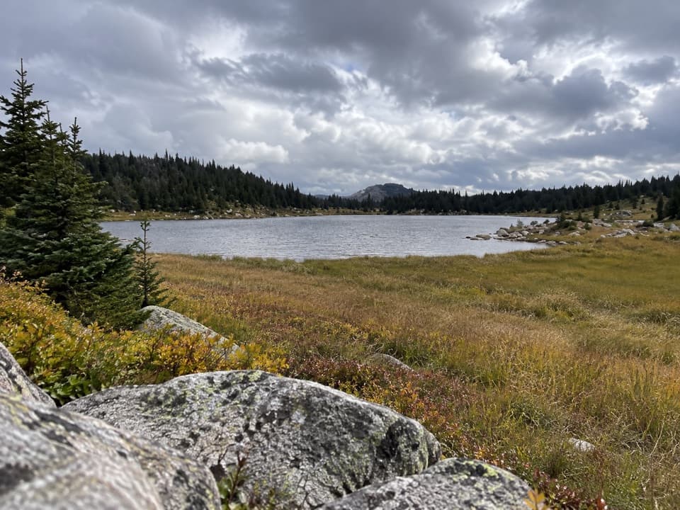 ModerateDollar Lake Trail7.5 mi · 4.5 hr · 3.1 mi awayFaint alpine tread links Top and Dollar Lakes.Sight · 0.2 mi awayIsland LakeA high-country lake with boat access and hikes to nearby lakes.Campground · 0.3 mi awayIsland Lake CampgroundA simple high-country camp for lake views and nearby hikes.
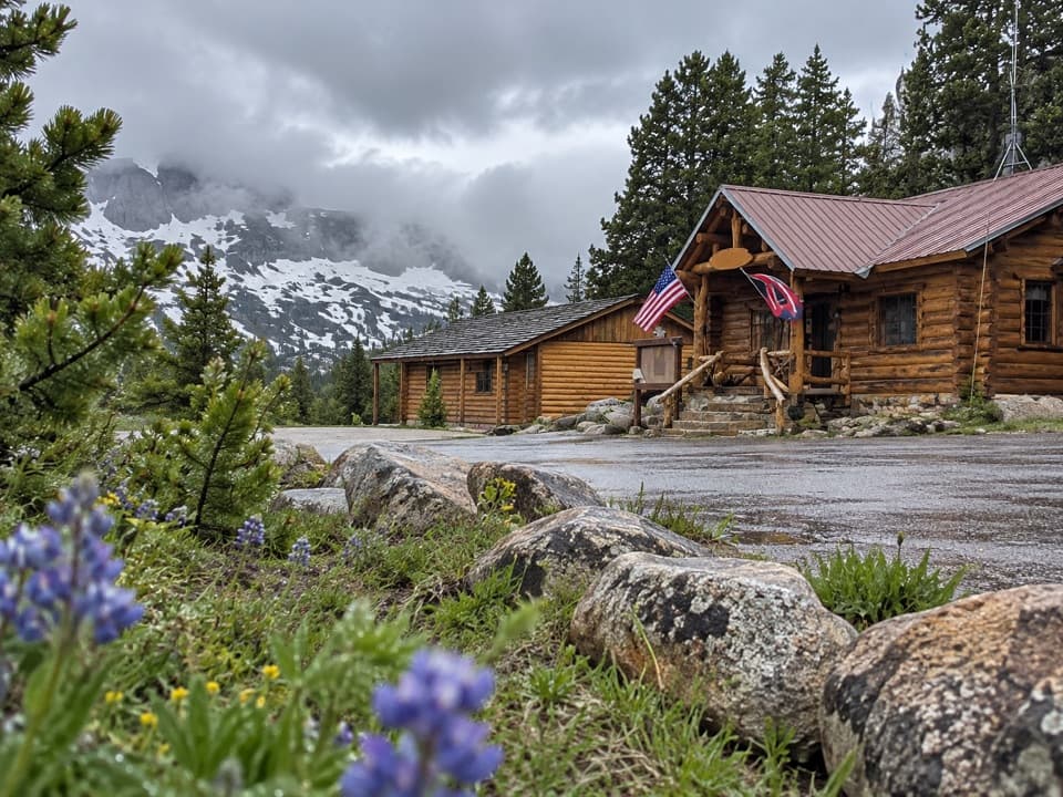 Store · 1 mi awayTop of the World Store and ResortA 9,400-foot store and lodge midway along the pass drive.
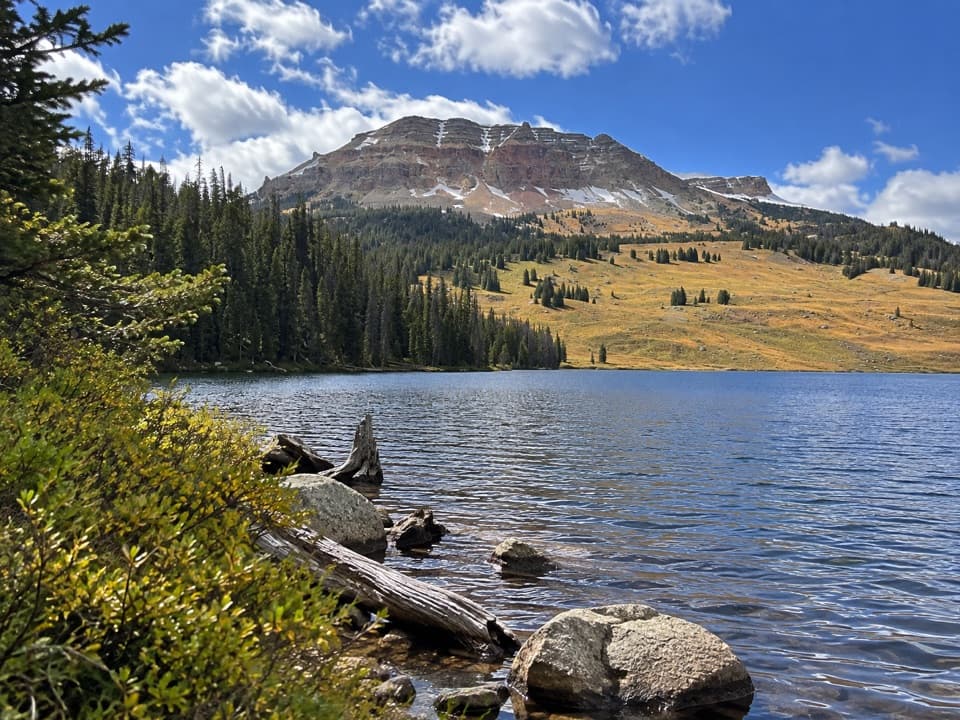 Campground · 2.4 mi awayBeartooth Lake CampgroundA lakefront base for fishing, boating and nearby high-country hikes.
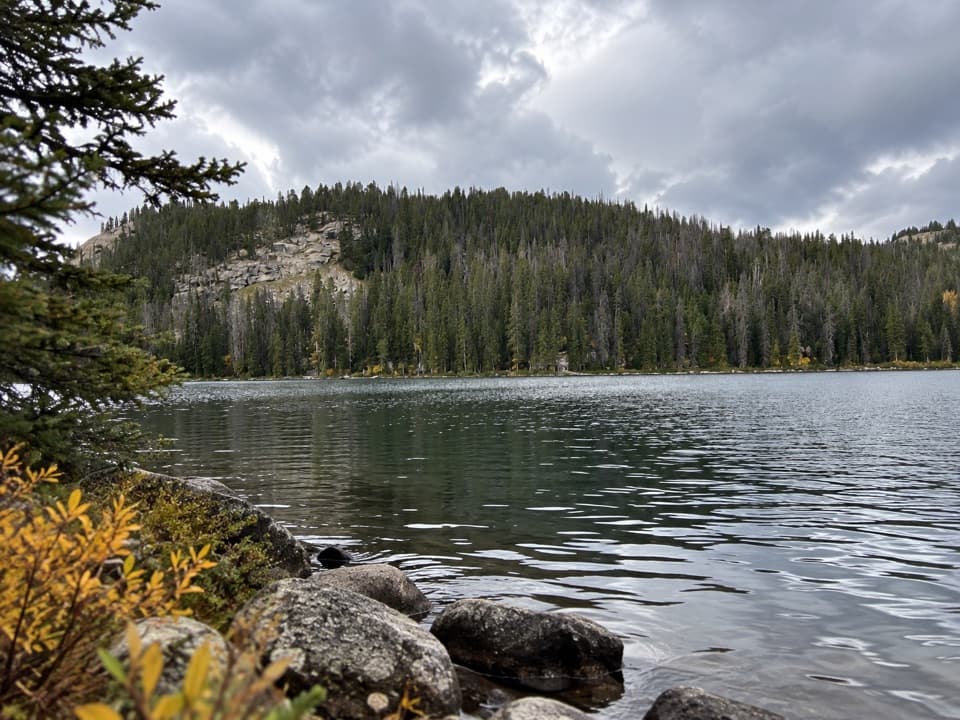 Sight · 2.6 mi awayBeartooth LakeLaunch, picnic, or take in Beartooth Butte across the lake.
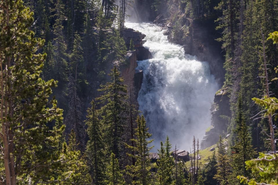 Sight · 3.3 mi awayBeartooth FallsA quick roadside look at the Beartooth Highway waterfall
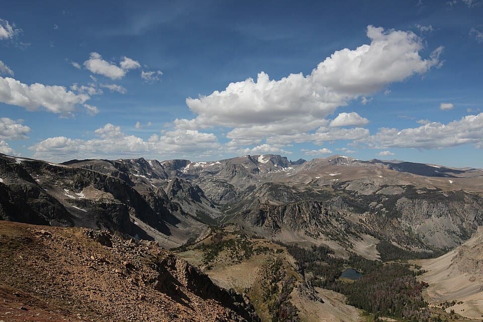 Sight · 3.7 mi awayBeartooth Pass VistaA high-alpine summit stop for open views, lingering snow and wildflowers.
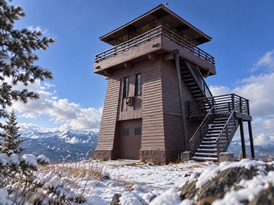 Sight · 4.3 mi awayClay Butte LookoutA historic fire tower with a 360-degree Beartooth panorama.
Parkwolf’s Beartooth Highway ranking
The audio tour guide for the drive, plus offline maps, trails, and wildlife heatmaps for when the signal drops.