Parking
Use the signed Clarks Fork Trailhead turnoff from US 212, about four miles east of Cooke City.
Beartooth Highway, MT · WY
A full-day high-country climb to Fossil Lake and back.
Overview
Map & elevation
Plan your hike

The highest, rockiest slopes around here are a summer buffet for grizzly bears.
Beartooth Highway Tour Guide
Parkwolf is a GPS audio tour guide for Beartooth Highway. As you drive, it chimes in with what’s ahead: hidden gems, upcoming stops, history, geology, and wildlife, right through your car’s speakers.
See the Beartooth Highway audio tourRecorded for this trailhead
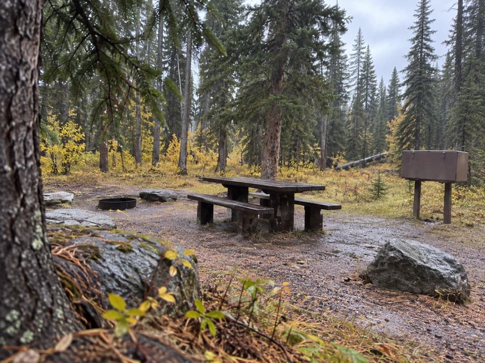
Clarks Fork Picnic Area“You're coming up on Clarks Fork Picnic Area, a small riverside stop with two picnic tables. This is a good choice for a lunch break with a little more to see than the river.”
Plays as you drive up to this trailhead in the Parkwolf Beartooth Highway Tour Guide.
More stories near here in the app
“Fantastic app with many points of information… It’s great to just turn on while you’re driving and it gives you an audio tour of the national Park. We love it!!!!”


Trail guide
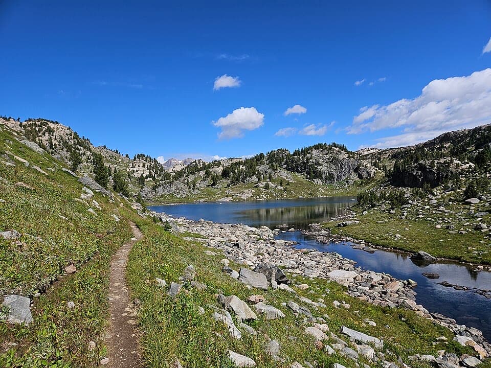
Russell Creek Trail #3 runs from Clarks Fork Trailhead to the Fossil Lake junction, about 10 miles each way. The whole out-and-back is roughly 20 miles; budget 10 to 12 hours with breaks. It’s a hard day at altitude, but the route changes from creekside woods to lakes and open alpine country. If 20 miles is too much, Russell Lake is a 12-mile round-trip turnaround about six miles in.
The lower trail starts broad and well traveled. At a signed junction, follow Russell Creek Trail rather than continuing straight; markers are sparse farther along, so pay attention at forks and stick with the clearest tread. The path follows the creek through forest, then opens around Kersey Lake before returning to trees.
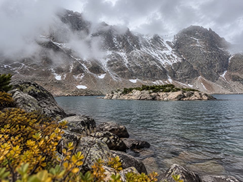
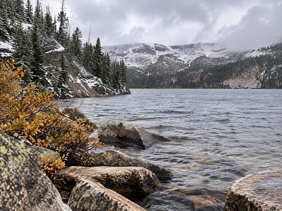
Beyond Kersey, the trail climbs through a rocky canyon, with openings above the river. A bridge and a ford are mapped on this stretch; water levels can change with the snow year, so don’t assume a crossing will look like a photo. The higher route reaches Ouzel Lake, where a granite wall rises above the water. It’s a good place to pause and take in the contrast between dark trees, pale rock and the lake.
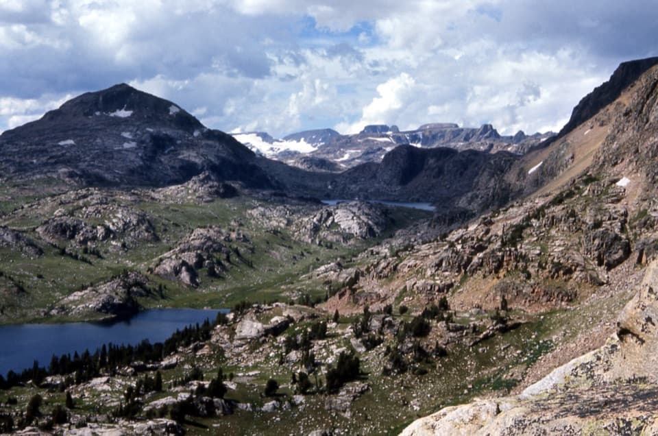
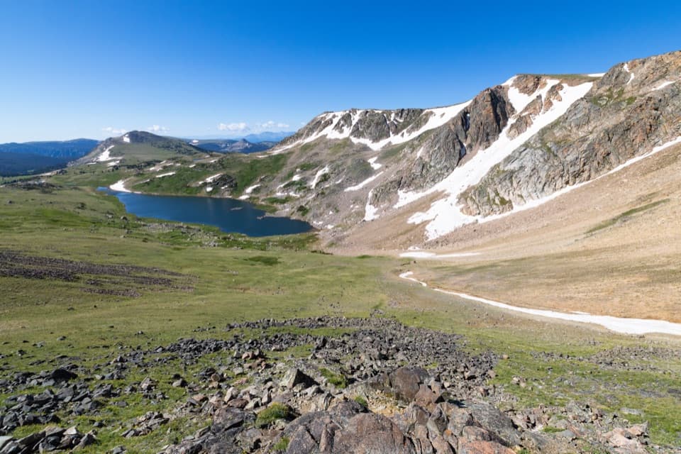
The woods give way to a broad, exposed plateau of lakes, peaks and drainages. Fossil Lake sits near the high point, around 9,750 feet. Look for the large cairn near the lake where Russell Creek Trail #3 meets East Rosebud Trail #15. For this hike, that junction is the turn; continuing east puts you onto the longer Beaten Path crossing.
Start at the signed Clarks Fork Trailhead off US 212, about four miles east of Cooke City. This is Absaroka-Beartooth Wilderness: there’s no quick exit once you’ve committed to the climb, and the open upper stretch has little shelter. Creek crossings may run high during snowmelt. The Forest Service identifies this as bear country and advises carrying bear spray. Dogs are allowed but must stay under control; the distance and crossings make this a poor fit for many dogs. If camping near Fossil Lake, follow the Forest Service no-campfire restriction there.
Wildlife
 42 sightingsGrizzly BearMost seen around 7 AMSighting map
 22 sightingsGray WolfMost seen around 6 AMSighting map
 49 sightingsBisonMost seen around 6 AMSighting map
 122 sightingsMooseMost seen around 6 AMSighting map
 260 sightingsMountain GoatMost seen around 7 AMSighting map
 16 sightingsBighorn SheepMost seen around 7 PMSighting map
Sighting maps show where each species has been reported across Beartooth Highway. Wildlife moves, so no sighting is guaranteed.
Keep exploring
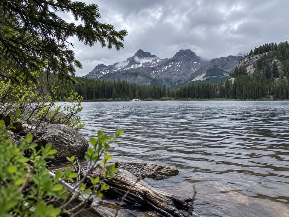 ModerateVernon Lake Trail5.4 mi · 2.8 hr · At the trailheadA lake payoff after one muddy, buggy mile at Clarks Fork.
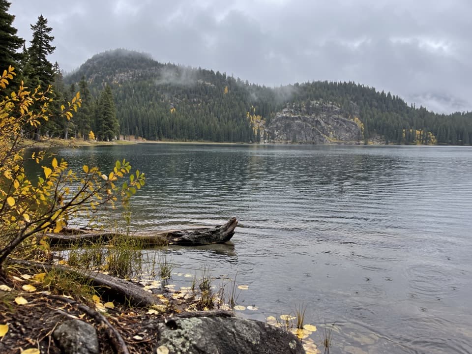 ModerateFox Lake Trail9 mi · 5 hr · At the trailheadA high-country trout lake rewards the long walk from the highway.
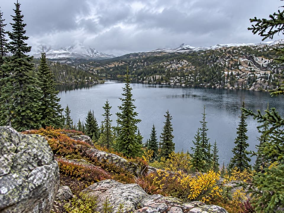 ModerateRock Island Lake Trail6.8 mi · 3.5 hr · At the trailheadMarsh bridges, a Kersey overlook, and a high alpine lake.
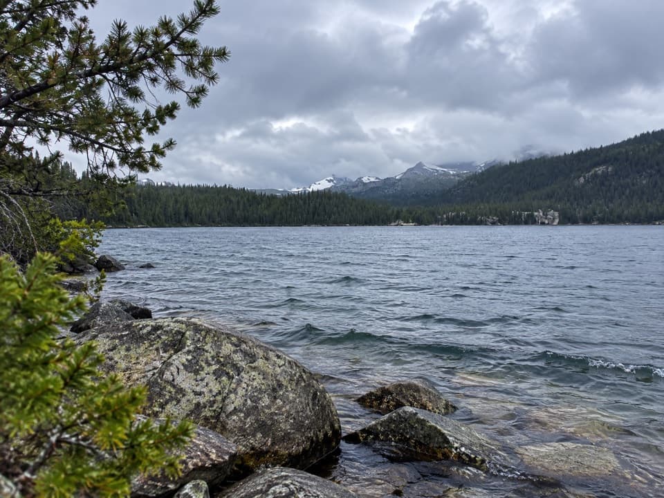 ModerateWidewater Lake Trail11.6 mi · 6.5 hr · At the trailheadA long walk at 8,000 feet to a large trout lake.
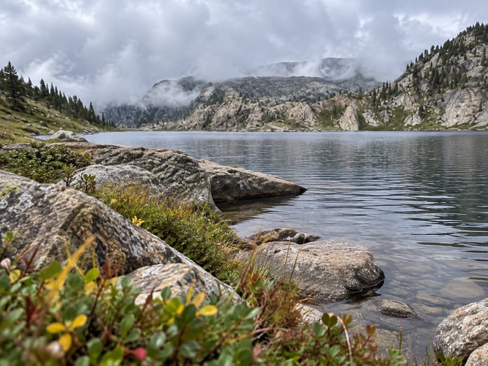 ChallengingMariane Lake Trail16.6 mi · 9.5 hr · At the trailheadLong, high backcountry miles lead to a rocky alpine lake.
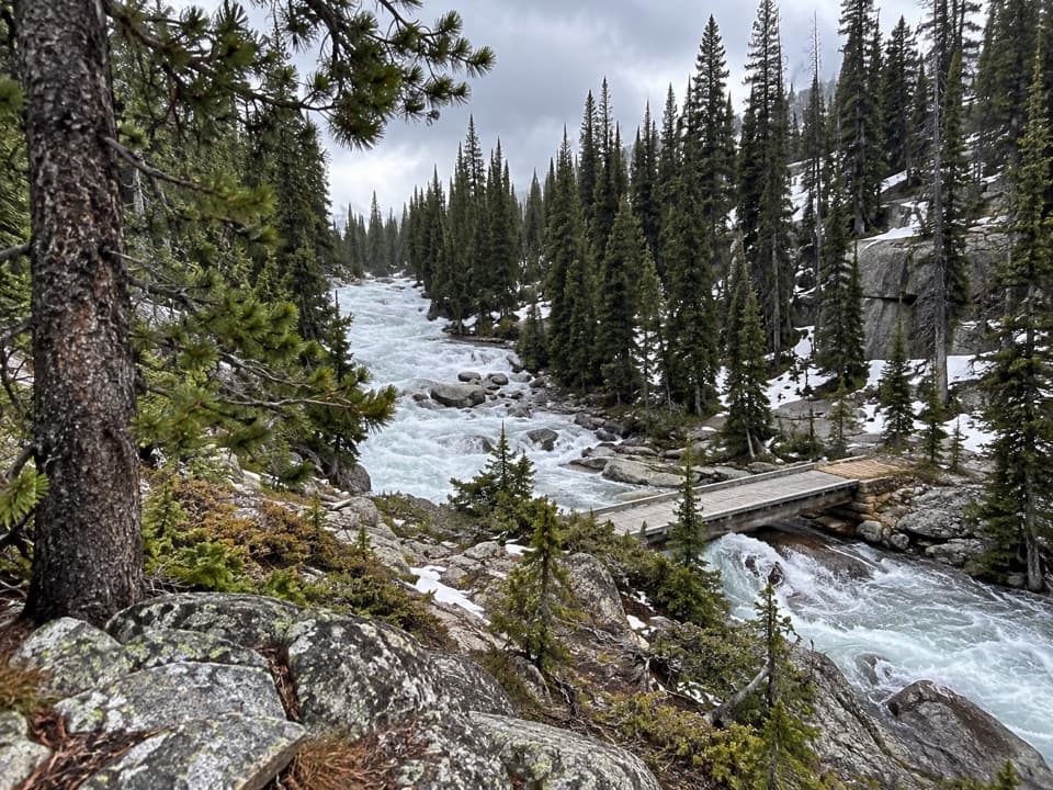 ChallengingOtter Lake Trail18 mi · 11.5 hr · At the trailheadA long high country walk to a remote trout lake.
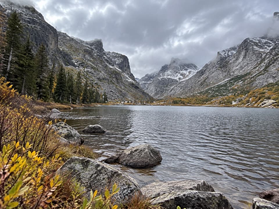 EasyKersey Lake Trail3 mi · 1.3 hr · 0.1 mi awayAn easy three-mile return to a trout lake on the Beaten Path
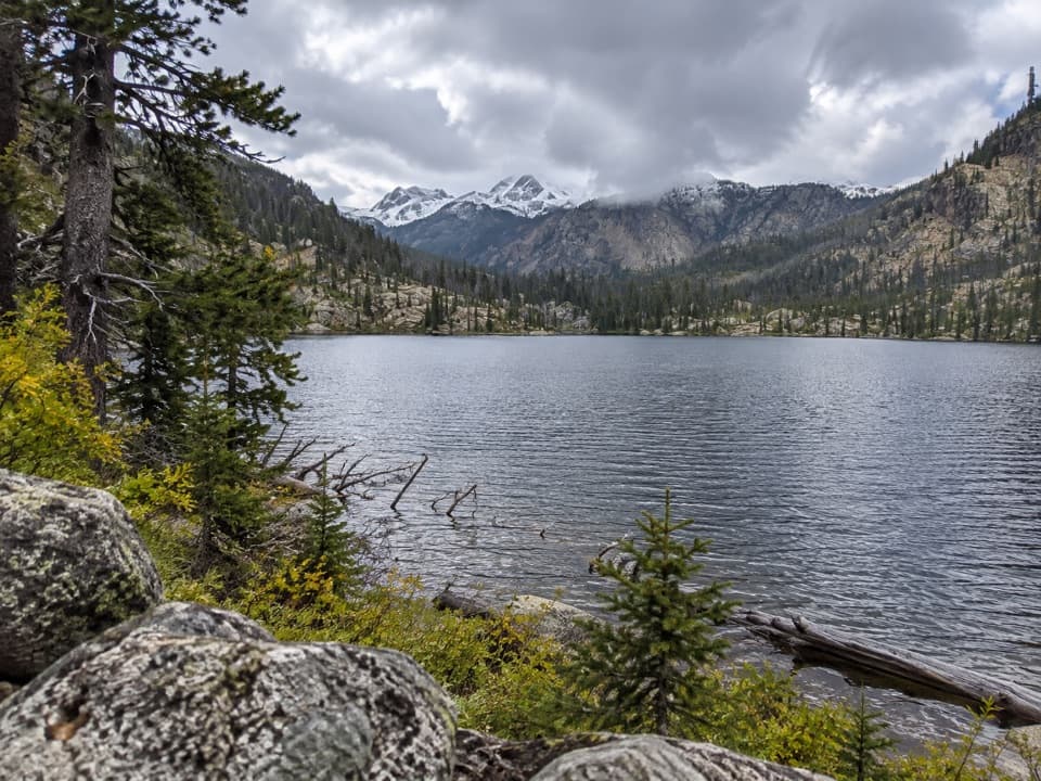 ModerateBroadwater River to Curl Lake Trail6.5 mi · 4.5 hr · 0.1 mi awayMarshy meadows and a rough final approach to Curl Lake
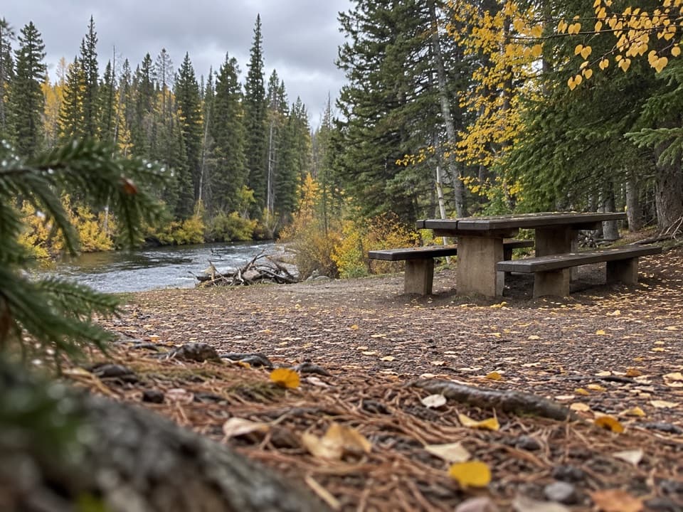 Picnic area · At the trailheadClarks Fork Picnic AreaA riverside pause with a little highway and flume history.
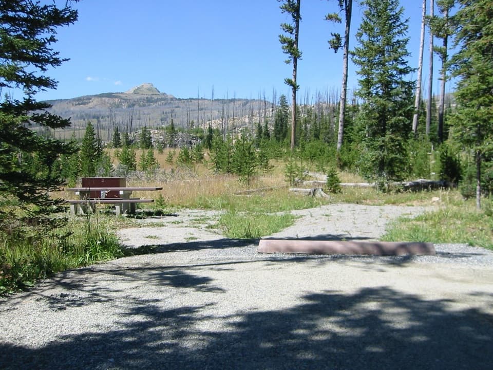 Campground · 1.4 mi awayColter CampgroundA hard-sided-only campground two miles east of Cooke City.
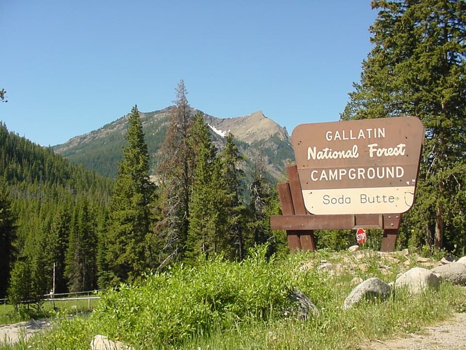 Campground · 2.3 mi awaySoda Butte CampgroundA quiet, wooded base near Cooke City and Yellowstone’s northeast entrance.
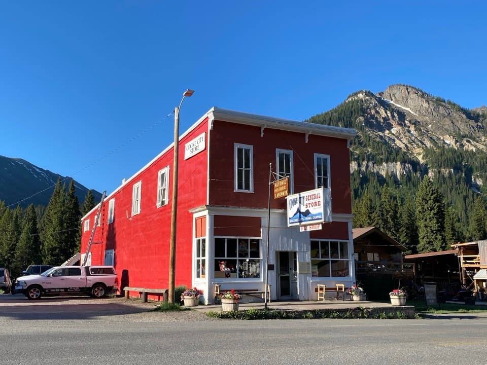 Store · 3.2 mi awayCooke City StoreA working mercantile still uses its hand-crank cash register.
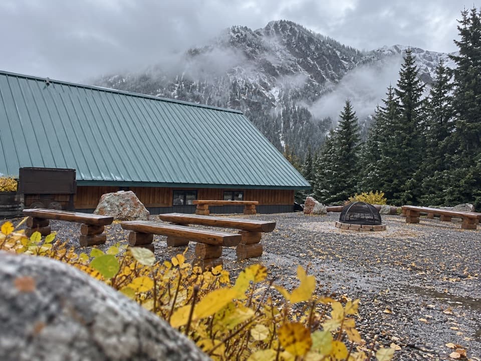 Visitor center · 3.3 mi awayCooke City Visitor Center and MuseumNine touchscreens bring Cooke City's local history to life.
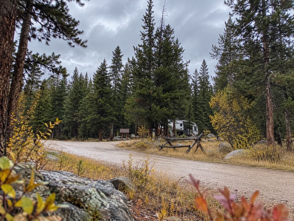 Campground · 3.4 mi awayFox Creek CampgroundSleep under conifers with Pilot and Index Peaks in view.
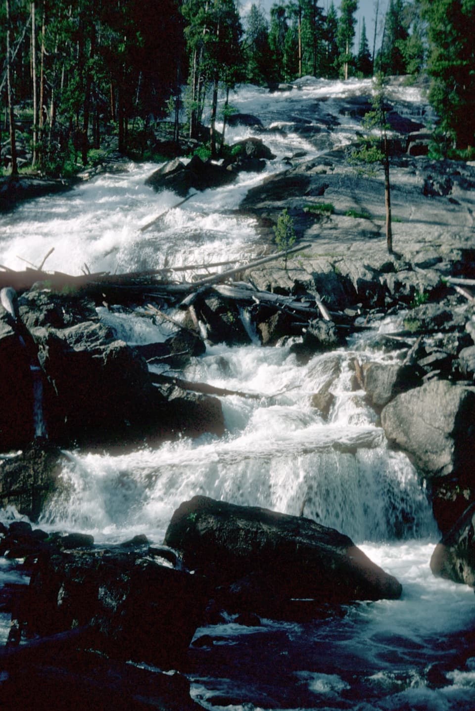 Sight · 6.9 mi awayCrazy Creek FallsA short walk reaches a broad cascade beside the Beartooth Highway.
 Campground · 7 mi awayCrazy Creek CampgroundA 16-site campground on a bluff above its namesake creek.
Parkwolf’s Beartooth Highway ranking

The audio tour guide for the drive, plus offline maps, trails, and wildlife heatmaps for when the signal drops.