
Place
Easy
A quick, rewarding dip into Clarks Fork Canyon from the Beartooth Highway side. The common day-hike is a 4.7‑mile total out‑and‑back with about 442 feet of gain, dropping steadily from the rim to the Clarks Fork Yellowstone River before meandering down‑canyon. If you want more, a popular variant to Isabella’s Rock is about 6.0 miles one way with roughly 791 feet of gain. Ambitious parties can continue far down the canyon (the corridor runs roughly 12 miles toward the Morrison Jeep Trail), but most day hikers turn around when they’ve had their fill of river scenery.
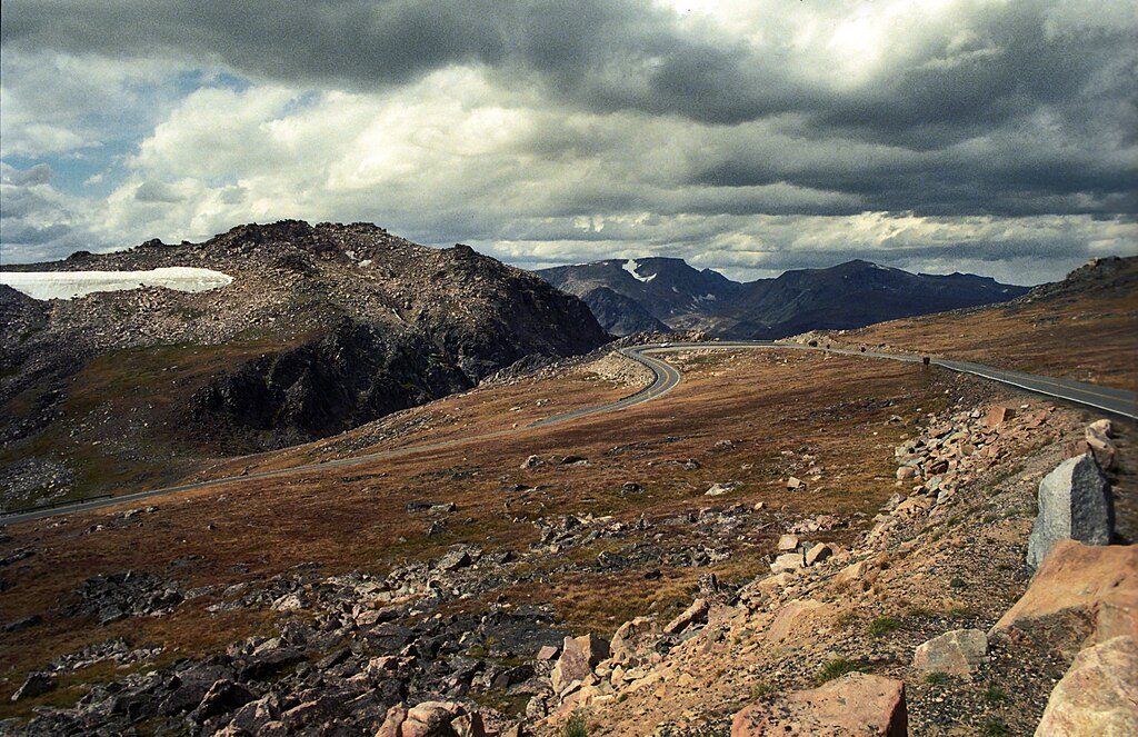
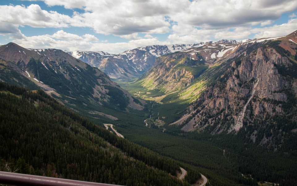
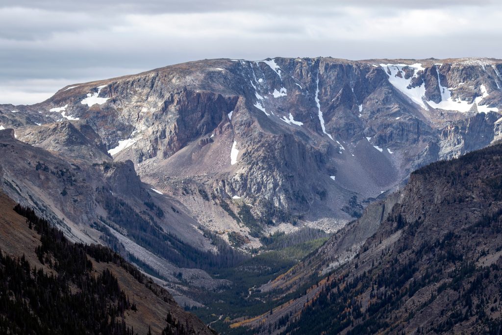
Big, open Beartooth views on the initial descent give way to a dramatic river corridor with seasonal wildflowers, aspen pockets, and the constant rumble of whitewater. A short side canyon leads to Bridal Veil Falls—an obvious highlight if you’ve got the time. Expect the character to shift between firm tread, rocky stretches, loose rubble, and sandy washes as you follow the river.
For the standard 4.7‑mile outing, the grade feels easy on the way down and moderately effortful on the return. Footing is generally straightforward but can be uneven in spots, with occasional small water crossings. Shade is limited; pack sun protection and extra water. Weather can change fast here, so treat clouds and wind seriously.
This corridor is tied to the seasonal opening of the Beartooth Highway—typically late spring through mid‑fall, weather permitting. Snow can linger into early to mid‑summer, and early winter conditions can show up by late September or October. Aim for morning starts for cooler temps, gentler light in the canyon, and the best chance to see flowers and wildlife without crowds.
You’re in grizzly country—carry bear spray and know how to use it. There’s no cell service in the canyon, so download maps before you go. Sturdy footwear pays off on the rocky and sandy sections. If you’re angling‑inclined, this river corridor is known for excellent fishing access. Want a longer day? Push farther down‑canyon or choose the Isabella’s Rock variant. Looking for a bigger backcountry flavor nearby, multi‑day hikers often link routes in the Beartooths via this corridor.
This is not a deep wilderness epic unless you commit to the miles. It’s a great sampler—big scenery, quick access, and a waterfall option—but the initial downhill means you’ll work a bit on the way out. Also note that while the canyon route has a motorized history, flood damage makes certain driving sections treacherous; on foot, it’s still a solid hike.
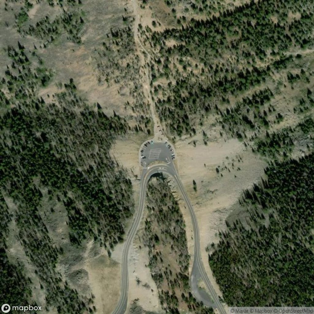
Park at the west trailhead off the Beartooth Highway; recent hikers report easy parking and bathrooms, but don’t count on facilities being available.
Grizzly bear habitat—carry bear spray. No cell service. Rocky, sandy sections with occasional small water crossings. Weather shifts quickly; storms can roll in. Flood‑damaged canyon switchbacks are unsafe for vehicles, but hiking remains viable.
Place
Place
Place
Place
Challenging
Challenging
Challenging
Moderate

Parkwolf Tour Guide
