
Place
Moderate
This is a high‑alpine outing above Cooke City that follows an old mining road to Daisy Pass. Expect an out‑and‑back of about 11.5 miles total with roughly 2,342 feet of climbing. It’s generally considered moderately challenging—but what makes or breaks the day isn’t the grade so much as the surface and exposure.
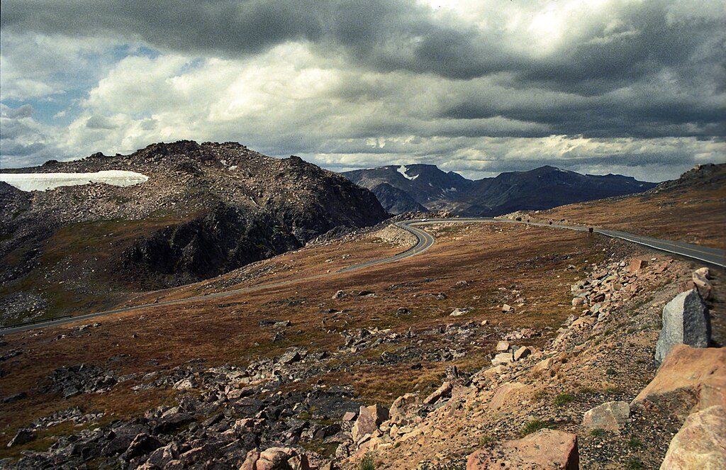
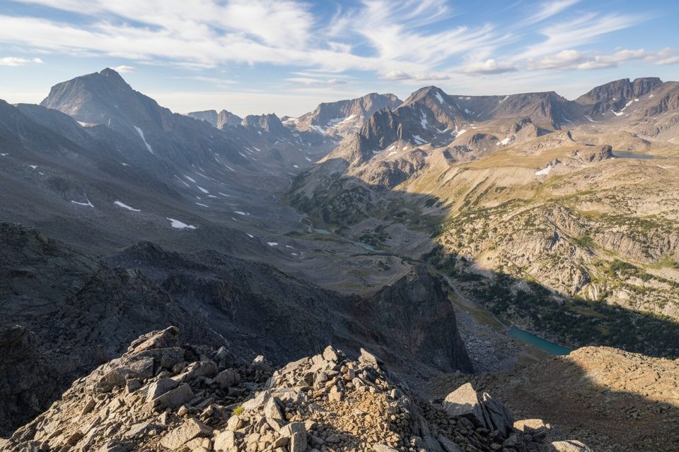
Wide‑open Beartooth scenery steals the show—think sweeping ridgelines and classic silhouettes like Pilot and Index peaks, with big country stretching toward the Granite Peak massif. Mining history is everywhere: derelict equipment, old foundations, and cabin remnants tell the story of the New World Mining District. Even late in summer, snowbanks can linger right at the pass, sometimes big enough for a playful glissade.
This is more road than singletrack. You’ll likely share it with off‑highway vehicles in summer, and the tread is rocky, rutted, and dusty when dry. As a hike, the steady grade at elevation feels honest but manageable; the moderate rating fits, though the exposure and loose roadbed can make it feel tougher than the stats suggest. Dogs are allowed but must be leashed.
Snow hangs around up high. Early summer often brings drifts that can block the approach; a June visit can still feel wintry. The reliable window is generally summer into fall, with mid‑ to late‑summer offering the cleanest conditions. In winter, the corridor doubles as a snowshoe route when snow closes the road to vehicles.
Approach from the Beartooth Highway near Cooke City. Many hikers prefer coming in via Lulu Pass Road and then onto Daisy Pass Road; the lower approach from the bottom can be rough. High‑clearance is the rule if you plan to drive any portion—passenger cars routinely turn around. In early season you may hit snow well before the usual start and simply park lower and walk the road. Mileage varies by how far you can drive; some measure a shorter 7.6‑mile day if starting closer to the pass, but the commonly walked version is the 11.5‑mile out‑and‑back.
You’re walking on some of the oldest rocks on Earth—ancient Precambrian granite and metamorphic bedrock. The mining relics around you tie to mineral deposits formed by later hydrothermal activity in the region’s carbonate rocks.
Reach the area via the Beartooth Highway near Cooke City; many approach on Lulu Pass Road, then turn onto Daisy Pass Road. Park where the road becomes too rough or snow‑blocked and start hiking from there; high‑clearance vehicles are recommended if attempting to drive closer.
Expect OHV traffic, rough unpaved road conditions, lingering snowfields near the pass, and exposed high‑elevation weather. Vehicle access is typically impassable in winter, and mining ruins may have unstable structures and hidden debris.
Place
Place
Place
Place
Challenging
Challenging
Challenging
Moderate

Parkwolf Tour Guide
