
Place
Easy
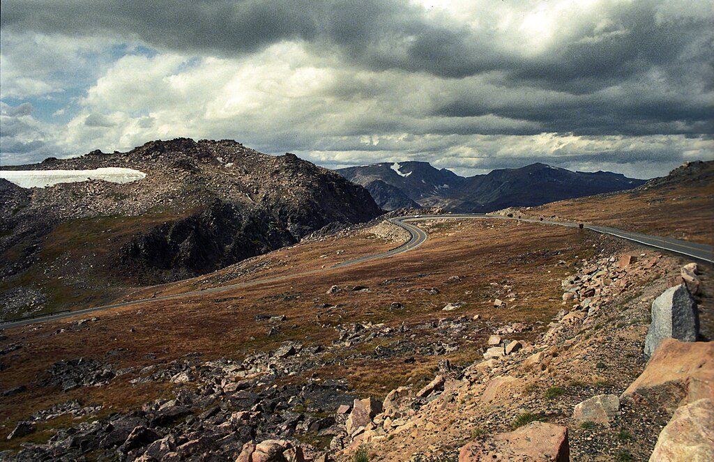
This is more scenic stop than full-on hike, and that’s the charm. From roadside pullouts on the Beartooth Highway, a very short dirt path drops to the historic Lake Creek Bridge and a nearby footbridge for up‑close views of Lake Creek Falls in a tight granite canyon. Expect a minute or two of walking, then linger as long as you like.
Lake Creek funnels into a chute-like drop above the old bridge, then spreads into a long boulder cascade below—classic Beartooth Plateau granite and roaring whitewater when flows are up. The stone‑abutment bridge (built on the original 1930s route and now pedestrian) makes a natural viewing deck and a photogenic subject in its own right. Look and listen for pikas and marmots in the rocks, and wildflowers in season.
Watch for the long, high US‑212 bridge over Lake Creek a little east of the WY‑296 (Chief Joseph Scenic Byway) junction and just past the Lily Lake Road turnoff. There are pullouts at both ends of the highway bridge; short paths on either side reach the old bridge/footbridge viewpoints. Because it’s unsigned, it’s easy to drive past—if you see the big bridge, you’re there.
Come when the Beartooth Highway is open—generally from late May (around Memorial Day weekend) into mid‑October, conditions permitting. Early summer snowmelt delivers the biggest, splashiest flow; late summer and fall usually mean drier rocks and calmer footing. Morning or late‑day light is kind to the canyon’s textures, and crowds are typically light because most people only stop briefly or miss it altogether.
High reward for minimal effort: a handsome chute-and-cascade framed by a historic bridge, five minutes off the road. If you’re collecting short, scenic Beartooth stops, this one deserves a pull‑over.
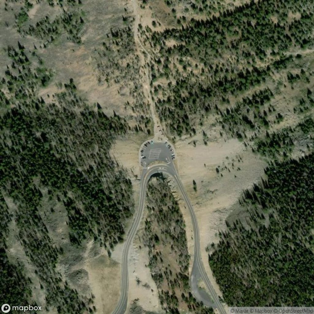
Small highway pullouts at both ends of the US‑212 bridge over Lake Creek; use the pullout on the falls side or the larger one just beyond the bridge and walk the short dirt path to the old bridge/footbridge.
No pedestrian walkway on the highway bridge; fast traffic. Boulders near the creek are slick, and early-season flows are swift—keep back from the edge.
Place
Place
Place
Place
Challenging
Challenging
Challenging
Moderate

Parkwolf Tour Guide
