
Place
Moderate
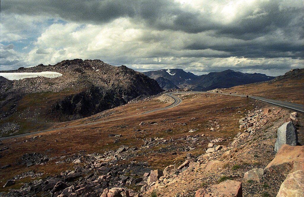
This high‑plateau ramble starts from the Hauser Lake Trailhead along the Beartooth Highway and quickly trades pavement for rock‑rimmed lakes and big‑sky meadows. The classic outing is a 6.4‑mile total out‑and‑back that passes Hauser Lake, reaches Losekamp Lake, and often adds a short spur to Stockade Lake. It’s rated moderate with about 849 feet of gain—note the hike begins with a descent from the highway, so you’ll finish with a climb back to the car.
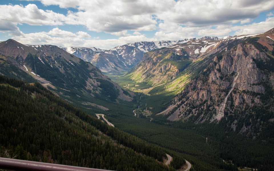
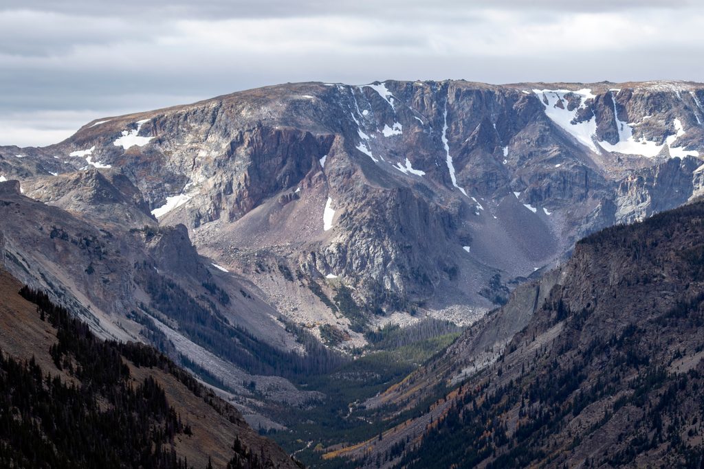
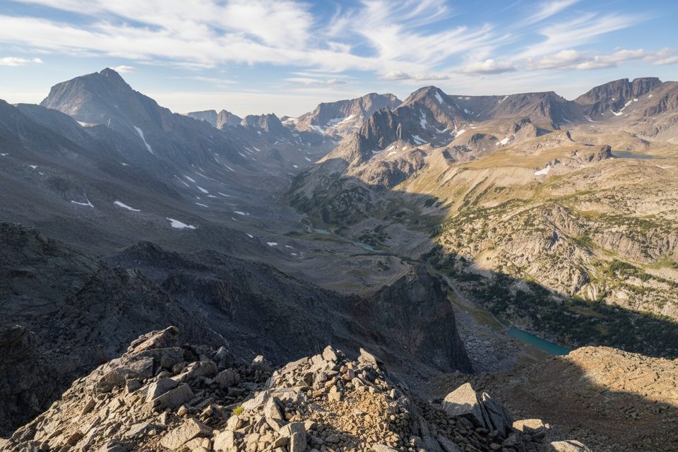
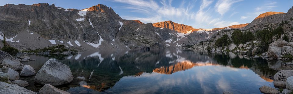
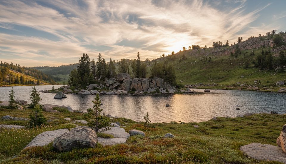
Expect a string of clear alpine lakes, granite benches, and flower‑flecked meadows. From Losekamp Lake, keep an eye out for views toward Sawtooth Mountain. If you extend beyond Losekamp, you can reach Stockade Lake for shoreline lounging and, on the longer loop, wander broad tundra‑like meadows and climb to Tibbs Butte Pass for sweeping alpine vistas. Glacial landforms—kettle lakes, rounded slabs, and moraines—tell the story of ice that sculpted this plateau. Wildlife sign is common; marmots chatter on boulders and this is firmly grizzly country.
Underfoot you’ll find mostly natural singletrack with occasional rocky steps and short boggy stretches. Early season can mean lingering snow patches, muddy sections, mosquitoes (especially July), and a couple of creek fords on the loop’s east side. Signage exists but can be sparse—bring a map or GPS. Altitude is real here; you’ll be traveling around 9,500–10,000 feet, so pace yourself and hydrate.
Aim for summer into early fall once snow has melted—June through September. Late June and July deliver wildflowers, but you may still hit wet or swampy sections, and bugs can be active. Afternoon storms roll across the plateau with little warning; start early, carry layers and sun protection, and plan to be below exposed meadows by mid‑afternoon. Photographers get soft light on the lakes in the first couple of hours after sunrise.
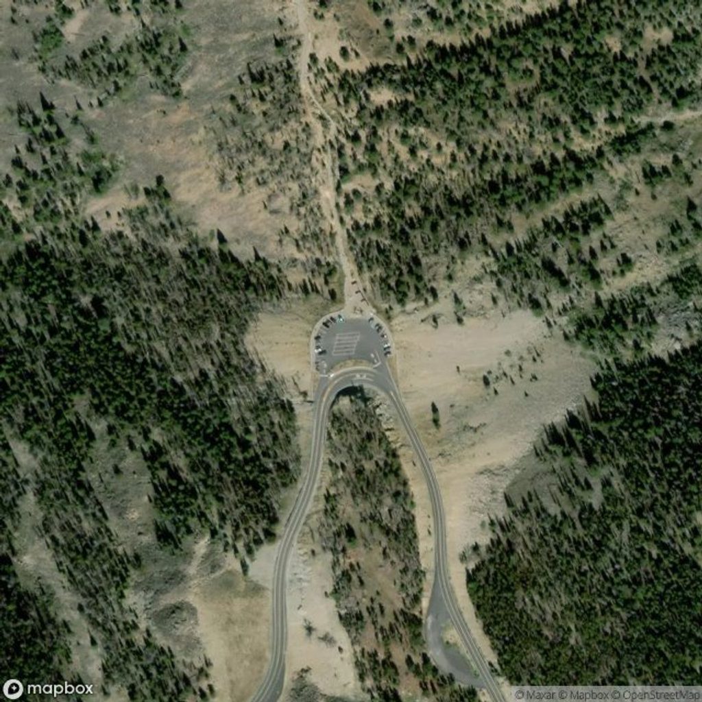
Park at the Hauser Lake Trailhead pullout on US‑212 across from Long Lake. Parking is limited, there’s no cell service, and no fees reported—arrive early on weekends. Dogs are allowed on leash. No day‑use permits are required for this hike.
Hauser Lake Trailhead pullout on the Beartooth Highway (US‑212) across from Long Lake; limited spaces, no cell service; arrive early on weekends.
High‑elevation weather shifts fast; grizzly habitat; early‑season mud, mosquitoes, and creek fords on the longer loop; finish with an uphill back to the highway.
Place
Place
Place
Place
Challenging
Challenging
Challenging
Moderate

Parkwolf Tour Guide
