
Place
Moderate
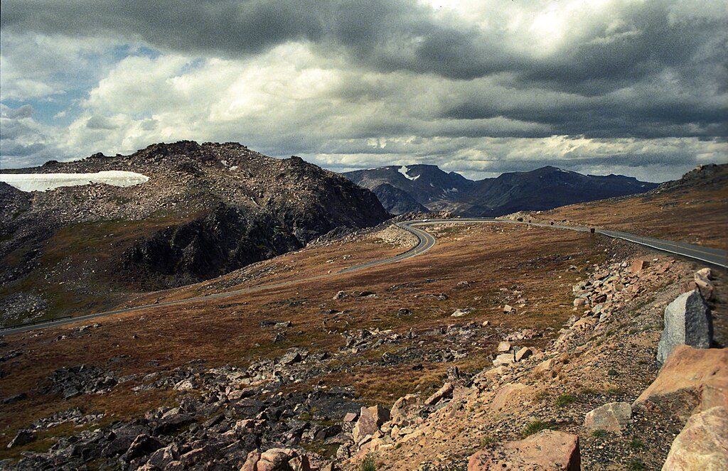
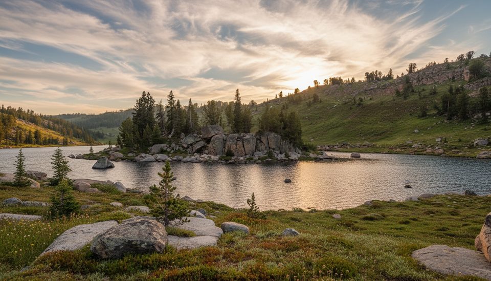
This is the mellow, high‑alpine slice of the Beartooth High Lakes corridor, starting at Island Lake and skirting clear water, meadows, and big mountain backdrops. Expect essentially flat walking for the terrain and elevation, wide‑open views, and a breezy, sun‑exposed landscape around 9,500 feet.
Most hikers do a 3.9‑mile loop (total) around Island and Night Lakes—plan about 1 hour 15 minutes at a steady pace. If you want even simpler navigation, the classic out‑and‑back to Night Lake is about 3.4 miles total with roughly ~100 feet of gain. The path follows the west shores, with an easy rock‑hop at Island Lake’s outlet and a brief connector between the lakes. Stronger hikers can continue beyond Night Lake toward a small tarn or farther along the high‑lakes corridor toward Beauty and Grayling Lakes.
Park at Island Lake Recreation Area just off US‑212 (Beartooth Highway). The turnoff is roughly 12.1 miles east of the US‑212/WY‑296 junction and about 1.4 miles east of the Top of the World store. Drive ~0.3 miles to the lot; the trail starts opposite the parking area, left of the boat ramp. Parking coordinates: 44.94291, -109.53896.
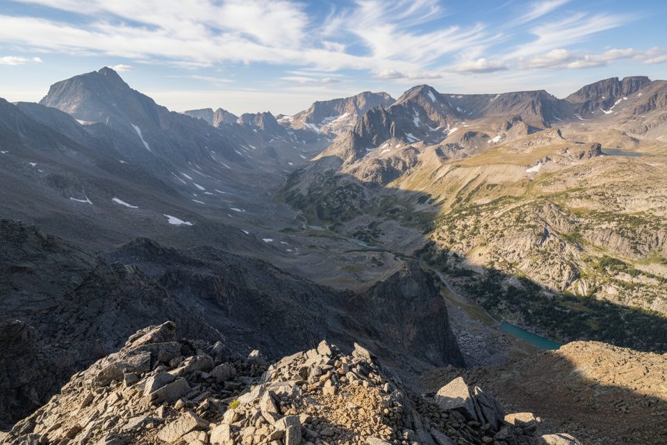
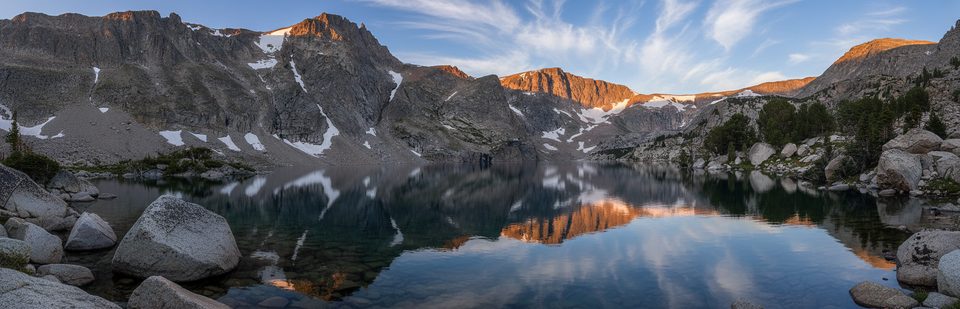
Lakes are the headliner—Island and Night—framed by open subalpine meadows and seasonal wildflowers, with a big‑sky feel and a dramatic skyline that includes Lonesome Mountain to the NNW. It’s popular for birding, fishing, and easy lakeside exploring. The terrain is classic Beartooth high country: bedrock flats, occasional boulders, and sections where the tread briefly fades but is obvious again within a few steps.
Go May–October, when the Beartooth Highway is typically open and snow has retreated. Mornings and late afternoons bring softer light and fewer people; midday can feel windy and exposed. Even in summer, alpine weather can flip quickly—bring layers, sun protection, and a wind shell.
You’ll likely rock‑hop the Island Lake outlet; early season or after storms, expect splashes or wet feet. This is bear country—carry spray and keep food sealed. Dogs are allowed but must stay leashed. If you’re loving it and have gas in the tank, push past Night Lake toward Beauty Lake for a longer day without committing to big climbs.
Island Lake Recreation Area lot off US‑212; trail begins opposite the lot, left of the boat ramp (44.94291, -109.53896).
Alpine exposure and fast‑changing weather; simple outlet rock‑hop can be wet early season; active bear country—carry spray; highway access is seasonal.
Place
Place
Place
Place
Challenging
Challenging
Challenging
Moderate

Parkwolf Tour Guide
