
Place · 8.1 mi away
Moderate
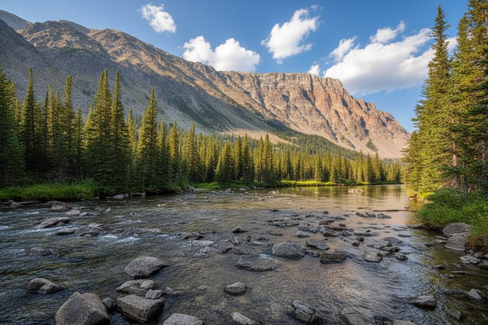
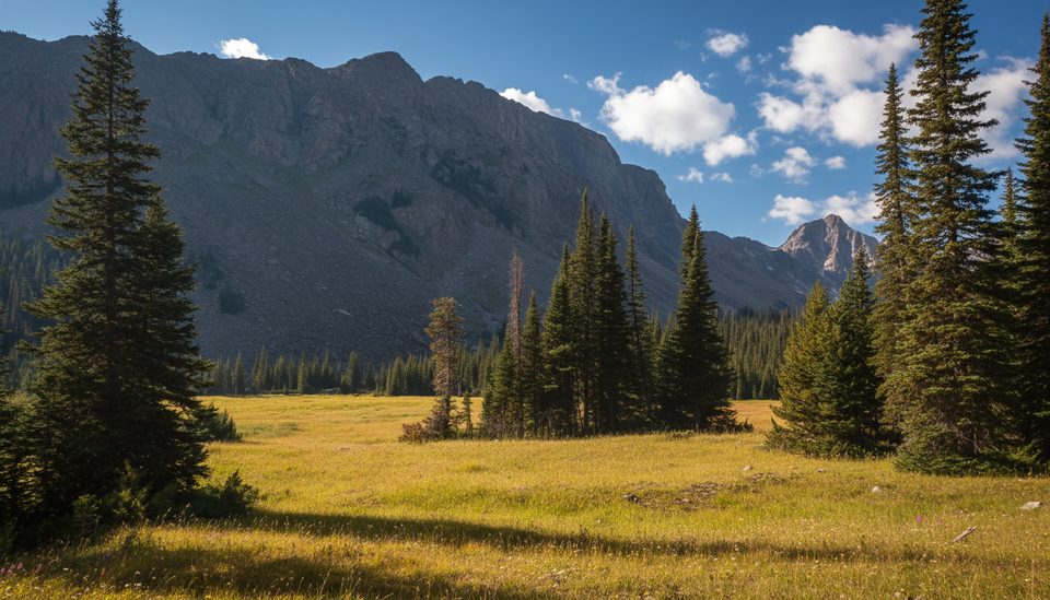
This Absaroka–Beartooth Wilderness classic eases you from shady forest and a lively creek to broad, flower‑spotted meadows with mountain walls on all sides. As a day hike, most people turn around at Quinnebaugh Meadows for roughly 9.0 miles total out‑and‑back; ambitious hikers can add Lake Mary or push toward Sundance Lake or even the pass.
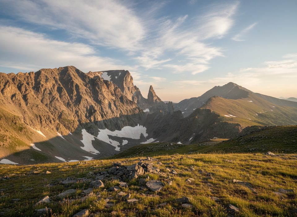
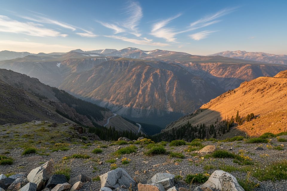
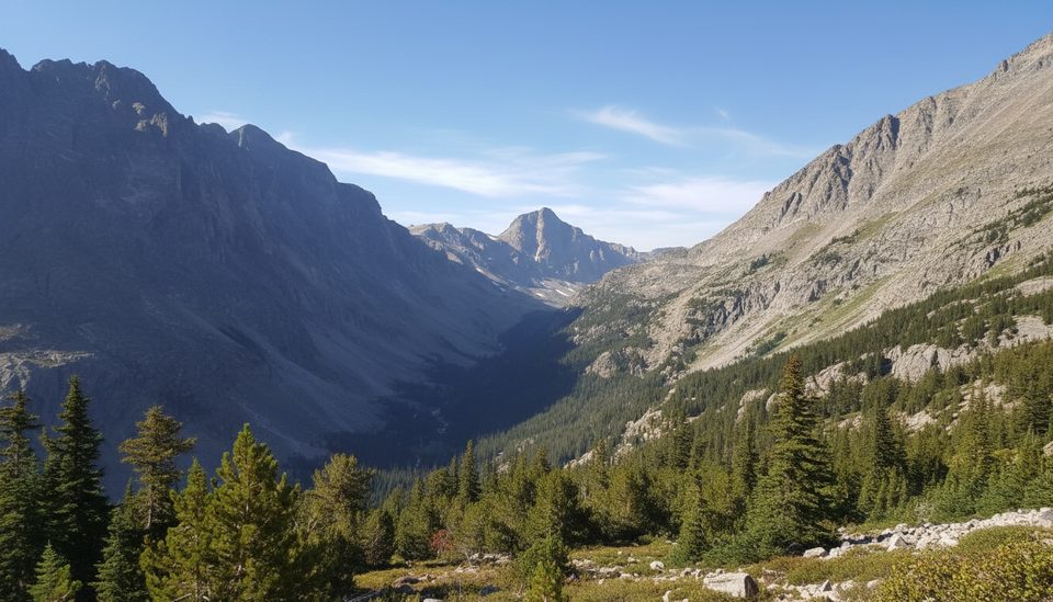
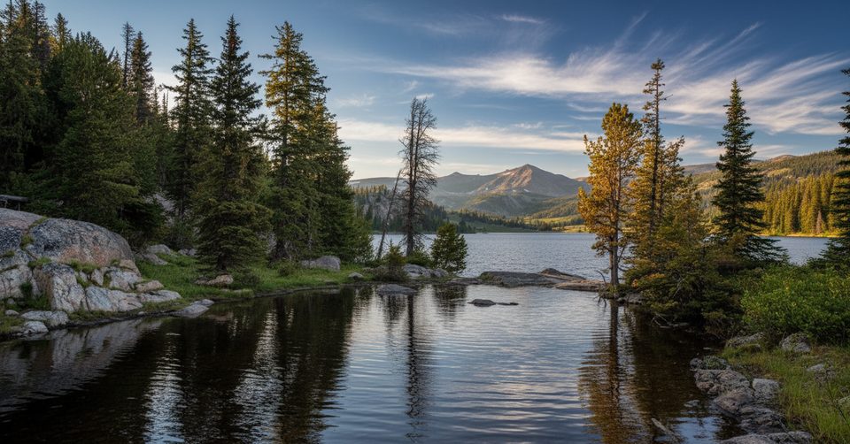
Expect a greatest‑hits mix: rumbling cascades, spruce–fir–pine forest, and a clear creek that flips between calm pools and frothy whitewater. The meadows open to long views toward Medicine Mountain, Castle Mountain, and Sundance Mountain. Look for glacial polish on bedrock and broad U‑shaped canyon walls—textbook Beartooth icework in a range famed for preserving an immense sweep of Earth history.
This drainage sees regular wildlife activity—moose in wet meadows, mountain goats and bighorn sheep on high walls, and elk moving through forest edges. Give animals space, keep dogs leashed, and pack food smart in this prime habitat.
March through October is the typical window, but early‑season snow can linger high, and monsoon‑style afternoon thunderstorms are common in summer. Late summer into early fall usually offers the firmest footing and fewer bugs. Start early for easier parking, cooler temps, and softer light on the waterfalls and meadows.
From US‑212 near Red Lodge, turn onto West Fork Road and follow it to the signed West Fork Trailhead (the last stretch is dirt/gravel). The approach road can be rough and occasionally muddy after storms. The lot serves hikers and stock; it fills on fair‑weather weekends—another reason to roll in early.
Park at the West Fork Trailhead at the end of West Fork Road off US‑212; the final miles are on dirt/gravel and the lot fills early on weekends.
Rapidly changing alpine weather and afternoon thunderstorms; steeper, more exposed terrain beyond the meadows; bears and large ungulates active in the drainage; rough dirt approach road—check conditions and leash dogs.
Place · 8.1 mi away
Place · 9.5 mi away
Place · 9.7 mi away
Place · 10.6 mi away
Moderate · 0 mi away
Moderate · 0 mi away
Challenging · 0 mi away
Challenging · 5.2 mi away

Parkwolf Tour Guide
