
Place · 8.1 mi away
Moderate
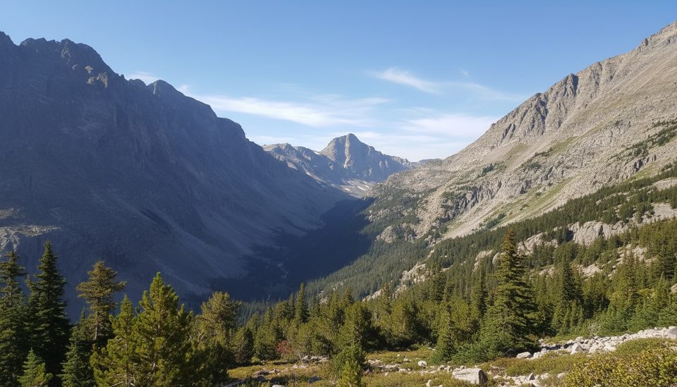
If you want variety in one outing—thundering falls, broad wildflower meadows, and a high, blue alpine lake—this one overdelivers. The Lake Mary Trail is an 11.7‑mile total out‑and‑back that follows the West Fork of Rock Creek before a steep spur climbs to Lake Mary near 9,960 feet. Plan on 6–6.5 hours if you keep a steady pace with photo stops.
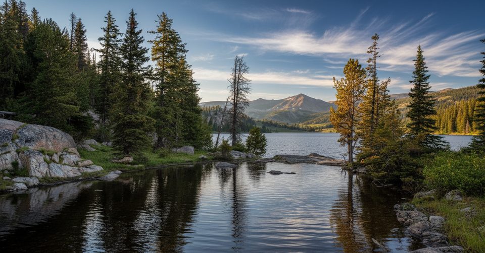
Start at the West Fork (Rock Creek) trailhead at the end of West Fork Road. The first ~1.5 miles cross a burn area (big views, little shade) before you reenter mature forest. Watch for side views of Calamity Falls (~1.3 mi) and Sentinel Falls (~1.8 mi) as you work up the valley. Around mile four you’ll break into Quinnebaugh Meadows—broad, beautiful, and a natural snack spot. Look to the right for the signed turn to Lake Mary; from here, it’s just over a mile of steady switchbacks to the lake. The basin holds two connected lakes with rocky shoreline and big vistas back down the West Fork valley.
Underfoot it’s mostly smooth singletrack with occasional rocky ribs; the final mile‑plus is the crux—steeper, rockier, and slower going. Trekking poles shine here, especially for the descent. You’ll feel the altitude on that upper section, and the breeze can funnel through the basin even on warm days.
Late June through September is the sweet spot most years. Early season can linger with snow and even a mostly frozen lake, and weather can shift fast regardless of month. Mornings offer calmer winds, cooler temps through the burn, and softer light on the meadows and falls. The broader Beartooth corridor can see winter conditions into June and again by mid‑October; always check the forecast before you commit to the drive.
Yes—this is a classic Beartooth sampler. The combo of waterfalls, meadow walking, and a dramatic alpine finish feels bigger than a single‑day effort. If you’re already driving the Beartooth Highway for the views, this hike adds a rewarding, leg‑stretching centerpiece to the day.
Large, free lot with bathrooms at the West Fork (Rock Creek) trailhead at the end of West Fork Road (FR 71).
Alpine weather changes fast; expect sudden wind, cold, or storms even in summer. Limited cell service, bears are present, and the turn for Lake Mary at Quinnebaugh Meadows can be missed—watch for the right‑hand spur.
Place · 8.1 mi away
Place · 9.5 mi away
Place · 9.7 mi away
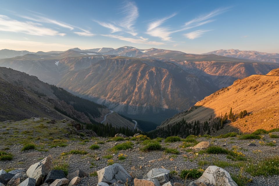
Place · 10.6 mi away
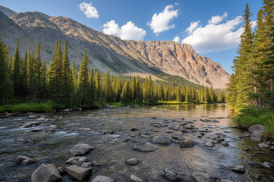
Moderate · 0 mi away
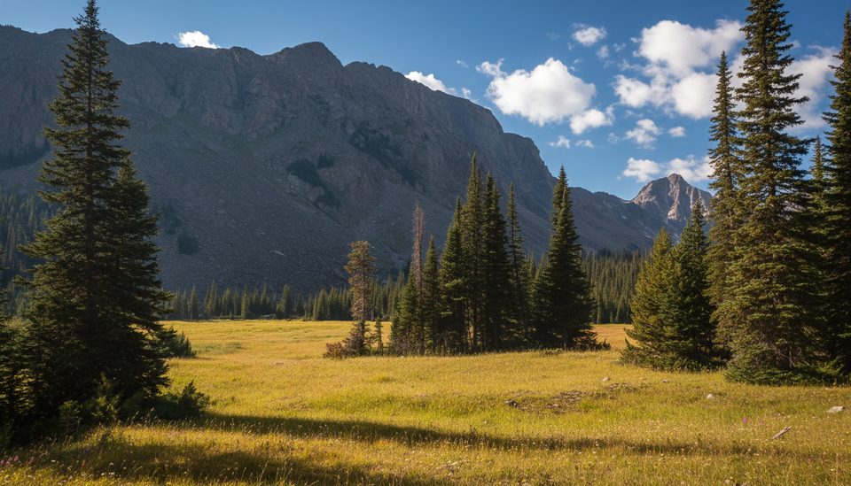
Moderate · 0 mi away
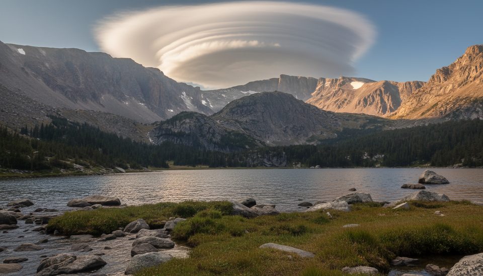
Challenging · 0 mi away
Challenging · 5.2 mi away

Parkwolf Tour Guide
