
Place · 0 mi away
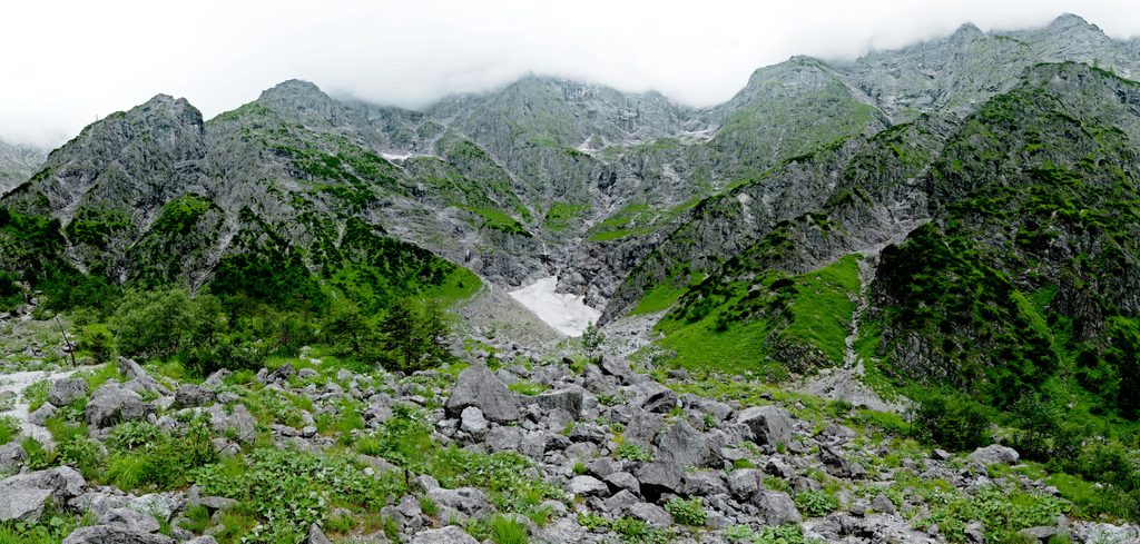
Eiskapelle is a natural snow‑and‑ice cave tucked at the foot of the Watzmann. It’s often called the lowest‑lying permanent ice field in the German Alps, and its arched “chapel” opening changes with each season. Expect a moody amphitheater of dripping meltwater and raw limestone walls—dramatic and absolutely photogenic.
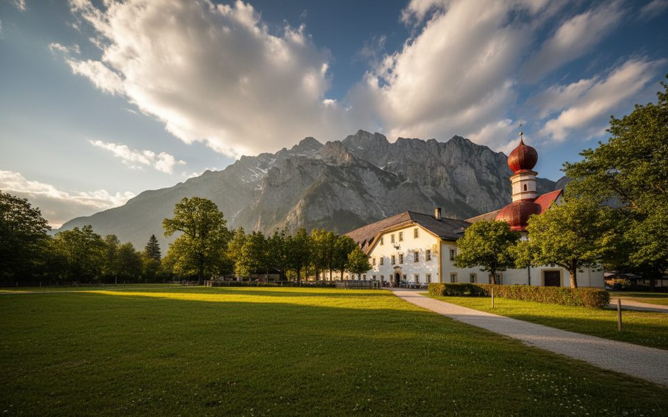
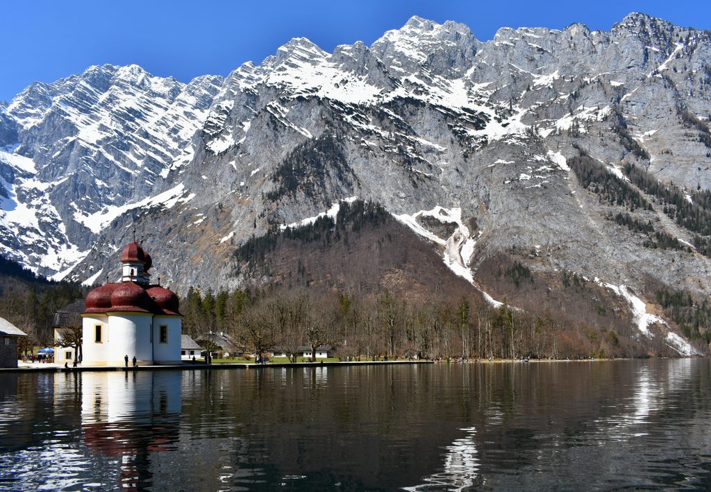
Ride the electric boat across Königssee to St. Bartholomä (about 35 minutes; round‑trip fares are commonly listed around €22). From Berchtesgaden you can reach the pier by bus lines 841 or 843, or park at the large paid lot near the dock (typical posted rates range from ~€3 for 1 hour to ~€9 for the day). There are restrooms and services at Seelände and at St. Bartholomä; none on the Eiskapelle path.
From the St. Bartholomä landing, follow the signed trail toward the Watzmann’s east face. The first half is straightforward. Near the end, the red‑dot trail gives way to rough, unmarked boulder hopping and loose scree in a gully. Sturdy boots are essential. Timewise, plan roughly 1.5–2 hours one way (3–4 hours round trip) for most hikers; distances are commonly reported around 6.8 km out‑and‑back with ~327 m of gain. Pro tip: a “15 minutes” sign you’ll see near the end is notorious—count on up to an hour from there.
Rockfall and ice collapse are real hazards near and inside the cave, year‑round. Keep a safe distance and don’t go under the roof. Conditions deteriorate quickly in heat, after rain, or with lingering snow. Expect constant dripping; a light shell helps. This is a natural feature—no official hours—so any “closed” label generally refers to the danger of entering, not the approach hike.
Late summer into early fall is the sweet spot. In September–October an entrance often exists and the approach is typically snow‑free. Earlier in the year the cave can be sealed or hazardous with avalanche debris.
Steep Dachstein limestone walls overlying Ramsau dolomite funnel debris and avalanches into the gully, preserving perennial snow and ice. Meltwater carves the temporary, chapel‑like vault that gives Eiskapelle its name.
Place · 0 mi away
Place · 0 mi away
Place · 0.1 mi away
Place · 0.1 mi away
Challenging · 0 mi away
Challenging · 0 mi away
Moderate · 0 mi away
Challenging · 1.2 mi away

Parkwolf Tour Guide
