Schneibsteinhaus in Berchtesgaden National Park

Lodging · Berchtesgaden National Park

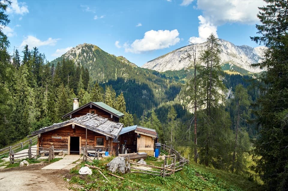
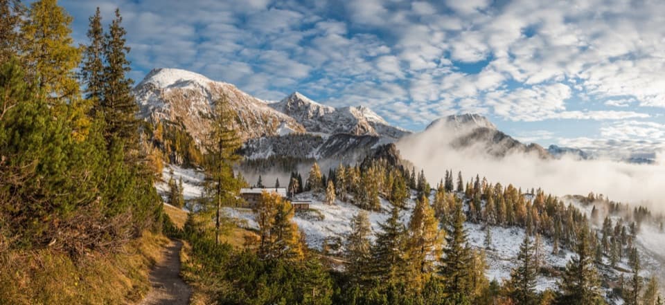
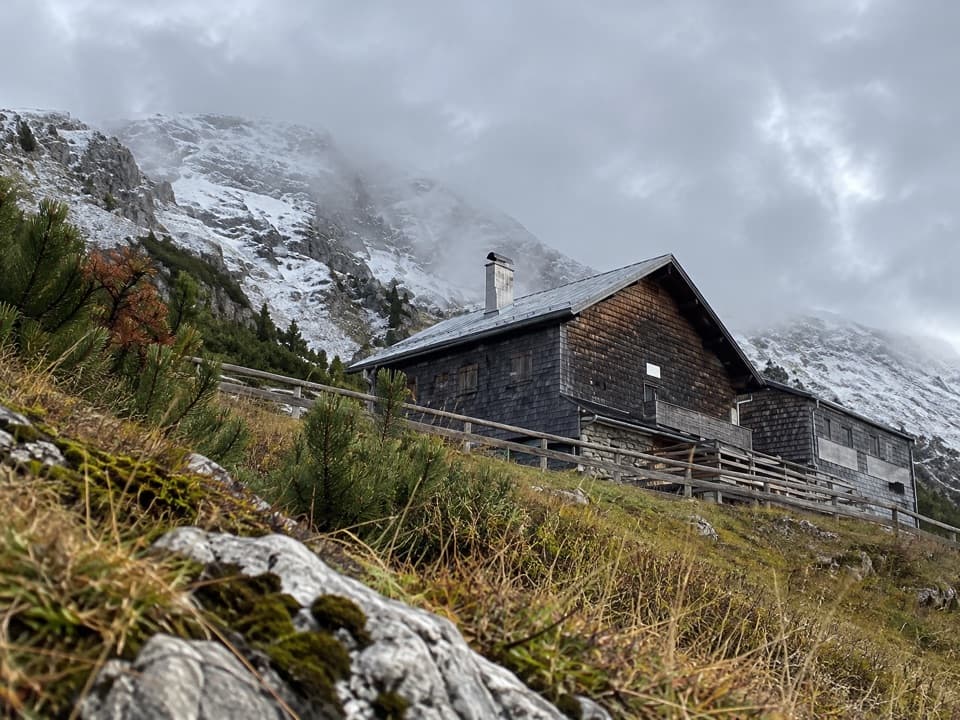
Schneibsteinhaus

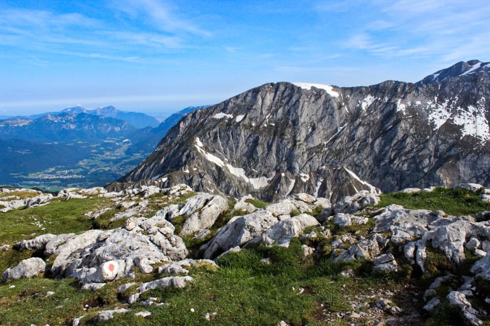
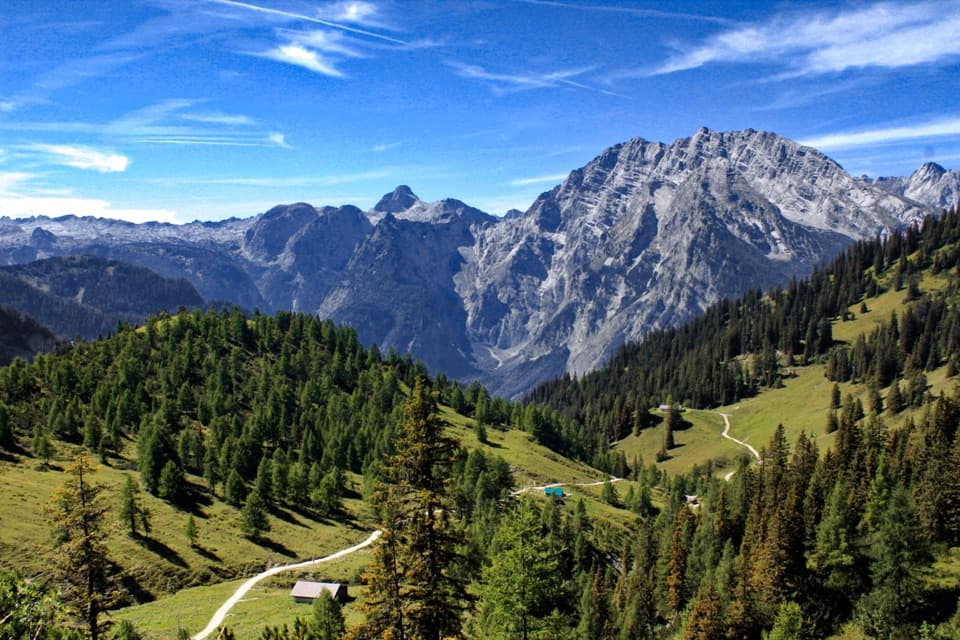
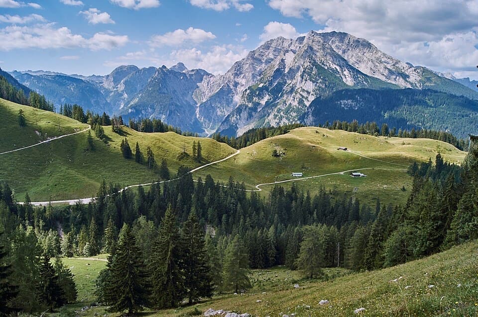
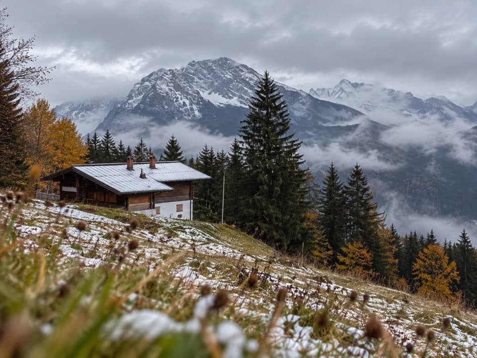
A ridge-top refuge with a terrace facing the Watzmann East Face.

Photo: Wikimedia Commons
Type
Lodging
Nearest trail
Right here
Audio stories
1 nearby
  • Food
  • Scenic viewpoint

Hear the audio tour

Hinterbrand: Pasture Walk or Alpine Circuit

Overview

About Schneibsteinhaus

Why stop

  • A useful overnight base for Schneibstein and Hohes Brett

Heads up

  • Even the lift-assisted approach leaves a 30–45-minute walk

Map

Where it is

Loading the Berchtesgaden map
Full map
LodgingSchneibsteinhaus47.57217, 13.03923
Keep this map with you offline in the Parkwolf app

Plan your stop

Before you go

2 active Berchtesgaden alerts

  • ClosureKlausbachtal trail closuresTwo Klausbachtal trail sections are closed; use the Hirschbichlstraße (St 2099) to bypass them. - Trail No.Official details
  • ClosureKönigsbach Waterfall Gumpen area closedThe wide area around the “Gumpen” pools at Königsbach Waterfall is closed to visitors to protect recovering vegetation.Official details

Berchtesgaden alerts
A park ranger sits on a dash-mounted phone, talking, as Parkwolf’s Tour Guide plays “Army Cutworm Moths: A Grizzly Bear Buffet” on Grand Loop Road below Dunraven Pass in Yellowstone
Parkwolf Tour GuideThe highest, rockiest slopes around here are a summer buffet for grizzly bears.

Berchtesgaden Tour Guide

Your drive to Schneibsteinhaus, narrated.

Parkwolf is a GPS audio tour guide for Berchtesgaden National Park. As you drive, it chimes in with what’s ahead: hidden gems, upcoming stops, history, geology, and wildlife, right through your car’s speakers.

Recorded for this area

Hinterbrand: Pasture Walk or Alpine Circuit
0:00 / 0:29
“You're approaching Hinterbrand, a starting point for mountain walks above Königssee.”

Plays on the road 2.9 km from Schneibsteinhaus in the Parkwolf Berchtesgaden Tour Guide.

More stories near here in the app

  • A Schnapps Dug from the Mountain
  • The Bone-Eating Vulture
  • Jennerbahn: Ride Up for Königsblick
  • Königssee by Boat or on Foot
  • 25 audio storiesacross Berchtesgaden’s roads, triggered by GPS as you drive
  • Wildlife heatmapsfor Bearded Vulture, Golden Eagle, Red Deer, and 13 more
  • Works offlinemaps, 71 trails, 57 places, and audio download before you lose signal
  • CarPlay readysimple controls built for the drive
★★★★★
“Fantastic app with many points of information… It’s great to just turn on while you’re driving and it gives you an audio tour of the national Park. We love it!!!!”
JMJamesApp Store review
Download Parkwolf on the App StoreGet Parkwolf on Google Play

4.7 from 8,600+ ratings

Guide

More about Schneibsteinhaus

A proper alpine hut above JennerSchneibsteinhaus is a staffed mountain hut and dining stop on Torrener Joch in the Jenner area,…

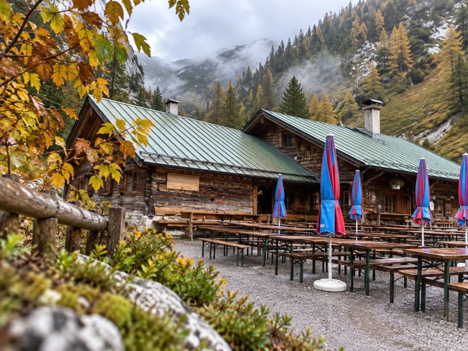
Schneibsteinhaus is a staffed mountain hut and dining stop on Torrener Joch in the Jenner area, at about 1,670 metres on the German-Austrian border. You come here on foot for a meal, an overnight stay, or a base for higher tours. I'd make time for it if you're hiking or staying in the area; it takes more effort than a casual roadside stop.

The walk shapes the visitFrom the Jennerbahn mountain station, allow about 30 to 45 minutes on foot.

From the Jennerbahn mountain station, allow about 30 to 45 minutes on foot. From Hinterbrand via Mitterkaseralm, it's about two hours, roughly 4.5 km with 590 metres of climbing. The cable car shortens the approach but doesn't bring you to the door. The hut normally operates from May through October; check the current season and booking details directly before planning around a meal or bed.

Eat, sleep, and take in the viewThe dining rooms have a tiled stove, and the sun terrace faces the Watzmann East Face.

The dining rooms have a tiled stove, and the sun terrace faces the Watzmann East Face. Meals make this a handy pause on a tour, though there isn't a particular dish I'd plan the detour around. Overnight guests have beds and shared dormitory places; pillows and blankets are provided, but bring a hut sleeping bag. Think mountain hut, not hotel.

A hut with a long historyThe stone hut was built between 1937 and 1939.

The stone hut was built between 1937 and 1939. Naturfreunde Deutschlands ran it from 1946, and the Free State of Bavaria has leased it to the DAV Berchtesgaden section since 2019. Its position on the border gives this high pass a distinctly cross-border feel.

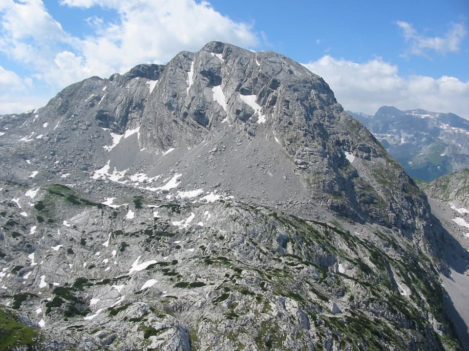
A starting point for bigger toursFrom the hut, routes head toward Schneibstein and Hohes Brett, or loop through the Hagengebirge…

From the hut, routes head toward Schneibstein and Hohes Brett, or loop through the Hagengebirge on the Kleine Reibn. The Kleine Reibn is a 13 km mountain circuit with about 1,055 metres of ascent and descent, usually estimated at 5.5 hours. That's a full outing, not a casual add-on after lunch.

Wildlife

Wildlife in Berchtesgaden

All Berchtesgaden wildlife maps

Sighting maps show where each species has been reported across Berchtesgaden. Wildlife moves, so no sighting is guaranteed.

Keep exploring

Near Schneibsteinhaus

See it all on the map

Trails nearby

More stops nearby

Parkwolf’s Berchtesgaden ranking

Top sights in Berchtesgaden

All 57 places
  1. 1KönigsseeSight
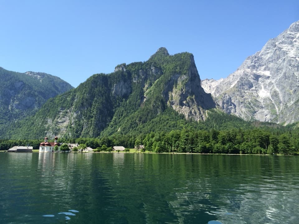
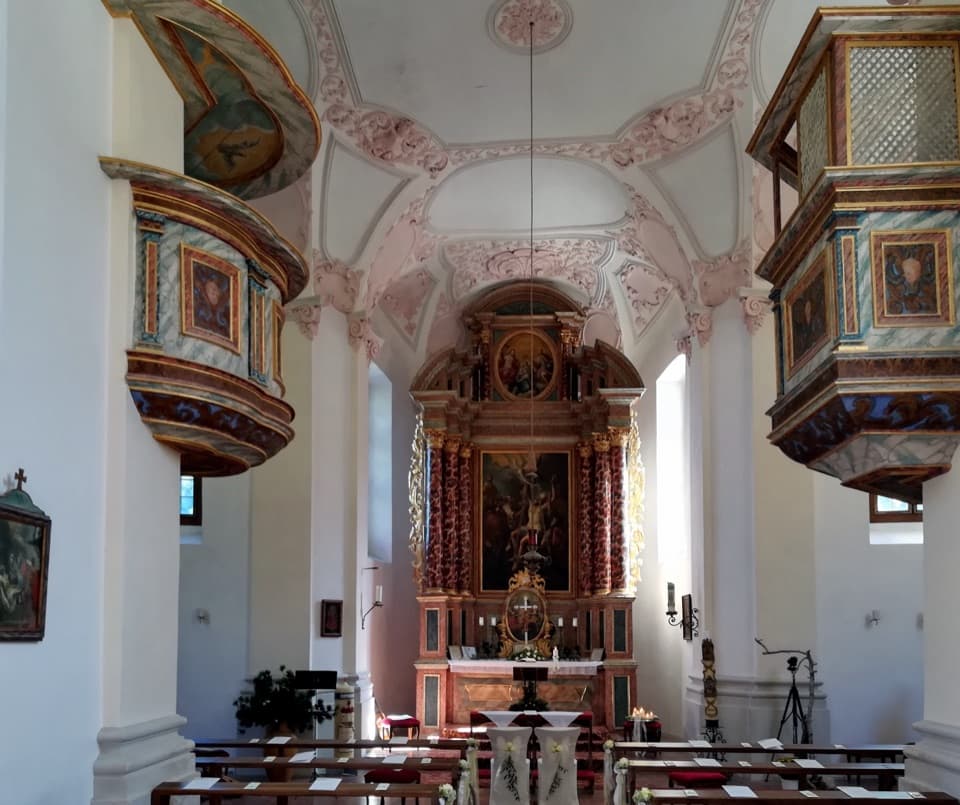
  2. 2St. Bartholomä Pilgrimage ChurchSight
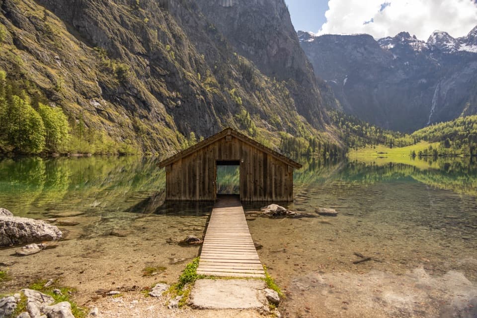
  3. 3OberseeSight
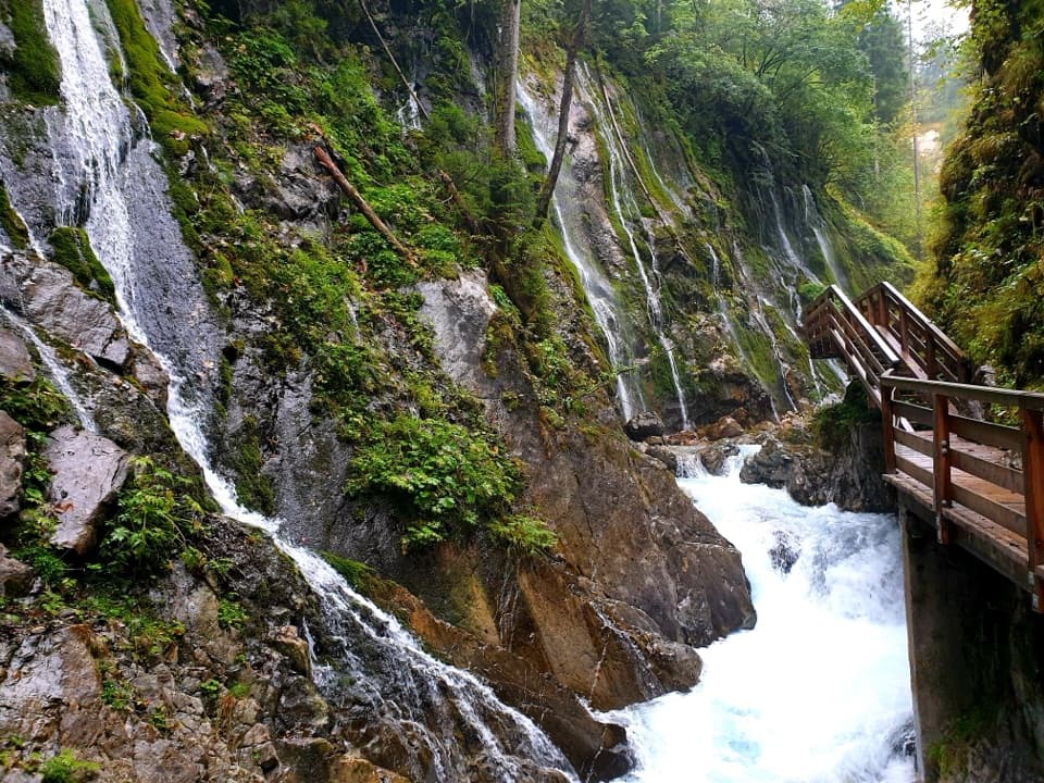
  4. 4WimbachklammSight
  5. 5Haus der BergeSight
  6. 6HinterseeSight

Take Parkwolf to Berchtesgaden.

The audio tour guide for the drive, plus offline maps, trails, and wildlife heatmaps for when the signal drops.

4.7 from 8,600+ ratings

Download Parkwolf on the App StoreGet Parkwolf on Google Play