
Place · 1 mi away
Moderate
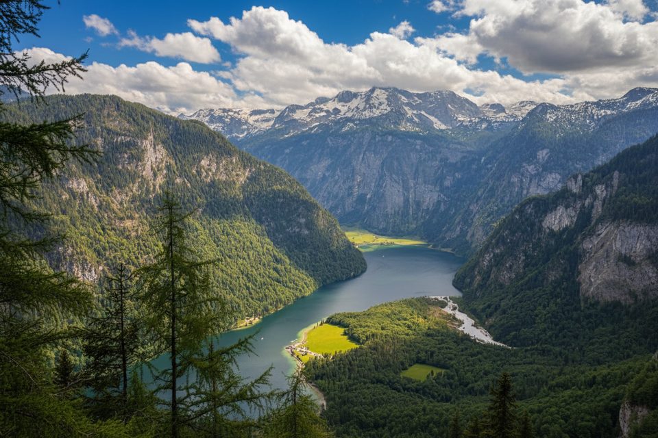
A quieter classic in Berchtesgaden, this moderate out‑and‑back climbs from Schönau am Königssee to the Archenkanzel overlook—a natural balcony with a dizzying view straight down to Königssee and St. Bartholomä. Expect about 15 km total (round trip), roughly 800 m of gain, and 4.5–5 hours on trail. It’s less flashy than taking the Jenner lifts—and far less crowded—but the payoff is superb.
From the Tourist Information Centre area in Schönau, follow the yellow signs for “Grünstein/Kührointalm.” The first leg is the crux: a sustained, steep forest climb past a former bobsleigh track with stair sections and occasional benches to catch your breath. After the Grünsteinhütte junction, the grade eases into pleasant forest and a dirt road with peeks toward the Watzmann. Kührointalm sits on a high meadow shelf; from here, it’s an easy 25–30 minute stroll through meadow and trees to Archenkanzel, where benches invite a long pause over the lake.
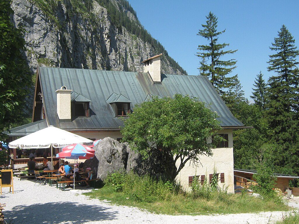
Grünsteinhütte and Kührointalm serve food and drinks when open (typically seasonal). There are no reliable natural water sources along the route—carry what you need, and don’t count on streams. In winter, huts may be closed.
Standard is out‑and‑back. Confident parties sometimes continue from Archenkanzel down toward the lake and ride the boat from St. Bartholomä back to Königssee—just be sure to check ferry times in advance. Cyclists may reach the Kühroint area on designated roads/forest paths and then walk the final minutes to the viewpoint.
The trail is walkable year‑round in normal conditions, but May–October is the sweet spot for snow‑free paths and open huts. Shoulder seasons and early mornings mean easier parking and fewer people at the overlook. In colder months (often October–April), expect packed snow or ice near Kühroint—microspikes and poles can make this much more comfortable. Spring can bring early blooms like snow roses along the way.
Compared to the Jenner area, this route stays pleasantly calm, especially once you clear the initial climb. Trails are well signed throughout, making navigation straightforward.
You’re in Berchtesgaden National Park: stay on marked paths, keep dogs leashed, pack out all trash, don’t pick plants, and skip drones, camping, bivouacking, and fires. Cyclists should yield and ride only where permitted.
If you like a good honest climb to a world‑class view without the ski‑resort energy, yes. If you’re after maximum bang with minimal sweat, the Jenner lifts might suit you better—though you’ll share the view with many more people.
Park at the large paid lot by the Tourist Information Centre in Schönau am Königssee (reported around €8/day). Alternative parking at Parkplatz Hammerstiel if you prefer a different start.
Steep lower climb with stairs; limited water; winter brings snow/ice near Kühroint—carry traction if needed. Follow National Park rules: stay on signed paths, keep dogs leashed, no camping or drones.
Place · 1 mi away
Place · 1.2 mi away
Place · 1.5 mi away
Place · 1.8 mi away
Challenging · 1.2 mi away
Challenging · 1.2 mi away
Challenging · 1.2 mi away
Easy · 1.2 mi away

Parkwolf Tour Guide
