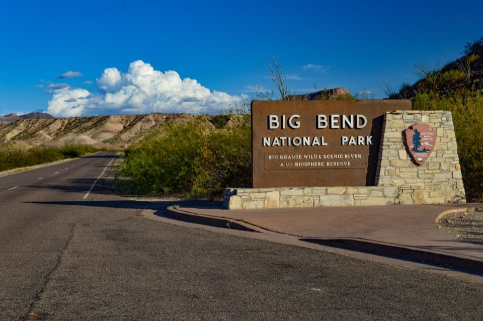
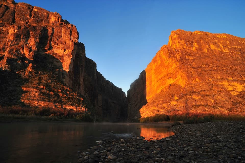
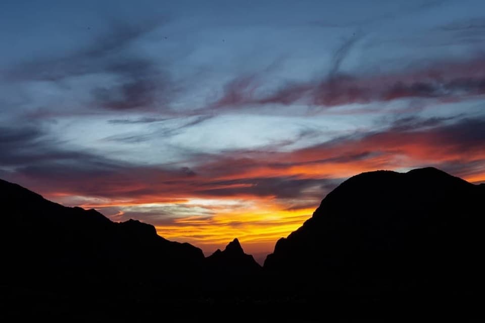
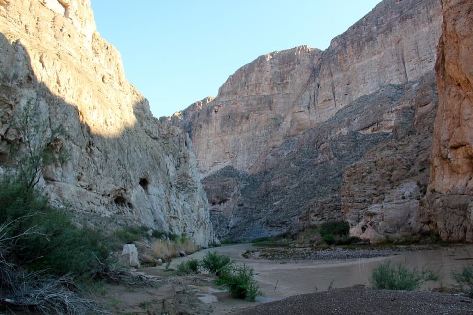
Maverick Entrance Station in Big Bend National Park

Entrance station · Big Bend National Park

Maverick Entrance Station

A staffed west entrance offers the park map and newspaper.

Photo: National Park Service
Type
Entrance station
Audio stories
4 nearby

Hear the audio tour

Badlands Exhibit near Maverick Entrance

Map

Where it is

Loading the Big Bend map
Full map
Entrance stationMaverick Entrance Station29.29383, -103.49627
Keep this map with you offline in the Parkwolf app

Plan your stop

Before you go

2 active Big Bend alerts

  • ClosureWeather-related road closuresDo not use these closed roads; NPS lists the closures as in effect until further notice.Official details
  • InfoBoquillas Crossing schedule changeBoquillas Crossing is open Friday through Monday, 9:00 a.m.–4:00 p.m.; NPS says it will not change to winter hours at this time. Check current park conditions before planning a crossing.Official details

Big Bend alerts
A park ranger sits on a dash-mounted phone, talking, as Parkwolf’s Tour Guide plays “Army Cutworm Moths: A Grizzly Bear Buffet” on Grand Loop Road below Dunraven Pass in Yellowstone
Parkwolf Tour GuideThe highest, rockiest slopes around here are a summer buffet for grizzly bears.

Big Bend Tour Guide

Your drive to Maverick Entrance Station, narrated.

Parkwolf is a GPS audio tour guide for Big Bend National Park. As you drive, it chimes in with what’s ahead: hidden gems, upcoming stops, history, geology, and wildlife, right through your car’s speakers.

See the Big Bend audio tour

Recorded for this place

Badlands Exhibit near Maverick Entrance
0:00 / 0:19
“You're approaching the Badlands Exhibit near Maverick Entrance Station, a quick roadside look at the colorful clay hills.”

Plays as you drive up to Maverick Entrance Station in the Parkwolf Big Bend Tour Guide.

More stories near here in the app

  • Three Boats into the Canyons
  • Where the Mountain Pieces Go
  • Mail Day at the Hot Springs
  • The Resurrection Plant Unfurls
  • 110 audio storiesacross Big Bend’s roads, triggered by GPS as you drive
  • Wildlife heatmapsfor Black Bear, Collared Peccary, White-tailed Deer, and 13 more
  • Works offlinemaps, 45 trails, 64 places, and audio download before you lose signal
  • CarPlay readysimple controls built for the drive
★★★★★
“Fantastic app with many points of information… It’s great to just turn on while you’re driving and it gives you an audio tour of the national Park. We love it!!!!”
JMJamesApp Store review
Download Parkwolf on the App StoreGet Parkwolf on Google Play

4.7 from 8,600+ ratings

Guide

More about Maverick Entrance Station

A practical first stopMaverick Entrance Station is Big Bend's western fee-and-pass station, about four miles east of…

Maverick Entrance Station is Big Bend's western fee-and-pass station, about four miles east of Study Butte. When it's staffed, you can pay the entrance fee or buy a pass, then pick up the park map and newspaper before heading deeper into the park.

If no one is at the boothIf the booth is unstaffed, you can pay at Panther Junction or Chisos Basin visitor centers.

If the booth is unstaffed, you can pay at Panther Junction or Chisos Basin visitor centers. Treat this as an entry stop, not a guaranteed staffed desk.

Restroom just beyond the gateThe separate Maverick Information Board pull-in is about a tenth of a mile east, with parking…

The separate Maverick Information Board pull-in is about a tenth of a mile east, with parking and an accessible vault toilet. It's a convenient stop after entering, but those facilities aren't part of the fee station itself.

Wildlife

Wildlife in Big Bend

All Big Bend wildlife maps

Sighting maps show where each species has been reported across Big Bend. Wildlife moves, so no sighting is guaranteed.

Parkwolf’s Big Bend ranking

Top sights in Big Bend

All 64 places
  1. 1Santa Elena CanyonSight
  2. 2Sotol VistaSight
  3. 3Fossil Discovery ExhibitSight
  4. 4Window ViewSight
  5. 5Boquillas CanyonSight
  6. 6Langford Hot SpringsSight

Take Parkwolf to Big Bend.

The audio tour guide for the drive, plus offline maps, trails, and wildlife heatmaps for when the signal drops.

4.7 from 8,600+ ratings

Download Parkwolf on the App StoreGet Parkwolf on Google Play