Pros & cons
PROS
- Drive-in backcountry sites with separate parking for each vehicle [nps.gov](https://www.nps.gov/bibe/planyourvisit/campsite_terlinguaabajo.htm)
- Generally easy access via Old Maverick Road in dry weather [recreation.gov](https://www.recreation.gov/camping/campsites/10028935)
- Quiet nights—generators are not allowed [recreation.gov](https://www.recreation.gov/camping/campsites/10028935)
CONS
- No water, restrooms, or trash services; come fully self-sufficient [nps.gov](https://www.nps.gov/bibe/planyourvisit/campsite_terlinguaabajo.htm)
- Roads can be rutted after heavy rain; may require high clearance/4WD [recreation.gov](https://www.recreation.gov/camping/campsites/10028935)
Overview
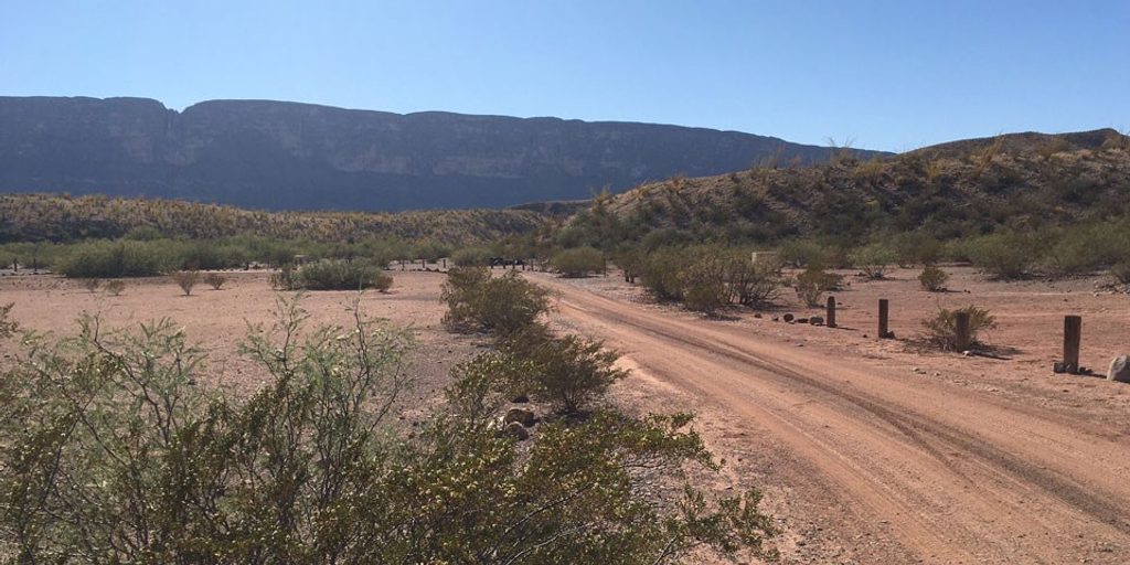
Terlingua Abajo is a cluster of primitive, drive-in roadside camps tucked off Old Maverick Road on the park’s west side. It’s here for solitude, desert vistas, and star-packed skies—not amenities. Each vehicle gets its own parking/camping spot, and the vibe is quiet and wild.
Getting There
Old Maverick Road is a graded dirt route between the Maverick Entrance Station and Santa Elena Canyon. In normal dry conditions it’s manageable for most vehicles; after storms, expect ruts and washboards. Terlingua Abajo sits a short spur off the road, roughly 10 miles from the north end and about 3 miles from the south end near Santa Elena.
What You’ll See
You’re camping amid open Chihuahuan Desert—broad arroyos, low hills, and big horizons. Expect glowing sunsets and dark-sky stargazing. Across the creek are remnants of a historic farming community, adding some quiet, human history to the scene.
Wildlife
This is good country for javelina, mule deer, coyotes, lizards, and a variety of birds. Mountain lions roam the broader area—keep children close, avoid solo wandering at dawn/dusk, and store food securely.
On-the-Ground Reality
There are no facilities—no water, toilets, or trash service—and little natural shade. Winds can kick up and exposure is real, so bring robust shelter, plenty of water, and sun protection. Pack out everything, including waste.
Best Time to Visit
Aim for dry-weather windows; the access roads degrade fast after rain. Sunrises and sunsets are prime for photos, and clear nights are outstanding for stars. Weekdays see fewer pass-through vehicles on Old Maverick Road. These sites are popular among backcountry campers, so plan ahead.
Where it is
29.1935, -103.6074Tips for Terlingua Abajo
- 01Reserve early—popular backcountry roadside sites can book up months ahead [nps.gov](https://www.nps.gov/bibe/planyourvisit/roadsidecamps.htm).
- 02Check road conditions before you go; Old Maverick and the spur can rut after rain [recreation.gov](https://www.recreation.gov/camping/campsites/10028935).
- 03Bring all your water and a waste plan; there are no services here [nps.gov](https://www.nps.gov/bibe/planyourvisit/campsite_terlinguaabajo.htm).
- 04Generators aren’t permitted, so power your setup with batteries/solar [recreation.gov](https://www.recreation.gov/camping/campsites/10028935).
- 05Have a high-clearance backup plan if storms are in the forecast.
Amenities
Near Terlingua Abajo
All places →All trails →
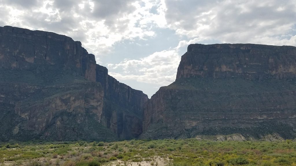
1.8 mi awaySanta Elena Canyon OverlookEasy stop with a jaw-dropping view into Santa Elena CanyonTrailhead · Parking
1.8 mi awaySanta Elena Canyon TrailShort walk into a jaw-dropping border canyon on the Rio GrandeEasy · 1.6 mi · 1 hr
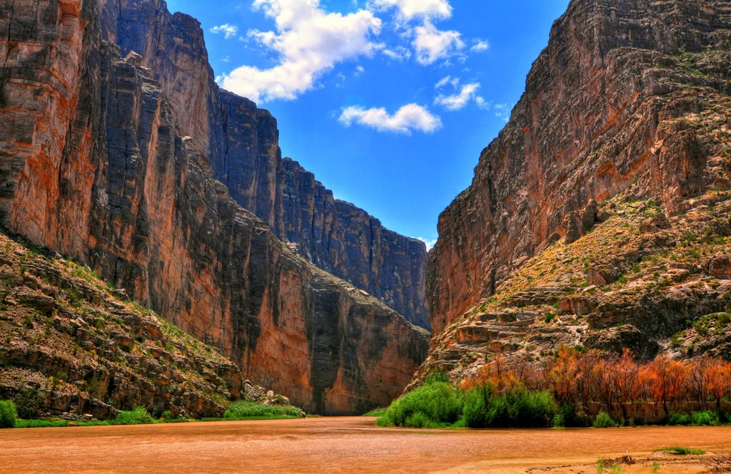
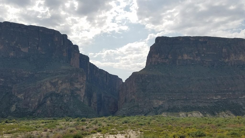
2 mi awaySanta Elena CanyonBig Bend’s signature limestone gorge carved by the Rio GrandeTrailhead · Restroom
3.2 mi awayDorgan house ruinPhotogenic adobe ruins with Rio Grande views and rich historyTrailhead · Pullout
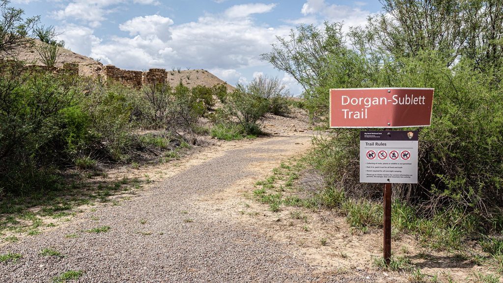
3.2 mi awayDorgan-Sublett TrailShort, easy walk to historic ruins with big Rio Grande viewsEasy · 1.6 mi · 45 min
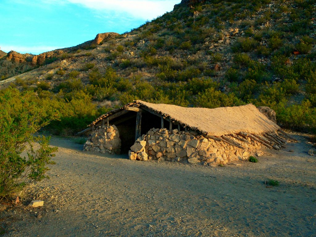
4.6 mi awayLuna JacalA tiny frontier homestead tucked under Peña MountainPullout · Parking
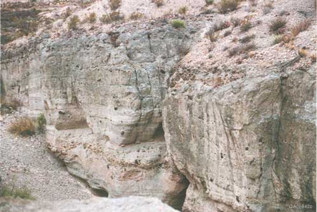
7.9 mi awayTuff Canyon TrailShort, easy dive into a pale volcanic canyon off a scenic driveEasy · 0.8 mi · 24 min
10.5 mi awayMule Ears Spring TrailDesert stroll to a shady spring beneath the Mule Ears peaksEasy · 3.9 mi · 2 hr