Pros & cons
PROS
- Iconic panorama into the Rio Grande–carved canyon
- Quick stop with a short walk from the parking loop
- Interpretive signs and vault toilets on-site
CONS
- Little to no shade; scorching in warm months
- Can be crowded on weekends and holidays
Overview
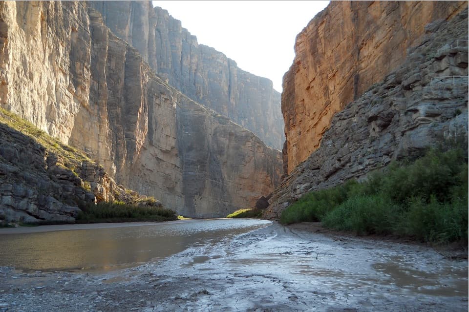
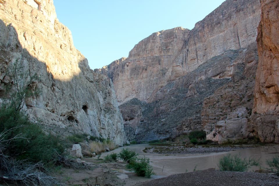
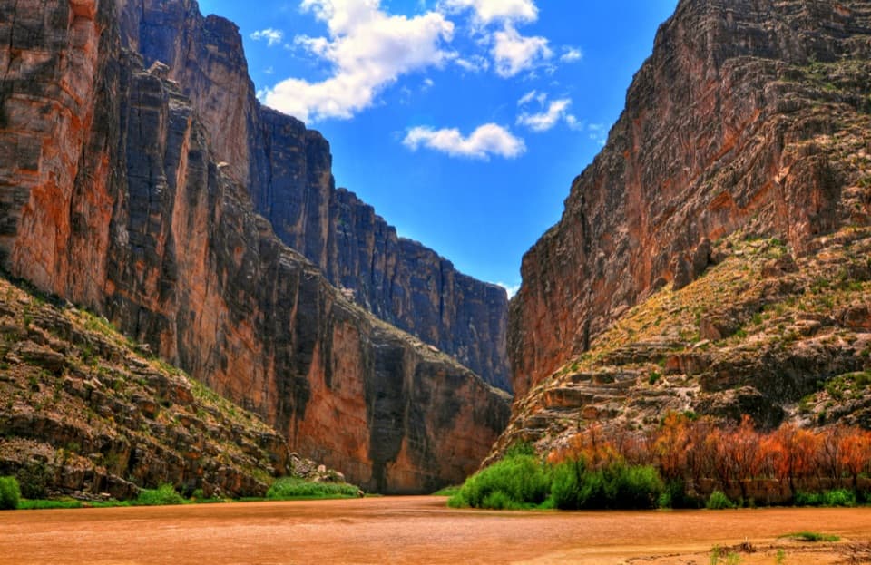
This roadside overlook is the park’s curtain-raiser for Santa Elena Canyon—an 8‑mile limestone gorge where sheer walls rise dramatically above the Rio Grande. It sits at the end of Ross Maxwell Scenic Drive, beside the start of the Santa Elena Canyon Trail and the river access area, so you can take in the big view even if you’re not hiking.
What You’ll See
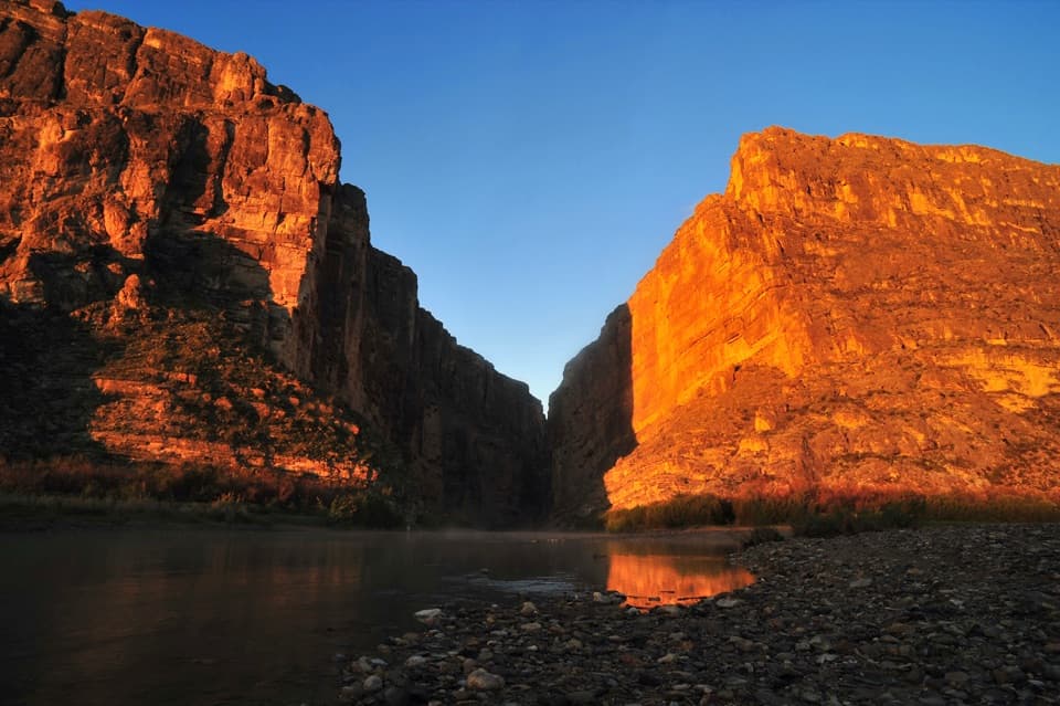
From the parking loop a short path leads to sweeping, unobstructed views straight into the mouth of the canyon. On clear days you can peer deep between the walls as the river winds along the international border. The scene changes with seasons and river levels: at times you’ll see wide, silty flow; during drier spells, sandbars and mudflats peek through. It’s a favorite photo stop thanks to the stark limestone faces and the river’s S‑curves.
Best Time to Visit
Early morning and late afternoon deliver the most flattering light on the canyon walls and the fewest people. Midday—especially on weekends—draws the biggest crowds and the harshest light. If you’re planning to continue onto the Santa Elena Canyon Trail, check recent weather: after rains, Terlingua Creek can run high or turn into boot‑sucking mud that blocks access.
Wildlife
The riparian corridor and cliffs can attract raptors and songbirds. Bring binoculars—this is big country, and the vantage is wide.
Make the Most of Your Stop
- Hit the overlook first for wide shots and context, then hike into the canyon for an immersive angle.
- Watch river parties; this is the visual start/end of popular multi‑day trips through the canyon.
- Expect full sun—this is an exposed desert viewpoint—so plan water and sun protection accordingly.
Amenities and Logistics
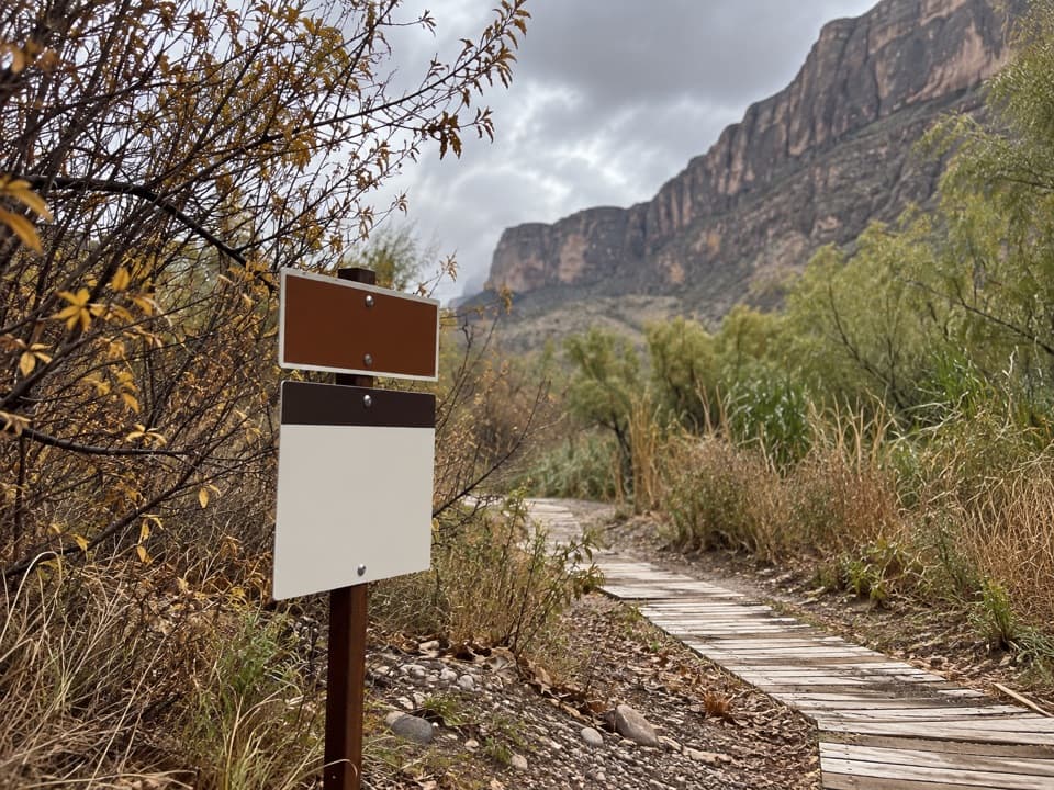
You’ll find a developed parking loop with vault toilets and interpretive panels. The adjacent area is the official trailhead for the Santa Elena Canyon Trail, and NPS lists picnic tables here. There’s no food, water filling, gas, or store—come prepared and treat this as a scenic stop, not a services hub.
Where it is
29.1673, -103.6105Tips for Santa Elena Canyon Overlook
- 01Arrive at sunrise or late afternoon for softer light and fewer crowds.
- 02Stop here first for wide-angle photos, then hike the canyon trail.
- 03After rains, verify Terlingua Creek conditions before attempting the trail crossing.
- 04Bring plenty of water and sun protection—there’s virtually no shade.
Amenities
Near Santa Elena Canyon Overlook
All places →All trails →
0 mi awaySanta Elena Canyon TrailShort walk into a jaw-dropping border canyon on the Rio GrandeEasy · 1.6 mi · 1 hr
0.3 mi awaySanta Elena CanyonBig Bend’s signature limestone gorge carved by the Rio GrandeTrailhead · Restroom
1.8 mi awayTerlingua AbajoQuiet, primitive desert camps near Old Maverick RoadCampground · Parking
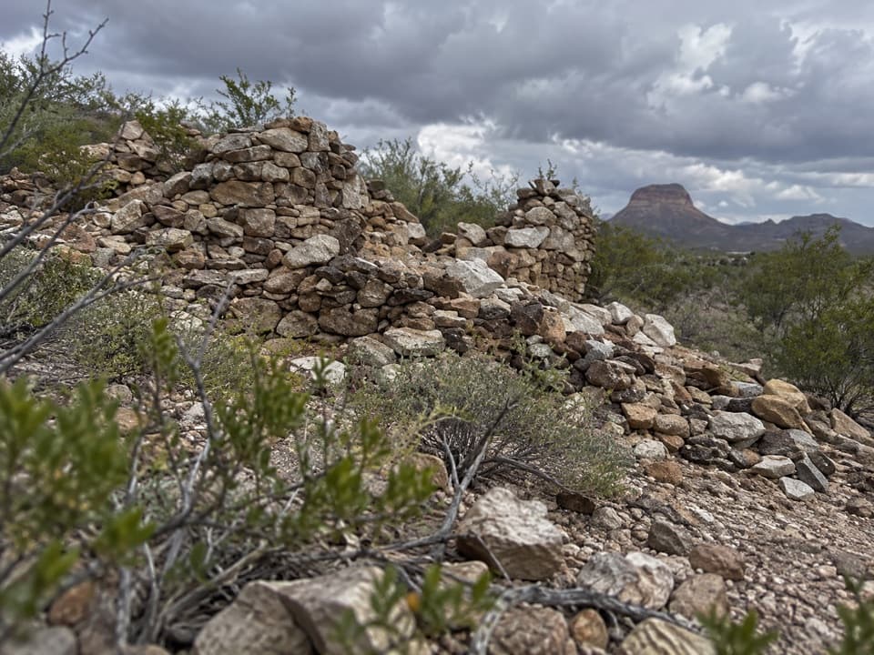
2 mi awayDorgan house ruinPhotogenic adobe ruins with Rio Grande views and rich historyTrailhead · Pullout
2.1 mi awayDorgan-Sublett TrailShort, easy walk to historic ruins with big Rio Grande viewsEasy · 1.6 mi · 45 min
5.7 mi awayLuna JacalA tiny frontier homestead tucked under Peña MountainPullout · Parking
7.6 mi awayTuff Canyon TrailShort, easy dive into a pale volcanic canyon off a scenic driveEasy · 0.8 mi · 24 min
10.6 mi awayMule Ears Spring TrailDesert stroll to a shady spring beneath the Mule Ears peaksEasy · 3.9 mi · 2 hr