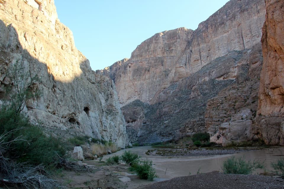
Parking
Use the paved Santa Elena Canyon Trailhead lot at the end of Ross Maxwell Scenic Drive. It holds about 20 vehicles and has a vault/composting toilet.
#2 of 45 trails in Big Bend
Big Bend National Park, TX
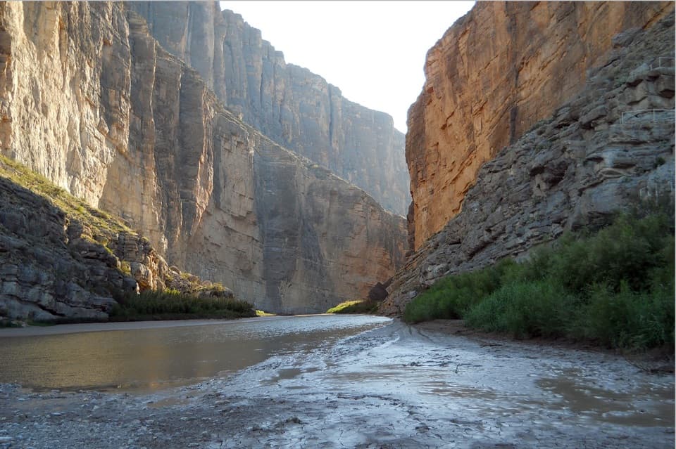
Cross a shifting creek, then walk beneath towering limestone walls.
Overview
Santa Elena Canyon Trail is a 1.6-mile out-and-back from the end of Ross Maxwell Scenic Drive, across Terlingua Creek and into the canyon to the Rio Grande. Plan on about one hour for the walk. Allow longer if you want to linger at the high viewpoint and the boulder-lined end.
 Parkwolf’s verdictIs this the hike for you?
Map & elevation
Plan your hike

The highest, rockiest slopes around here are a summer buffet for grizzly bears.
Big Bend Tour Guide
Parkwolf is a GPS audio tour guide for Big Bend National Park. As you drive, it chimes in with what’s ahead: hidden gems, upcoming stops, history, geology, and wildlife, right through your car’s speakers.
See the Big Bend audio tourRecorded for this trailhead
Santa Elena Canyon“You're approaching Santa Elena Canyon, where the Rio Grande runs between limestone walls rising fifteen hundred feet. Stop for the canyon-mouth view even if you don't want a hike.”
Plays as you drive up to this trailhead in the Parkwolf Big Bend Tour Guide.
More stories near here in the app
“Fantastic app with many points of information… It’s great to just turn on while you’re driving and it gives you an audio tour of the national Park. We love it!!!!”


Trail guide
The route begins by crossing the bed of Terlingua Creek and climbing a short, steep bank. After rain, the bed can be thick mud or flowing water; at other times it may be dry sand. Wear shoes that can get muddy. Do not cross if the water is deep or swift. Summer rainy-season flooding can make the route impassable, so ask park staff about the crossing when conditions are uncertain.
The park warns hikers not to walk far upstream looking for a dry crossing. Those long detours head toward dangerous cliffs and are not the maintained trail. If the direct crossing is unsafe, turn around and enjoy the canyon from the road-end area.
Once across the creek, follow the maintained route into the canyon mouth. A series of concrete steps climbs to a high viewpoint. From there the path slopes gradually toward the river. Beyond the creek approach, the walking is mostly smooth, though the steps and uneven boulders still call for attention.
The last stretch winds among large boulders and ends abruptly where the canyon wall meets the Rio Grande. This is an out-and-back, so turn around at the end and retrace the same route. The viewpoint above the river gives you the broadest look at the gorge; include the river below the walls to show their scale.
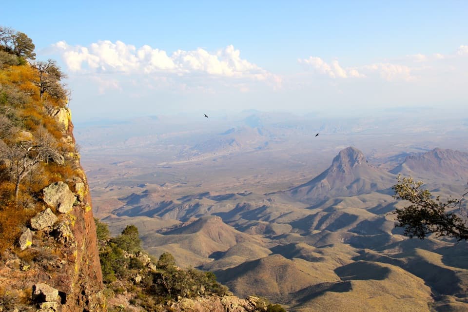
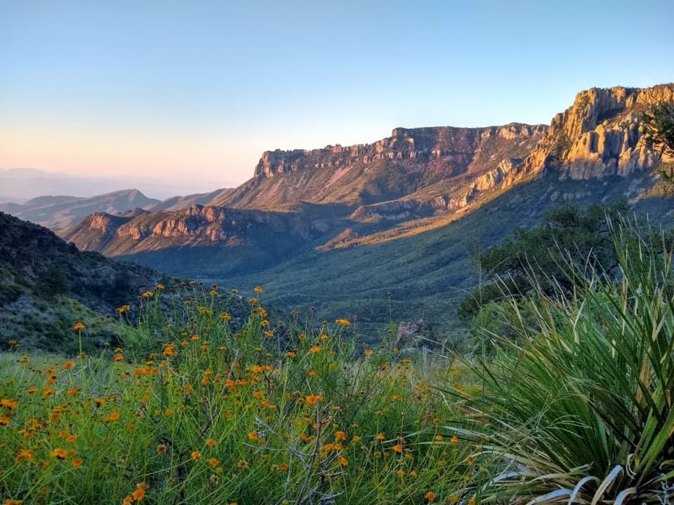
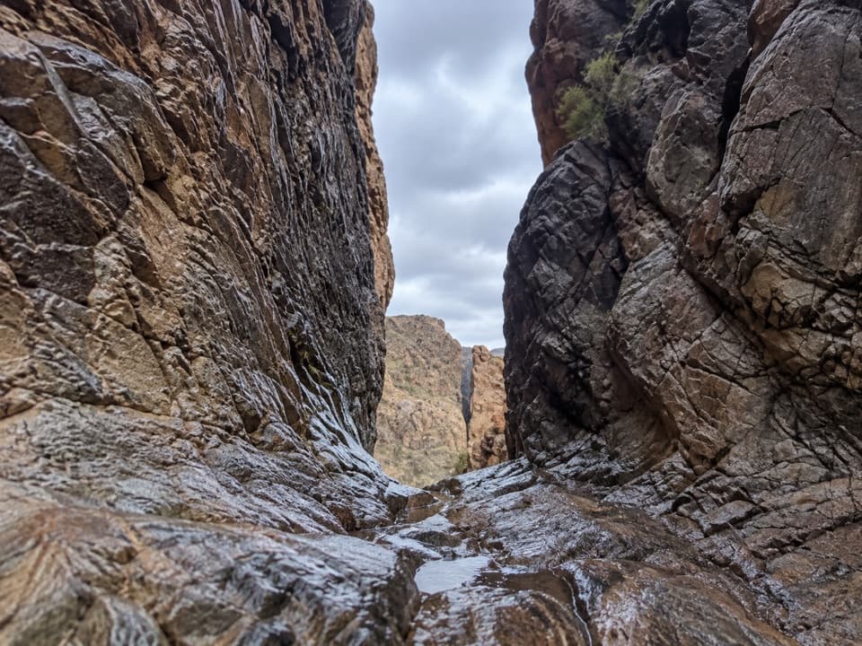
Santa Elena Canyon runs for about seven miles, and the trail reaches one of its narrowest places. The canyon walls rise as high as 1,500 feet and are the tallest canyon walls in the park. You feel the walls close in as the path leaves the open creek bed and enters the canyon mouth; the route’s payoff is how quickly that broad desert wash turns into a steep-sided river gorge.
Pause to listen for the descending call of a canyon wren and the calls of ravens high along the walls.
Park at the paved lot at the end of Ross Maxwell Scenic Drive; it holds about 20 vehicles and has a vault/composting toilet. No food or drinking water was identified at the trailhead or along the walk. Pets are not allowed on park trails.
This is a good choice when you want to get inside Big Bend’s river canyon without signing up for a long backcountry day. The walk is short, but it is not a level stroll: the creek approach has a steep bank, and concrete steps climb into the canyon. Check the crossing before you set out; water conditions matter more than the mileage.
Wildlife
 377 sightingsBlack BearMost seen around 7 PMSighting map
 329 sightingsCollared PeccaryMost seen around 7 PMSighting map
 500 sightingsWhite-tailed DeerMost seen around 7 PMSighting map
 985 sightingsRoadrunnerMost seen around 8 AMSighting map
 228 sightingsRavenMost seen around 5 PMSighting map
 264 sightingsTurkey VultureMost seen around noonSighting map
Sighting maps show where each species has been reported across Big Bend. Wildlife moves, so no sighting is guaranteed.
Keep exploring
 EasyDorgan Sublett Trail1 mi · 30 min · 2.1 mi awayA quick farmstead walk with a big hilltop view.
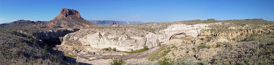 EasyTuff Canyon Trail0.5 mi · 20 min · 7.6 mi awayA short rim walk with a clear look at volcanic layers.
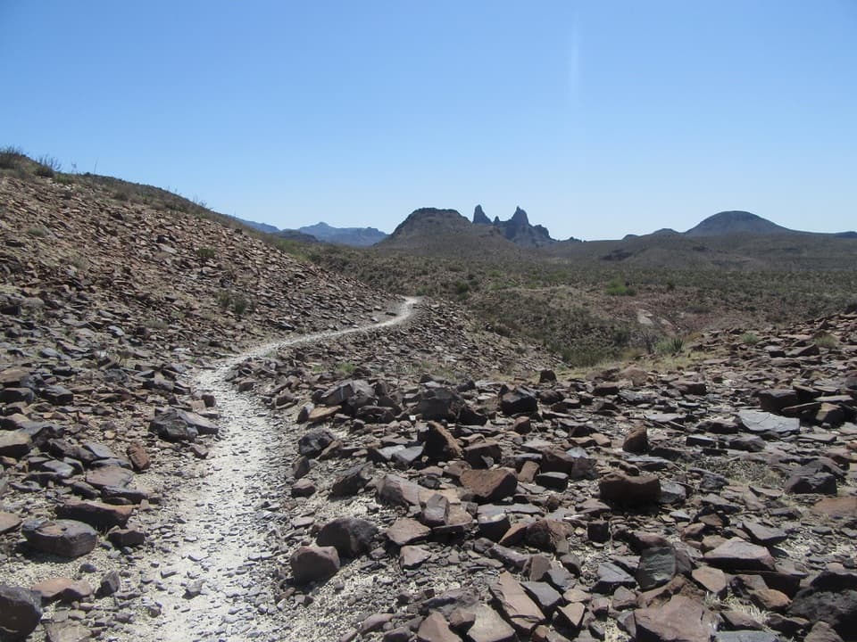 ModerateMule Ears Spring Trail3.8 mi · 2 hr · 10.6 mi awayA rock corral and spring tucked into a desert walk
 ModerateChimneys Trail4.8 mi · 2.5 hr · 11.6 mi awayDesert spires and ancient rock art cap this exposed 4.8-mile walk.
 EasyBurro Spring Trail2.4 mi · 1.5 hr · 12.4 mi awayA rocky desert walk to a spring overlook above a green pocket.
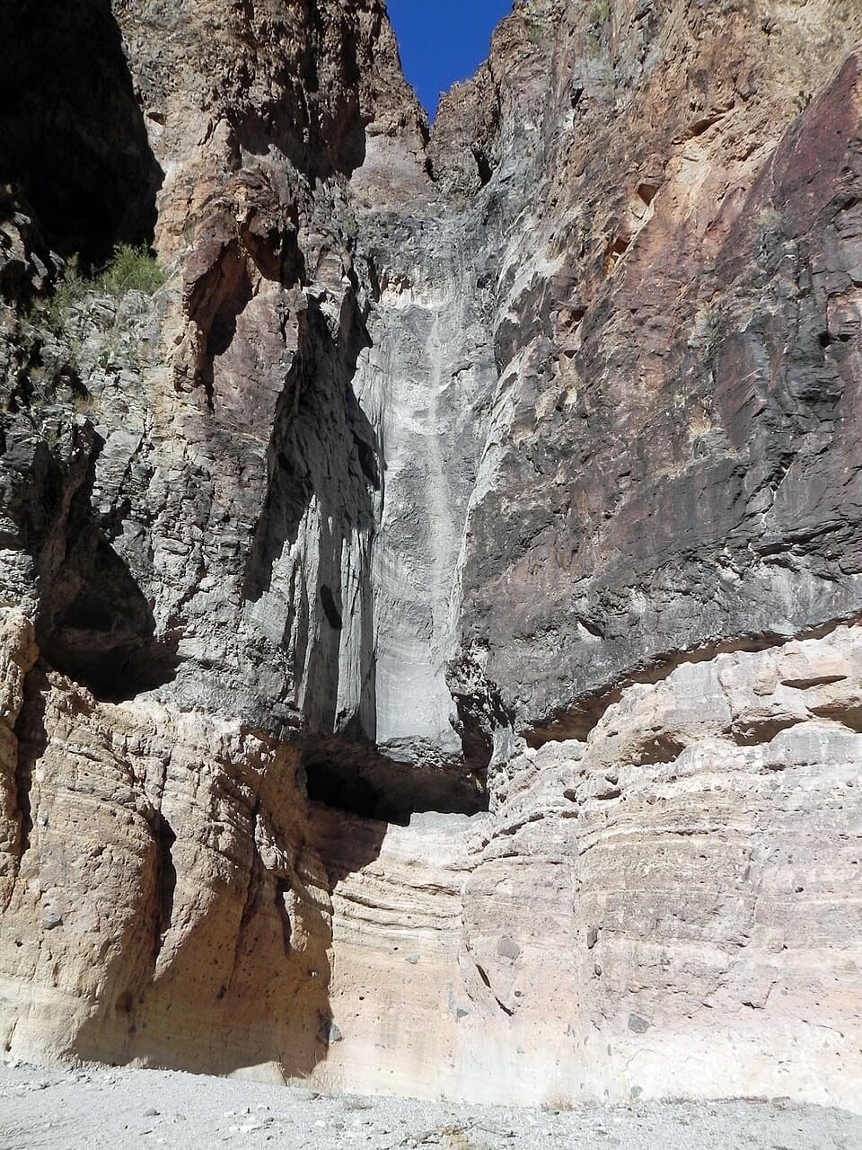 EasyLower Burro Mesa Pouroff Trail1 mi · 30 min · 13.1 mi awayA short wash walk to a 100-foot rock chute.
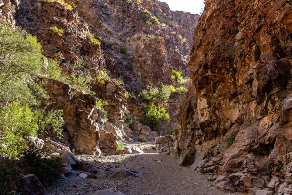 ModerateUpper Burro Mesa Pouroff Trail3.5 mi · 2.5 hr · 14.7 mi awayA sandy wash and boulder scrambles lead to a slick-rock grotto.
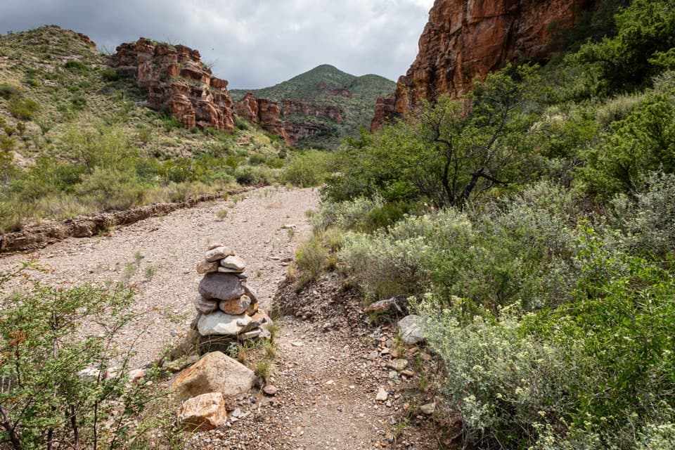 ChallengingBlue Creek Trail5.8 mi · 4 hr · 14.9 mi awayA red-rock wash walk with a hard climb into the Chisos.
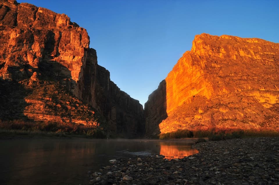 Sight · At the trailheadSanta Elena CanyonThe Rio Grande threads an eight-mile gorge of sheer limestone.
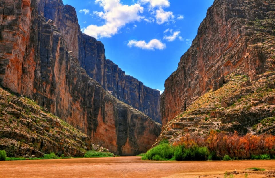 Sight · 0.4 mi awaySanta Elena Canyon OverlookA low river-level view into an 8-mile canyon.
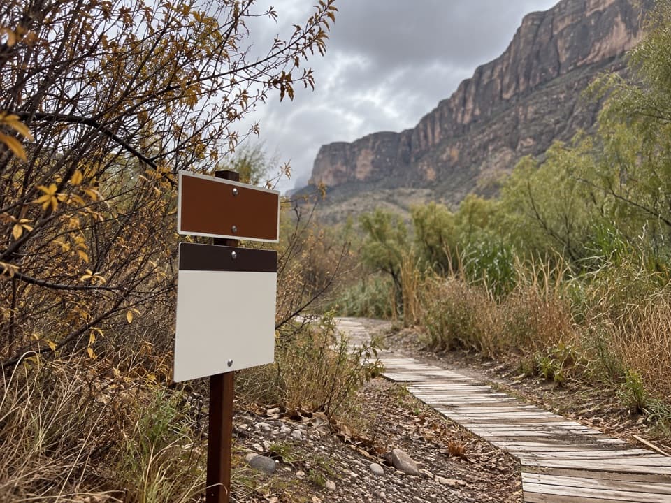 Sight · 1.1 mi awaySanta Elena Canyon River TakeoutA practical staging spot for Rio Grande paddlers.Sight · 2.1 mi awayDorgan-Sublett Historic SiteA Rio Grande farm with a petrified-wood fireplace worth seeing.
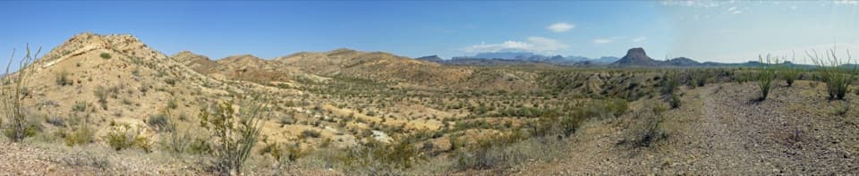 Scenic pullout · 4.6 mi awayDesert Mountain OverlookFind Emory Peak, the South Rim and Elephant Tusk from the road.
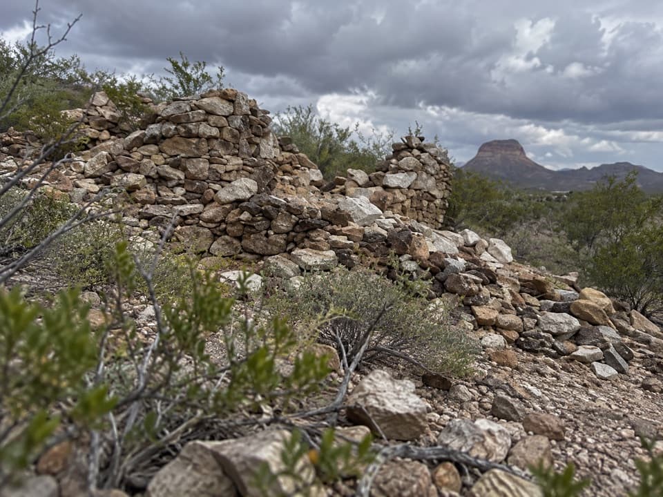 Sight · 4.7 mi awayLa CoyotaRuins of a farming community that sold food to miners.
 Sight · 5.6 mi awayLuna's JacalA low stone jacal with an earth-and-ocotillo roof.
 Campground · 5.7 mi awayCottonwood CampgroundA quiet, dry-camping base near Santa Elena Canyon.
Parkwolf’s Big Bend ranking
The audio tour guide for the drive, plus offline maps, trails, and wildlife heatmaps for when the signal drops.