
Place · 0.6 mi away
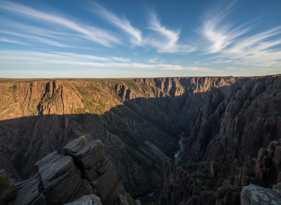
Deadhorse Gulch is a steep side drainage that drops into the Gunnison River corridor near the East Portal. It’s squarely in the park’s wilderness, so expect raw terrain and a quiet, remote vibe rather than a developed viewpoint or pullout.
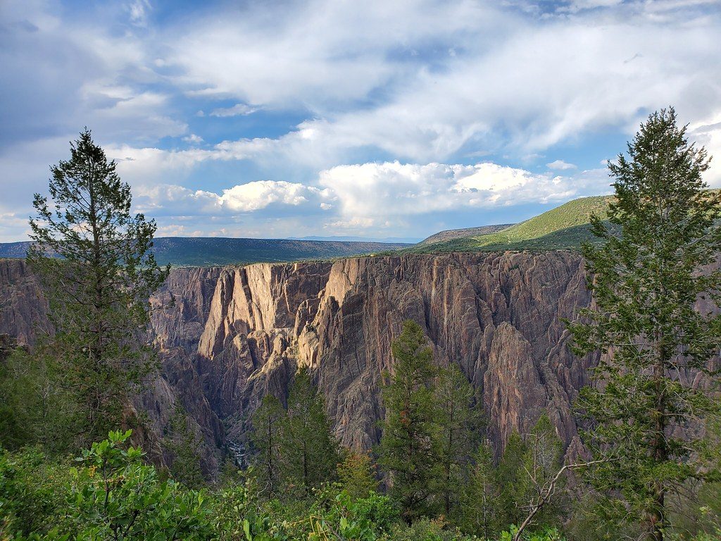
Think rugged, folded rock and a deep, narrow side canyon feeding the main Black Canyon. From nearby high ground you can look toward the gulch and the river far below. It’s more about solitude and geology than amenities.
There’s no signed trailhead, parking, restrooms, or other facilities at the gulch itself. It is not listed as a designated, maintained trail. Any Inner Canyon travel here falls under the park’s backcountry guidance, so plan accordingly. Black bears are present in this area—stay bear-aware and keep food secured.
Don’t mix up the places: Deadhorse Gulch is the drainage by East Portal; Deadhorse Trail is on the North Rim. The park notes that the North Rim trail enters wilderness and offers views toward Deadhorse Gulch and the East Portal area, but that trailhead and those overlooks are a different location.
There are no posted hours for the gulch itself—treat it like any wilderness drainage. If your goal is seeing the gulch from above via the North Rim’s Deadhorse Trail, plan around the North Rim’s seasonal winter closure window.
Place · 0.6 mi away
Place · 0.6 mi away
Place · 0.7 mi away
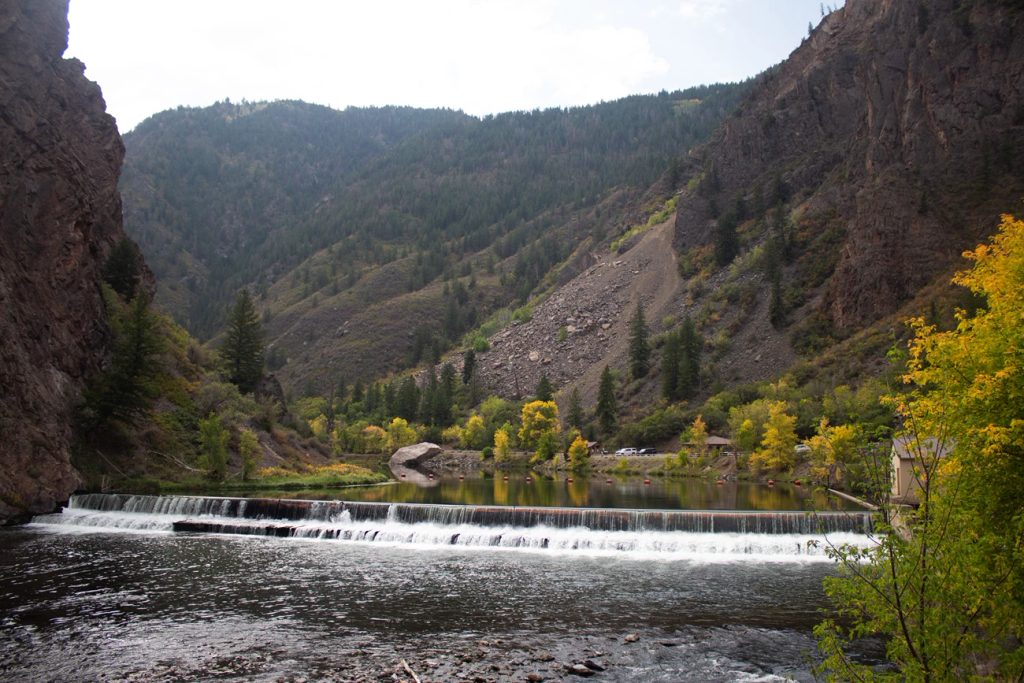
Place · 0.7 mi away
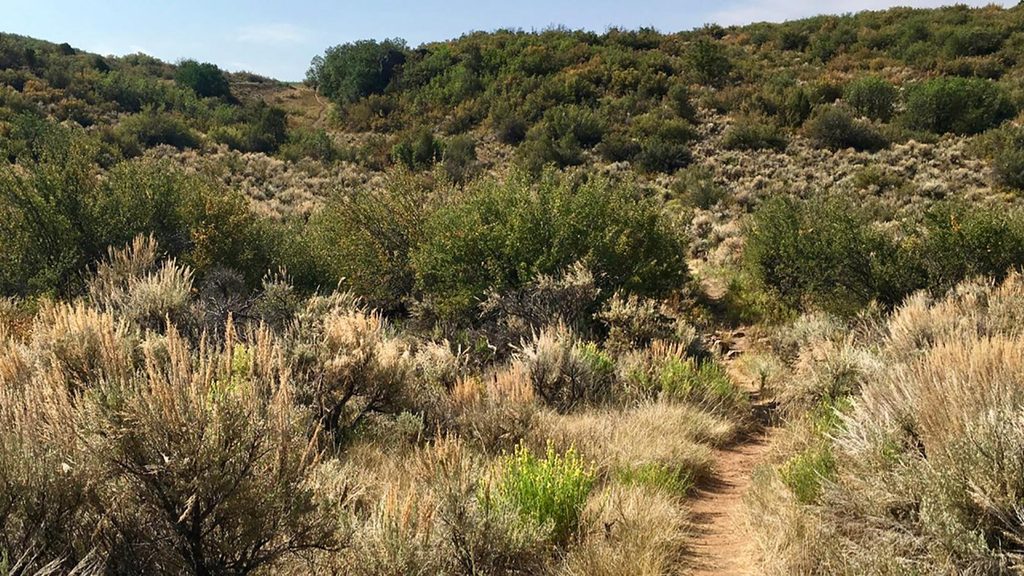
Moderate · 1.4 mi away
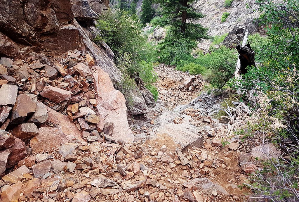
Challenging · 2.2 mi away
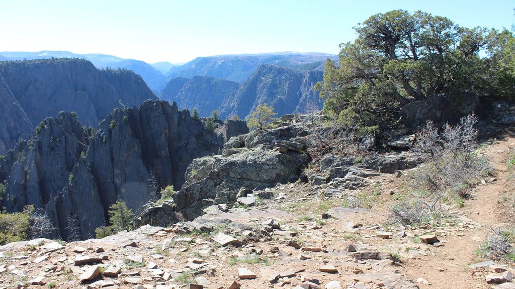
Easy · 2.3 mi away
Moderate · 2.4 mi away

Parkwolf Tour Guide
