
Place · 0 mi away
Easy
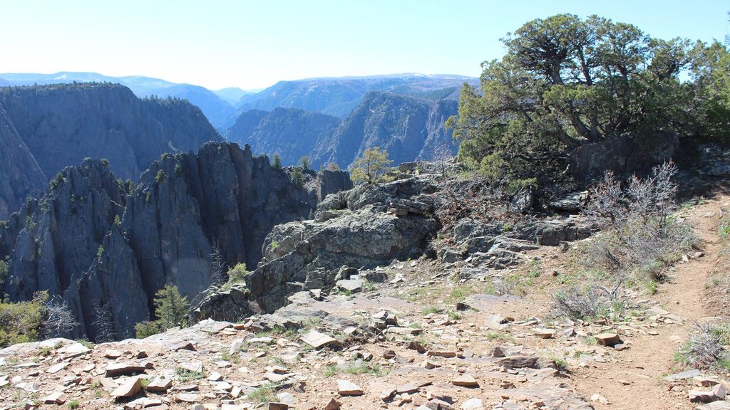
This short rim walk delivers a lot for very little effort. The Rim Rock Nature Trail runs roughly 1.0 mile one way along the South Rim between the South Rim Visitor Center and the South Rim Campground, with an additional access point at Tomichi Point (about halfway). It’s primarily flat but includes uneven, rocky stretches and a few stairs. Surface is unpaved and not wheelchair accessible.
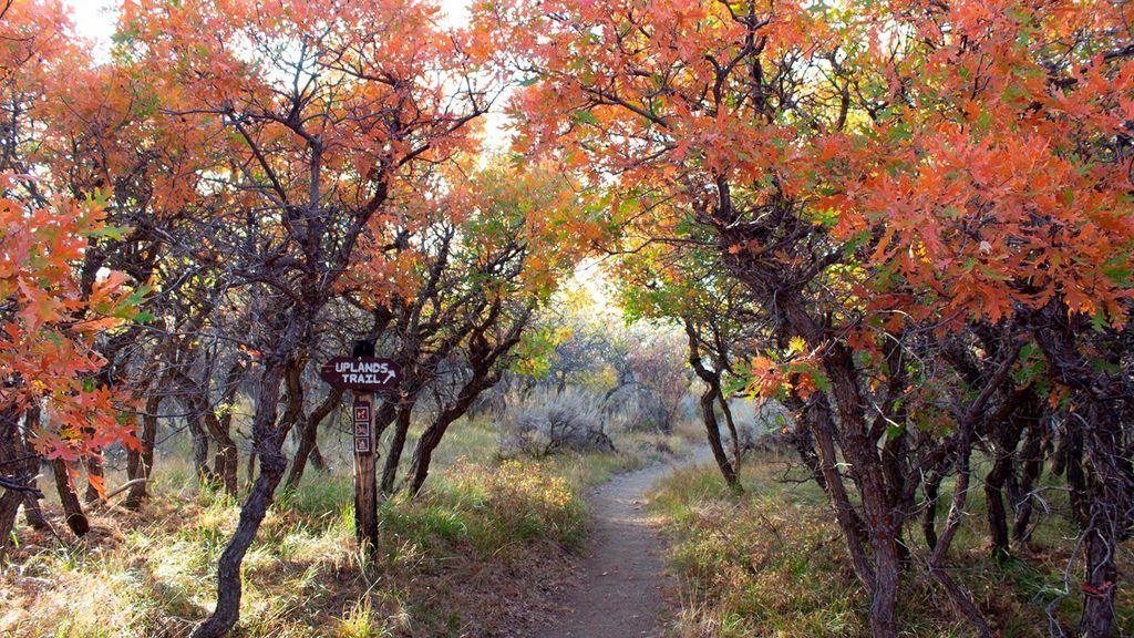
If you want a bit more distance without sacrificing the mellow vibe, combine Rim Rock with the adjacent Uplands Trail to create an approximately 1.9-mile loop. Expect minimal elevation change either way, making it approachable for most hikers.
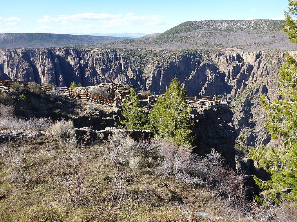
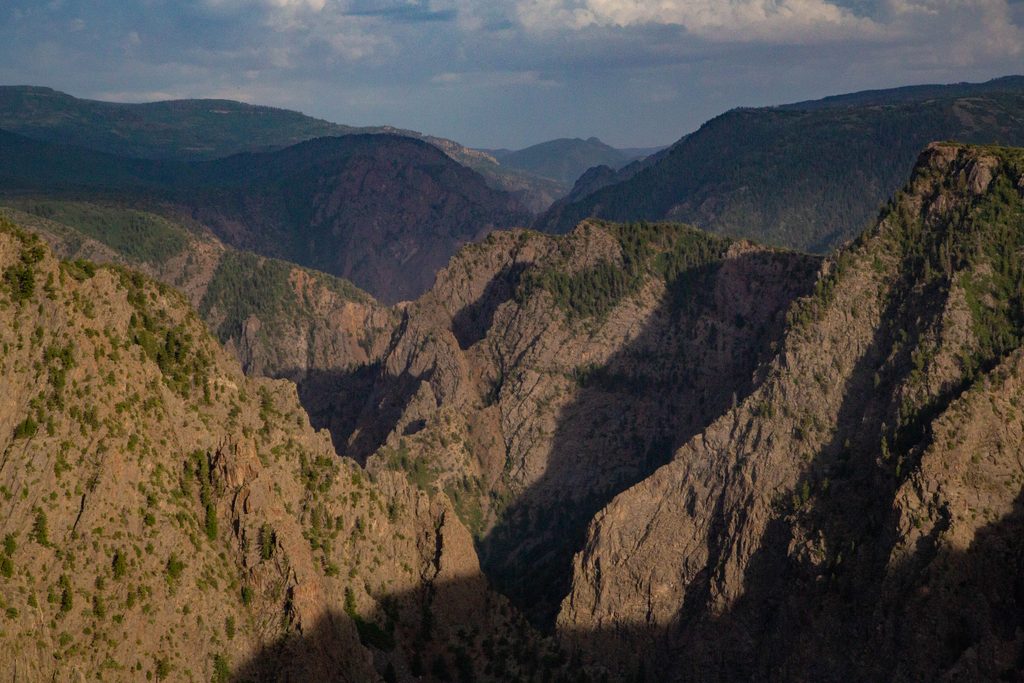
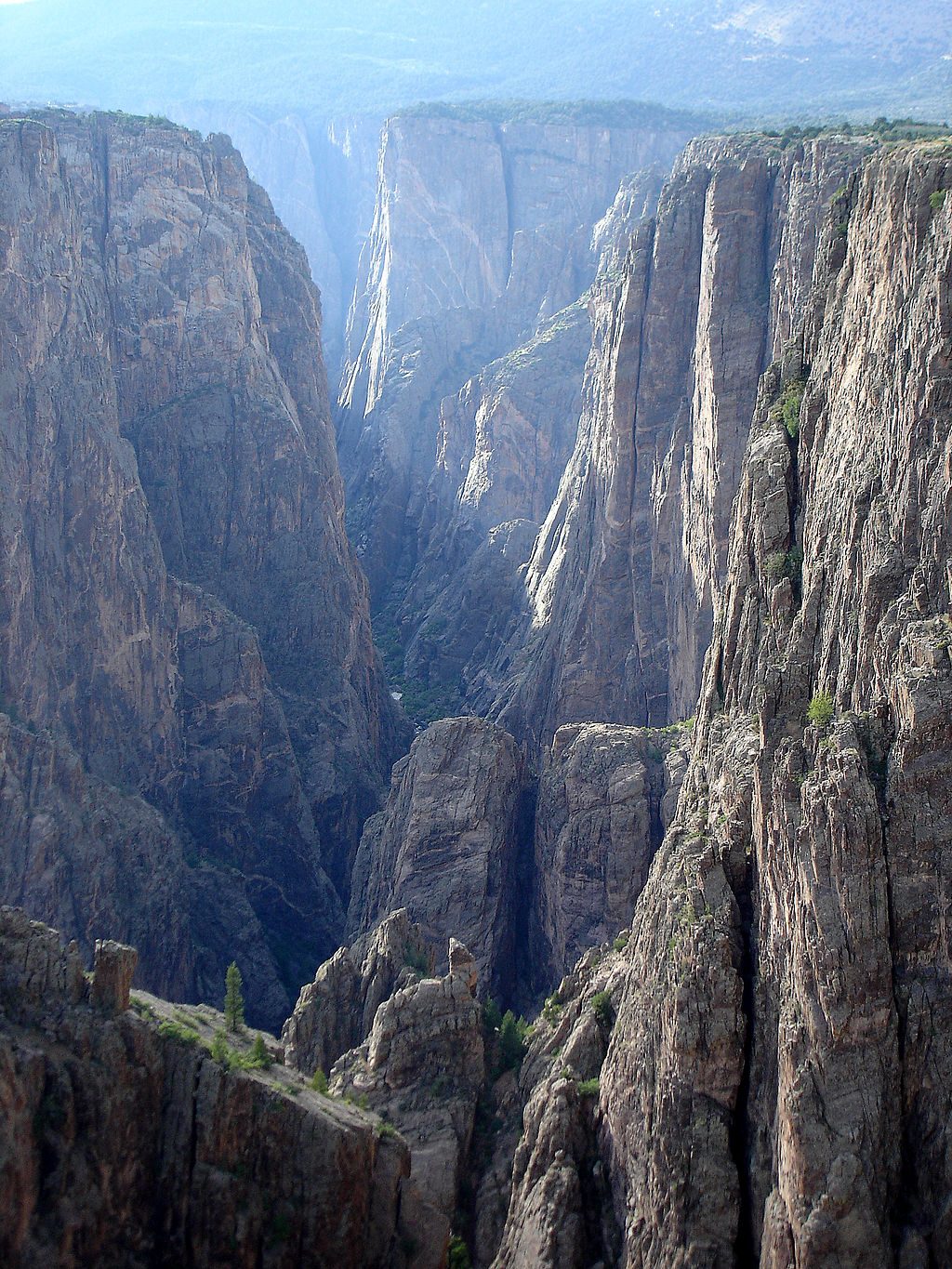
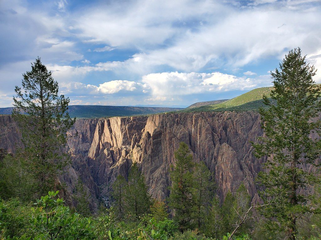
The payoff here is constant rim-side drama: sheer canyon walls dropping to the Gunnison River and wide panoramas that can include distant peaks like the West Elk Mountains. Tomichi Point breaks up the walk with a prime overlook and a natural pause spot. Keep an eye on the rock—this is a great place to notice bands of quartz and rugged metamorphic outcrops that define the Black Canyon’s personality.
Wildlife shows up most in the cooler hours. You may encounter deer (which can be protective in summer when fawns are present), plenty of birdlife, and, on occasion, black bears near the Uplands connection. Sections of light forest offer short stretches of shade and habitat.
First-time visitors, families, and campground guests love this one. It’s an easy way to link major South Rim hubs on foot and soak in rim views without committing to a longer, steeper hike. That said, parts of the trail run close to serious drop-offs—so keep kids close and save the selfies for the fenced viewpoints.
Spring through fall is prime for comfortable temps and clear views. Summer brings wildflowers and more wildlife activity—along with seasonal restrictions for pets due to protective deer. In winter, the path can hold snow and ice, making traction the main challenge. For photography and fewer people, aim for early morning or golden hour.
Primary parking at the South Rim Visitor Center; Tomichi Point is a good overflow and mid-trail access. Campground parking serves the opposite end.
Unfenced rim sections with steep drop-offs; uneven rocky footing and stairs; deer may be aggressive in summer; snow and ice possible in winter.
Place · 0 mi away
Place · 0 mi away
Place · 0.3 mi away
Place · 0.7 mi away
Moderate · 0 mi away
Challenging · 0 mi away
Easy · 0.2 mi away
Challenging · 0.3 mi away

Parkwolf Tour Guide
