
Place · 0 mi away
Challenging
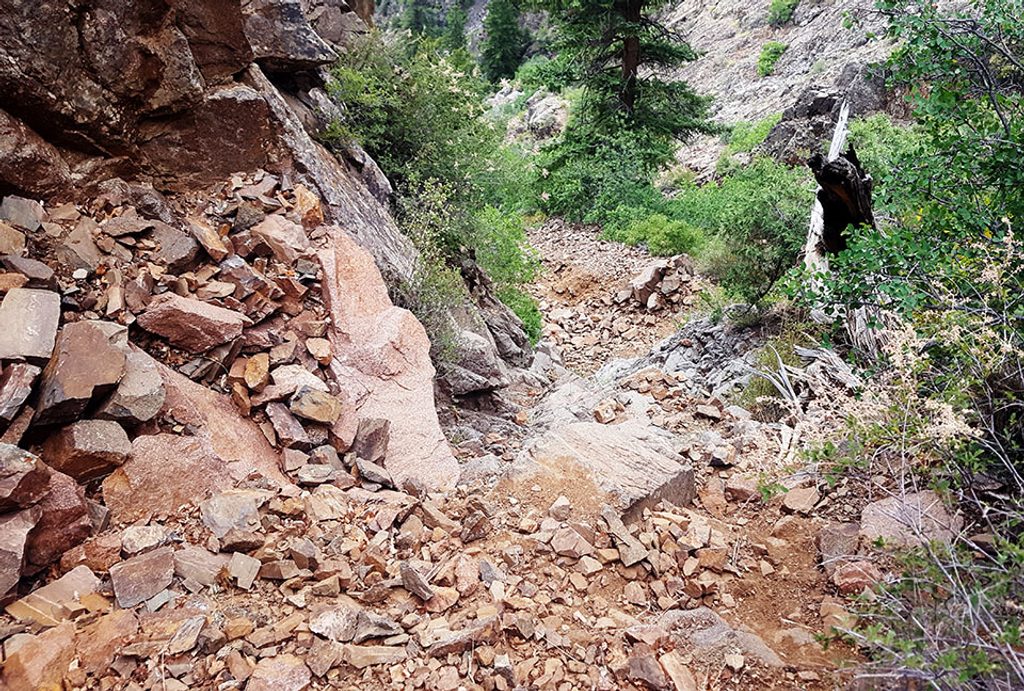
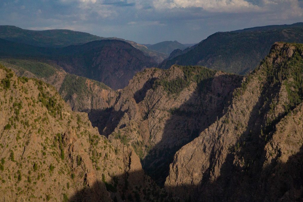
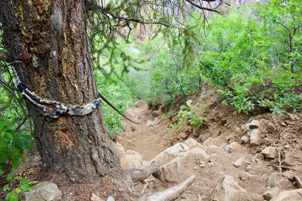
Tomichi is the South Rim’s full-value inner-canyon route: short on miles, huge on vert, and unapologetically rugged. From Tomichi Point (near the South Rim campground/visitor area), you’ll follow Rim Rock Trail to post #13, then leave the rim for a very steep, unmarked gully of loose dirt, scree, and broken rock. It’s roughly 1 mile one way to the Gunnison River and about 2 miles round trip, but don’t let the distance fool you—the route drops nearly 1,960 feet in that single mile.
This is not a trail; it’s a primitive descent on constantly shifting rock where hands-on scrambling is the norm, especially higher up. Expect full sun exposure, careful footing, and slow, deliberate movement. The canyon tightens as you approach the bottom, funneling you into one of the Black Canyon’s narrower sections—beautiful and intimidating in equal measure—with the river as your turnaround or campsite if you have an overnight permit.
Plan 4–6 hours round trip. Typical parties take about 1.5 hours to descend and 4.5+ hours to claw back up. It’s non-technical but extremely strenuous, and ascents feel endless on loose slopes. Only attempt if you’re confident on steep, unmarked terrain and in excellent condition.
A wilderness use permit is required for all inner-canyon travel (day or overnight). Pets are not allowed. If you’re camping, you can stay up to three nights at river sites; bear-resistant food storage is recommended.
You’ll descend through the Black Canyon’s dark, ancient metamorphic rocks—gneiss and schist—sculpted by the Gunnison River. The close-quarters walls, the raw texture of the rock, and the river’s roar below make this an immersive geology lesson you feel in your legs.
If you want a demanding, once-and-done kind of challenge with dramatic payoff and real commitment, Tomichi delivers. If you prefer maintained tread and straightforward navigation, this won’t be fun—pick a rim trail instead.
Park at Tomichi Point overlook or near South Rim Campground; walk Rim Rock Trail to post #13 to reach the top of the route.
Extremely steep, unmarked scree and rock chutes; expect hand-and-foot scrambling, rockfall potential, and grueling ascent. Start early, carry 4+ liters per person in summer, and filter at the river. In winter, snow/ice may require traction, snowshoes, and an ice axe. Permits required; pets prohibited.
Place · 0 mi away
Place · 0.3 mi away
Place · 0.3 mi away
Place · 0.5 mi away
Easy · 0.3 mi away
Moderate · 0.3 mi away
Easy · 0.3 mi away
Challenging · 0.3 mi away

Parkwolf Tour Guide
