
Place · 0 mi away
Moderate
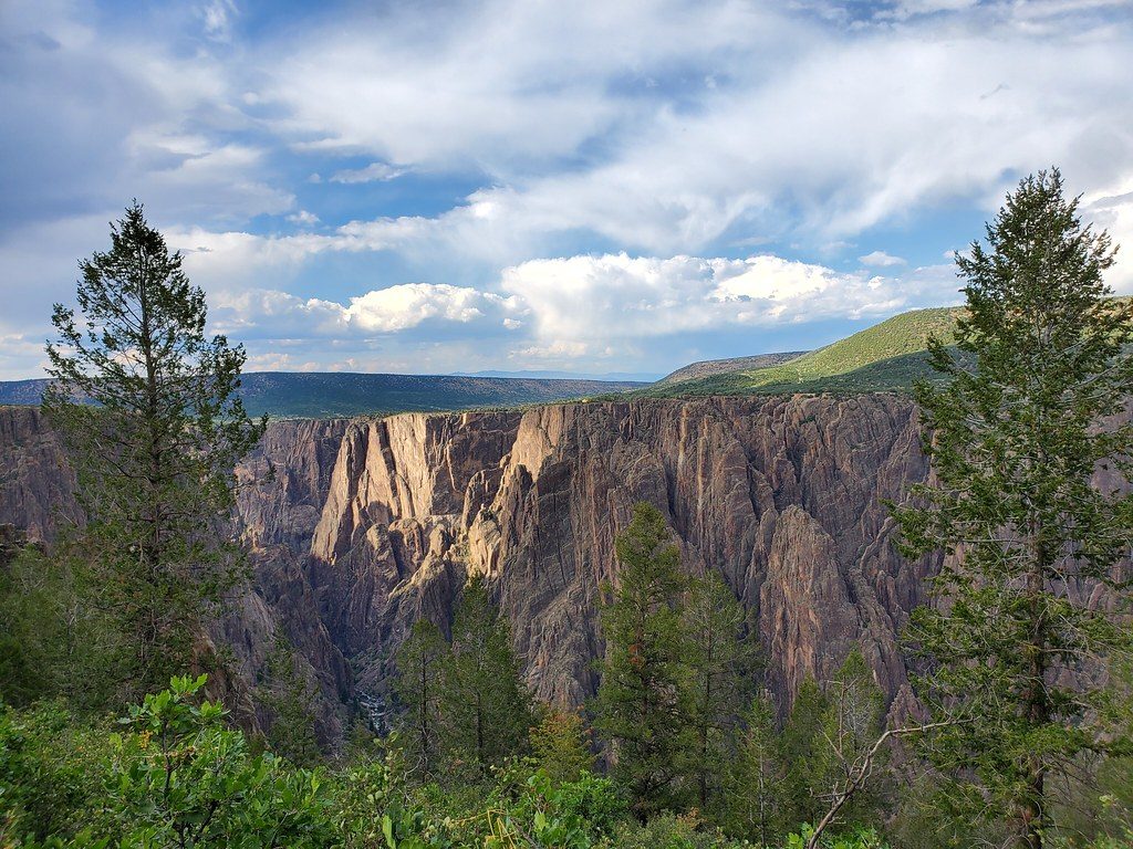
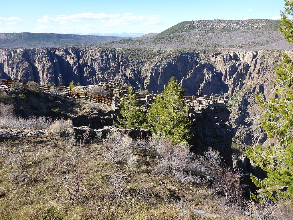
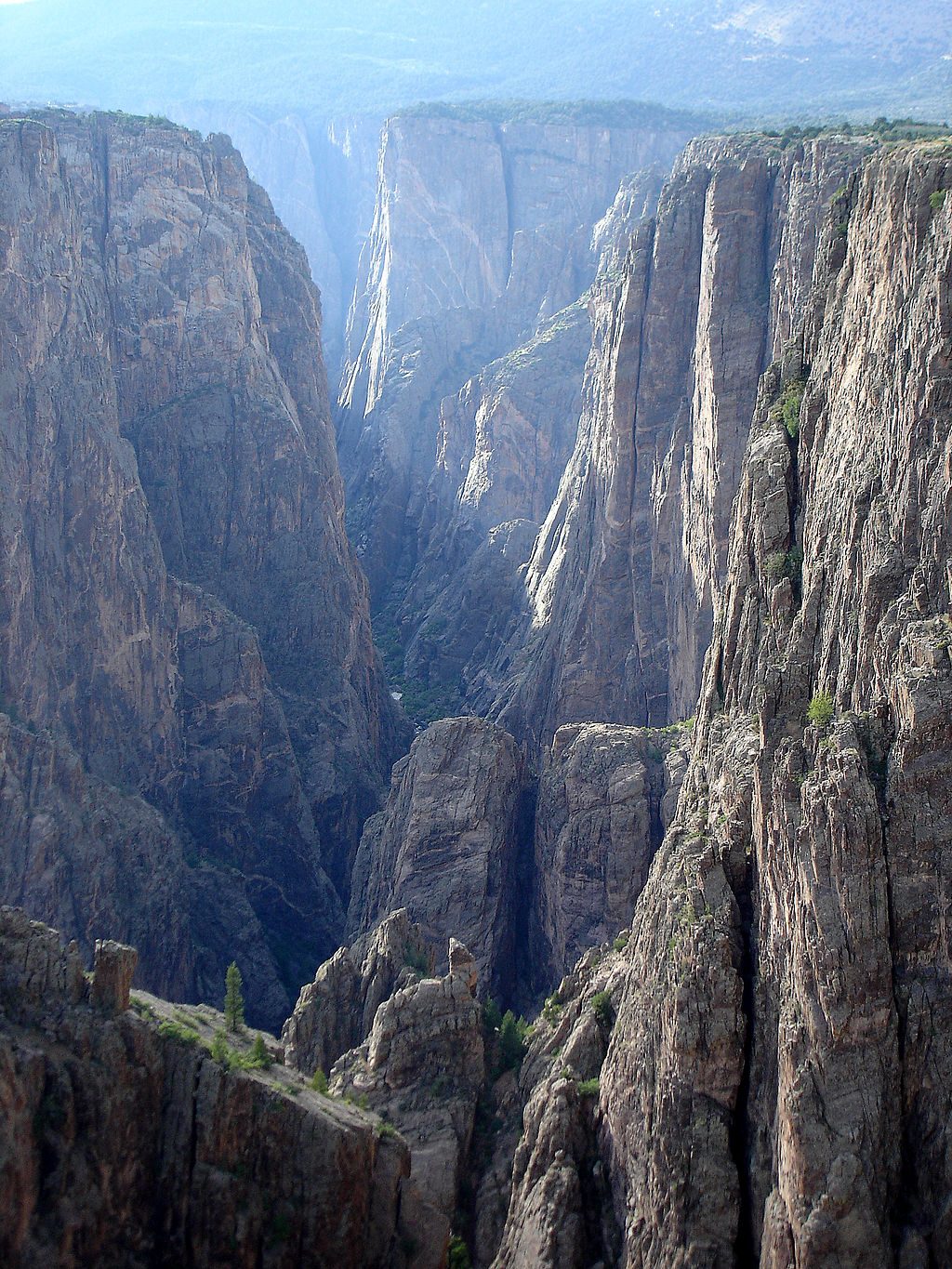
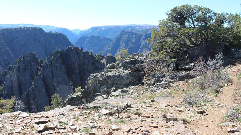
Oak Flat Loop is the South Rim’s sampler platter: a short loop that drops 300–350 feet below the rim, threads through Gambel oak and pinyon–juniper, and pops out at frequent cliff‑edge viewpoints into the Black Canyon. Most sources put the loop between 1.4 and 2.0 miles total (expect about 1.6 miles), and most hikers take 1–1.5 hours. It starts and ends at the South Rim Visitor Center, so you can step out of your car and be in the canyon’s drama in minutes.
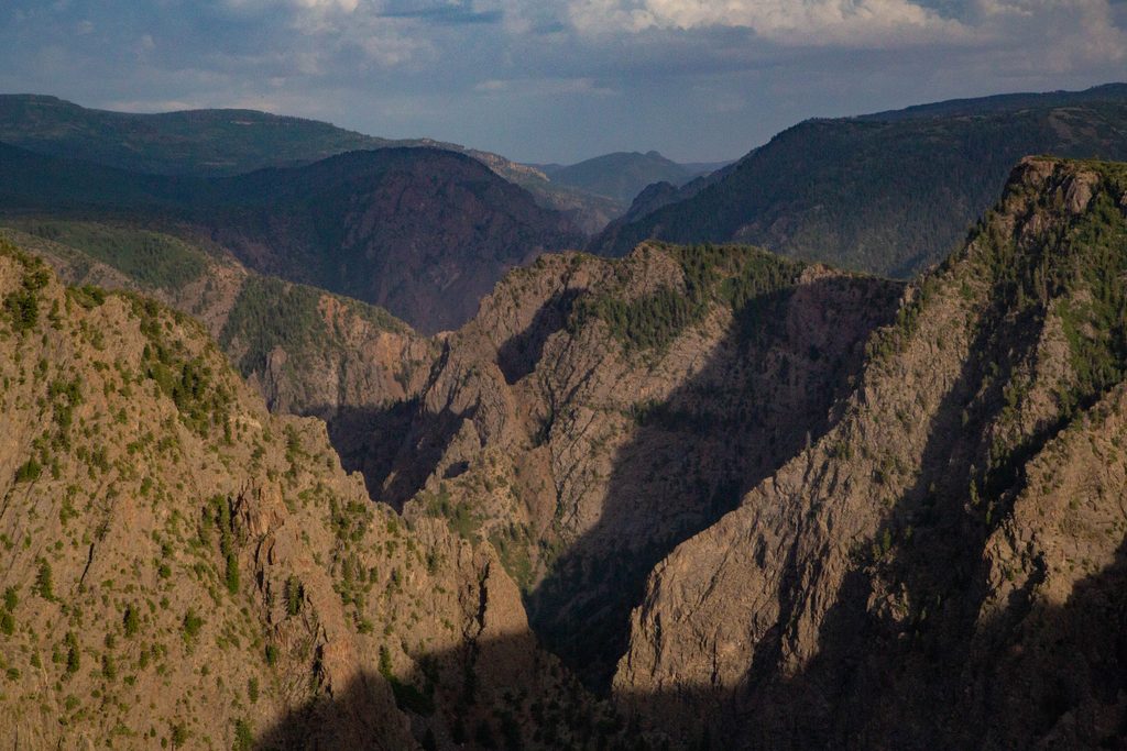
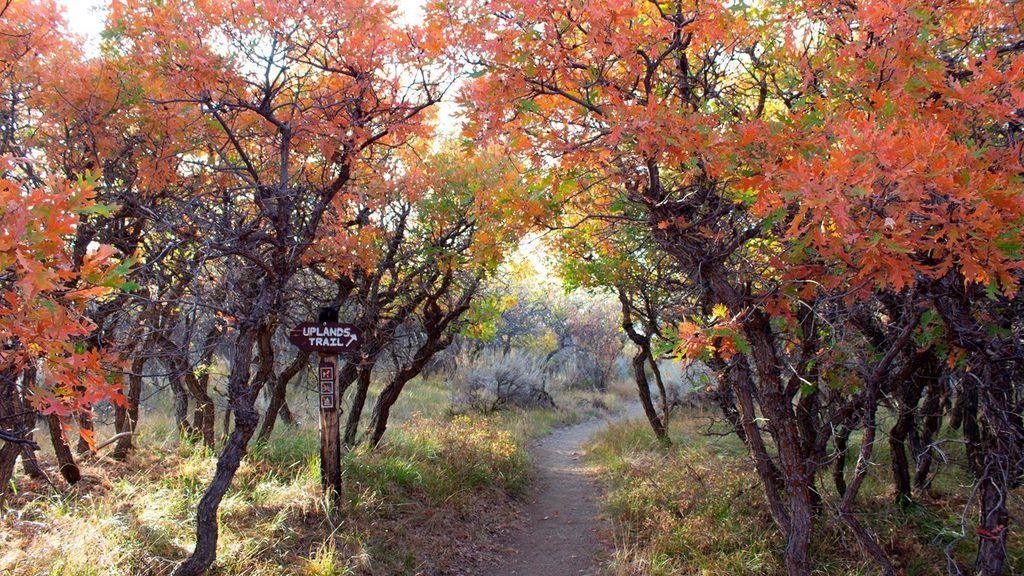
From just below the rim, the canyon’s walls feel close and steep, with dark Precambrian gneiss and schist cut by lighter bands that jump in photos. You’ll weave through stands of Gambel oak (the trail’s namesake) with Douglas fir, aspen, and chokecherry mixed in—more shade than the rim overlooks, but still plenty of sun. Glimpses of the Gunnison River appear far below, and you may hear it on quiet days.
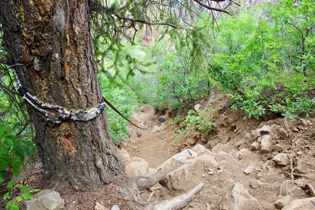
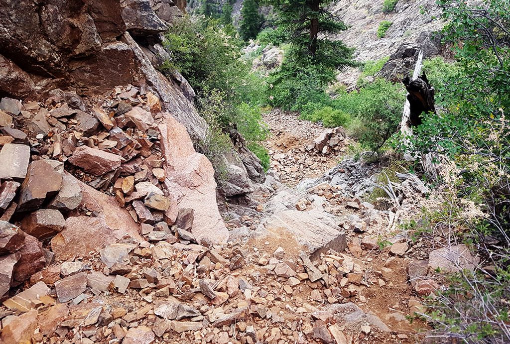
This is short but stout. The first half‑mile drops quickly via rocky tread, switchbacks, and built stairs; later the loop contours a narrow bench with occasional exposure before a longer, more gradual climb back to the Visitor Center. Footing can be loose and narrow in spots, and there are a few small bridges. Keep kids close; this is not a great choice for toddlers.
Deer are common and black bears are occasionally seen—especially late summer and fall when acorns are on the menu. Spring through fall is the sweet spot: spring wildflowers and cool air, summer warmth tempered by pockets of shade, and golden oak in fall. In winter the loop is not maintained; snow and ice linger and traction may be needed.
Yes—this is the quickest way to get a true “below‑the‑rim” feel without committing to an inner‑canyon route. If you want something even bigger and are prepared for more effort and risk, the inner‑canyon routes are a different beast entirely; for most visitors, Oak Flat hits the sweet spot of time, effort, and views.
Park at the South Rim Visitor Center; the trailhead and stairs are directly adjacent to the building near Gunnison Point.
Narrow tread with steep drop‑offs and loose rock; keep children close. Unmaintained in winter—snow/ice common. Bears are active in late summer/fall; make noise and give wildlife space. No pets.
Place · 0 mi away
Place · 0 mi away
Place · 0.3 mi away
Place · 0.7 mi away
Challenging · 0 mi away
Easy · 0 mi away
Easy · 0.2 mi away
Challenging · 0.3 mi away

Parkwolf Tour Guide
