
Place · 0 mi away
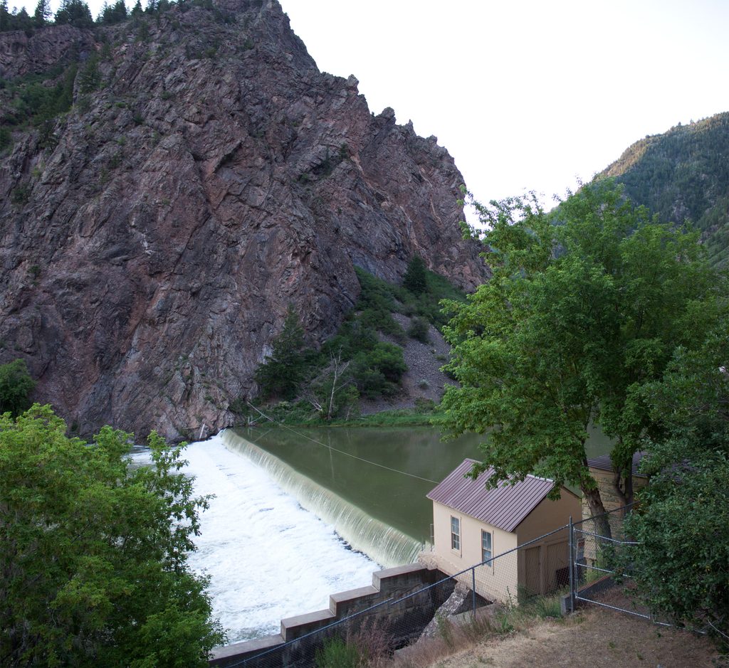
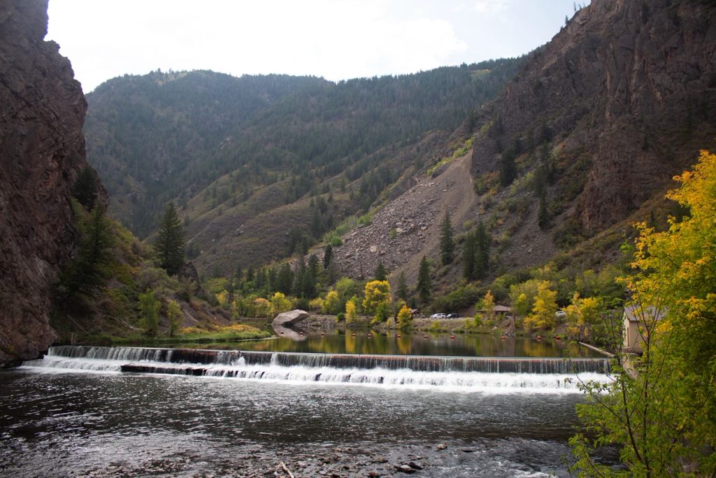
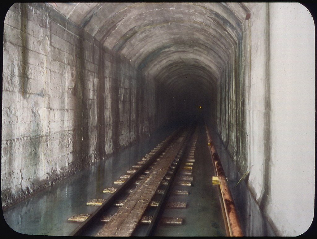
Set at river level at East Portal, the Gunnison Diversion Dam is more about the story than the looks. It marks the beginning of the 5.8‑mile Gunnison Tunnel, an early‑1900s engineering feat that sends Gunnison River water beneath Vernal Mesa to irrigate the Uncompahgre Valley—tens of thousands of acres rely on it. East Portal itself lies within Curecanti National Recreation Area, but you can only reach it from the South Rim via East Portal Road.
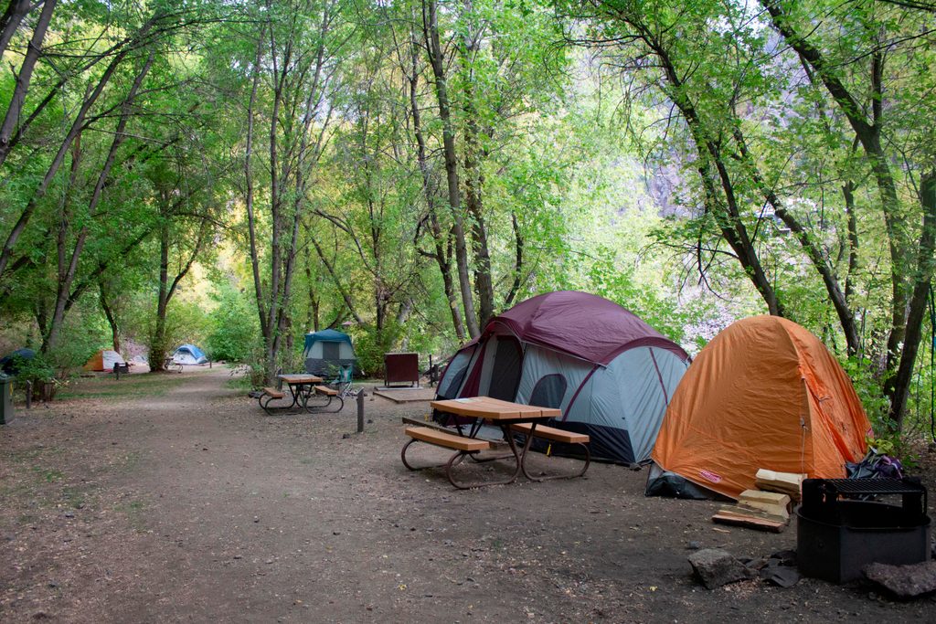
Expect a modest, utilitarian dam framed by sheer, ancient canyon walls and a fast, energetic river. You’ll find basic facilities at river level—parking, vault toilets, and a picnic area—plus the East Portal Campground nearby. Interpretive signs tell the dam-and-tunnel story. There’s informal walking along the river downstream; anglers use it most, and it can get rough where rockfall has piled up.
When completed in 1909, the Gunnison Tunnel was the longest irrigation tunnel of its kind and a model for Western water projects. The dam and tunnel transformed the region’s agriculture by diverting water to the Uncompahgre Valley. Standing here, you’re at the literal starting line of that diversion.
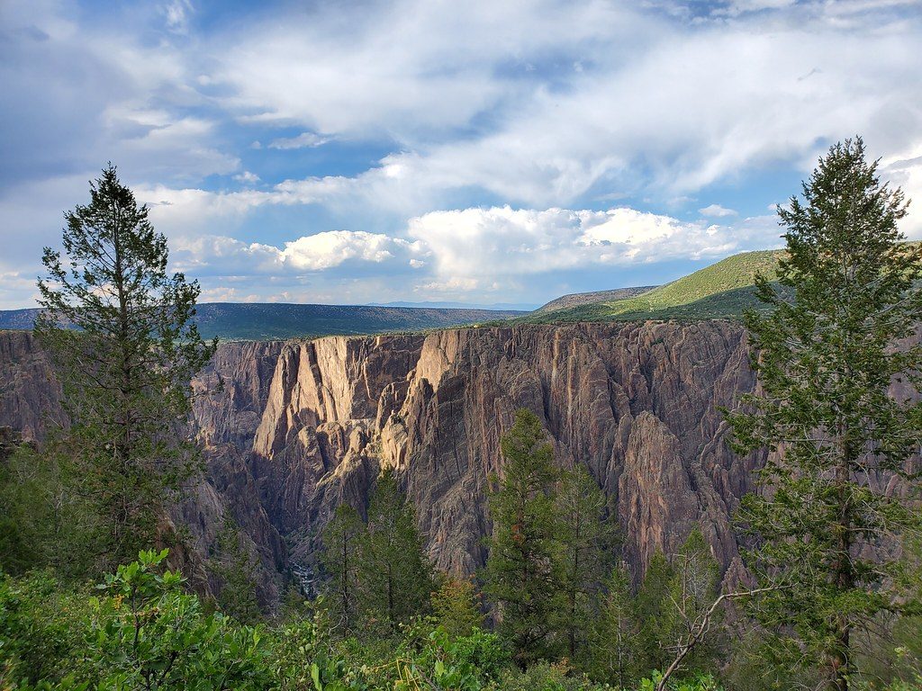
The Gunnison drops steeply through the Black Canyon—about 43 feet per mile—so the flow here feels powerful. You’re hemmed in by hard, ancient metamorphic rock, which helps explain the canyon’s narrow, dramatic profile. Upstream dams now regulate flows before the river enters the park, so conditions you see are managed rather than purely natural.
Reach the dam via the steep, winding East Portal Road from the South Rim. It’s a scenic descent the park promotes as a worthwhile drive, but take it slow; vehicles over 22 feet are not allowed. Services are extremely limited: vault toilets are the only restrooms, there’s no potable water, food, fuel, or Wi‑Fi, and cell service is unlikely.
Deer are frequently spotted along the road and near the river. The riparian corridor supports a mix of birds and small wildlife—keep your eyes and ears open around the willows and box elders.
This is a short, low-crowd stop compared to the rim overlooks. Pair it with the scenic drive down East Portal Road when conditions are good, and linger by the river if you’re interested in the interpretive history or a quiet picnic.
Place · 0 mi away
Place · 0.2 mi away
Place · 0.2 mi away
Place · 0.7 mi away
Moderate · 2.1 mi away
Challenging · 2.7 mi away
Easy · 2.9 mi away
Moderate · 2.9 mi away

Parkwolf Tour Guide
