Pros & cons
PROS
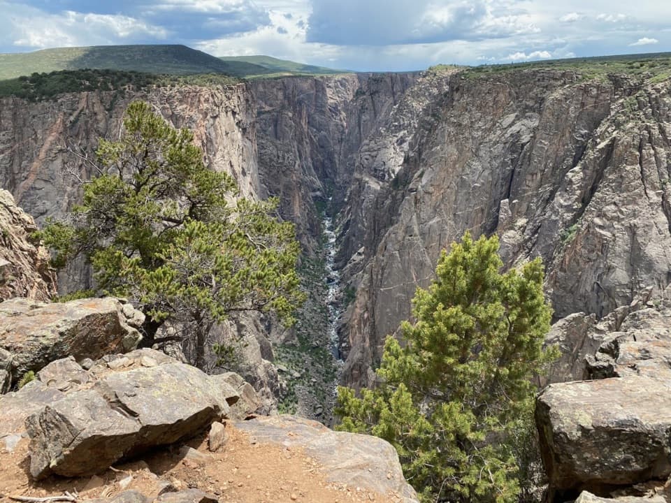
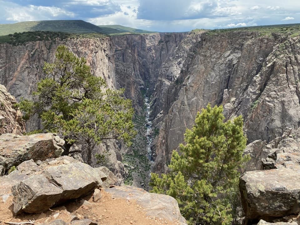
- Dramatic Gunnison Point overlook sits directly behind the building
- Exhibits, info desk, and map/book sales to plan your day
- Seasonal water fill and vault toilets; parking for cars and RVs
CONS
- Water is trucked in and often seasonal—fill sparingly
- Summer parking can fill quickly
Overview
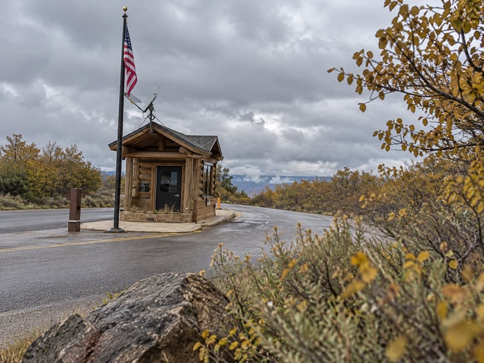
The South Rim Visitor Center is the park’s hub for orientation, perched at Gunnison Point on South Rim Drive. It’s open year‑round and designed to get you up to speed on the canyon’s geology and history before you start exploring.
What You’ll Find
- Hands-on exhibits about the Black Canyon’s formation and stories, plus an information desk staffed by rangers.
- Map and book sales to fine-tune your route and pick up trail intel.
- Vault toilets and seasonal drinking water (all water here is trucked in—use it conservatively).
- Parking for cars and some RVs/buses; expect it to be busy in peak months.
Views & Nearby Trails
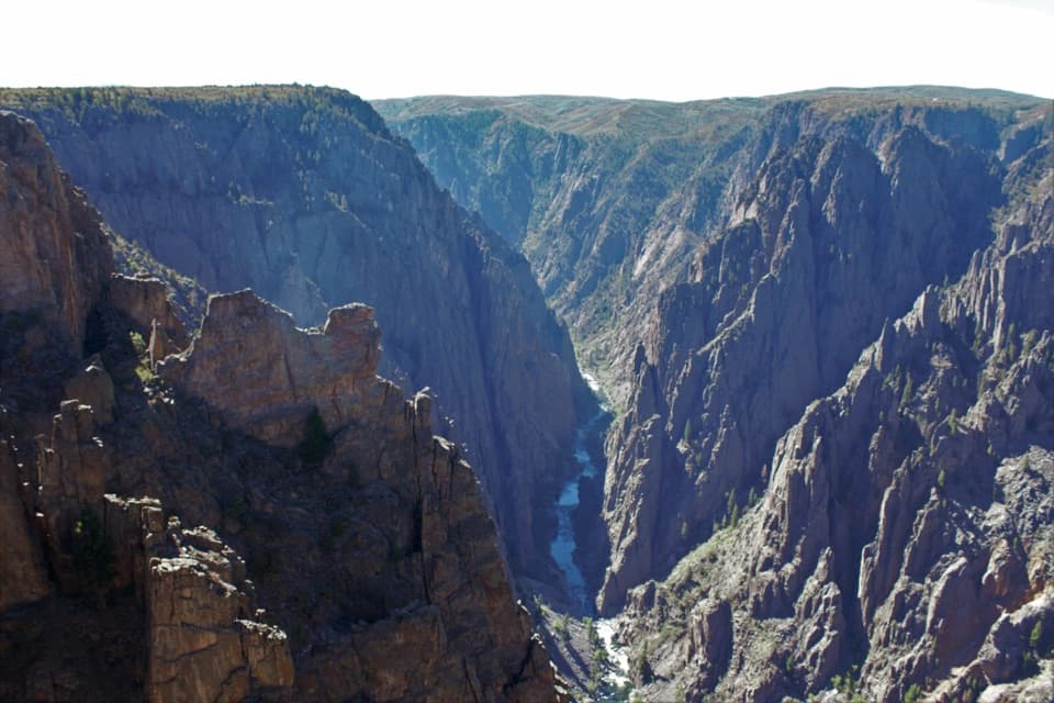
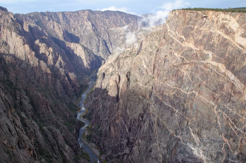
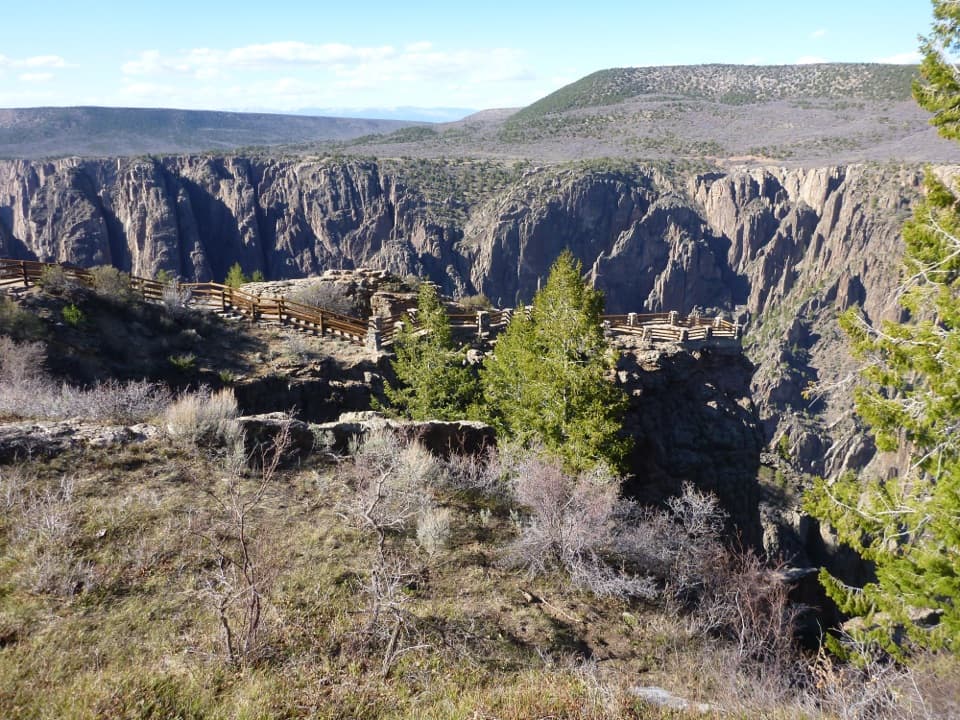
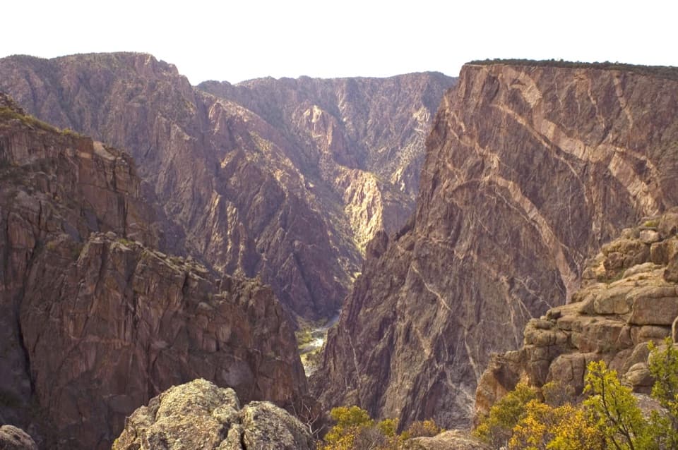
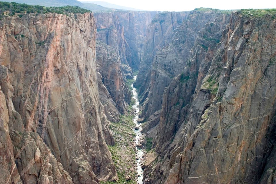
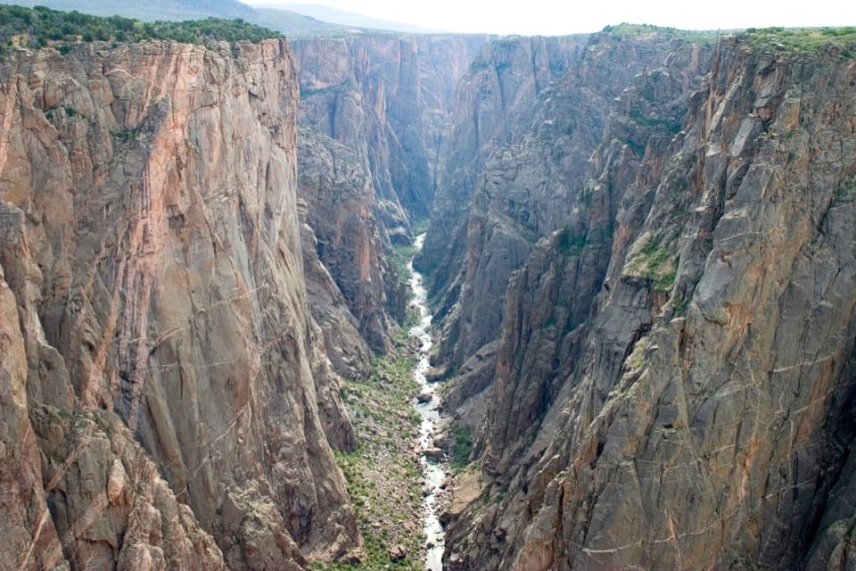
Walk a few steps out the back to Gunnison Point for a knockout, cliff-edge panorama—one of the most accessible “wow” moments on the South Rim. Several trails start near the visitor center, and this is where you get oriented for the scenic South Rim Drive. Inner-canyon travelers should know that permits for the strenuous Gunnison Route are arranged here.
Seasons & Conditions
In winter and early spring, vehicle travel on South Rim Drive typically ends just past the visitor center. Beyond that closure, the road becomes a route for cross‑country skiing and snowshoeing when conditions allow.
Wildlife & Geology
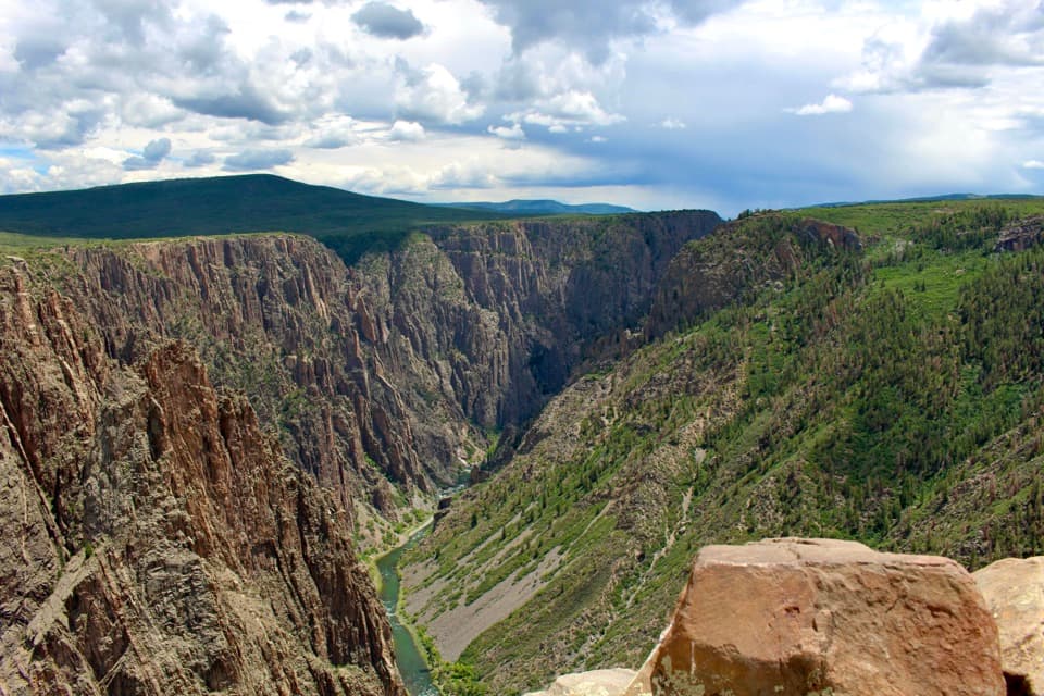
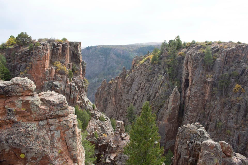
Inside you’ll find exhibits that make sense of the canyon’s ancient rocks and the river that carved them. Rangers can share current wildlife notes and where recent sightings have happened.
Best Time to Visit
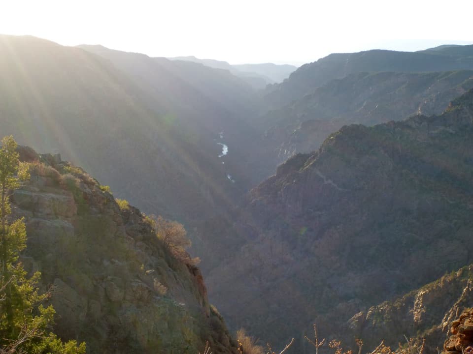
Arrive early (before mid‑morning) or come late afternoon to dodge the midday crunch and make parking easier—especially on summer weekends. Morning and golden-hour light at Gunnison Point flatters the canyon’s depth and striations. The building operates daily year‑round, but water is seasonal; plan to bring plenty and top off sparingly.
Quick Tips
- Start at Gunnison Point right out back for an instant payoff.
- Ask rangers about current road/trail conditions and seasonal closures.
- If you’re considering the Gunnison Route, handle permit details here before committing.
Where it is
38.5550, -107.6866Tips for South Rim Visitor Center
- 01Arrive before mid‑morning in summer to beat parking congestion.
- 02Bring plenty of water; top off sparingly as supplies are trucked in and seasonal.
- 03Ask about current road and trail conditions—winter closures begin just past here.
- 04Step out back to Gunnison Point first for a quick, spectacular orientation.
- 05Handle Gunnison Route permit details at the desk before planning your descent.
Amenities
Near South Rim Visitor Center
All places →All trails →
0 mi awayRim Rock Nature TrailEasy South Rim stroll with big canyon views and wildlife chancesEasy · 1 mi · 1 hr
0 mi awayOak Flat Loop TrailShort, below-the-rim loop with big canyon drama and quick accessModerate · 1.6 mi · 1.3 hr
0 mi awayGunnison RouteShort, brutal drop to the Gunnison River with chains and screeChallenging · 2.7 mi · 5 hr
0 mi awayGunnison PointBig-canyon views steps from the South Rim Visitor CenterScenic Viewpoint · Parking
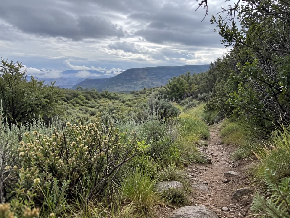
0.2 mi awayUplands TrailQuiet oak and meadow stroll between campground and Visitor CenterEasy · 0.9 mi · 30 min
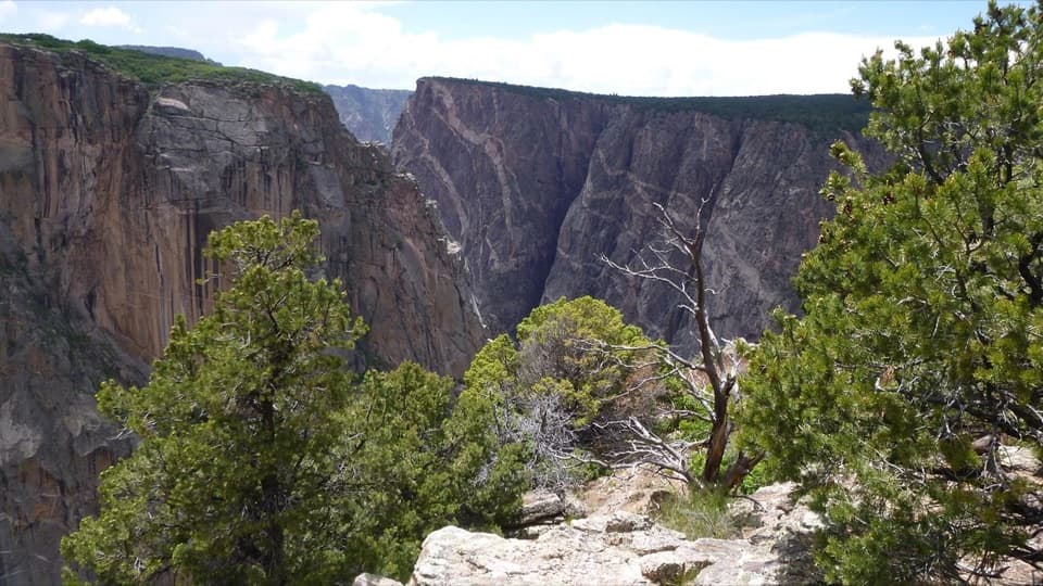
0.3 mi awayTomichi PointFirst-stop overlook with big canyon views and easy accessTrailhead · Pullout
0.7 mi awayKneeling Camel ViewQuick North Rim stop with a camel-shaped rock viewPullout · Parking
0.8 mi awaySouth Rim CampgroundRim-top campground with dark skies and easy access to overlooksRestroom · Parking