
Place · 1.5 mi away
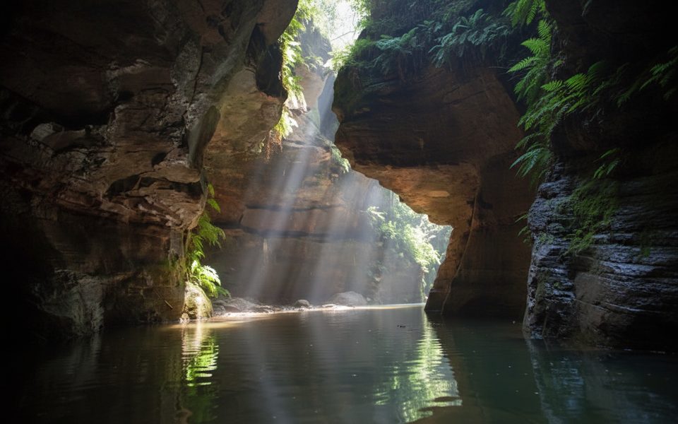
Claustral Canyon is a deep, narrow sandstone slot near Mount Tomah, famous for its committing entry through the “Black Hole of Calcutta” — three near-vertical waterfall abseils that drop you into a dark, cave-like chamber. Inside, the walls soar and squeeze, ferns and moss coat the rock, and shafts of sunlight create a natural cathedral feel. Expect a truly immersive canyoning day that combines abseiling, swims (including a noted tunnel swim), wading, and boulder-hopping.
You’ll travel through primeval-feeling rainforest microclimates with dense ferns, mosses, and occasional fungi. In darker sections, glow worms may be seen. Streams in the system can host sizeable freshwater crayfish (yabbies), and you may notice color variation. Birds and small forest mammals are more commonly seen in the surrounding bush than deep in the slot.
Carved over millions of years in Triassic sandstone, Claustral is a showcase Blue Mountains slot: towering walls, tight constrictions, vertical waterfalls, and deep pools. It’s celebrated among canyoners for the combination of technical entry and long, sculpted corridors that feel remote and pristine.
This is not a beginner canyon. Strong fitness, solid abseil skills, and canyoning experience are essential. The water is cold year-round; wetsuits, helmets, harnesses, proper abseil gear, sturdy shoes, and dry bags are standard. Navigation on the exit is notoriously easy to botch, so study it in advance. Never go solo, leave a trip intention with someone, and carry a PLB — coverage is unreliable. Check current requirements and any alerts with NSW National Parks before committing.
Access is from Bells Line of Road via a signposted track. Infrastructure is minimal: an informal pull-in/roadside parking area and a clear trailhead — and that’s it. No toilets, no potable water, no picnic facilities, and no shops at the start or along the route. Treat this as a self-sufficient wilderness day.
Summer is the most forgiving season thanks to warmer air temperatures and reduced hypothermia risk. Avoid recent heavy rain or high flows. Crowds are usually low — only a few hundred tackle it each year — but start at first light to maximize daylight and keep options open if the exit takes longer than expected.
For experienced canyoners, Claustral is bucket-list material: dramatic abseils, ethereal light, and a sense of true wilderness. For casual hikers, it’s not the right choice — there’s no easy viewpoint payoff without committing to the full technical descent.
Place · 1.5 mi away
Place · 2.8 mi away
Place · 2.9 mi away
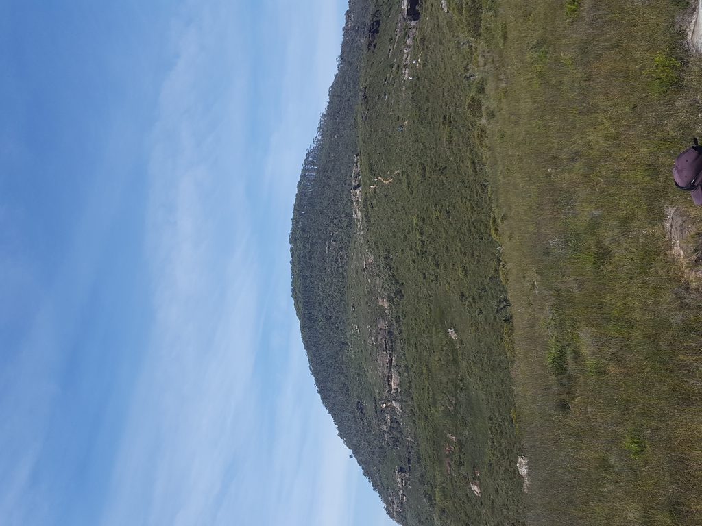
Place · 3 mi away

Challenging · 0 mi away
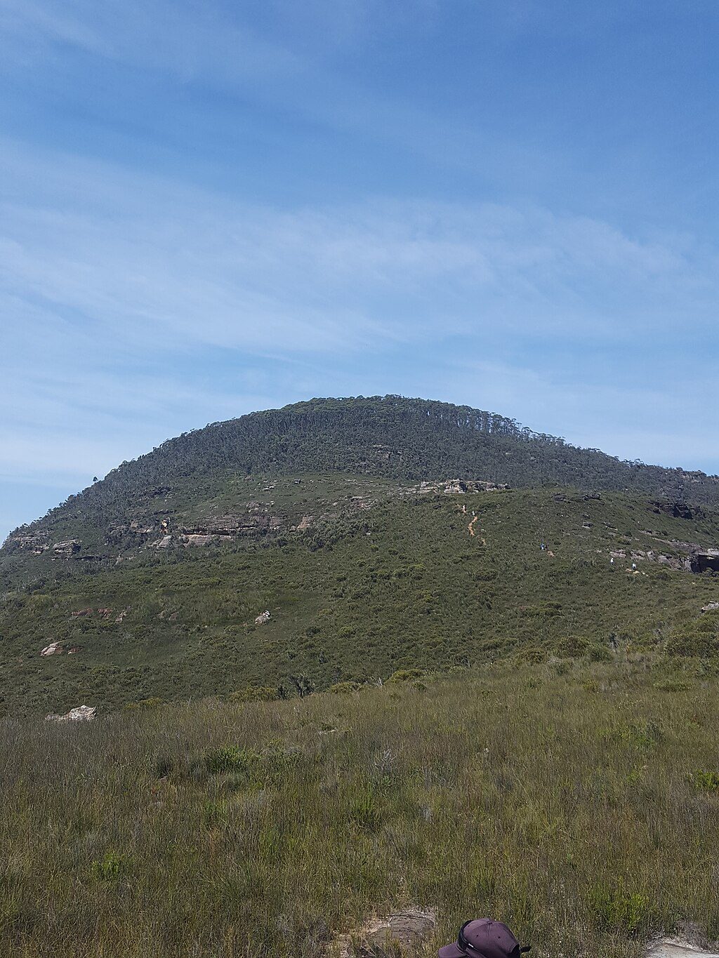
Challenging · 2.8 mi away
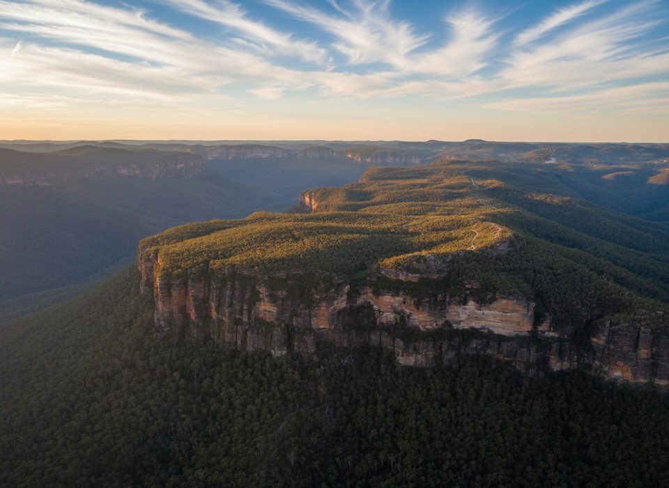
Challenging · 3.8 mi away
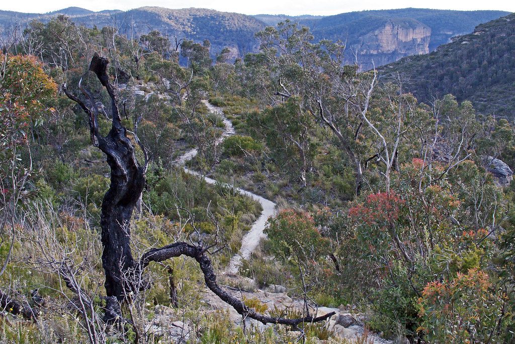
Easy · 3.8 mi away

Parkwolf Tour Guide
