Pros & cons
PROS
- Quieter peak with a short, well-marked summit walk
- Unusual basalt-capped summit with a clear change in vegetation
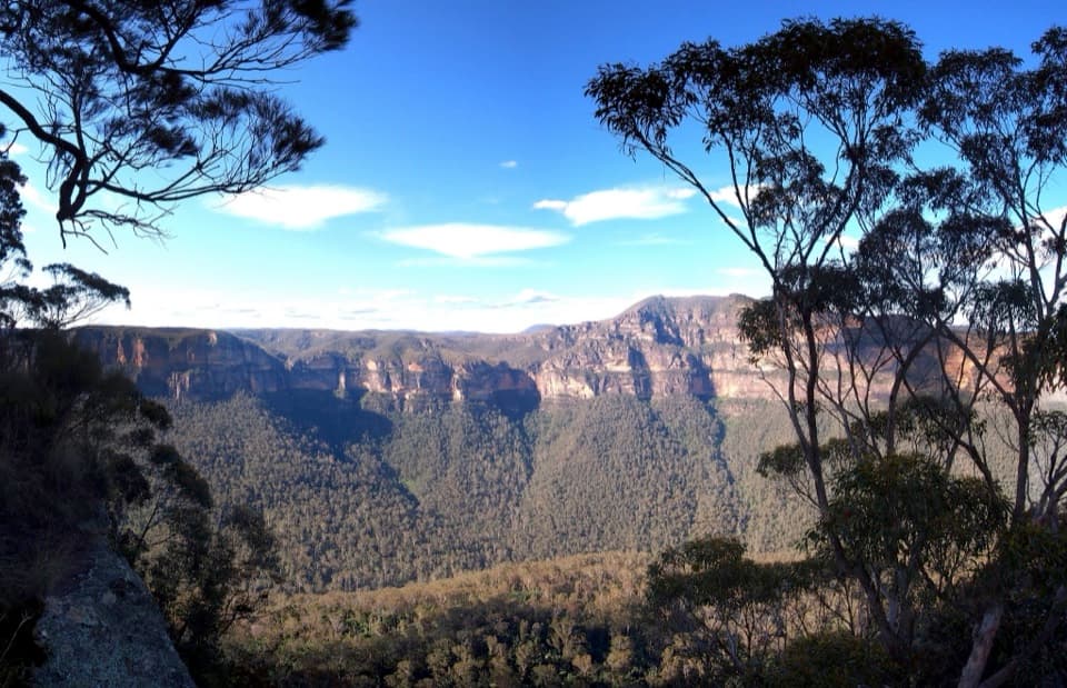
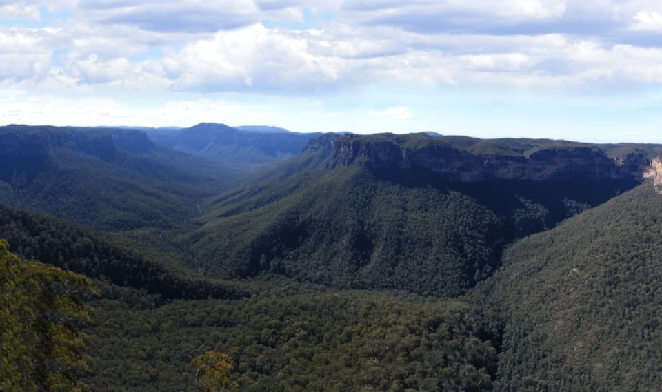
- Big Grose Valley vistas from slopes and near the rim
CONS
- Steep, sometimes loose final sections
- Very windy on exposed upper ridge
- Parking can fill on weekends
Overview
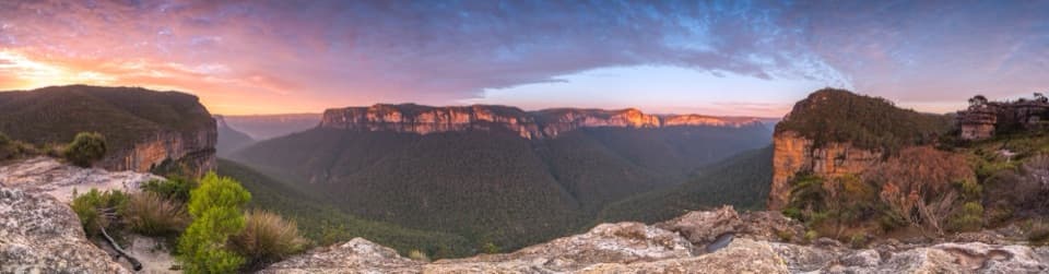
Mount Banks rises above the Grose Valley on the park’s northern rim, with a short, signposted summit walk that swaps crowds for solitude. You’ll climb from scrubby sandstone country into a lush, basalt-capped summit forest marked by the historic “King George” trig.
What You’ll See
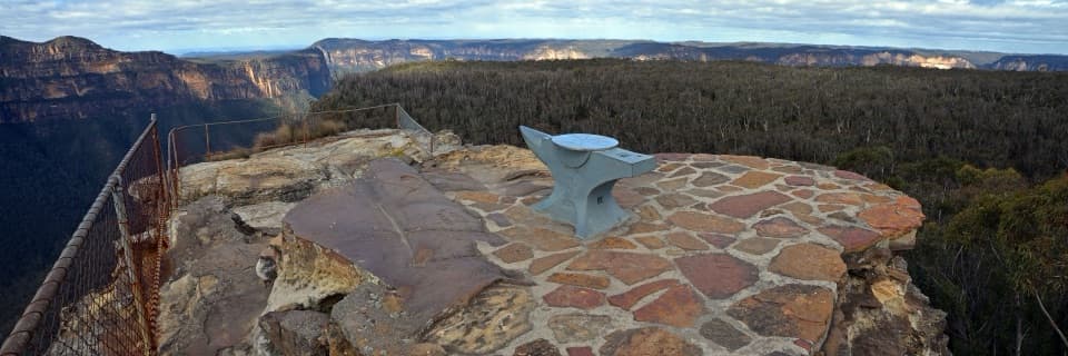
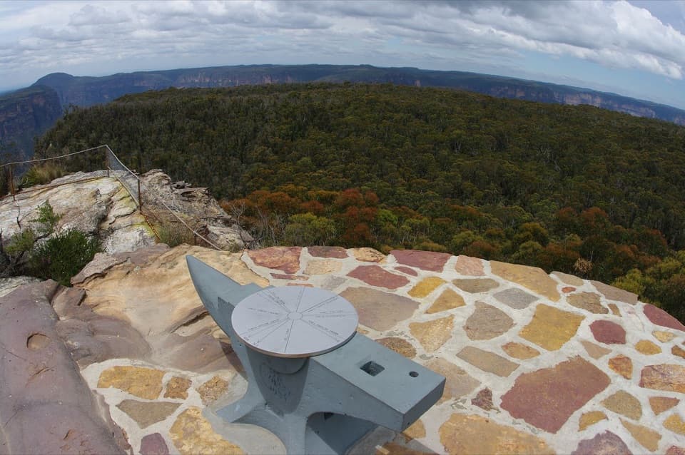
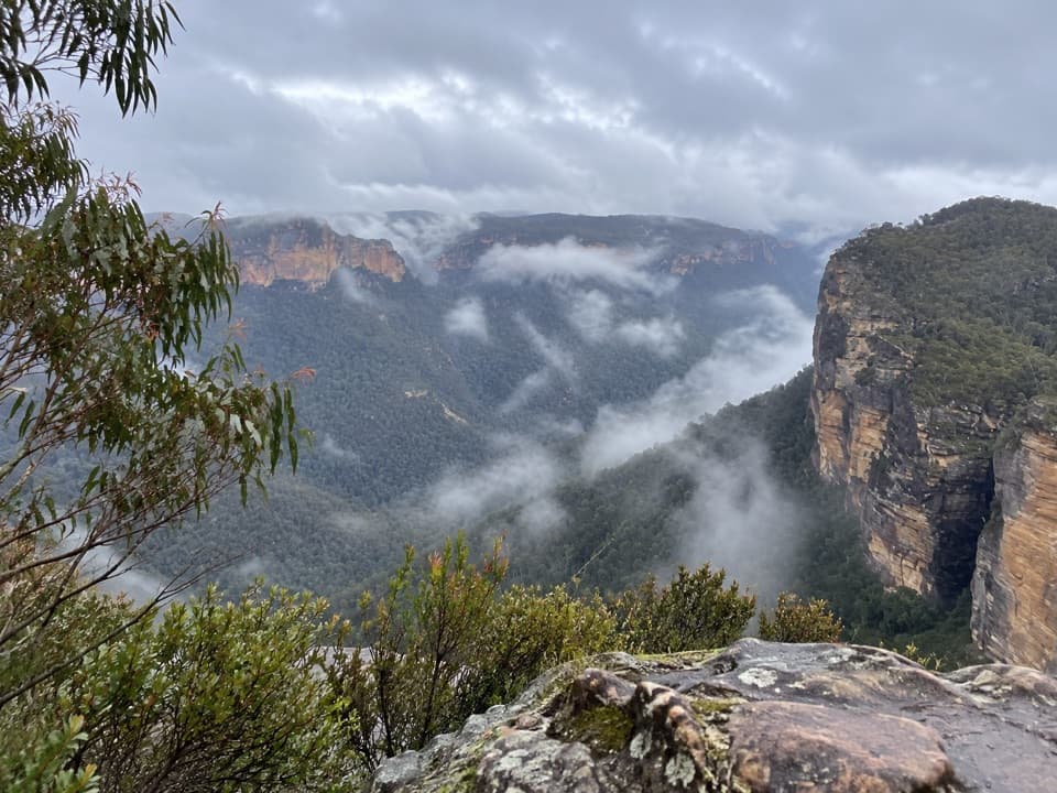
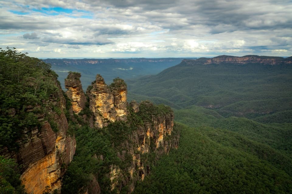
- Dramatic views into the Grose Valley and the sheer Banks Walls appear along the ascent and near the rim below the summit.
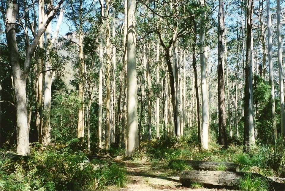
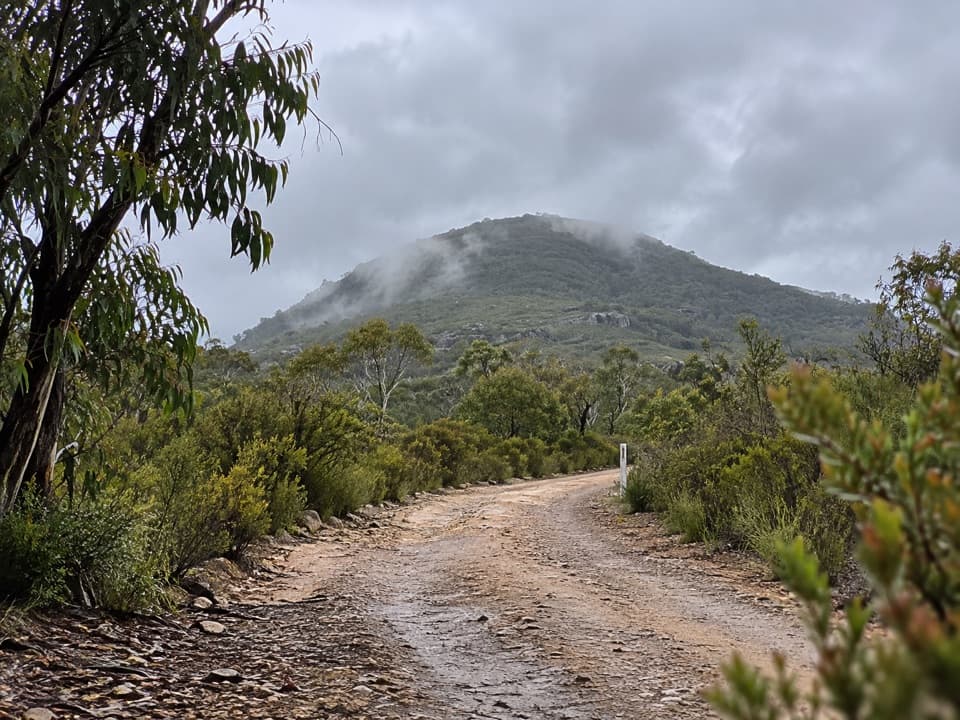
- A striking vegetation shift: rough sandstone scrub gives way to grasses and closed canopy near the top thanks to the basalt cap.
- Birdlife is a highlight—expect to hear lyrebirds and whipbirds and spot small robins flitting through the understory.
Trail & Difficulty
The Mount Banks Summit Walk is a short, out-and-back track from the end of Mount Banks Road. It’s well signposted and generally straightforward, but the final approach is steeper with occasional loose or slippery sections—poles help on the descent. Expect wind on the exposed upper ridge before you enter the summit forest. Note that the trig itself sits in trees; the best vistas are on the way up or from open edges near the rim just below the top.
Geology & History
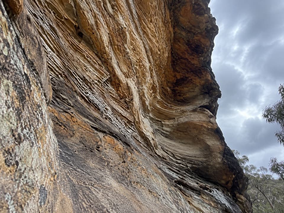
Most of the climb crosses Triassic sandstone, typical of the Blue Mountains. The summit’s basalt cap nurtures richer soil and a noticeably different, greener summit environment. The peak was named for Sir Joseph Banks in 1804; later naming detours explain the "King George" inscription on the summit trig.
Best Time to Visit
Weekdays are reliably quiet. On weekends, arrive early to snag a spot at the end-of-road parking. Choose calmer-weather days if possible—the upper ridge can be very gusty. For photography, plan time to explore outlooks along the ascent where the valley opens up.
Know Before You Go
- There are no facilities on the track—carry water, snacks, sun protection, and a windproof layer.
- Dogs aren’t permitted.
- If you’re tempted by rougher ridge extensions beyond the summit area, go only with experience and proper preparation.
Why Go
If you want a short hike with big Grose Valley drama and a fascinating geology lesson baked into the vegetation, without the usual crowds, Mount Banks is a smart pick.
Where it is
-33.5868, 150.3698Tips for Mount Banks
- 01Arrive early on weekends; the small car park can fill.
- 02Expect strong winds on the exposed upper ridge—bring a windproof layer.
- 03The best views are on the ascent and near the rim, not at the trig.
- 04Trekking poles help on the steep, loose final section.
- 05No water or facilities on the track—carry all essentials.
Amenities
Near Mount Banks
All places →All trails →
0.6 mi awayMount Banks Picnic AreaEnd of road picnic spot and trailhead for Mount Banks summitTrailhead · Parking
0.6 mi awayCaley MonumentSmall plaque marking George Caley’s 1804 turn-back at Mount Banks
0.6 mi awayMount Banks Summit WalkShort, steady climb to big Grose Valley views—best before the summit.Challenging · 2.2 mi · 2.5 hr
1.6 mi awayPerrys Lookdown CampgroundClifftop bush camp with knockout Grose Valley views and trail accessTrailhead · Restroom
1.6 mi awayPerrys LookdownClifftop views with a steep gateway to Blue Gum ForestTrailhead · Restroom
1.6 mi awayPerrys Lookdown to Blue Gum ForestShort, brutal drop to an iconic valley of towering blue gumsChallenging · 2.5 mi · 3 hr
1.9 mi awayAnvil Rock and Wind Eroded Cave walking trackTiny effort, huge Grose Valley views plus a sculpted sandstone cave.Easy · 0.6 mi · 30 min
2.1 mi awayPierces Pass walking trackSteep, spectacular drop to Blue Gum Forest and Grose River swimsChallenging · 9.9 mi · 7.5 hr