Parking
Turn from Bells Line of Road onto Pierces Pass Road; the dedicated Walls Lookout parking area is immediately on the left. Do not confuse it with the Pierces Pass car park, which serves a different approach.

Blue Mountains National Park, NSW
A short out-and-back to big Grose Valley views.
Overview
From the dedicated Walls Lookout car park, follow the formal track 1.27 km to the lookout and return the same way: about 2.54 km (1.58 miles) round trip. Allow about an hour with a stop at the end. It’s a good short outing for a broad Grose Valley panorama, though the path is rocky and uneven, with steeper steps and a climb back to the car park. This is the formal track from its own parking area, not the informal approach from Pierces Pass.
 Parkwolf’s verdictIs this the walk for you?
Map & elevation
Plan your hike

The highest, rockiest slopes around here are a summer buffet for grizzly bears.
Blue Mountains Tour Guide
Parkwolf is a GPS audio tour guide for Blue Mountains National Park. As you drive, it chimes in with what’s ahead: hidden gems, upcoming stops, history, geology, and wildlife, right through your car’s speakers.
See the Blue Mountains audio tourRecorded for this trailhead
Walls Lookout over the Grose Valley“You're coming up on the Walls Lookout track, a good choice for a broad Grose Valley view in about an hour.”
Plays as you drive up to this trailhead in the Parkwolf Blue Mountains Tour Guide.
More stories near here in the app
“Fantastic app with many points of information… It’s great to just turn on while you’re driving and it gives you an audio tour of the national Park. We love it!!!!”


Trail guide
The path winds through bushland first. As it reaches open ground, glimpses of the valley and cliff faces appear; a small marker points out the final 100 m. Walls Lookout is a broad natural cliff-edge area, not a built platform. Across the Grose Valley, look for the Blackheath Walls, with Mount Banks and Mount Hay among the surrounding peaks. There’s room for a slow look around, but keep to the marked path.
The way out drops toward the escarpment, so expect to climb back on the return. Visitors describe rocky tread and a few stepped or steeper sections; take your time if loose or uneven ground makes you cautious. The lookout has no fence. Stay well back from the edge, especially when stopping for photos.
Turn from Bells Line of Road onto Pierces Pass Road, then take the dedicated Walls Lookout parking area immediately on the left. The separate Pierces Pass car park serves a different, longer approach. Dogs and domestic animals aren’t allowed in the national park; certified assistance animals are the exception.
Wildlife
 58 sightingsGrey KangarooMost seen around 6 AMSighting map
 43 sightingsWombatMost seen around 6 PMSighting map
 18 sightingsRed-necked WallabyMost seen around 6 PMSighting map
 53 sightingsSwamp WallabyMost seen around 7 AMSighting map
 23 sightingsBrushtail PossumMost seen around 7 PMSighting map
 30 sightingsRing-tailed PossumMost seen around 7 PMSighting map
Sighting maps show where each species has been reported across Blue Mountains. Wildlife moves, so no sighting is guaranteed.
Keep exploring
 ChallengingPierces Pass to Blue Gum Forest walking track16 km · 7 hr · 0.7 km awayA steep Grose Valley descent to rainforest, river and Blue Gum Forest.
 EasyRigby Hill walking track1.2 km · 1 hr · 0.7 km awayA short ridge walk ends above the Grose Valley.
 ChallengingPierces Pass to Grose River4.9 km · 3 hr · 0.8 km awayA steep track to the river, then every step back up.
 ModerateMount Banks Road cycle route10 km · 4 hr · 2.4 km awayAn unsealed ridge road ends above the Grose Valley
 ModerateMount Banks Summit walk2.4 km · 2.5 hr · 2.4 km awayOpen ridge views make the steep climb to a wooded summit worthwhile.
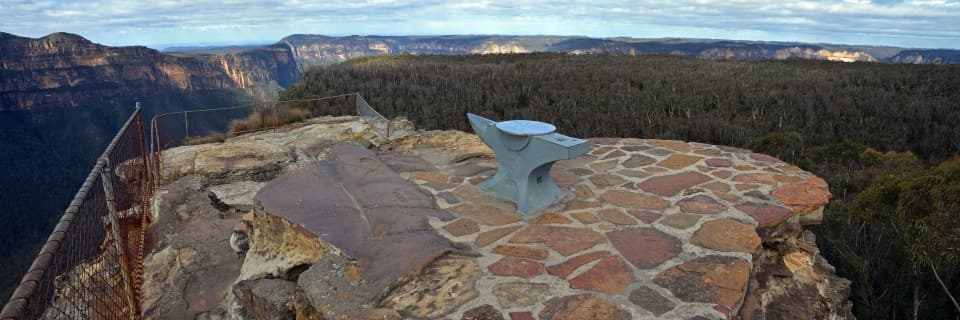 EasyAnvil Rock and Wind Eroded Cave Walk0.7 km · 24 min · 3.4 km awayTwo short spurs pair a valley lookout with a sculpted cave.
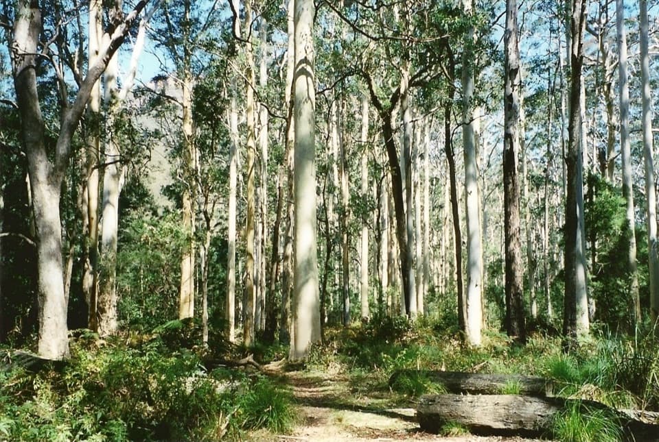 ChallengingPerrys Lookdown to Blue Gum Forest walking track5.3 km · 3.5 hr · 3.7 km awayDescend steeply to a forest bushwalkers saved from logging.
 ChallengingVictoria Falls walking track4 km · 2.3 hr · 4.9 km awayA steep 4 km return to a waterfall in the Grose Valley.
 Picnic area · 0.7 km awayPierces Pass picnic areaTwo very different walks start at this small Grose Valley picnic stop.
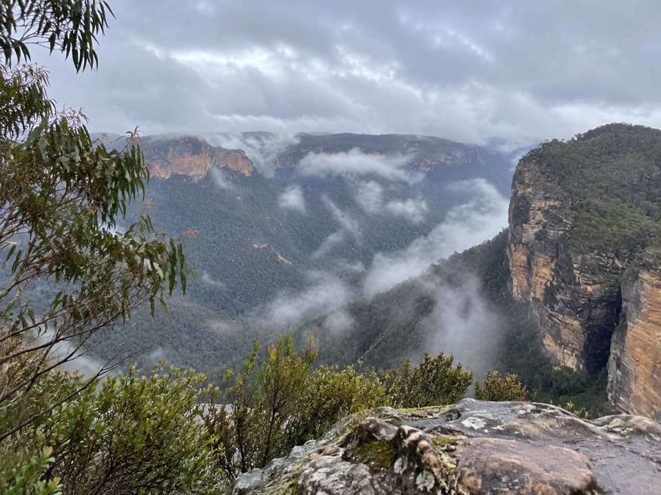 Sight · 1.2 km awayRigby Hill lookoutA short ridge walk to a broad Grose Valley panorama.
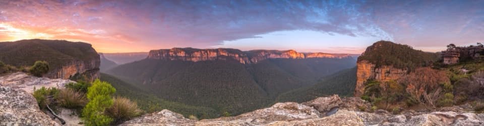 Sight · 1.2 km awayWalls LookoutA short rocky walk opens onto a huge Grose Valley panorama.
 Picnic area · 2.3 km awayMount Banks picnic areaQuiet tables at Mount Banks' base, with a steep summit walk beyond.
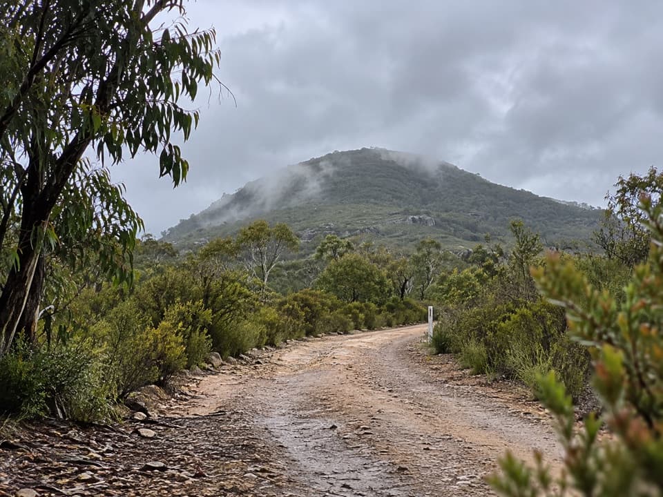 Sight · 3.3 km awayMount BanksA steep climb to a double-humped summit above Grose Wilderness.
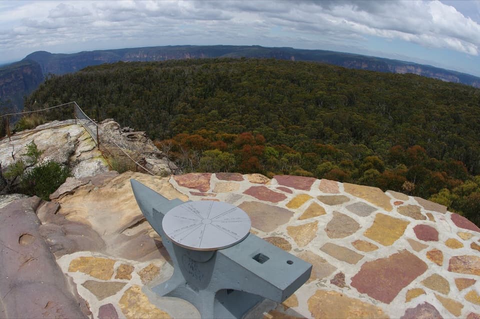 Sight · 3.3 km awayAnvil RockA real anvil, a real story, and a wide Grose Valley view.
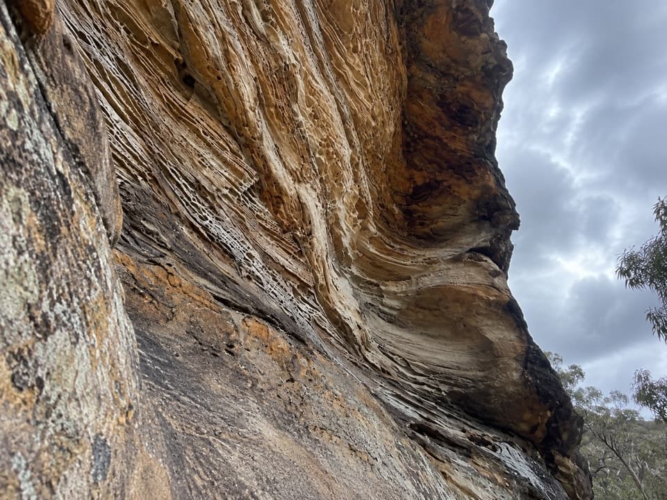 Sight · 3.3 km awayWind Eroded CaveA short stop for wave-shaped sandstone and a Grose Gorge view.
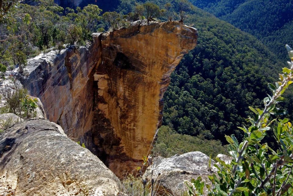 Sight · 3.4 km awayBaltzer LookoutA ridge walk ends at an unfenced view over the Grose Valley.
Parkwolf’s Blue Mountains ranking
The audio tour guide for the drive, plus offline maps, trails, and wildlife heatmaps for when the signal drops.





