Pros & cons
PROS
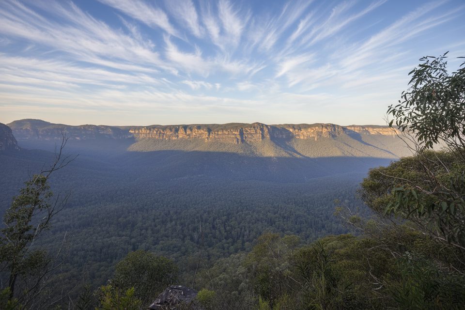
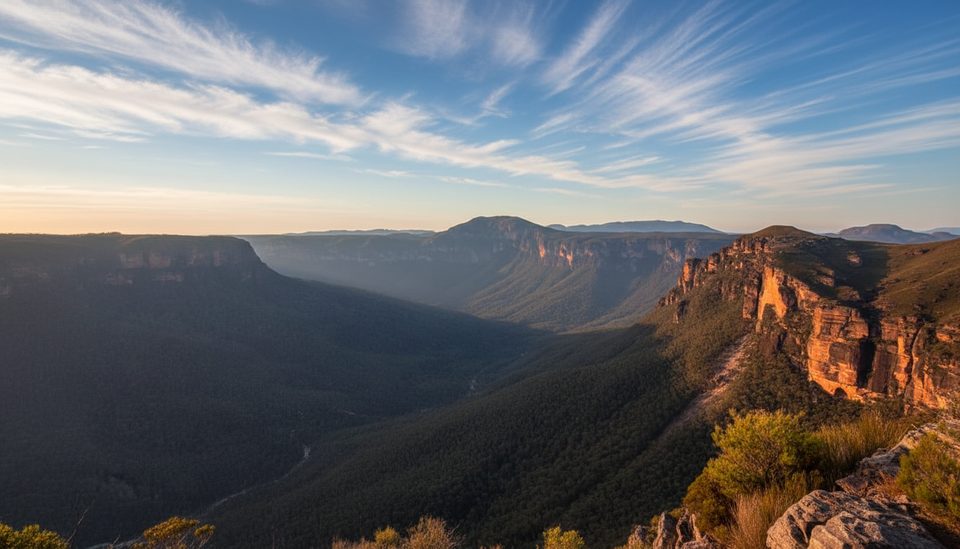
- Near-360-degree Grose Valley views
- Spring wildflower displays along the ridge
- Quieter than the big-name lookouts
CONS
- No facilities: no toilets, water, or shelter
- Exposed to wind, sun and weather across much of the walk
- Access via unsealed, corrugated road; can be rough after rain
Overview
Lockleys Pylon is a rocky knoll and natural lookout on the ridge above the Grose Valley in the park’s Blackheath area. It’s reached by the Lockleys Pylon walking track, a short, classic Blue Mountains ridge walk that trades shade for horizon‑filling views. Expect a straightforward, undulating track with a short climb at the end and a big payoff at the top.
What You’ll See
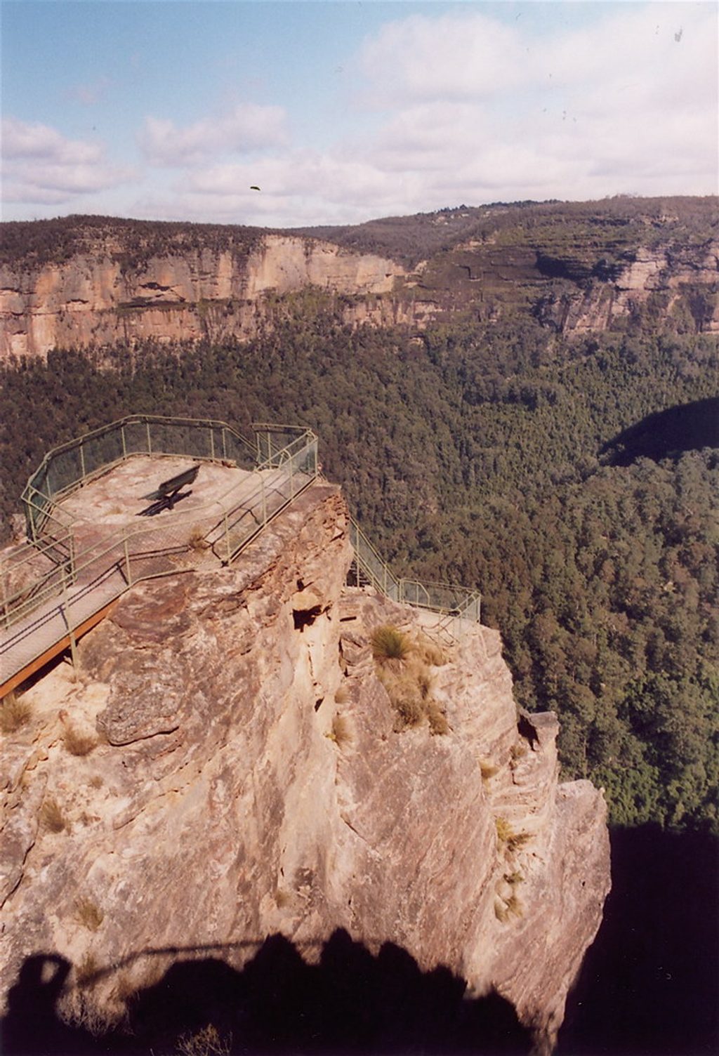
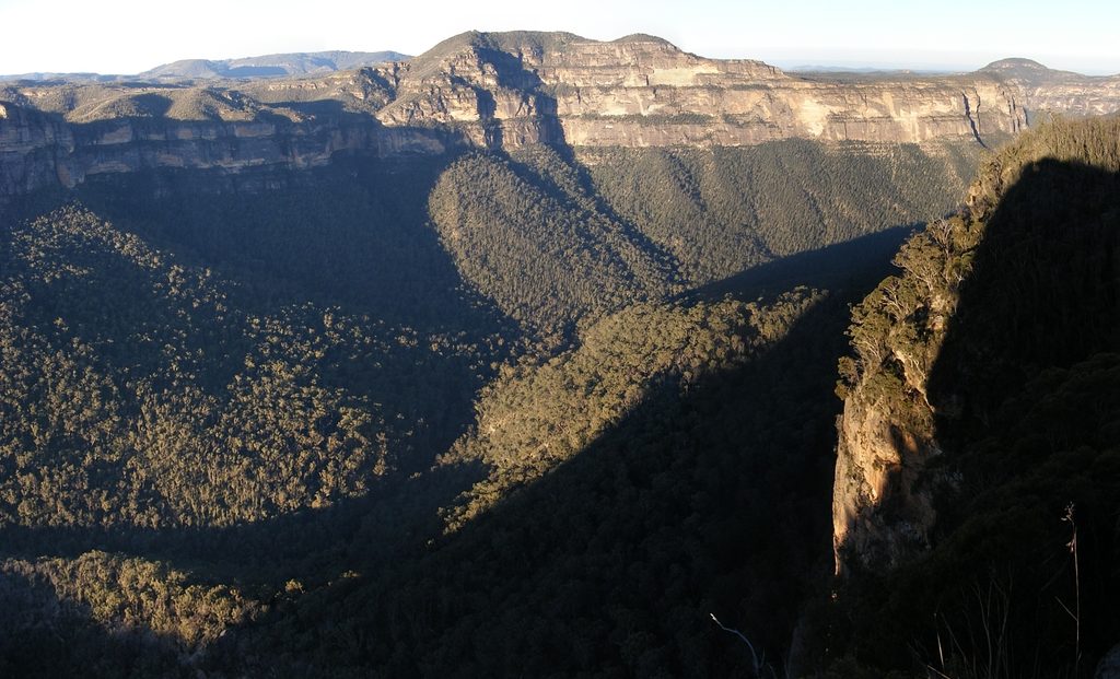
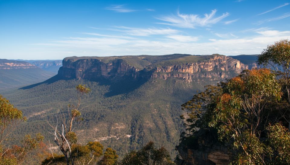
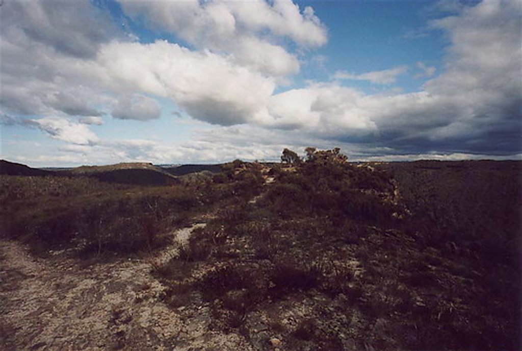
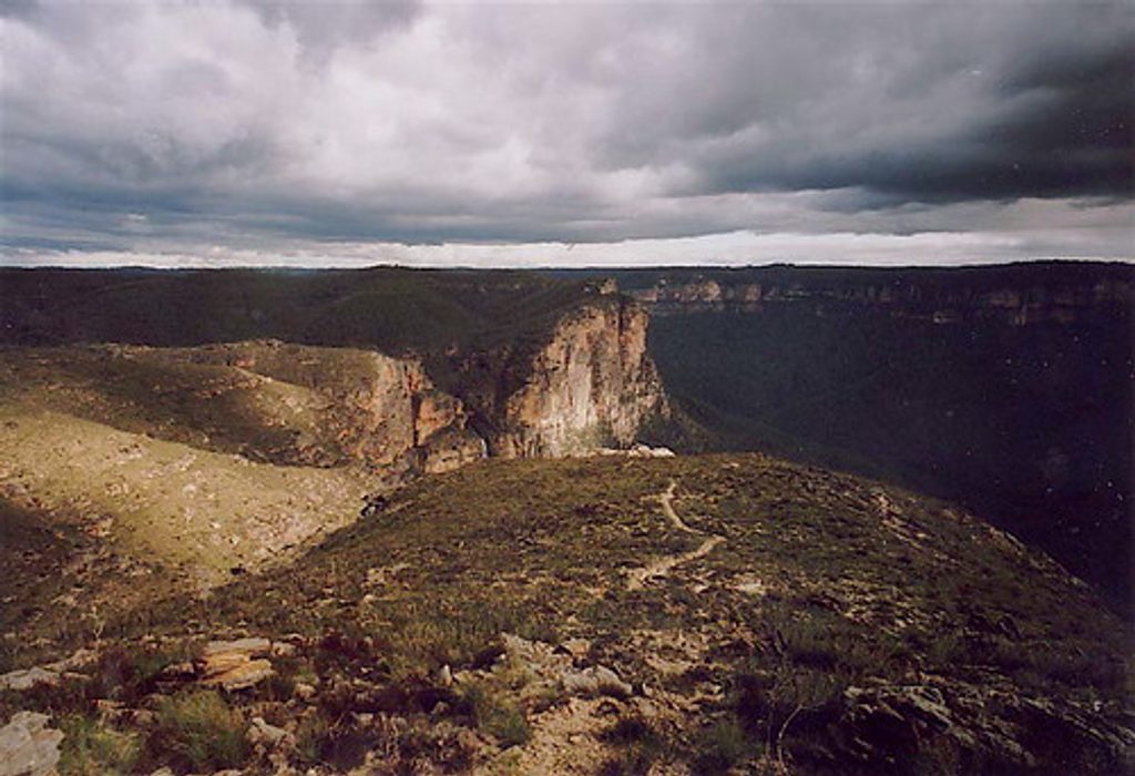
From the summit, you’re looking across the Grose Valley to sandstone cliffs and prominent peaks like Mount Hay and Mount Banks, with the Blue Gum Forest below and Fortress Creek Waterfall in the distance. The views are broad and photogenic, with near-360-degree panoramas from the pylon. The track itself crosses open heath and eucalypt country, with rocky outcrops and airy vistas much of the way.
Trail Basics
- Distance and time: about 7 km return, typically 2–2.5 hours for most walkers.
- Terrain and grade: easy to moderate; mostly gentle ups and downs, then a short, steeper pinch to the summit. The path can be uneven, rocky in places, and occasionally has fallen branches.
- Extension: add an extra 1.3 km return to Du Faur Head for even grander valley views and fewer people.
Wildlife and Wildflowers
Spring is prime for wildflower displays across the heath, with showy blooms and, after some fires, the occasional pink flannel flower. Birdlife is a highlight—bring binoculars to make the most of the open vistas and passing bird activity along the ridge.
Planning and Safety
There are no services here—no toilets, water, picnic tables, or shelter—so come self‑sufficient with plenty of water, food, sun protection, and sturdy footwear. Much of the route is exposed; it can be hot, windy, or cold depending on the day. The trailhead is signposted off Mount Hay Road, which includes an unsealed, corrugated section; generally manageable in dry conditions but rough after rain. Check NPWS alerts before you go, and NPWS recommends filing a trip intention form.
Best Time to Visit
- Season: spring for wildflowers; this walk is rewarding year‑round if you’re prepared for weather.
- Crowds: it’s quieter than the headline lookouts, but weekends can still be busy.
- Daylight and comfort: aim for cooler parts of the day to avoid the full force of sun and wind on this exposed ridge.
Where it is
-33.6274, 150.3569Tips for Lockleys Pylon
- 01Carry all your water and food; there are no services on the track.
- 02Start early or late to avoid heat and wind on this exposed ridge.
- 03Add the short extension to Du Faur Head for even bigger vistas.
- 04Check NPWS alerts and submit a trip intention form before you go.
- 05Approach is via unsealed Mount Hay Road; drive carefully, especially after rain.
Amenities
Near Lockleys Pylon
All places →All trails →
1.2 mi awayBlue Gum ForestCathedral of blue gums deep in the Grose Valley
1.7 mi awayBoyds Beach TrackClifftop epic linking Pulpit Rock and Govetts via a quiet creekChallenging · 2.6 mi · 2.8 hr
1.7 mi awayPulpit Rock LookoutVertigo-inducing multi-level lookout over the vast Grose ValleyTrailhead · Restroom
1.8 mi awayLockleys Pylon TrackOpen ridge to a knockout Grose Valley panorama and wildflowersModerate · 4.3 mi · 2.5 hr
2 mi awayPerrys LookdownClifftop views with a steep gateway to Blue Gum ForestTrailhead · Restroom
2 mi awayPerrys Lookdown to Blue Gum ForestShort, brutal drop to an iconic valley of towering blue gumsChallenging · 2.5 mi · 3 hr
2 mi awayPerrys Lookdown CampgroundClifftop bush camp with knockout Grose Valley views and trail accessTrailhead · Restroom
2.2 mi awayFortress Ridge TrackQuiet ridge walk to huge Grose Valley views and cliff-edge lookoutsModerate · 4.6 mi · 3 hr