
Place · 0.6 mi away
Moderate
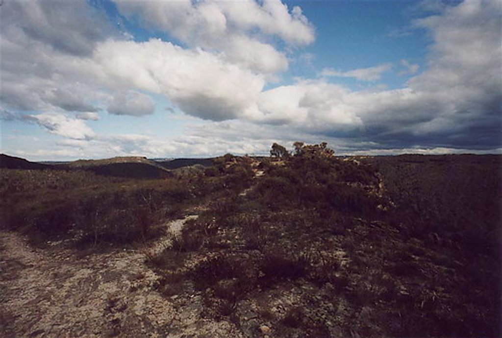
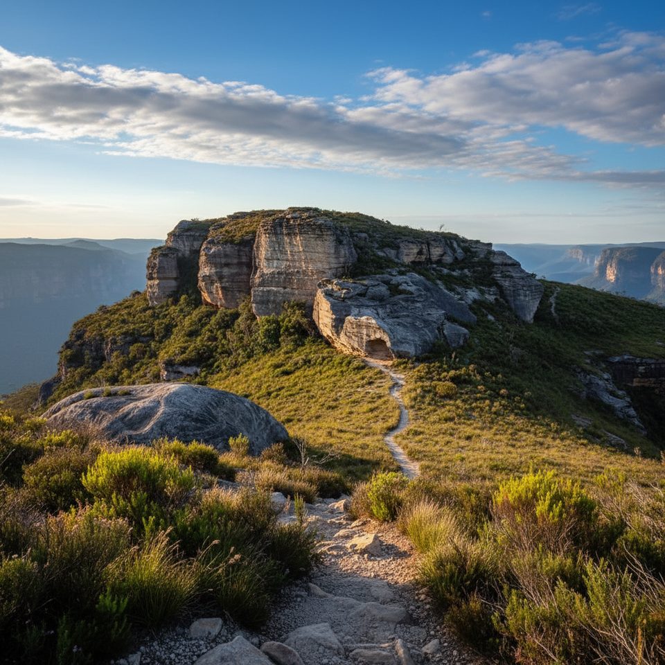
This is a classic Blue Mountains ridge walk: an exposed, undulating track across open heathland to a rocky knoll with giant views over the Grose Valley. It’s about 7 km (4.3 miles) return, out-and-back from Mount Hay Road, and most hikers take 2–3 hours including photo time. Expect mostly gentle grades with a few rocky, rough patches and a spectacular, wide‑open finish as you approach the pylon.
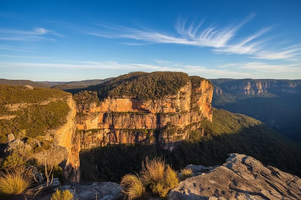
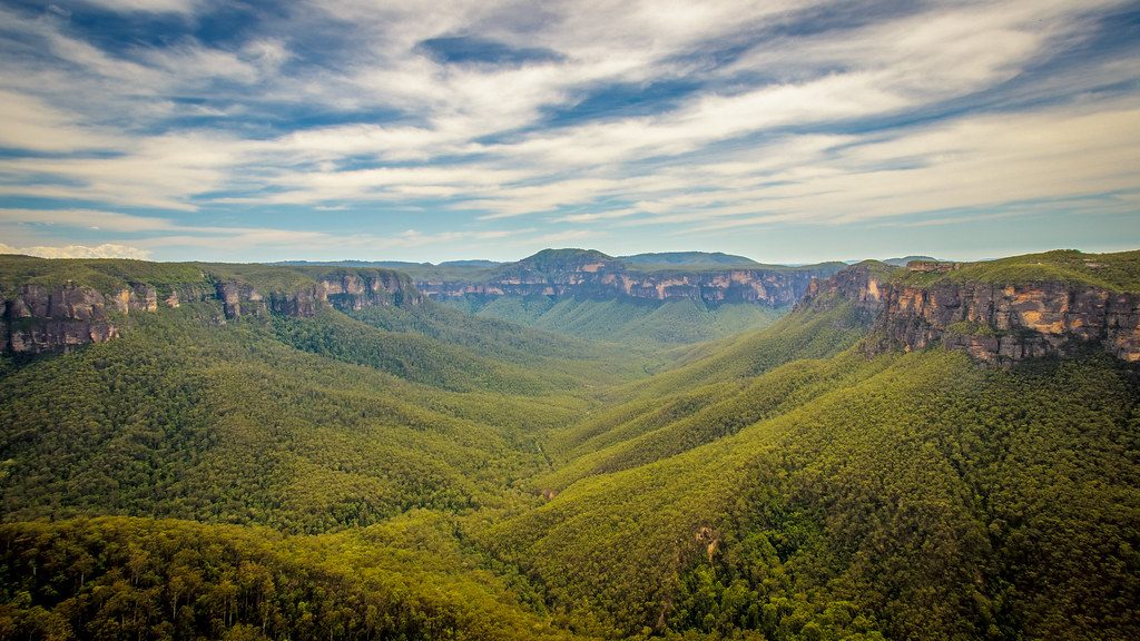
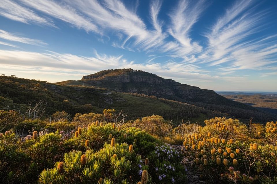
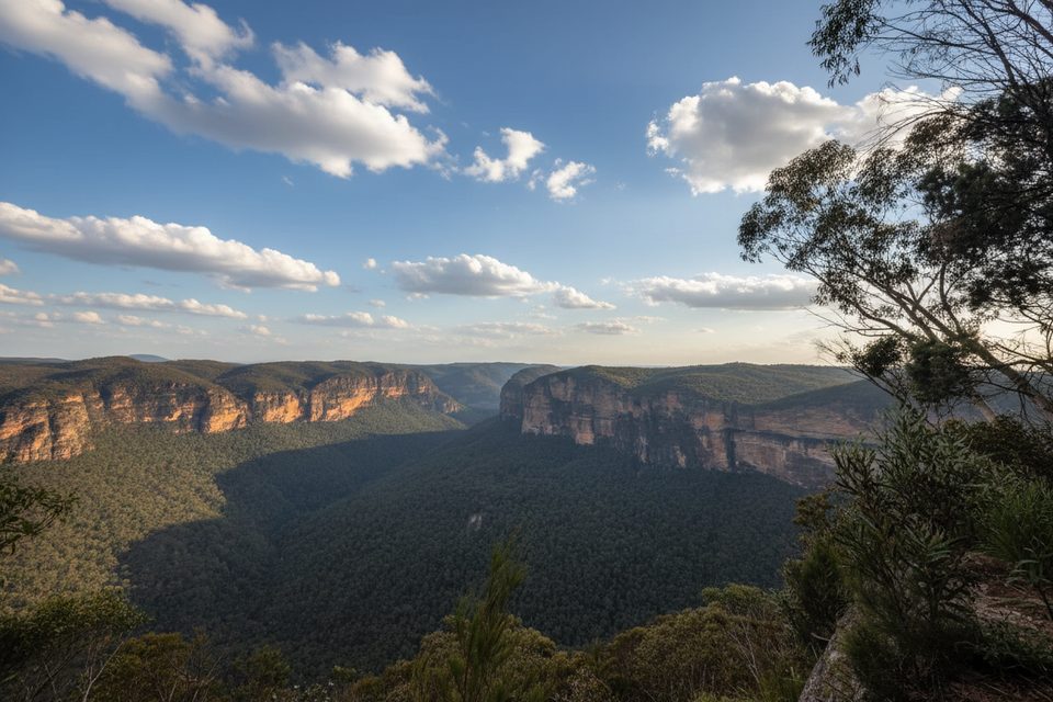
The payoff is all about sky‑to‑cliff panoramas. From the ridge you’re staring down at the Grose Valley, with golden Triassic sandstone walls framing the scene and Mount Hay and Mount Banks anchoring the skyline. The heathland is a spring highlight: look for bursts of red lambertia, and after fire, the rare pink flannel flower. The open country also makes this a quietly excellent birdwatching walk—bring binoculars.
It’s moderate overall: mostly firm, sandy or rocky singletrack with some uneven footing but no sustained steep climbing to the pylon. The route stays exposed, so you’re trading shade for near‑constant views. Want more? Fit hikers can extend beyond the pylon to Du Faur Head for even bigger vistas, but that add‑on is rougher and more demanding.
Spring is prime for wildflowers and comfortable temps. Autumn and winter often bring cool air and crisp visibility—great for photography. Summer can be harsh here: there’s little to no shade, so go early or late if it’s warm. Weekends see some traffic, but this track is usually much quieter than the park’s marquee walks.
Access is via Mount Hay Road; the final unsealed stretch (7+ km) can be rough, especially after rain. There’s limited parking at the trailhead, and no facilities—no toilets, water, or shelter—so arrive self‑sufficient and pack out everything. Mobile reception can be limited; let someone know your plans before heading out and carry a downloaded map.
Bring plenty of water, sun protection (hat, sunscreen, long sleeves), and sturdy shoes. Expect wind on the ridge and quickly changing weather. The track is generally well‑formed but includes rocky, eroded sections that require attention to footing.
Lockleys Pylon commemorates J.G. Lockley, a journalist and conservationist tied to efforts that helped save the Blue Gum Forest below. As you walk, you’re traveling across ancient sandstone country—those honeyed cliffs are classic Blue Mountains Triassic sandstone—and looking down into eucalypt forests that define the Grose Valley.
Small, informal parking area at the trailhead off Mount Hay Road; last 7+ km is unsealed and can be rough—some drivers choose to park earlier if conditions are poor.
Fully exposed ridge with limited shade; carry ample water and sun protection. Unsealed access road may be rough after rain. Track has rocky, uneven sections. Limited mobile reception and no facilities.
Place · 0.6 mi away
Place · 1.8 mi away
Place · 2.3 mi away
Place · 2.7 mi away
Moderate · 0.6 mi away
Easy · 2.3 mi away
Moderate · 2.3 mi away
Challenging · 2.6 mi away

Parkwolf Tour Guide
