Pros & cons
PROS
- Dramatic sandstone escarpments framing a peaceful rural valley
- Gateway to the historic Six Foot Track with big‑view walking
CONS
- Winding descent on Megalong Road; can be rough and under repair after rain
- Limited services and variable opening days for venues
Overview
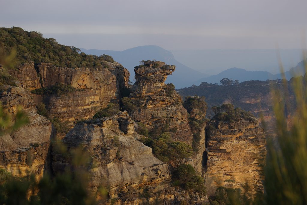
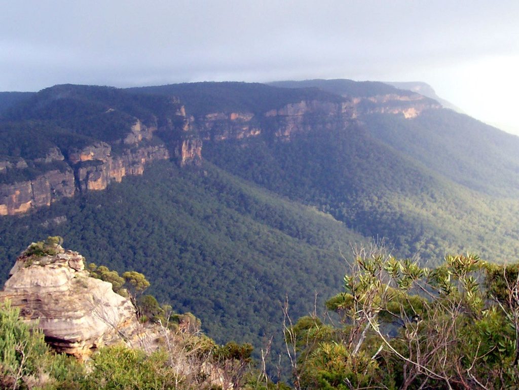
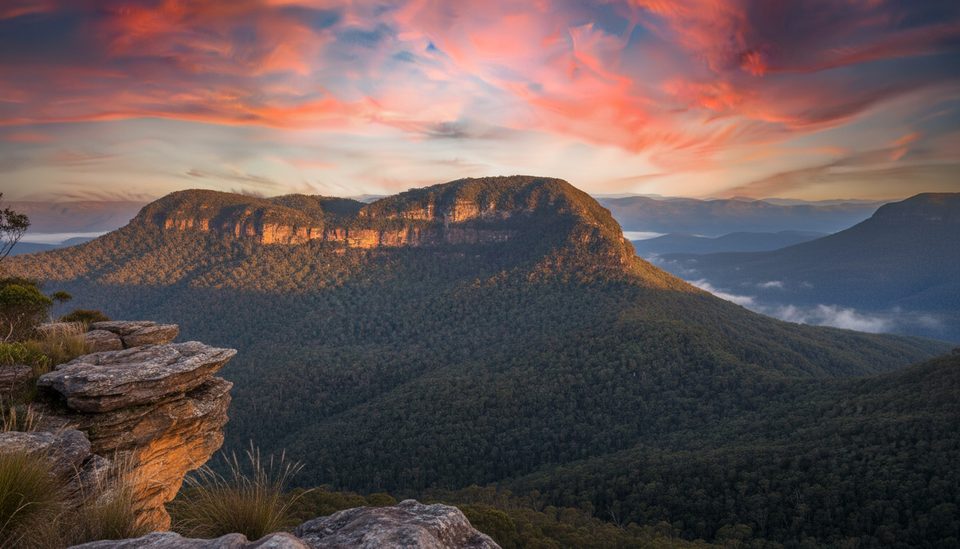
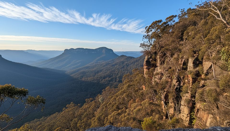
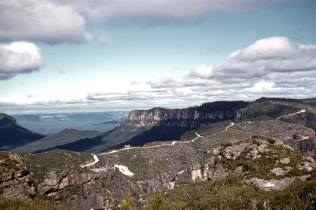
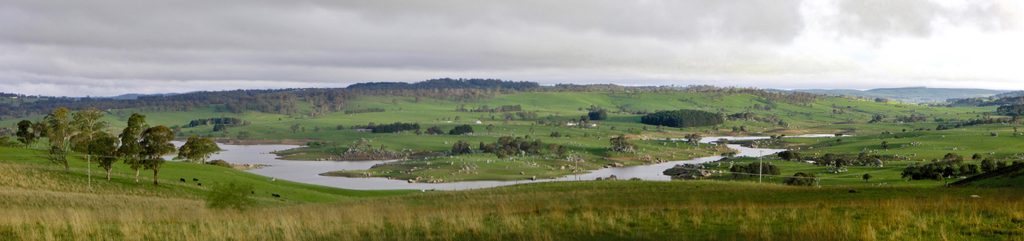
Megalong Valley is the Blue Mountains’ quiet achiever: a broad, pastoral floor wrapped by towering sandstone cliffs. It sits west of Katoomba, separated from Jamison Valley by Narrow Neck Plateau and overlooked in parts by Shipley Plateau. The name is said to come from an Aboriginal word meaning “Valley Under The Rock,” and that’s exactly how it feels—green pastures and bush tucked beneath golden escarpments.
Landscape & Vibe
Expect a mix of open farmland, native bush, and sheer cliff walls. Mornings often bring mist across the paddocks, giving the whole valley a calm, rural mood that’s a world away from the busier lookouts up on the plateau.
Things To Do
- Walk a section of the historic Six Foot Track as it passes through the valley—classic Blue Mountains country with constant cliff backdrops.
- Settle in for slow time: picnics, scenic winery terraces, and easy rambles through bush and pasture edges are the sweet spot here.
- Horse riding is promoted in regional guides and pairs perfectly with the valley’s open-country feel.
Getting There
Access is via Megalong Road from Blackheath. The descent is scenic but winding, with switchbacks and occasional repair work after wet weather. Take it slow, especially in rain or fog. Public transport options are limited—plan to drive.
Wildlife
The mix of bush and pasture attracts native birdlife and typical Blue Mountains fauna. Ask local operators for recent sightings and best times—dawn and dusk are usually most active.
History & Geology
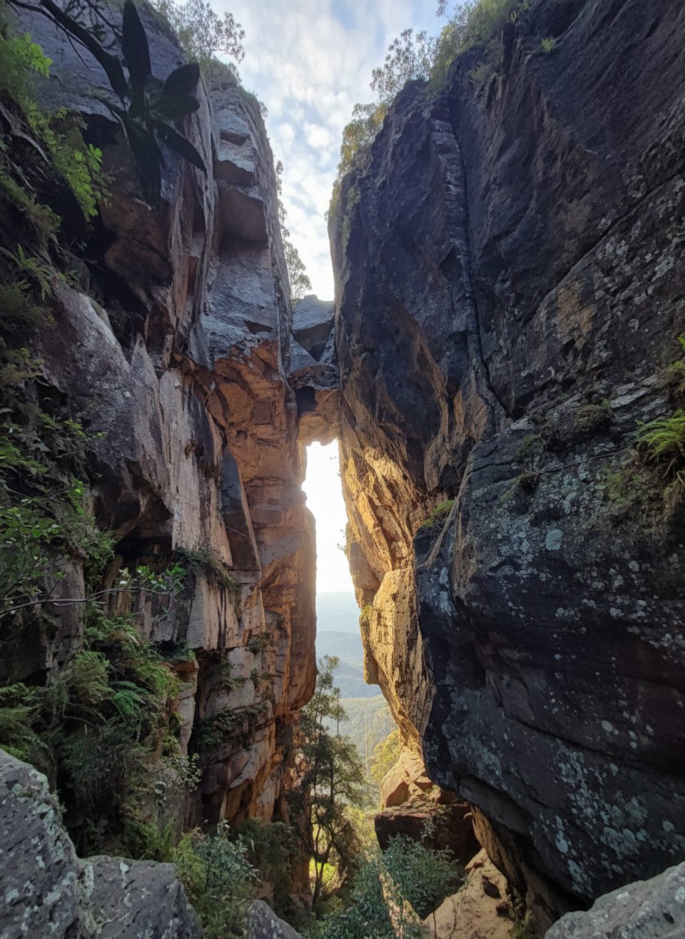
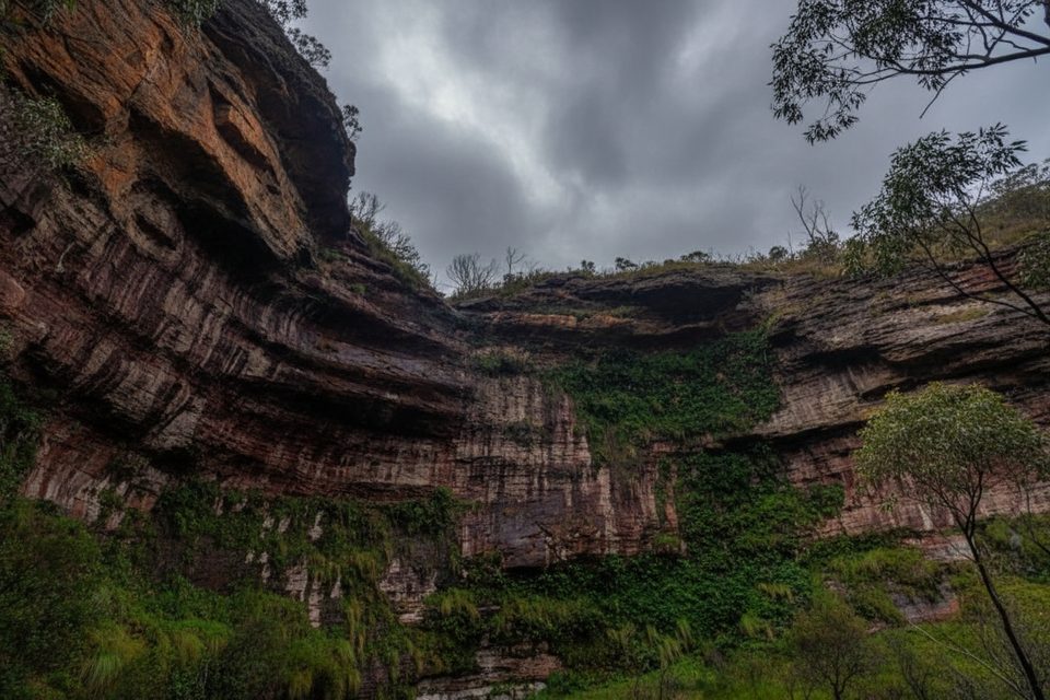
Megalong is carved between major sandstone plateaus. Those high, weathered cliffs create fertile valley floors below and the classic Blue Mountains escarpment drama above. The valley’s name—“Valley Under The Rock”—pretty much sums up the geology on display.
Best Time To Visit
- Weekends tend to have more venues open; weekdays can be very quiet.
- For photos, aim for early and late light when cliffs glow and mist lingers; midday is harsher.
- Winter brings crisp air and frequent morning fog; pack layers year‑round.
Quick Call
If you want big Blue Mountains scenery without the crowds—and a launchpad for the Six Foot Track—this valley is a standout.
Where it is
-33.7333, 150.2503Tips for Megalong Valley
- 01Drive Megalong Road cautiously—tight bends and post‑rain repairs are common.
- 02Start Six Foot Track walks early for cooler temps and softer light.
- 03Layer up for misty mornings and bring sun protection for open paddocks.
- 04Check venue opening days and book ahead if you’re planning tastings or meals.
Amenities
Near Megalong Valley
All places →All trails →
1.7 mi awayDiamond FallsAustralia’s steep sport‑climbing showpiece on a wild sandstone escarpment
1.9 mi awayMount Solitary walking trackBig Blue Mountains day: Golden Stairs to Mount Solitary summit.Challenging · 11.2 mi · 11 hr
1.9 mi awayGolden StairsA steep, short gateway to Federal Pass with big Jamison views.Challenging · 1 mi · 1.2 hr
2.1 mi awayBoars Head LookoutCliff-edge Megalong views with the Boar’s Head rock front and centerTrailhead · Parking
2.3 mi awayDevils Hole TrackShort, steep slot cutting Katoomba’s cliffs with rainforest vibesChallenging · 1.2 mi · 2.5 hr
2.5 mi awayNarrow Neck LookoutBig valley views and the gateway to the Narrow Neck trailScenic Viewpoint · Parking
2.5 mi awayNarrow Neck Plateau TrailLong ridgeline fire trail with nonstop Jamison and Megalong views.Moderate · 11.8 mi · 5.5 hr
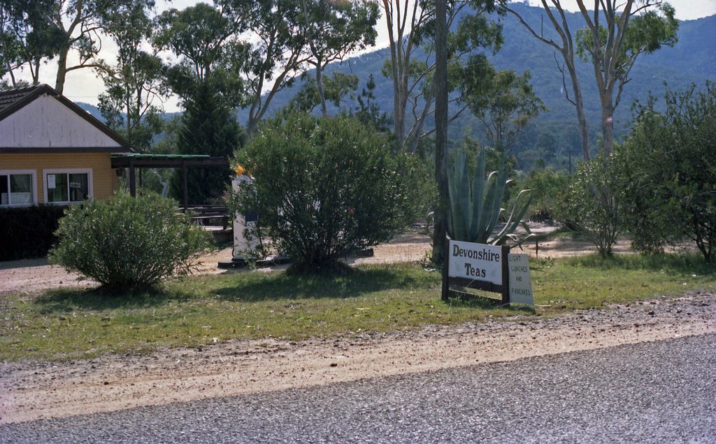
2.6 mi awayMegalong Valley Tea RoomsBeloved valley cafe for scones, apple pie, and sandstone cliff viewsFood · Restaurant