Pros & cons
PROS
- Tranquil, lesser-known lookout with sweeping Grose Wilderness views
- Picnic tables and a pit toilet right at the lookout
CONS
- Unsealed access road; can be rough or closed after rain
- Viewpoints are limited and some angles are partly screened by vegetation
Overview
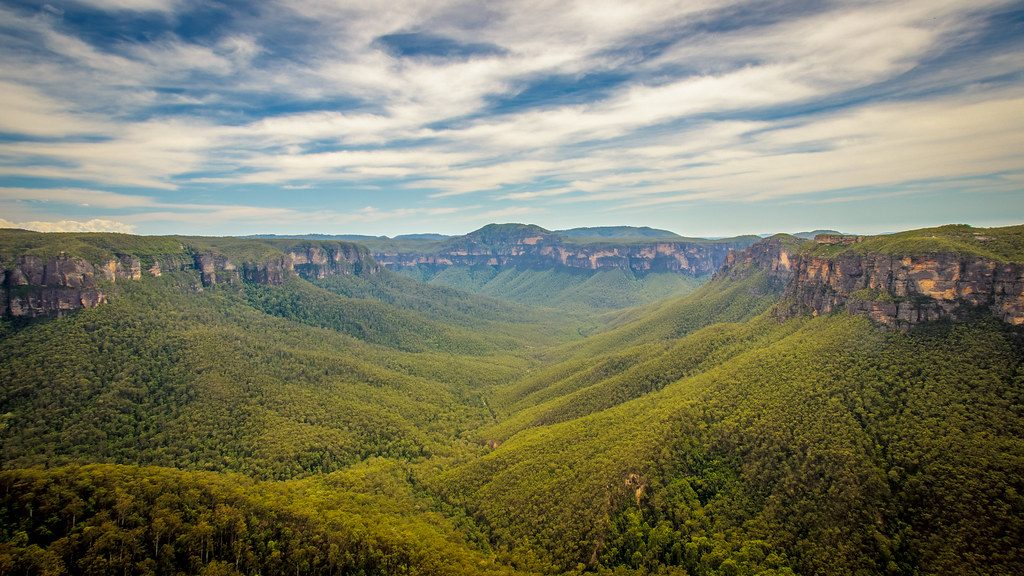
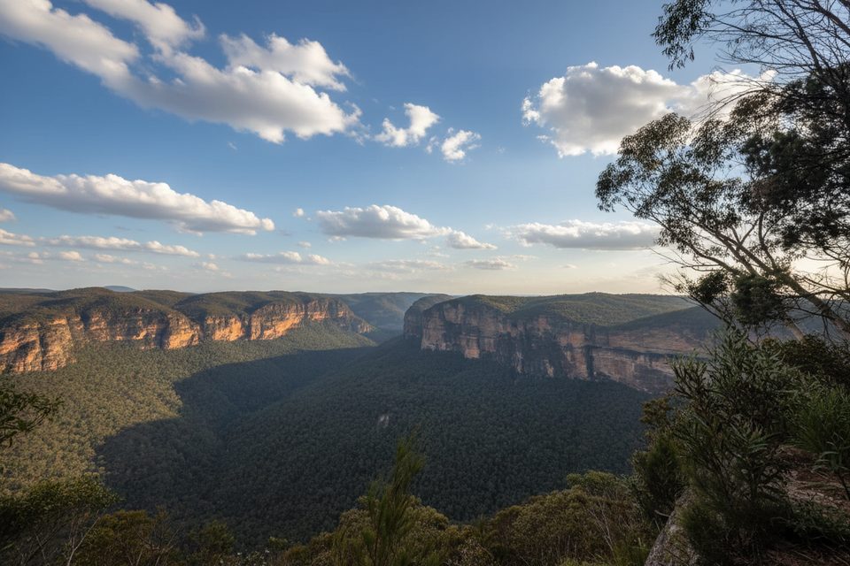
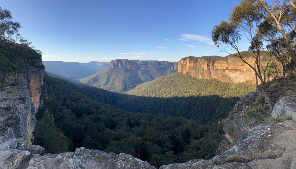
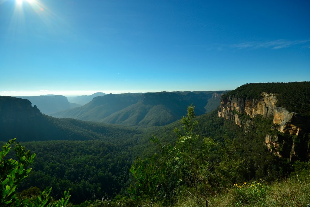
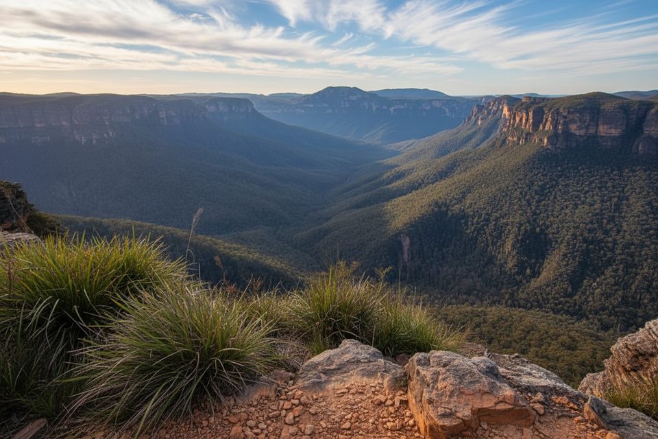
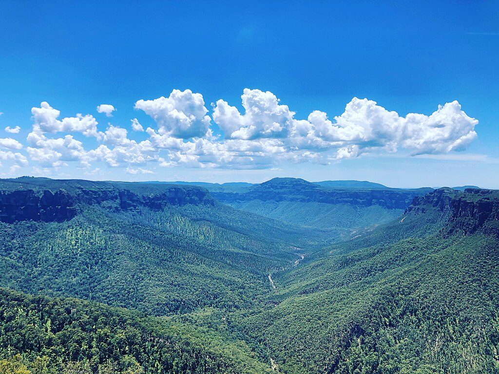
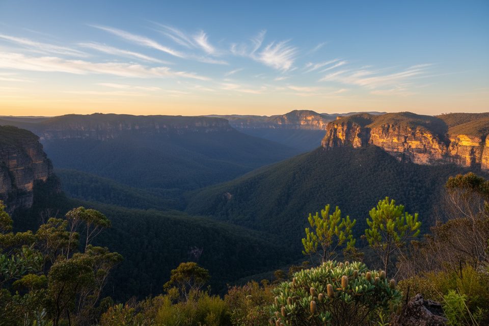
Point Pilcher Lookout caps a quiet dirt road north of Medlow Bath, delivering a fenced, north-facing perch over the Grose Wilderness and Govetts Gorge. It’s the side-on version of the classic cliff panorama—think dramatic sandstone walls, forested valleys, and a clean sightline toward Mount Banks—without the tour-bus crowds.
What You’ll See
- Sheer, glowing cliff faces and the deep V of the gorge, best appreciated in angled light.
- Distant peaks including Mount Banks, with native bush framing the foreground.
- Big-sky wilderness vibes minus the hubbub of the marquee lookouts.
Getting There & Facilities
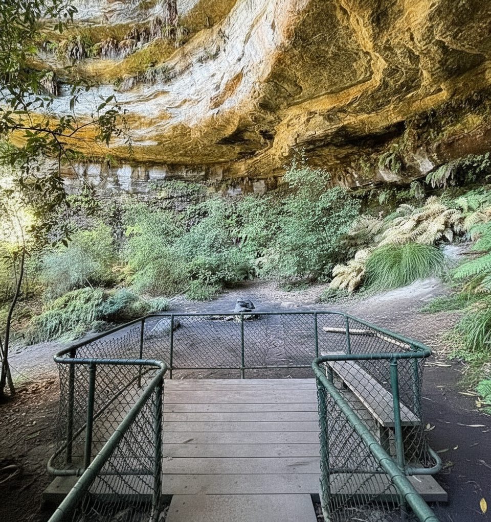
The final approach is an unsealed dirt road past the old Katoomba airfield to the road-end. At the lookout you’ll find a small parking area, picnic tables (including a covered table under an awning), and a pit toilet. The viewing area itself is fenced for safety.
Photography
This lookout faces north, so morning and late-afternoon light rakes across the cliffs beautifully. Midday is harsh and flattens the scene. Compositions are limited but strong—most people line up the valley walls and Mount Banks in the distance.
Pair It With a Walk
Point Pilcher is handy for accessing the Grand Canyon track: the trailhead sits back along Point Pilcher Road rather than at the fence itself. If you want more than a viewpoint, plan a combined drive-and-walk day.
Wildlife
Standard Blue Mountains bushland fare applies here: keep an ear out for lyrebirds, and watch for cockatoos and parrots working the treetops. Around dusk, wallabies and possums are possible along the road margins.
Safety & Conditions
Expect an unsealed road with dips and ruts; after heavy rain it can be rough and occasionally gated. Rockfalls happen in the wider cliff system from time to time—use normal cliff-edge caution and check for any local alerts before you go.
Best Time to Visit
- Light: Sunrise and late afternoon are prime; avoid the midday glare if photos matter.
- Crowds: Generally quiet even on weekends, with easy room to linger over lunch.
- Weather: Clear, post-storm days often produce the best clarity across the valley.
Where it is
-33.6558, 150.3311Tips for Point Pilcher
- 01Golden hour is when the north-facing cliffs light up best; skip midday.
- 02The Grand Canyon trailhead is back along Point Pilcher Road, not at the fence.
- 03After heavy rain, expect ruts and possible gate closures; have a Plan B.
- 04Bring water and food—picnic tables are here, but there’s no cafe or taps.
- 05Walk a few steps beyond the car park—best views aren’t visible from the vehicle.
Amenities
Near Point Pilcher
All places →All trails →
0.7 mi awayRodriguez Pass walking trackSteep, waterfall-rich loop into the Grose Valley for experts.Challenging · 7.5 mi · 6 hr
0.7 mi awayHorse TrackHistoric descent from Evans Lookout into the quiet Grose ValleyChallenging · 3.2 mi · 2.5 hr
0.7 mi awayGrand CanyonClassic walkable canyon of waterfalls, ferns, and towering sandstoneTrailhead · Parking
0.7 mi awayGrand Canyon TrackHand-built rainforest canyon loop with waterfalls and stair-filled dramaModerate · 3.7 mi · 2.5 hr
0.7 mi awayBeauchamp FallsShaded canyon waterfall on the Grand Canyon TrackTrailhead · Scenic Viewpoint
0.7 mi awayEvans LookoutCliff-edge views over the Grose Valley, with trails right at your feetTrailhead · Restroom
1 mi awayNeates Glen TrackShaded stairway into Blue Mountains’ lush Grand Canyon rainforestChallenging · 3.9 mi · 3.5 hr
1.5 mi awayWalls CaveSandstone overhang via a hidden slot canyon near BlackheathTrailhead · Parking