
Place · 0.1 mi away
Challenging
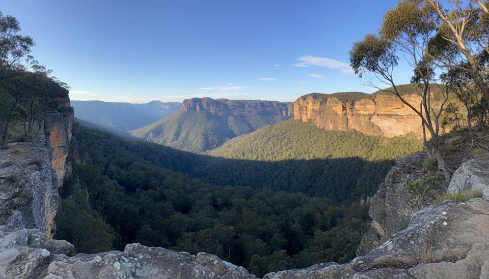
The Horse Track is a historic, quieter alternative to the busier Grand Canyon routes, dropping from Evans Lookout near Blackheath into the Grose Valley. It’s a genuine bush track: less maintained, sparsely signposted, and designed for walkers who like solitude and don’t mind a bit of rough-and-ready underfoot.
Most hikers reach the junction by following the Grand Canyon Track briefly from Evans Lookout before branching onto the Horse Track. A classic outing is Evans Lookout down the Horse Track to Junction Rock, about 3.2 miles (5.1 km) one way, typically taking 2–2.5 hours for fit parties. Many turn it into a longer day by looping via Govetts Leap or visiting Beauchamp Falls; total distances vary depending on your itinerary. Expect sustained elevation change: it’s mostly downhill from the clifftop to the valley, and a stout climb on the return.
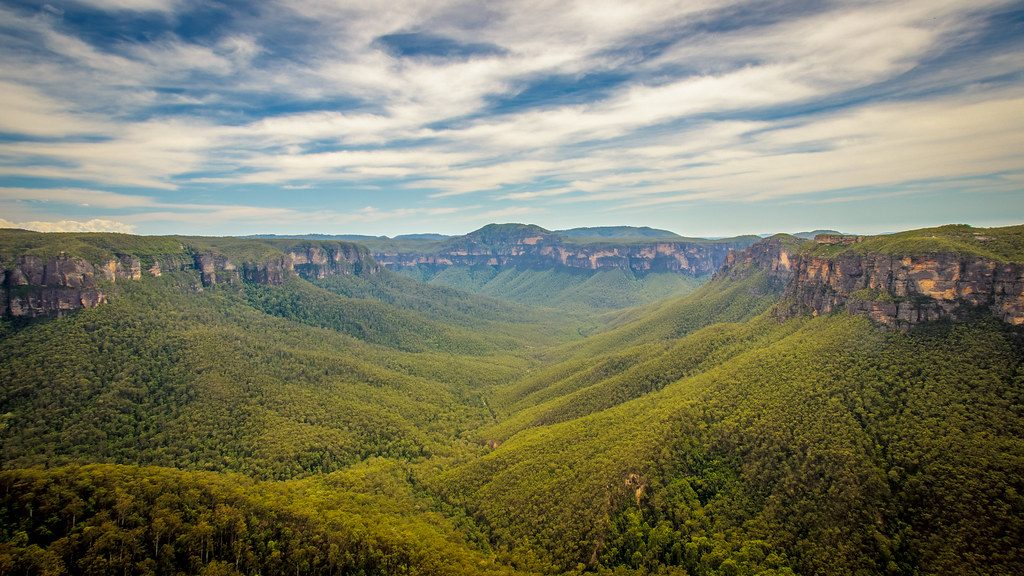
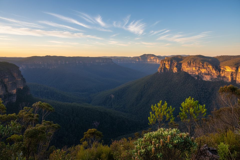
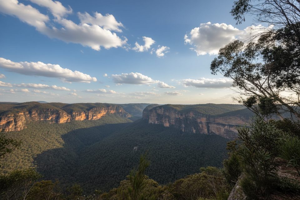
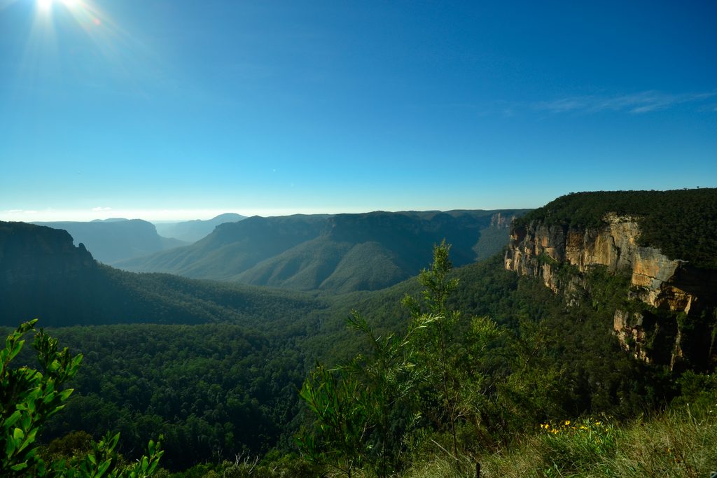
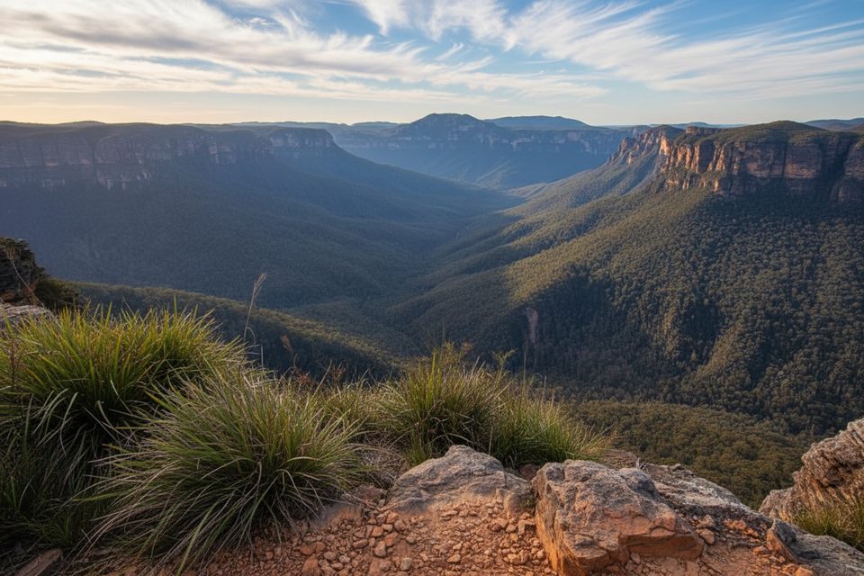
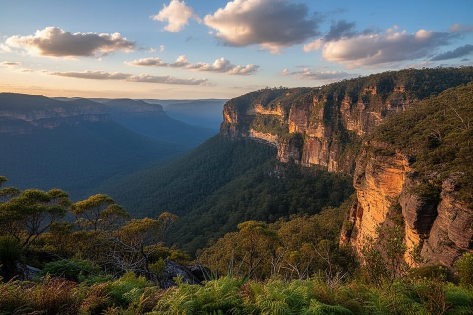
This is Blue Mountains sandstone country—dramatic cliff lines, eucalypt forest, and sandstone ledges giving way to lush, cool rainforest on the valley floor. Near the start, a short side path leads to a superb Grose Valley lookout. Down low, you’ll cross a clear, rocky creek (easy on stepping stones in normal conditions) and find tranquil, crystal-clear pools near Junction Rock that make for memorable wild swims when conditions are safe.
Rated moderately hard for experienced walkers, the track is rough in places and can be overgrown after wet weather. You’ll pass warning signs and even a chain at the entry—believe them. Navigation is generally straightforward once you’re on it, but the junction can be easy to miss and signage is limited. After rain, rocks and roots are slick and creek levels rise, so footing and crossings become trickier. Mobile reception is patchy to nonexistent; carry a map/GPS and consider a PLB.
It’s walkable year-round, with spring and autumn offering the sweetest combo of cool temps and wildflowers. Summer heat can make the climb back up a slog and raise creek levels after storms. Winter brings crisp air and clear views but can be slippery after rain or frost. Aim for early morning starts for shade on the descent and a quieter experience.
Park at Evans Lookout car park near Blackheath; use the Grand Canyon Track briefly to reach the Horse Track junction.
Steep, rough, less-maintained track with limited signage; slippery when wet and creek crossings can rise after rain. Remote feel with poor mobile coverage—carry map/GPS and consider a PLB.
Place · 0.1 mi away
Place · 0.3 mi away
Place · 0.3 mi away
Place · 0.7 mi away
Challenging · 0 mi away
Moderate · 0.3 mi away
Challenging · 0.7 mi away
Easy · 1.2 mi away

Parkwolf Tour Guide
