Parking
Start at Grand Canyon carpark on Evans Lookout Road near Blackheath. Non-flush toilets are here, but there is no drinking water; Evans Lookout also has toilets, including an accessible toilet.

#1 of 110 trails in Blue Mountains
Blue Mountains National Park, NSW
A ferny creek gorge, waterfalls and sandstone slots in one loop.
Overview
Map & elevation
Plan your hike

The highest, rockiest slopes around here are a summer buffet for grizzly bears.
Blue Mountains Tour Guide
Parkwolf is a GPS audio tour guide for Blue Mountains National Park. As you drive, it chimes in with what’s ahead: hidden gems, upcoming stops, history, geology, and wildlife, right through your car’s speakers.
See the Blue Mountains audio tourRecorded for this trailhead
Grand Canyon Track and Greaves Creek“You're coming up on the Grand Canyon track, a walk through a narrow sandstone gorge beside Greaves Creek. Allow three to four hours for the six point three kilometre loop, with lots of steep steps and a climb back out.”
Plays as you drive up to this trailhead in the Parkwolf Blue Mountains Tour Guide.
More stories near here in the app
“Fantastic app with many points of information… It’s great to just turn on while you’re driving and it gives you an audio tour of the national Park. We love it!!!!”


Trail guide
The Grand Canyon track is a 6.3 km loop from Grand Canyon carpark: it drops from the plateau to Greaves Creek, threads the sandstone canyon, then climbs out at Evans Lookout before returning to the carpark. Allow 3 to 4 hours. It’s graded 3: the track is formed and clearly signposted, but the hills are short and steep and the route has many steps. It’s a moderate walk for people happy with a long stair workout; it won’t feel like a casual 6 km stroll.
The descent starts in open plateau bush, among banksias and mountain devil, then slips into a cooler, shaded gully where ferns and rainforest take over. You lose height quickly on the way down, and you’ll have to climb it back later. The formed path makes the route easy to follow, but the uneven stone and timber steps are part of the effort from the start.
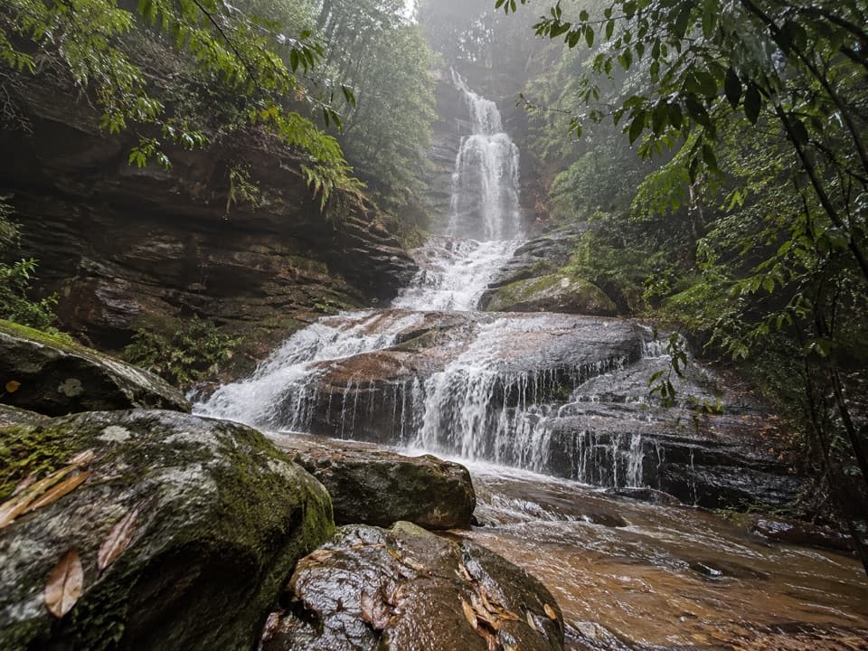
The creek is the thread through the canyon. The track crosses it several times on stepping stones or small bridges, passing little waterfalls and pools under high sandstone walls. Watch the scenery change from open bush to a narrow, fern-filled gorge; the rock walls and overhangs make this feel much more enclosed than the ridge above. A short tunnel cut through a sandstone overhang is one of the walk’s odd, memorable details. Stones and rock can be slippery after rain, and the crossings may be higher.
After the canyon, the way climbs steadily through a long run of stairs to Evans Lookout. This is the big change in mood: the tight creek gully opens to broad views across the Grose Valley and its sandstone cliffs. Take a few minutes here before following the lookout connection and Evans Lookout Road back to the carpark. Visitors disagree about which way round the circuit is best, so don’t expect one direction to make the climb disappear.
People have walked this route since 1907. A major restoration ran in 11 stages from 2008 to 2017, balancing the old stonework with safer, durable construction. Materials for the work were flown into the canyon by helicopter, a good measure of how awkward it is to build and repair a path in a steep, enclosed gorge.
Grand Canyon carpark is on Evans Lookout Road near Blackheath. There are non-flush toilets at the carpark, but no drinking water; Evans Lookout also has toilets, including an accessible toilet reached by a concrete path. Dogs and other domestic animals aren’t allowed, apart from certified assistance animals. Park access can change with fire danger or poor weather, so check current alerts before driving out.
If you want the canyon’s wide view without the full loop, Evans Lookout is a separate, much shorter stop from the road. On the circuit, it’s a satisfying finish after the stair climb. The broad Grose Valley view is especially striking around sunrise or sunset; the canyon itself is better for noticing the close-up creek, ferns and layered rock.
Wildlife
 58 sightingsGrey KangarooMost seen around 6 AMSighting map
 43 sightingsWombatMost seen around 6 PMSighting map
 18 sightingsRed-necked WallabyMost seen around 6 PMSighting map
 53 sightingsSwamp WallabyMost seen around 7 AMSighting map
 23 sightingsBrushtail PossumMost seen around 7 PMSighting map
 30 sightingsRing-tailed PossumMost seen around 7 PMSighting map
Sighting maps show where each species has been reported across Blue Mountains. Wildlife moves, so no sighting is guaranteed.
Keep exploring
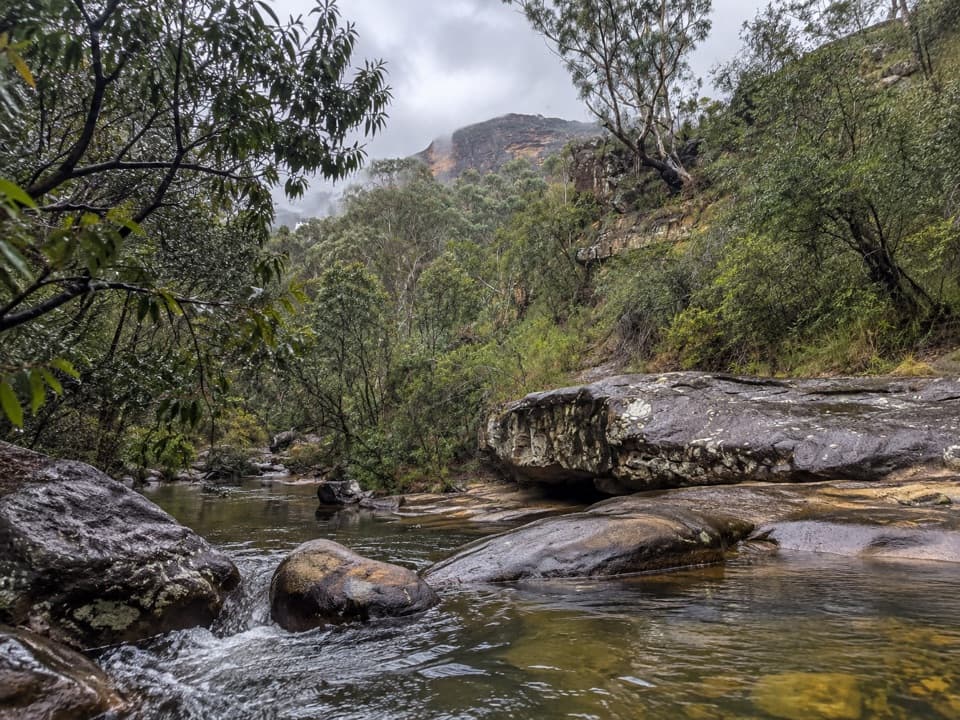 ModerateHorse Track to Junction Rock7.8 km · 4.5 hr · 0.5 km awayStair-heavy descent to cascades and pools at Junction Rock.
 ModerateWalls Cave Track1.8 km · 1.5 hr · 1.4 km awaySteep steps lead to a creek crossing and a huge sandstone overhang.
 ModerateBraeside walking track2.5 km · 1.3 hr · 1.6 km awayA quiet creekside walk to a waterfall view over Grose Valley.
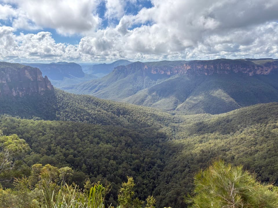 EasyFairfax Heritage walking track3.6 km · 1.3 hr · 2.4 km awayAn easy sealed walk to two Grose Valley lookouts.
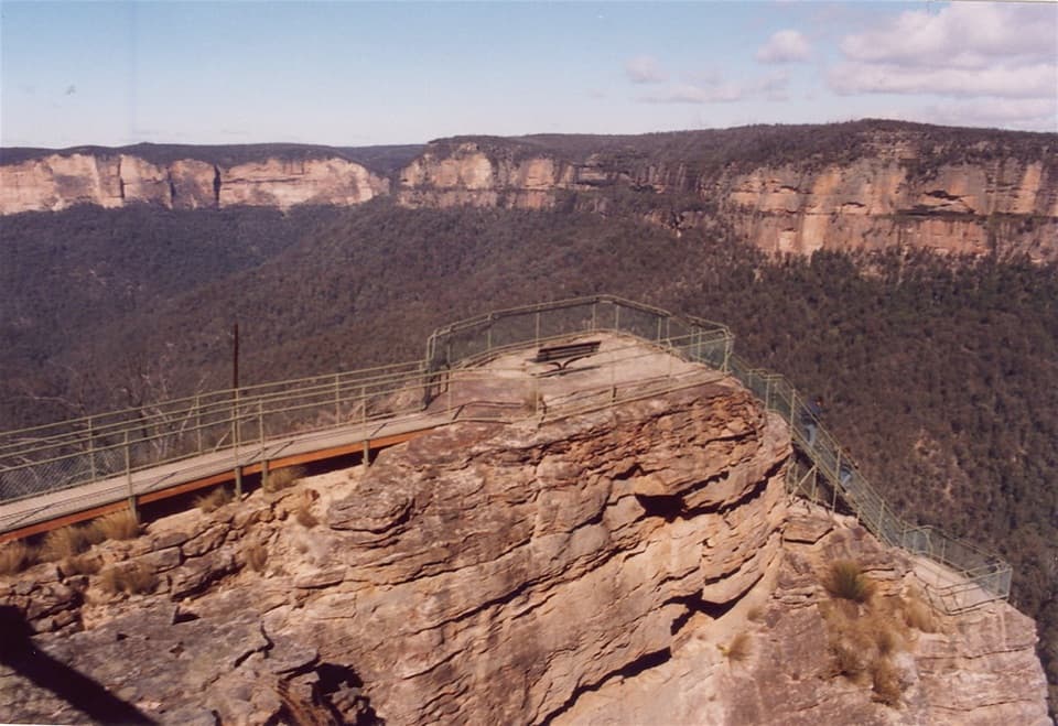 ModeratePulpit walking track7 km · 2.5 hr · 2.5 km awayA cliffline walk to an isolated sandstone blade above the Grose Valley.
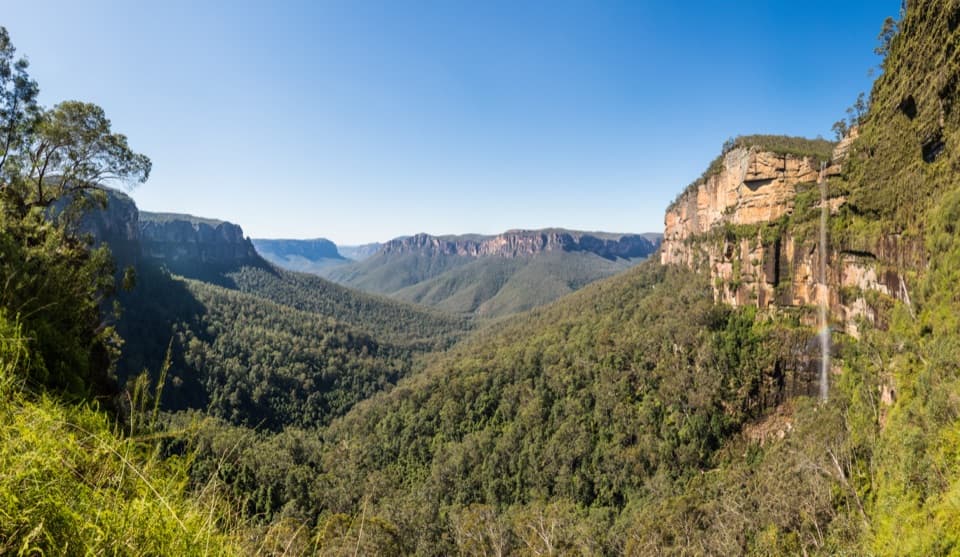 ChallengingRodriguez Pass walking track12 km · 5.5 hr · 2.5 km awayA full-day loop linking waterfalls, a canyon floor and cliff-top views
 ModerateCliff Top walking track6 km · 3.3 hr · 2.5 km awayA stepped cliff-edge walk with Grose Valley and waterfall views.
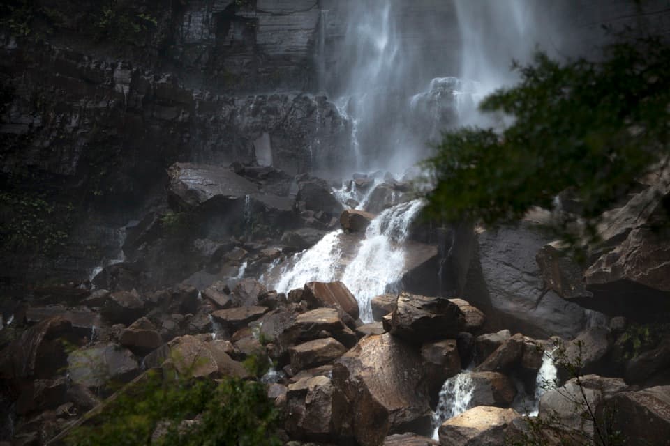 ChallengingGovetts Leap descent1.8 km · 1.5 hr · 2.5 km awayA steep 1.8 km return walk to the falls and back.
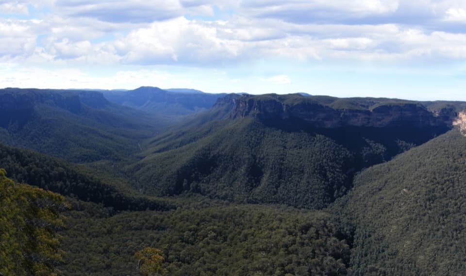 Sight · 0.6 km awayEvans lookoutA short, step-free stop above the forested Grose Valley.
 Visitor center · 2.4 km awayBlue Mountains Heritage CentreWalk advice, free PLB hire and a VR peek at Wollemi pines.
 Sight · 2.5 km awayGovetts Leap lookoutSee the Grose Valley's cliffs without setting off on a bushwalk.
 Sight · 3 km awayFortress Rock LookoutA rugged, unfenced lookout over the Grose Valley.
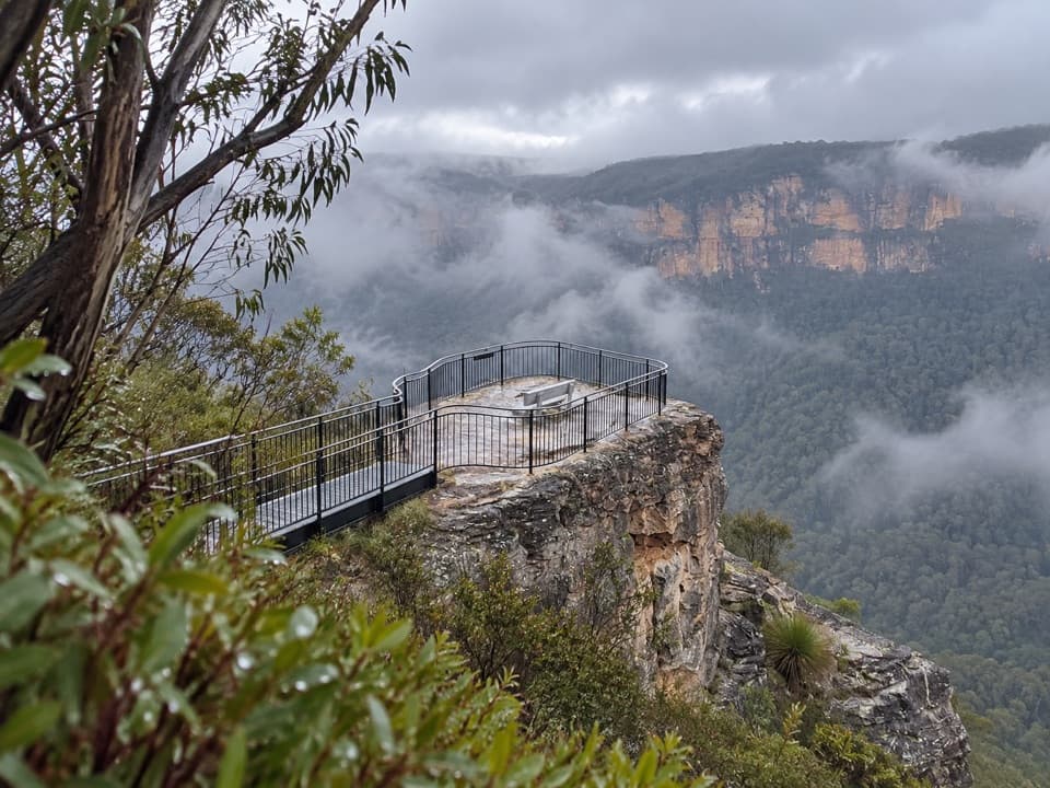 Sight · 3.2 km awayPulpit Rock lookoutStep down the rock blade for wide Grose Valley views.
 Sight · 4.1 km awayLockley PylonA rocky summit with a full sweep across the Grose Valley.
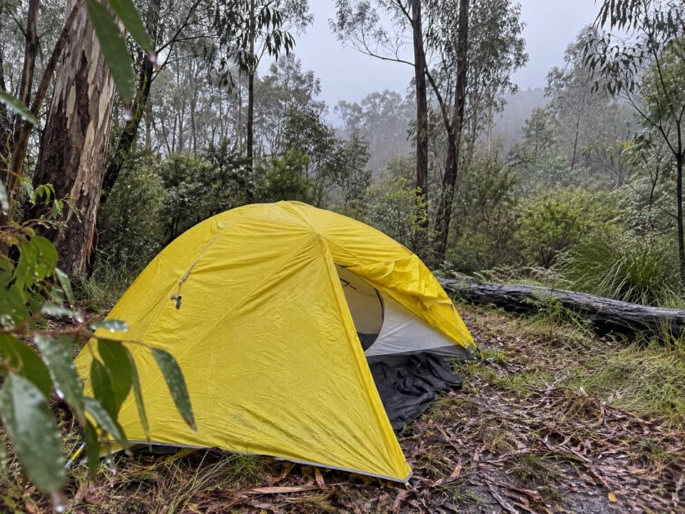 Campground · 5.1 km awayAcacia Flat campgroundA remote tent camp beside Blue Gum Forest.
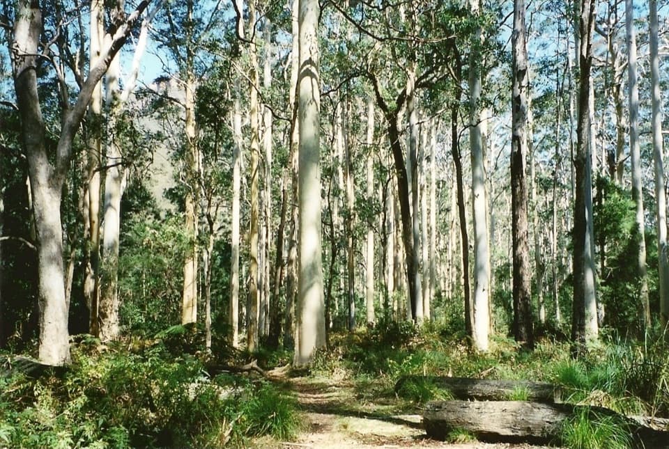 Sight · 5.7 km awayBlue Gum ForestWalk into the grove bushwalkers saved from the axe in 1931.
Parkwolf’s Blue Mountains ranking

The audio tour guide for the drive, plus offline maps, trails, and wildlife heatmaps for when the signal drops.