
Place · 0.1 mi away
Moderate
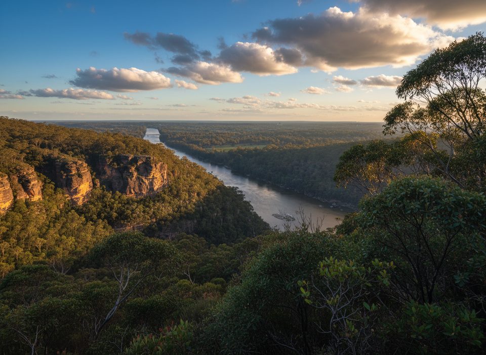
Camp Fire Creek Track is a creek‑hugging bushwalk in the lower Blue Mountains that links the Glenbrook side of the park with the Red Hands Cave precinct. Walk it as an out‑and‑back for about 7 km total (roughly 4.4 miles), or fold it into a longer loop with Red Hands Cave walking track and fire trail if you want extra distance. Expect a moderate Grade 3 experience: mostly easy going, but with uneven rock, steps, and short undulations.
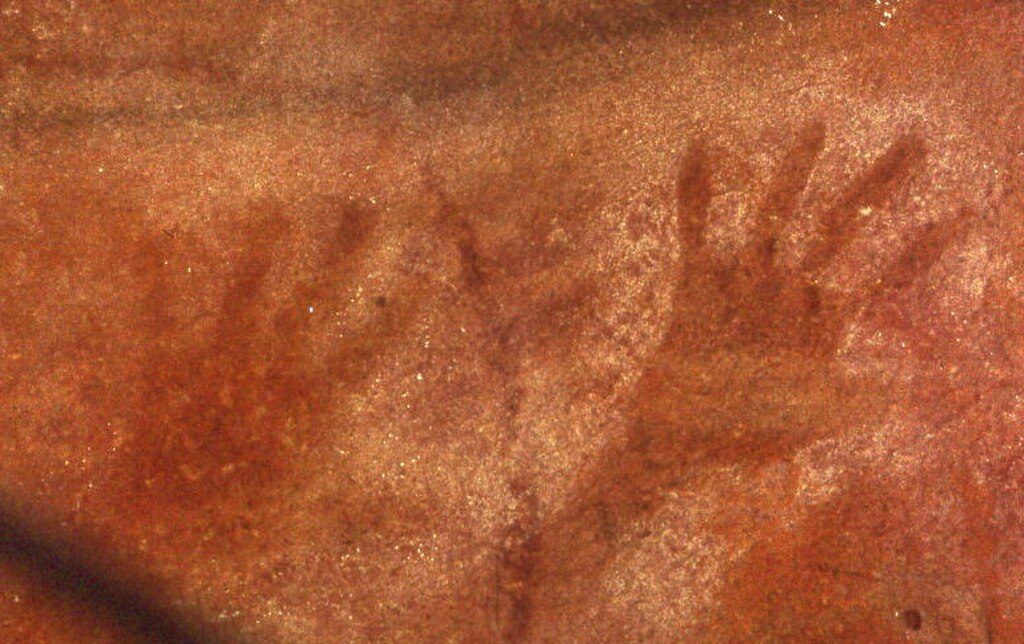
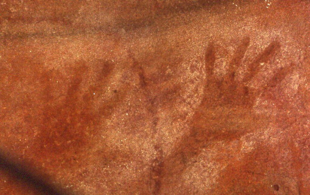
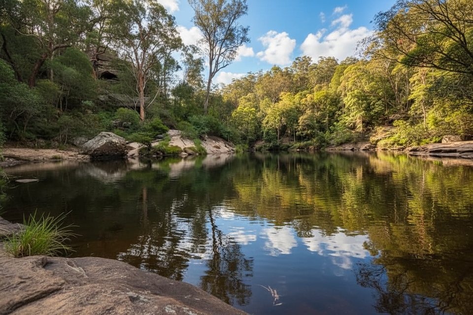
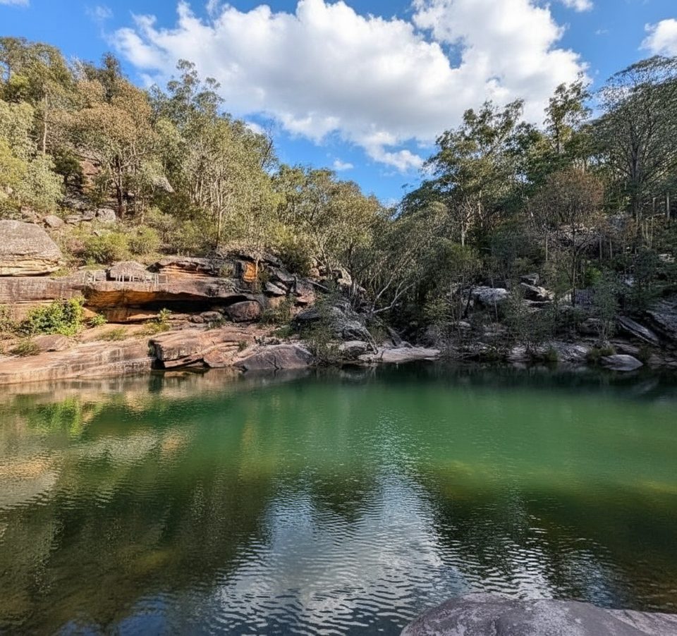
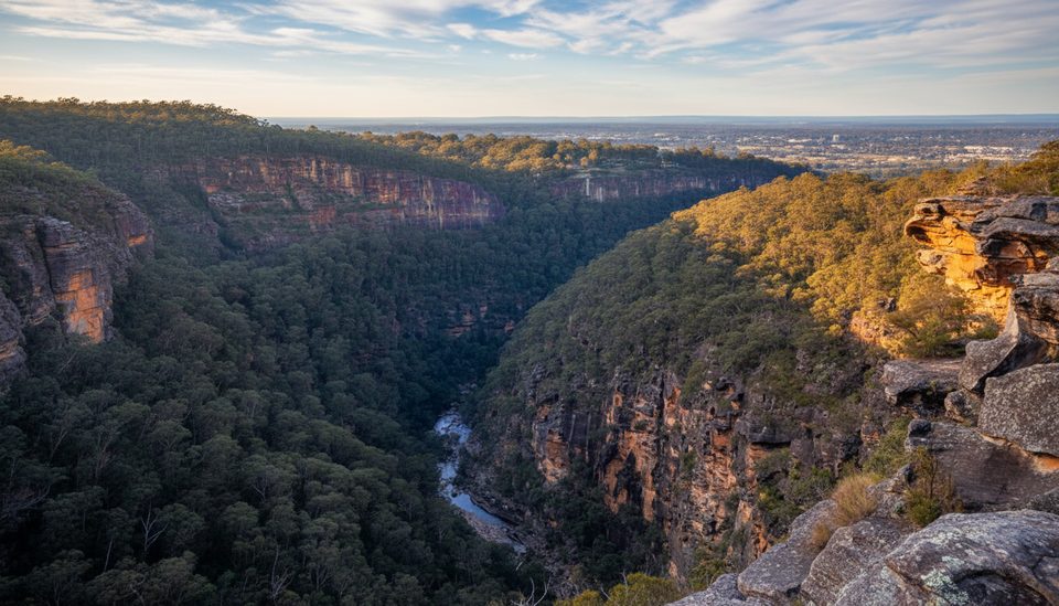
This is a gully walk—think eucalypt forest above, a ferny understory along the water, sandstone overhangs and boulders, and the constant sound of the creek. Keep an eye out for eastern water dragons sunning on rocks and a good mix of birdlife (rainbow lorikeets are common). Along the creek are culturally significant axe‑grinding grooves in the sandstone, and just up the way sits Red Hands Cave, where ancient hand stencils are viewed from a platform. It’s not a big‑vista hike; it’s about texture, shade, and quiet.
Underfoot is natural bush track: dirt, rock steps, and occasional damp, slick patches near the water. There are minor creek crossings and short, steep pinches, but no technical scrambling. The track is signposted at junctions, yet a simple map or GPS helps if you plan to tack on side trips. Phone reception can dip in the gully. After rain, expect slippery rock and the odd leech—grippy shoes and insect repellent pay off.
It’s good year‑round. The shaded creek makes warm days very doable; spring brings wildflowers and active birdlife; winter mornings can be chilly and the track can stay wet after rain. Summer starts are best early. Weekdays or early mornings are the quietest if you want the gully to yourself.
This is a place with deep Aboriginal heritage. Look, learn, and leave no trace: don’t touch the hand stencils or the grinding grooves, and skip flash photography at Red Hands Cave. Treat the creek with care and stick to the formed track to protect sensitive spots.
Most people start from Red Hands Cave car park and walk down the creek and back, or link it into the popular Red Hands Cave loop. There’s also access from the Glenbrook side if you’re connecting to Euroka. Bring all the water you need; there’s no potable water on the track. Vehicle entry fees apply for the Glenbrook Area—check gate hours if you’re driving. Sturdy footwear, sun protection, and a snack for the creekside picnic spots make this a very easy day out.
Park at Red Hands Cave car park (off Red Hands Cave fire trail) or at the Glenbrook side near the causeway/Euroka network. Vehicle entry fees apply at the Glenbrook Area gate; check opening hours.
Creekside rocks get very slippery after rain and minor crossings can swell; leeches are reported in wet conditions; reception is patchy; do not touch cultural sites or use flash at Red Hands Cave.
Place · 0.1 mi away
Place · 1.7 mi away
Place · 1.7 mi away
Place · 1.8 mi away
Moderate · 0 mi away
Easy · 1.7 mi away
Easy · 1.8 mi away
Challenging · 1.8 mi away

Parkwolf Tour Guide
