
Place · 0.1 mi away
Moderate
This lower-Blue Mountains classic blends culture and bushwalking in one tidy package. The main Red Hands Cave loop is about 8 km total and graded Moderate (Grade 3). Expect a well-signed natural track with some uneven footing and short steep pinches, especially if you include the approach from the Glenbrook entrance. If you’re short on time, a much shorter 1 km return path from the dedicated car park gets you to the cave fast.
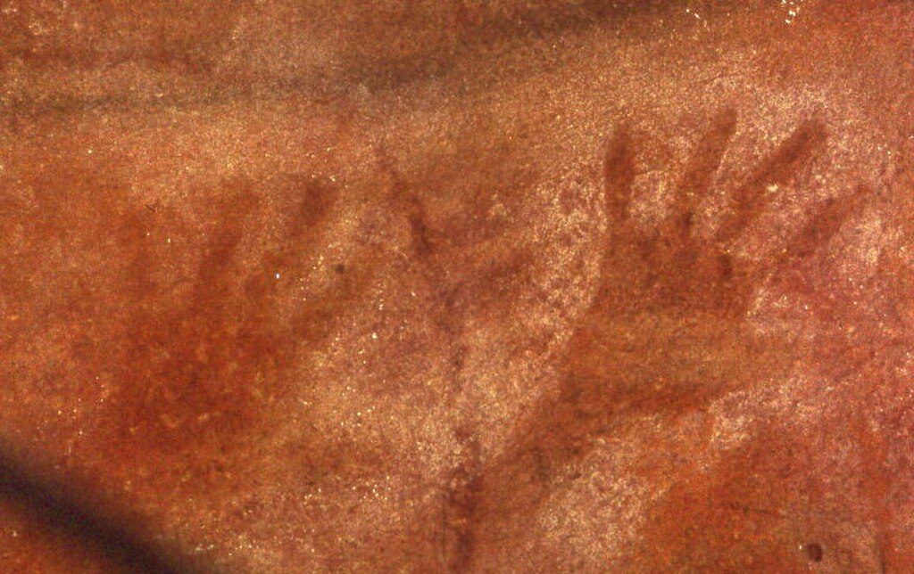
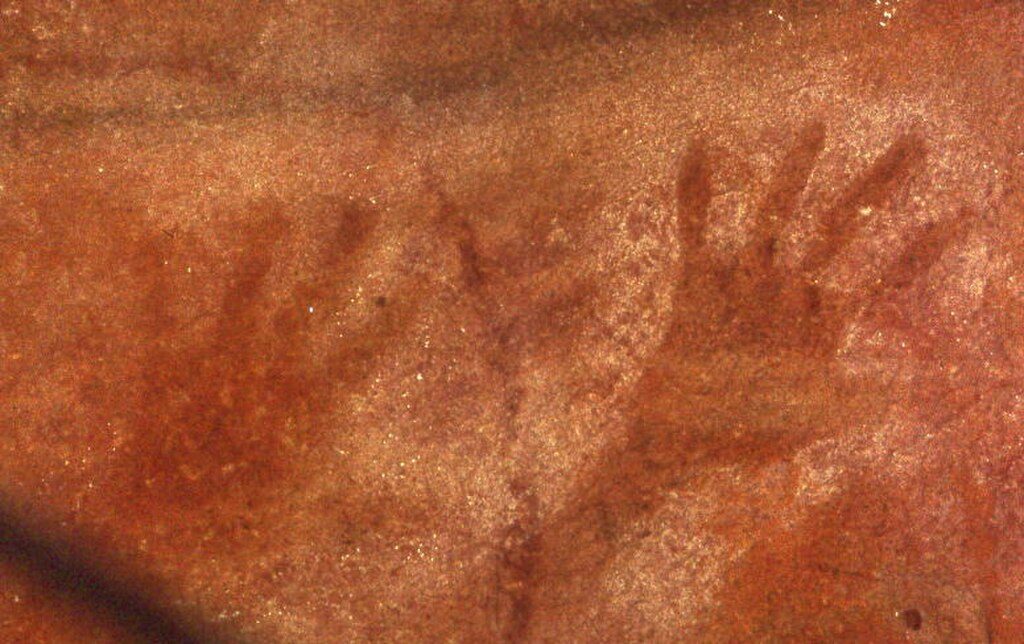
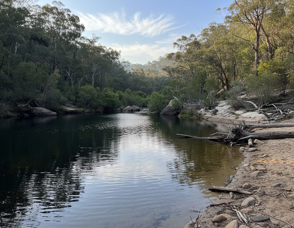
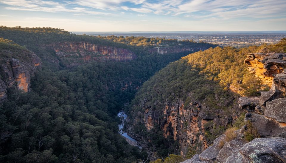
The headline is Red Hands Cave—one of the best Aboriginal stencil galleries in the region—layered with red, yellow, and white hand stencils created by blowing ochre over hands placed on the sandstone overhang. It’s a powerful, visually striking site. Along Camp Fire Creek, keep an eye out for Aboriginal axe grinding grooves in the bedrock, a tangible trace of ancient tool-making. Between the creek and Red Hands Gully you’ll walk through tranquil eucalypt forest with rocky outcrops, seasonal wildflowers, and birdlife. If you start or finish near Jellybean Pool, it’s a lovely spot for a summer cool-down.
The track is generally well signposted, but bring a map or GPS if you’re tackling the full loop. After rain, expect slippery rock and mud; leeches and ticks can be about in warmer months. The causeway can flood, occasionally cutting off access. Glenbrook area gates have set opening hours, and vehicle entry fees apply. The road to the closer car park is unsealed, so allow time and drive to conditions. At the cave, respect the site: do not touch the art and avoid flash photography.
Most walkers with moderate fitness will be fine. The loop has undulating terrain and some stair/rock steps; the short 1 km return from the car park is easy-going. Plan 1.5–2.5 hours for the loop depending on pace and photo stops; the quick approach can be done in well under an hour.
Year-round is viable. Spring and autumn offer the easiest temperatures and good wildflowers. Summer can be hot—start early and consider a dip at Jellybean Pool afterward. Winter brings cool, quiet walking; watch for post-rain mud. Whenever you go, check current conditions and any park alerts before you set out.
Two main options: park near the causeway inside the Glenbrook area for the full 8 km loop, or drive ~13 km past the Glenbrook gate via The Oaks and Red Hands trails to Red Hands Cave car park for a 1 km return walk. Gates have set hours and vehicle entry fees apply.
Respect the cave (no touching or flash). Slippery after rain; leeches/ticks in warm months. Causeway may flood. Glenbrook gates have limited hours; the road to the closer car park is unsealed.
Place · 0.1 mi away
Place · 1.7 mi away
Place · 1.7 mi away
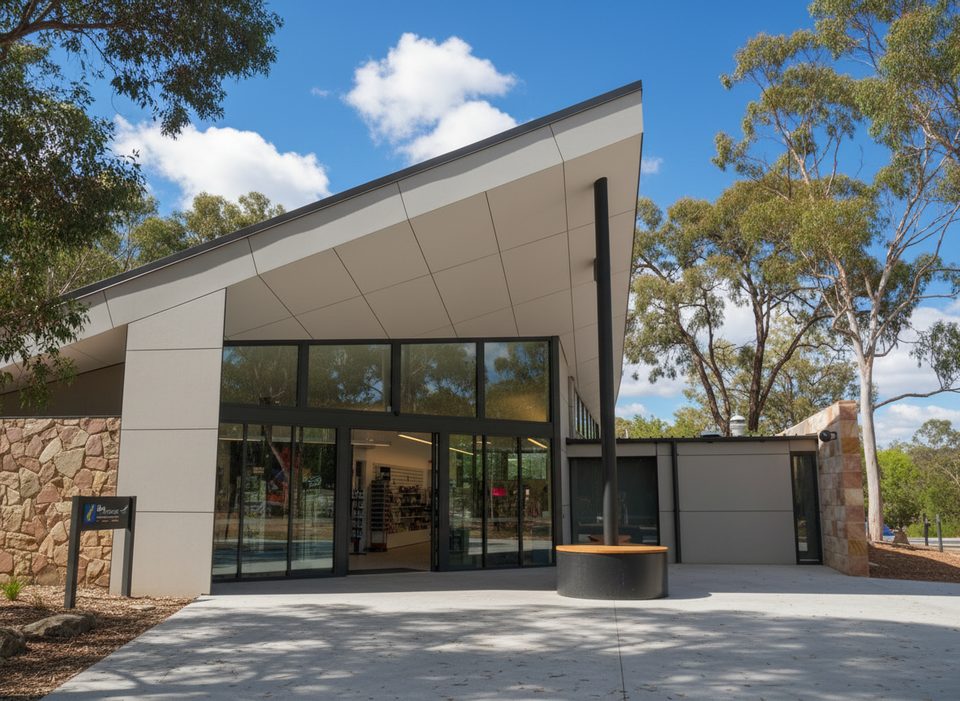
Place · 1.8 mi away
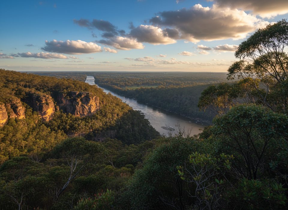
Moderate · 0 mi away
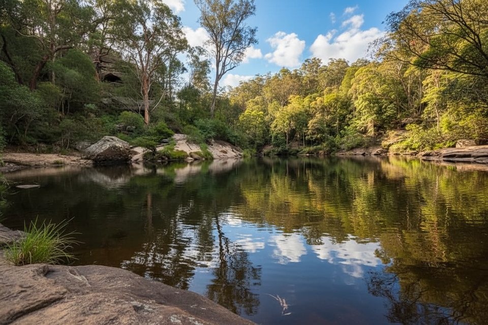
Easy · 1.7 mi away
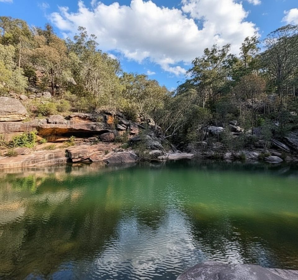
Easy · 1.8 mi away
Challenging · 1.8 mi away

Parkwolf Tour Guide
