
All Blue Mountains trails
110 trails
 1Grand Canyon trackA ferny creek gorge, waterfalls and sandstone slots in one loop.
 2Three Sisters walkA short paved walk to three sandstone spires above a vast valley.
 3Lockley Pylon walking trackA rocky heath walk pays off with a huge Grose Valley view.
 4National PassA cliffside stairway links sandstone ledges, waterfalls, and valley views.
 5Wentworth Pass loop walking trackCliff stairs, waterfalls and a rainforest climb back out
 6Prince Henry Cliff walkA cliff-top walk with Three Sisters views and more than 20 lookouts.
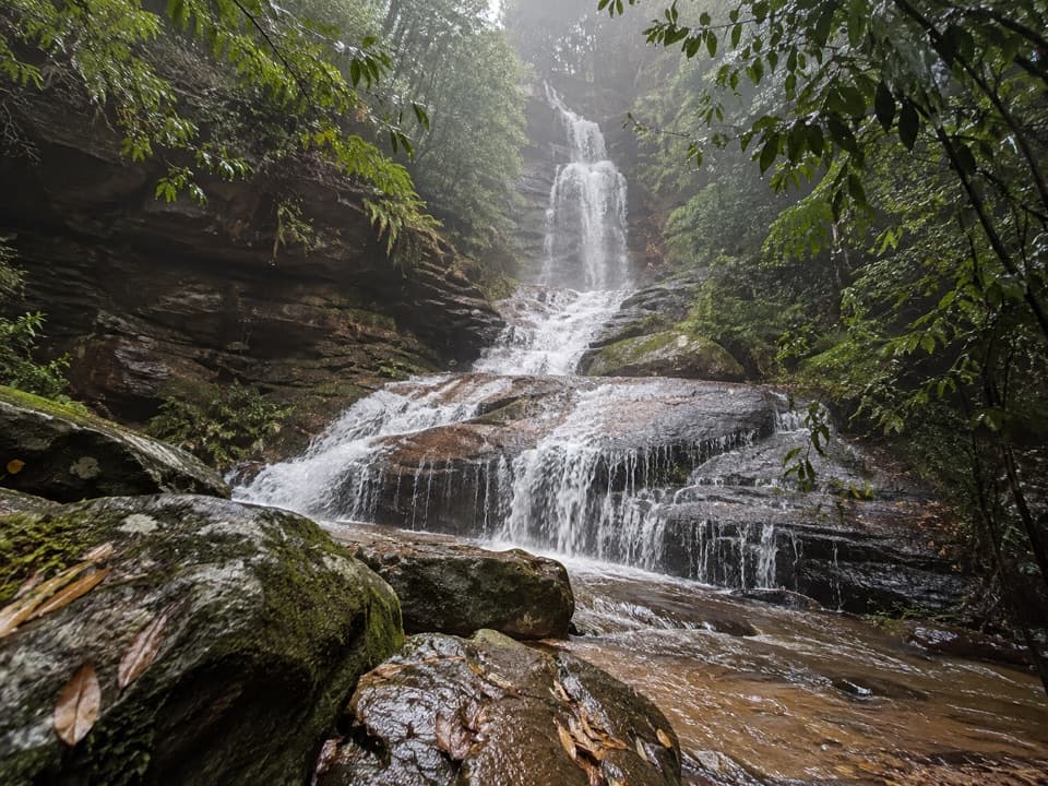 7Valley of the Waters TrackA steep, short return to a tiered waterfall in a ferny gorge.
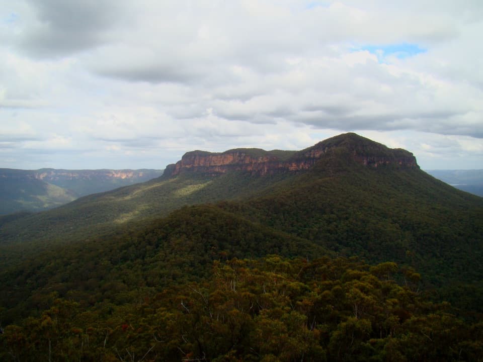 8Ruined Castle walking trackA steep valley hike to sandstone outcrops and mining history.
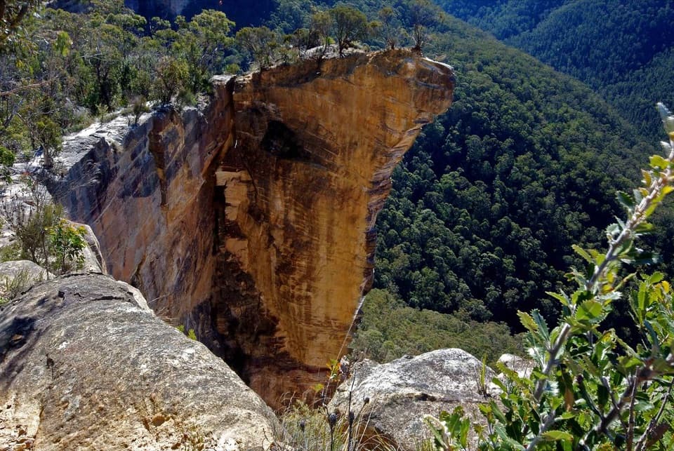 9Burramoko Ridge (Hanging Rock) TrailA long ridge fire trail ends above the Grose Valley.
 10Fortress Ridge walking trackWide Grose Valley views reward a rugged ridge walk.
 11Cliff Top walking trackA stepped cliff-edge walk with Grose Valley and waterfall views.
 12Victoria Falls walking trackA steep 4 km return to a waterfall in the Grose Valley.
 13Red Hands Cave walking trackA creekside loop to a sandstone shelter layered with hand stencils.14Mount Solitary via Golden StairsA full-day climb from rainforest to a remote sandstone summit.
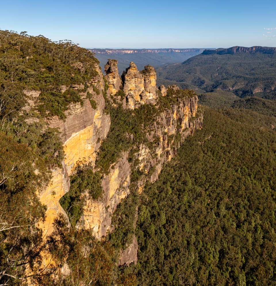 15Grand Cliff Top WalkTwo days linking waterfalls, cliff views and mountain villages.
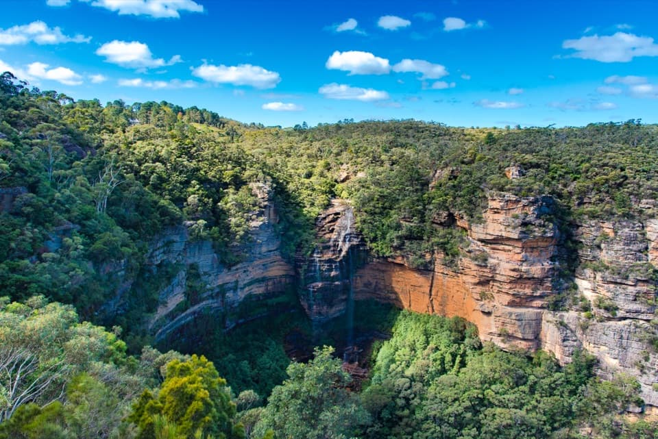 16Wentworth Falls trackShort, steep stairs lead to a 100-metre waterfall and valley views.
 17Federal Pass: Leura to Golden StairsA hard 8.7 km one-way walk through Fern Bower to Golden Stairs.
 18Dardanelles Pass loop walking trackMore than 900 stairs descend into rainforest before the climb out.
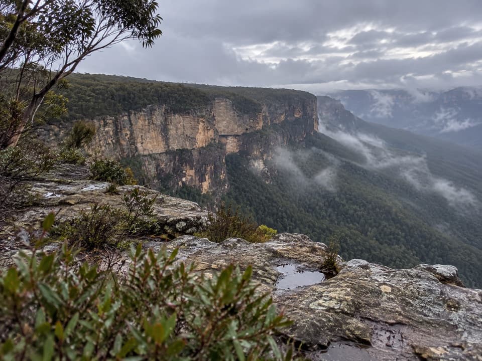 19Butterbox Point walking trackGrose Valley views and ironstone shapes from a short ridge walk.
 20Mount Banks Summit walkOpen ridge views make the steep climb to a wooded summit worthwhile.
 21Walls Lookout TrackA short out-and-back to big Grose Valley views.
 22Leura Cascades Fern Bower CircuitA steep loop through cascades, rainforest and cliffside views.
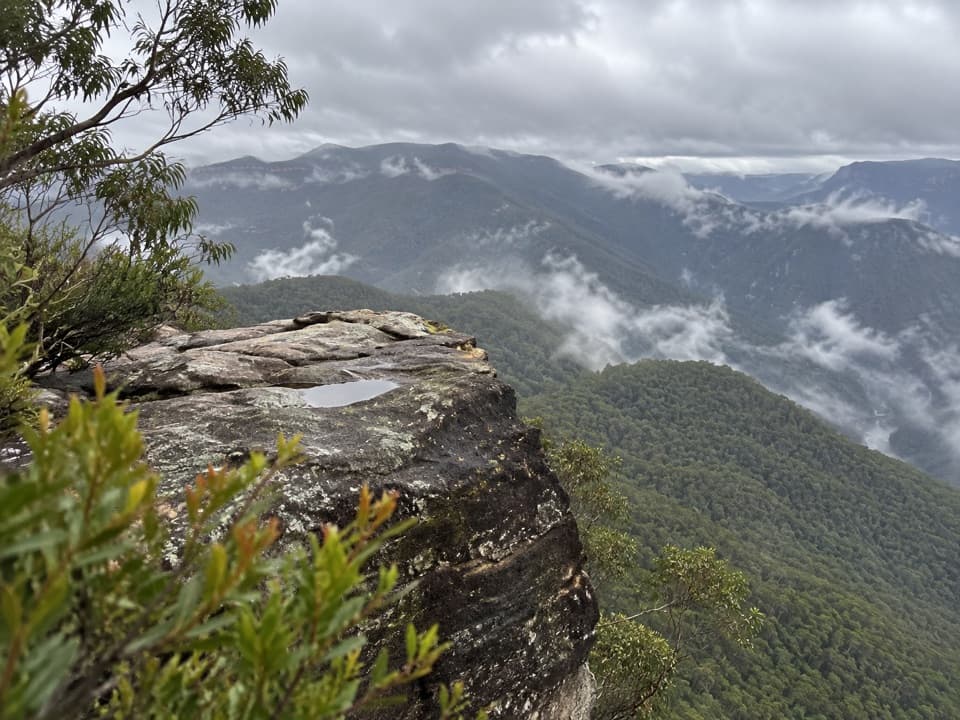 23Splendour Rock from Dunphys campgroundA remote two-day circuit to a cliff-top war memorial.
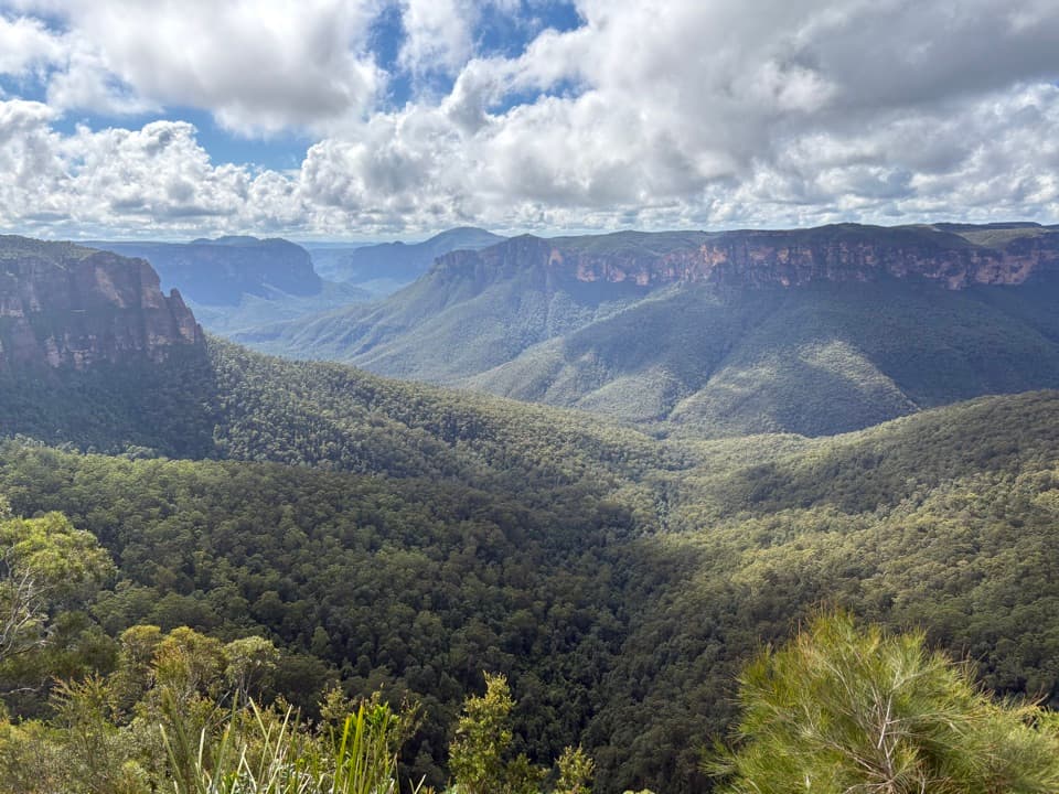 24Fairfax Heritage walking trackAn easy sealed walk to two Grose Valley lookouts.
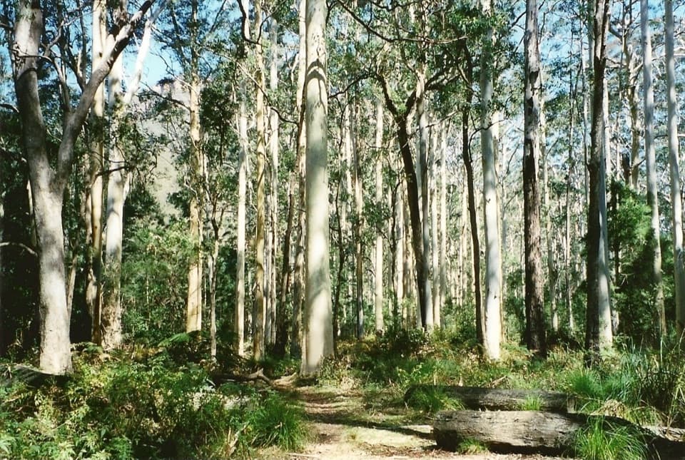 25Perrys Lookdown to Blue Gum Forest walking trackDescend steeply to a forest bushwalkers saved from logging.
 26Ikara Head walking trackA return walk to a rocky headland above Grose Valley.
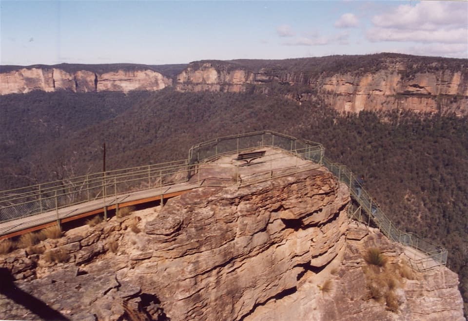 27Pulpit walking trackA cliffline walk to an isolated sandstone blade above the Grose Valley.
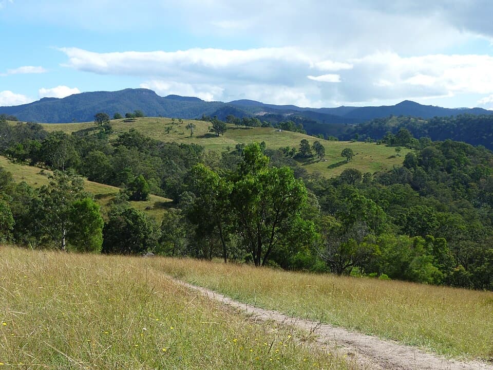 28Six Foot trackFrom Nellies Glen steps to the Coxs River, this takes three days
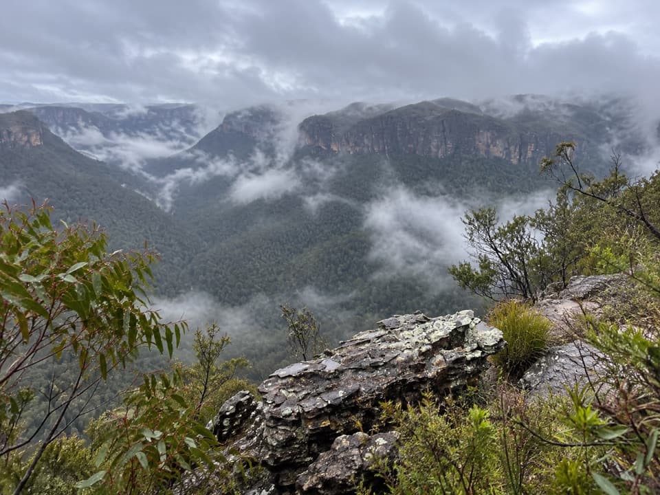 29Hat Hill to Bald HeadA rugged ridge walk to a wide Grose Valley view.
 30Mount Hay summit walking trackSteep climb to a forested summit above the Grose Valley.
 31Walls Cave TrackSteep steps lead to a creek crossing and a huge sandstone overhang.
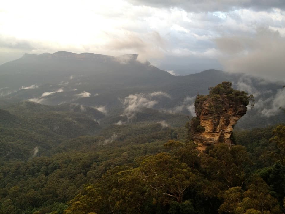 32Round walking trackA compact loop pairs waterfall lookouts with a shady ferny gorge.
 33Pierces Pass to Blue Gum Forest walking trackA steep Grose Valley descent to rainforest, river and Blue Gum Forest.34Mount Solitary walking trackRainforest, tramway history, and a rough ridge in a three-day loop.
 35Dr Dark's Cave WalkA steep, unsigned scramble to a storied sandstone overhang.
 36Wentworth Falls to Leura walkWaterfalls, cliff views and a full day of stairs between villages.
 37Gordon Falls to Katoomba walkA cliffside crossing of waterfalls, sandstone steps and valley views.
 38Dargans Arch TrackA short sandstone-arch walk with a rough, rocky finish.
 39Sassafras Gully, Victory Track and Magdala Gully LoopSandstone gullies, waterfalls and creekside track from Springwood.
 40Echo Point to Scenic World via Giant StairwayDescend the Giant Stairway, cross the valley, climb to Scenic World.
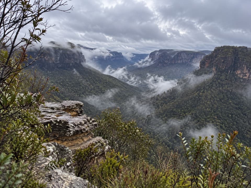 41Asgard Head walking trackA 6 km return walk to an open Grose Valley lookout.
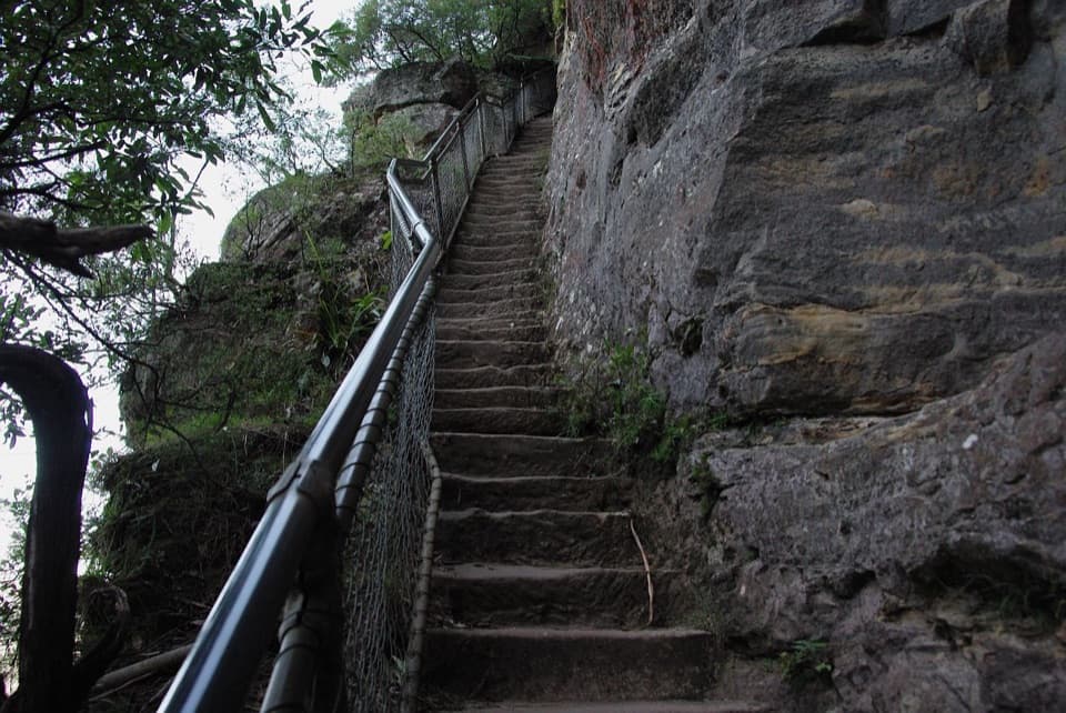 42Fern Bower to Furber Steps walkA steep valley crossing from one stairway to another.
 43Fortress Rock Lookout WalkOrange cliffs over the Grose Valley, on a short walk.
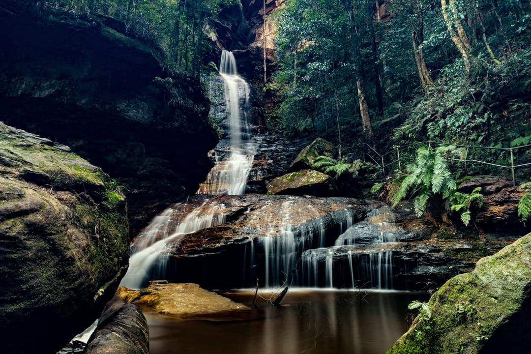
 44Empire Pass loopFour falls, rainforest steps, and one turn worth watching.
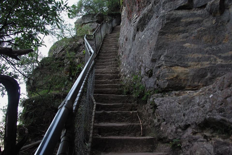 45Furber Steps walkA stairway drops through rainforest to the base of Katoomba Falls.
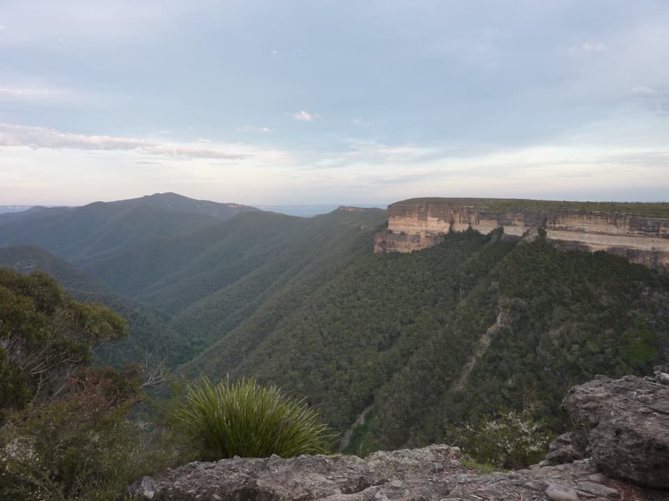 46Kanangra to Katoomba (K2K)A remote three-day traverse from cliff tops to a river ford.
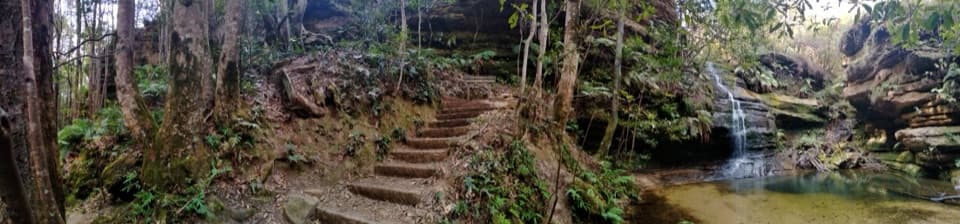 47Pool of Siloam walkA waterfall walk with steep steps and a creekside pool.
 48Nature trackShort Conservation Hut loop through fern gullies, falls and valley views.
 49Scenic WalkwayA ticketed rainforest boardwalk links valley stations beneath the canopy.
 50Blackheath to Mount Victoria via Grose ValleyA long crossing of the Grose Valley through Blue Gum Forest.
 51Paradise Pool walking trackA pool below a waterfall rewards the rocky walk back out.
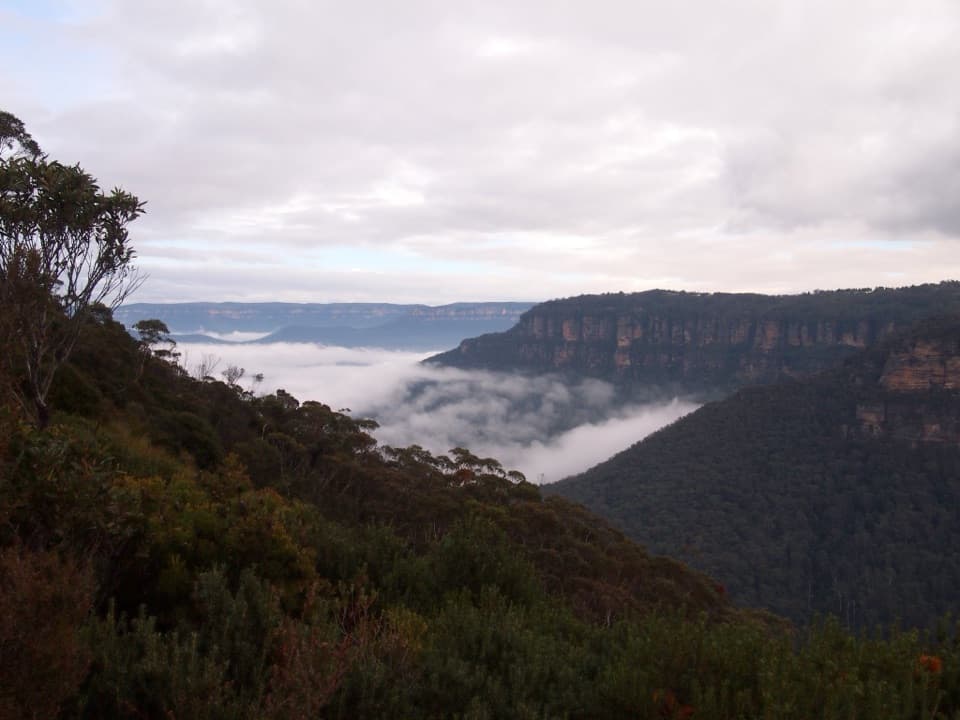 52Rocket Point lookout trackStepping stones, a steep climb, and a close view of Wentworth Falls.53Blue Gum Forest via Lockley PylonPylon panoramas give way to a steep descent into blue gum forest.
 54Lyrebird Dell walking trackSteep stairs link Pool of Siloam’s waterfall to a sandstone cave.
 55Crayfish Pool and Grey Hat Falls walkA steep, unmarked out-and-back to a waterfall pool.
 56Princes Rock walking trackA short stepped walk reaches a historic lookout over Wentworth Falls.
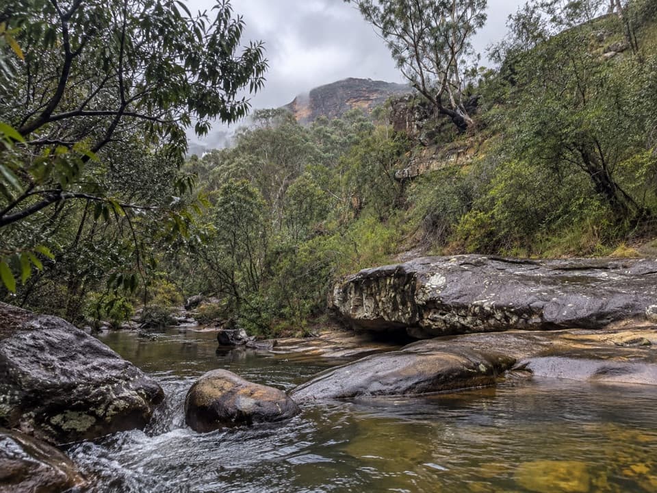 57Horse Track to Junction RockStair-heavy descent to cascades and pools at Junction Rock.
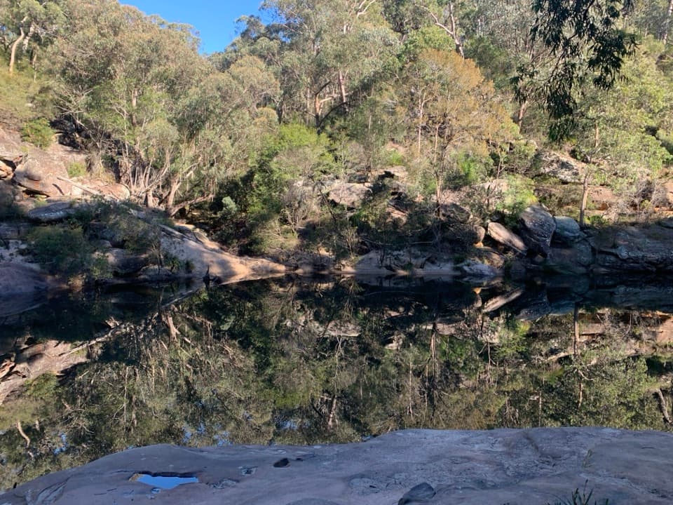 58Jellybean trackA short pool walk with a stair-heavy climb on the way back.
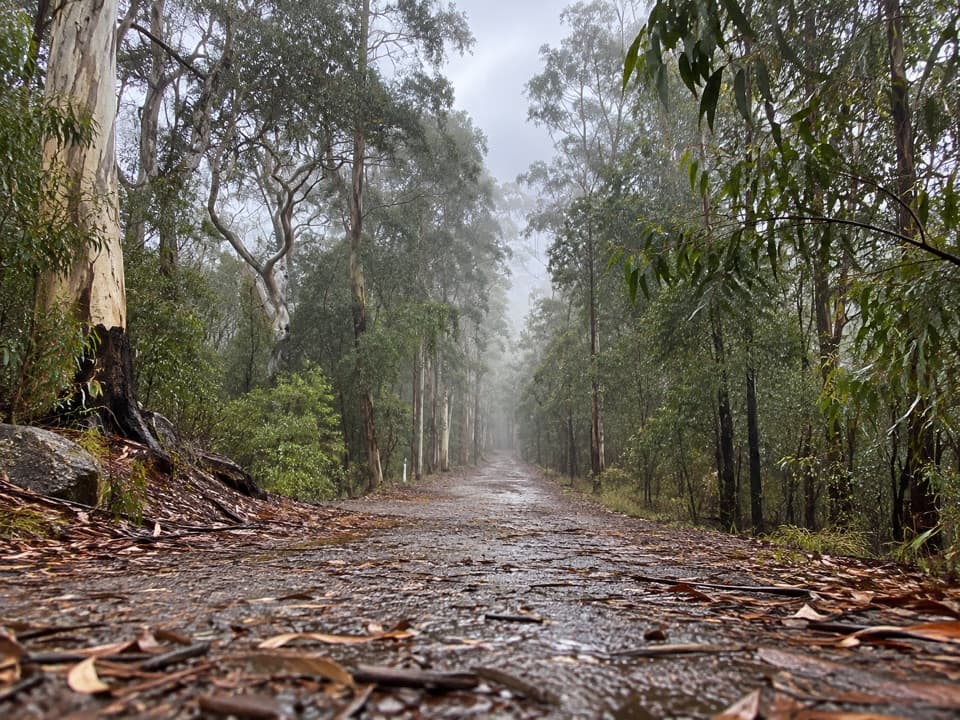 59Kedumba Valley LoopA big descent into a historic valley, then the long climb out.
 60Martin's Lookout to Lost World LookoutA steep creek crossing links two lookouts across Glenbrook Valley.
 61Rigby Hill walking trackA short ridge walk ends above the Grose Valley.
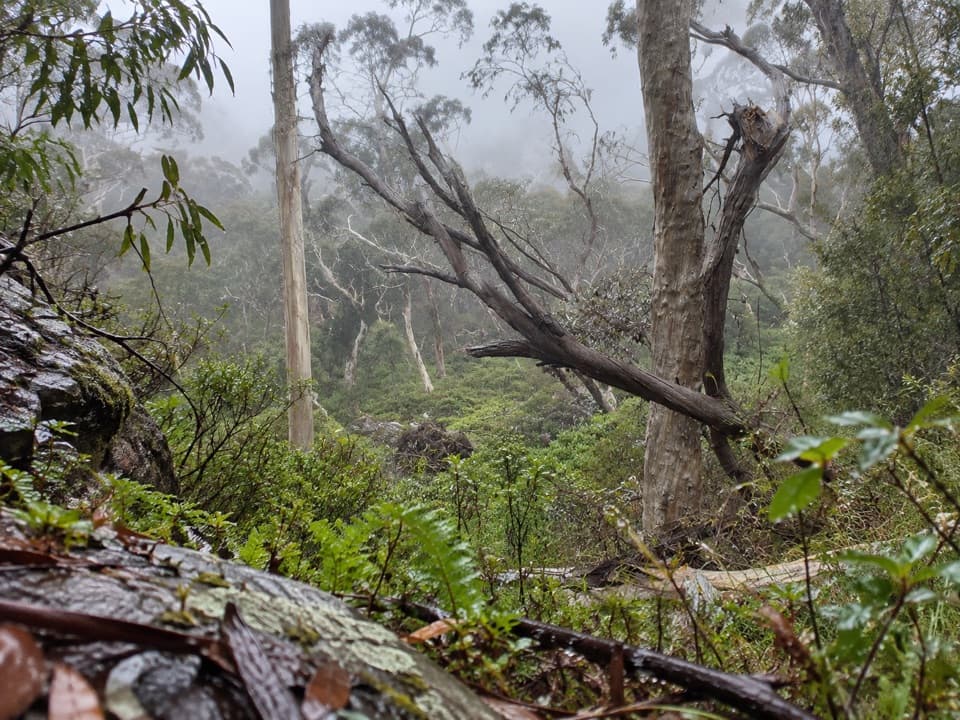 62Popes Glen TrackA ferny creek route that climbs to the Grose Valley rim.
 63Gladstone Pass–Roberts Pass loopA steep loop through fern gullies and two historic passes.
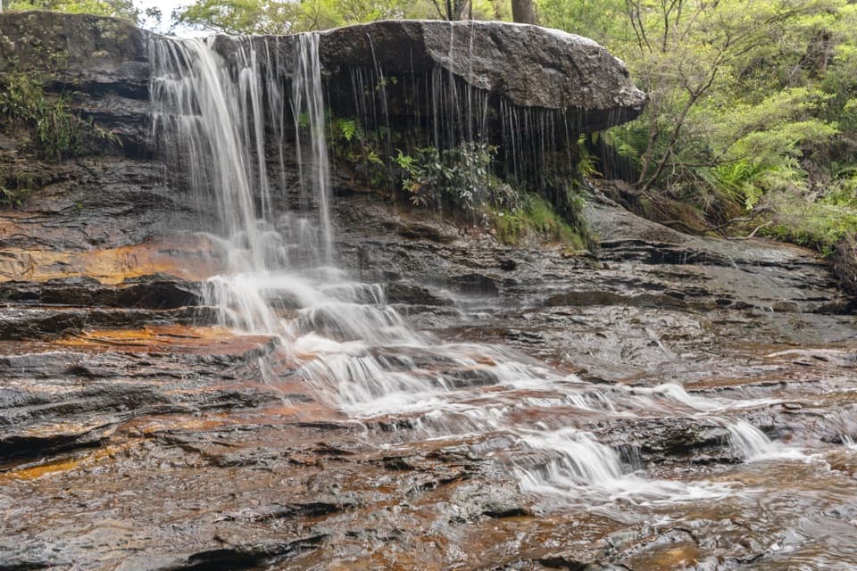 64Weeping Rock circuitLookouts, steep steps and a creek waterfall on a compact loop.
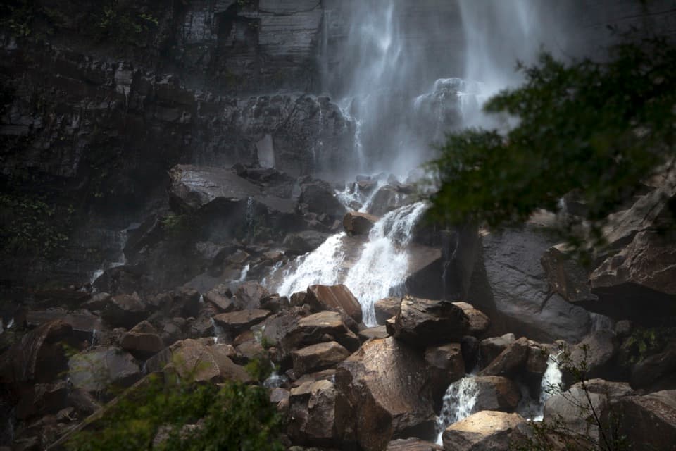 65Govetts Leap descentA steep 1.8 km return walk to the falls and back.
 66Blue Gum Swamp and Shaws Ridge LoopRidge fire trail gives way to a fern-filled blue gum valley.
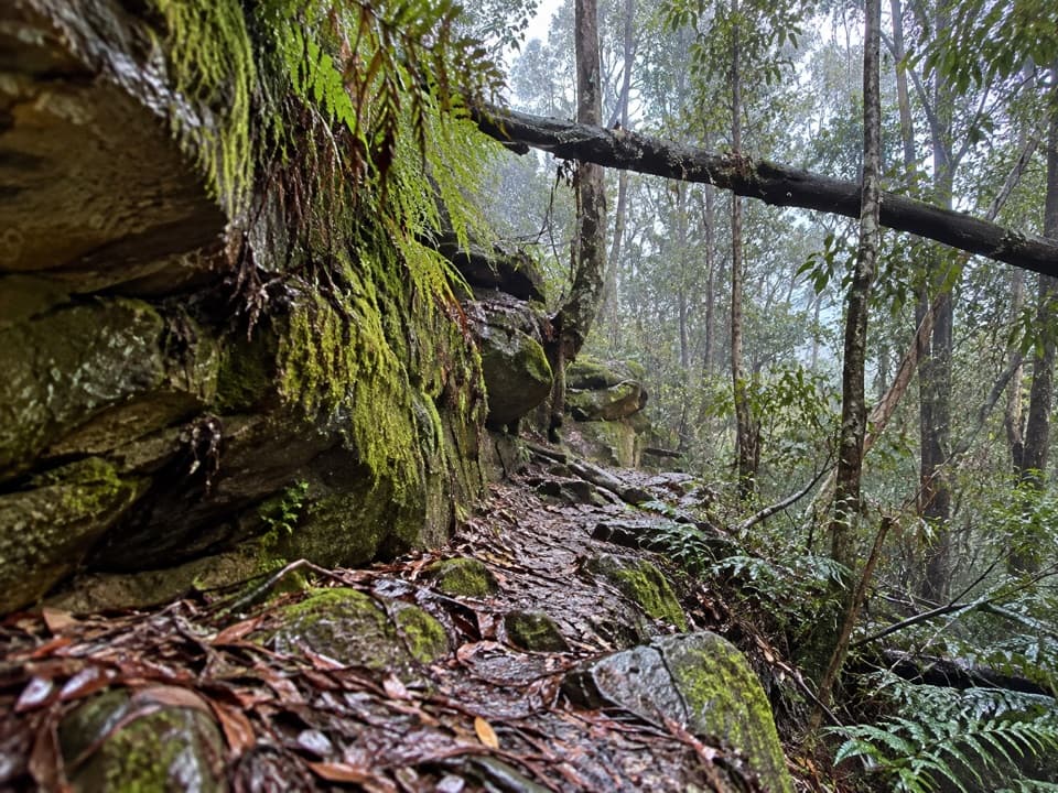 67Faulconbridge to Springwood via Sassafras GullyA shaded creek descent ends with a tough climb to Springwood.
 68Den Fenella walking trackA short stairway into tree-fern rainforest and a creekside cascade.
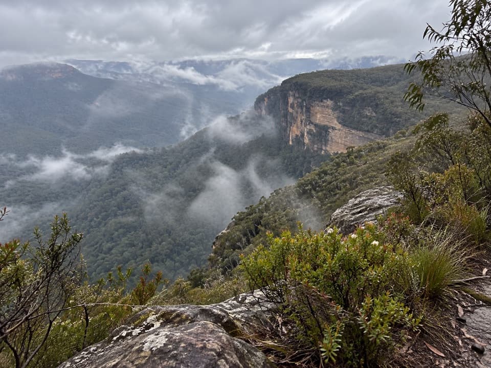 69Lions Head walking trackAn unmarked ridge walk to a broad Kedumba Valley view.
 70Glenbrook Gorge trackSteep steps descend to Glenbrook Creek's rugged gorge
 71Jack Evans walking trackA steep descent to Erskine Creek's deep swimming holes.
 72Bulcamatta Falls TrackA short creek walk ends at a small sandstone waterfall.
 73Duck Hole walking trackSandstone cliffs and a sandy swimming hole reward this bush walk.
 74Nepean River walking trackA quick gorge loop to the Nepean, with a steep climb back.
 75Grose Head South Lookout via Blue Gum Swamp TrackA 13 km loop to a rock lookout above Lower Grose Valley.
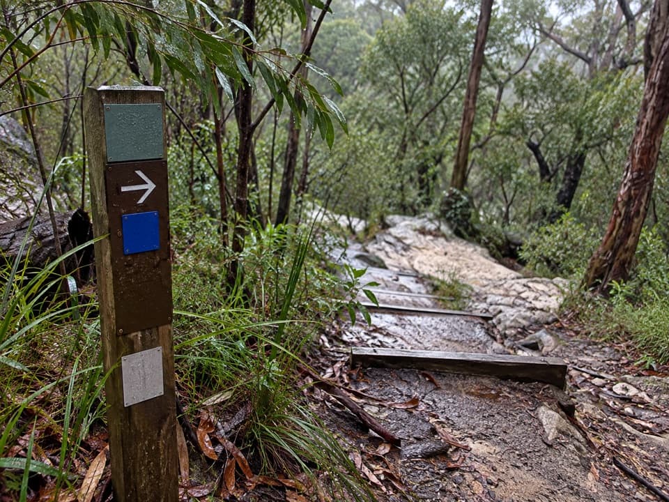 76Blue Pool walking trackA 0.5 km return walk to a fern-fringed creek waterhole.
 77Giant Stairway998 steps take you down to Honeymoon Bridge.
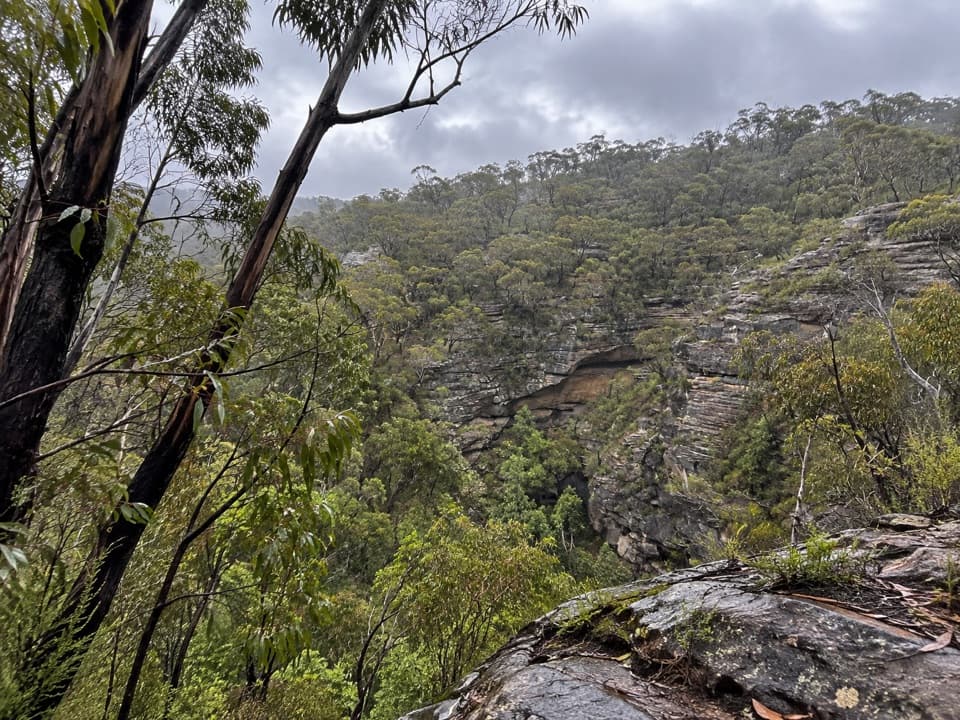 78Wollangambe River walking trackSandstone gorge and riverbank at the end of a steep descent.
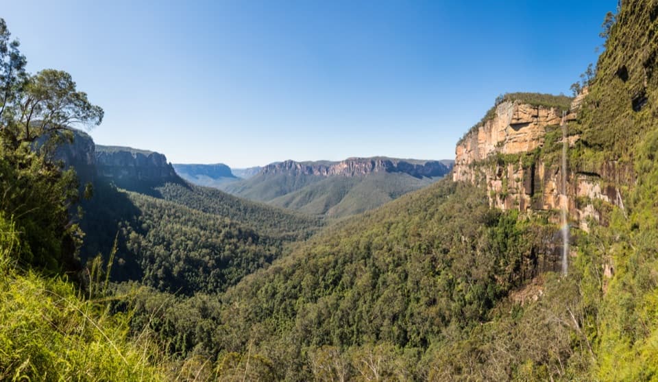 79Rodriguez Pass walking trackA full-day loop linking waterfalls, a canyon floor and cliff-top views
 80Transit of Venus walking trackA shaded forest loop links three small falls near Woodford.
 81Pierces Pass to Grose RiverA steep track to the river, then every step back up.
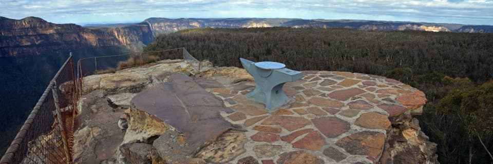 82Anvil Rock and Wind Eroded Cave WalkTwo short spurs pair a valley lookout with a sculpted cave.
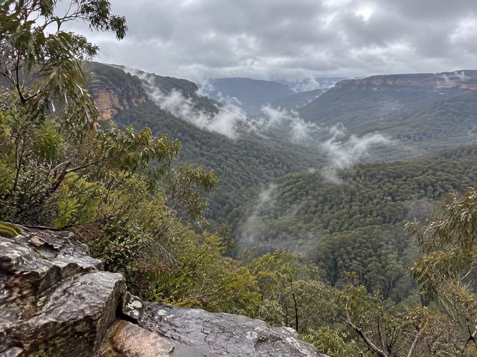 83Golden Stairs walking trackA steep stairway down to Federal Pass, with the climb waiting.
 84Narrow Neck trailA long plateau walk to Clear Hill above two deep valleys.
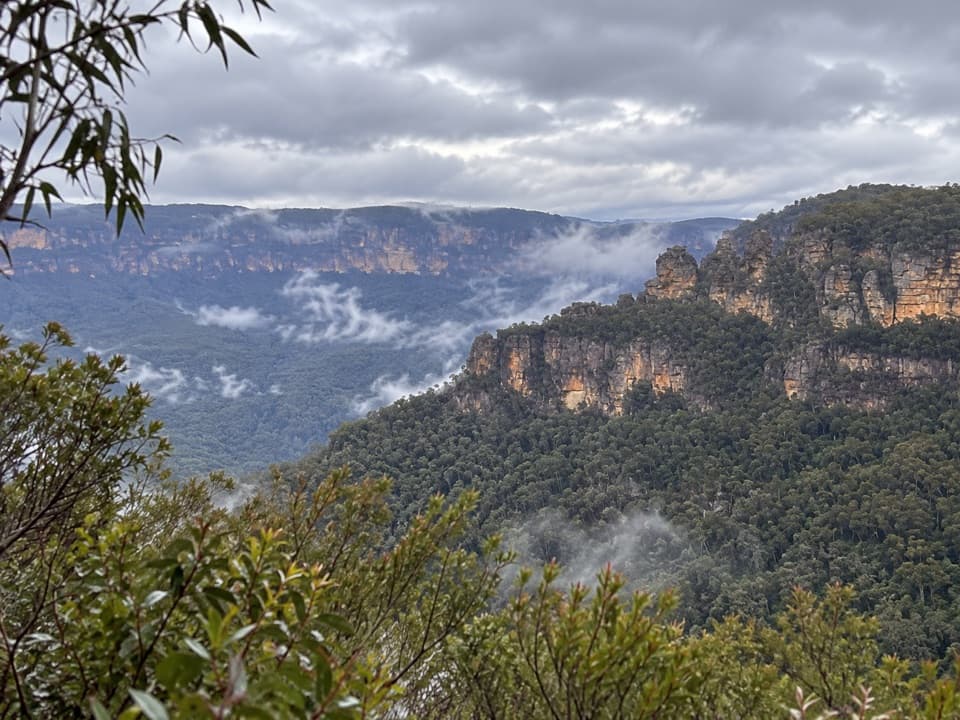 85Sublime Point Lookout WalkA short walk ends at a big view across Jamison Valley.
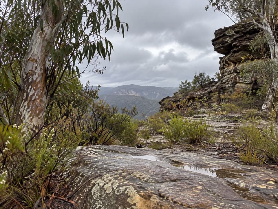 86Wollangambe Crater walkRough 18 km return through pagoda country to a remote crater bowl.
 87Inspiration Point walking trackTwo valley lookouts, with both Wentworth Falls drops in view.
 88Braeside walking trackA quiet creekside walk to a waterfall view over Grose Valley.
 89Ruby Creek walking trackMining history, stone steps and a 60m waterfall over forest
 90Warrimoo to Glenbrook via St HelenaFollow the ridge to Glenbrook, with sandstone lookouts and a creek beach.
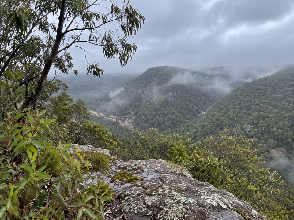 91Pisgah Rock walking trackA short spur to an informal rock lookout above Erskine Creek Gorge.
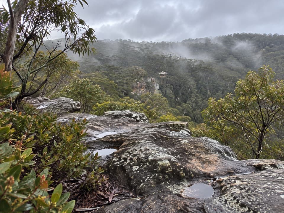 92Chinamans Hat and Pheasants Cave LoopA short cliffside loop leads to a cool gully and huge overhang.
 93Erskine Creek via Pisgah RockEasy to the lookout; hard scrambling to the creek.
 94Blue Dog Ridge LoopA remote ridge circuit with 1,300 metres of climbing
 95Mount Banks Road cycle routeAn unsealed ridge road ends above the Grose Valley
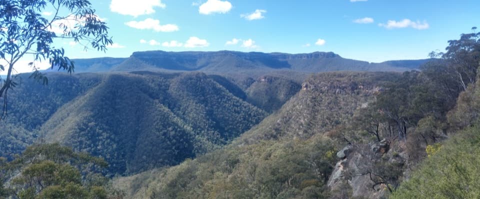 96Wild Dog Mountains Loop from Dunphys CampgroundA remote, full-day ridge loop with broad views across sandstone valleys.
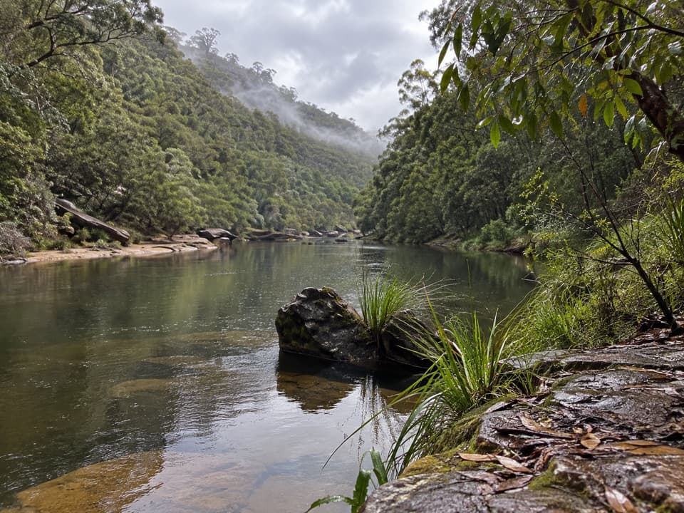 97Grose River Walking Track from FaulconbridgeA long ridge walk drops steeply to a remote Grose River pool.
 98Woodford – Oaks trailOpen heath and eucalypt forest make this a satisfying one-way walk.
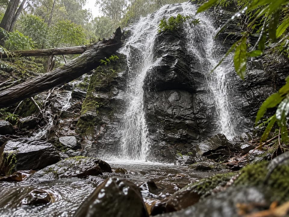 99Waterfall Reserve walking trackTwo falls and a memorial bridge on a short rainforest loop.
 100Faulconbridge Ridge TrailWalk a shaded firetrail to a rocky lookout over the Grose River.
 101Lawson Ridge walkA quiet firetrail walk from Lawson to a forested ridge.
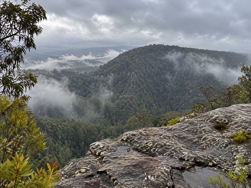 102Rileys Mountain TrailA short ridge walk to an unfenced Nepean River lookout.
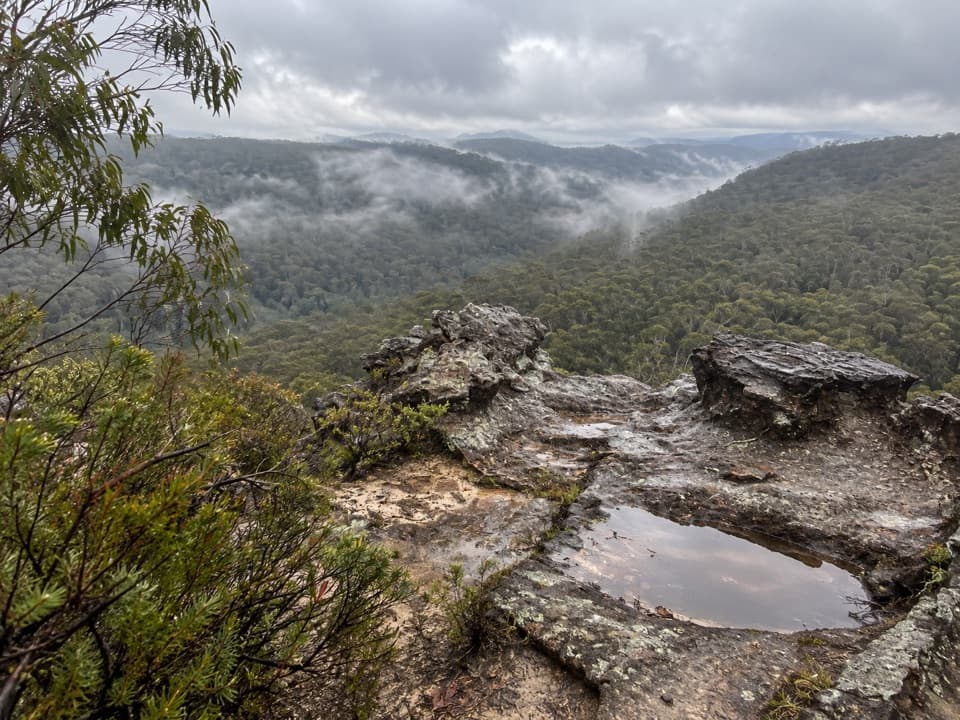 103Linden Ridge FiretrailA long ridge firetrail with intermittent sandstone views.
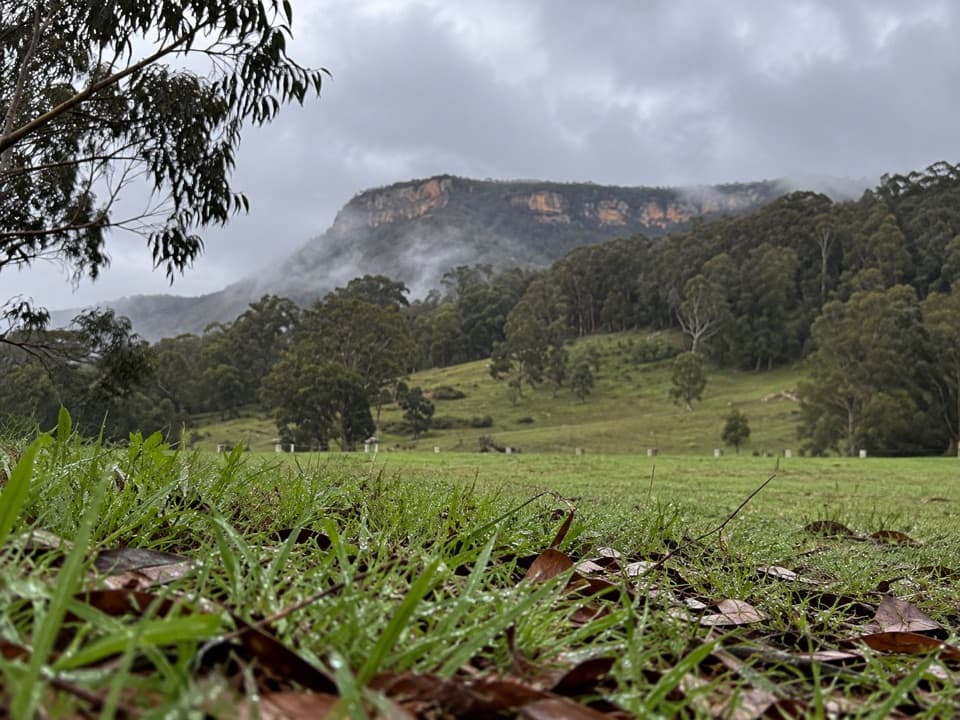 104Bellbird Lookout TrackOpen forest tracks lead to a broad lookout above Carlons Creek.
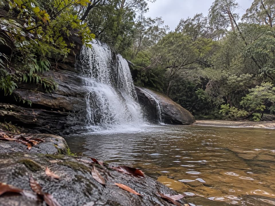 105Woodford to Murphys Glen and Bedford CreekForest tracks lead to waterfalls and a deep sandstone creek pool.
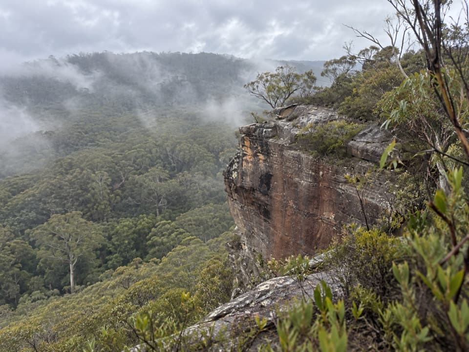 106Flat Top WalkA short, steep climb buys a wide Grose Valley outlook.
 107Kings Tableland Walk to Rocket PointA short bush track ends at a waterfall view from the escarpment.
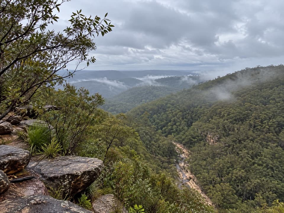 108Tunnel View walking trackA short walk to a broad valley and two 1911 rail tunnels.
 109Ingar Campsite LoopA punchy climb packed into a loop from Ingar Campground.
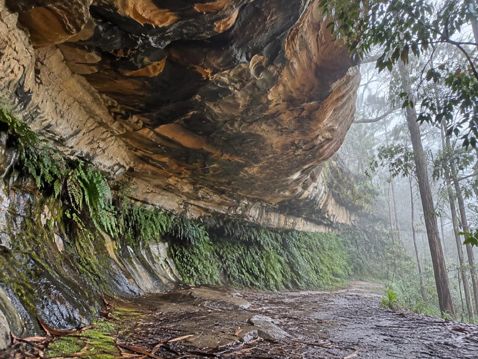 110Kings Cave walkA quick walk to a broad sandstone shelter in Linden.

The highest, rockiest slopes around here are a summer buffet for grizzly bears.
Blue Mountains Tour Guide
Blue Mountains, narrated.
Parkwolf is a GPS audio tour guide for Blue Mountains National Park. As you drive, it chimes in with what’s ahead: hidden gems, upcoming stops, history, geology, and wildlife, right through your car’s speakers.
See the Blue Mountains audio tourRecorded for this place
Echo Point and the Three Sisters0:00 / 0:35
“You're approaching Echo Point, the stop I'd choose for the classic view of the Three Sisters without a hike.”
Plays as you drive up to Echo Point Lookout (Three Sisters) in the Parkwolf Blue Mountains Tour Guide.
More stories near here in the app
- Katoomba Falls and Cascades
- Eagle Hawk Lookout
- Scenic World's Rides and Rainforest
- Leura Cascades and the Fern-lined Creek
- 188 audio storiesacross Blue Mountains’s roads, triggered by GPS as you drive
- Wildlife heatmapsfor Grey Kangaroo, Wombat, Red-necked Wallaby, and 13 more
- Works offlinemaps, 110 trails, 84 places, and audio download before you lose signal
- CarPlay readysimple controls built for the drive
“Fantastic app with many points of information… It’s great to just turn on while you’re driving and it gives you an audio tour of the national Park. We love it!!!!”

