
Place · 0 mi away
Easy
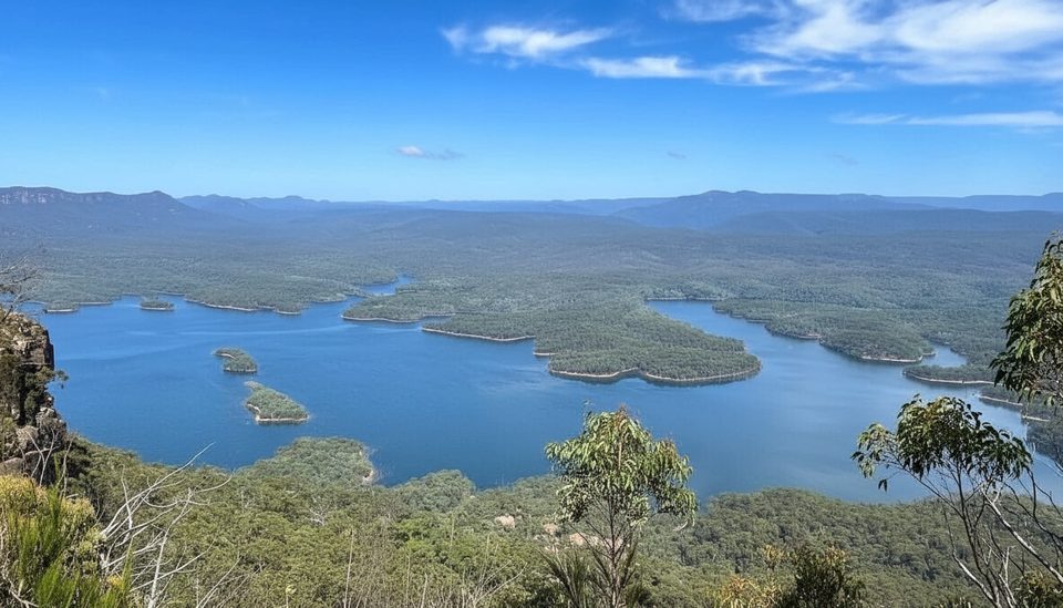
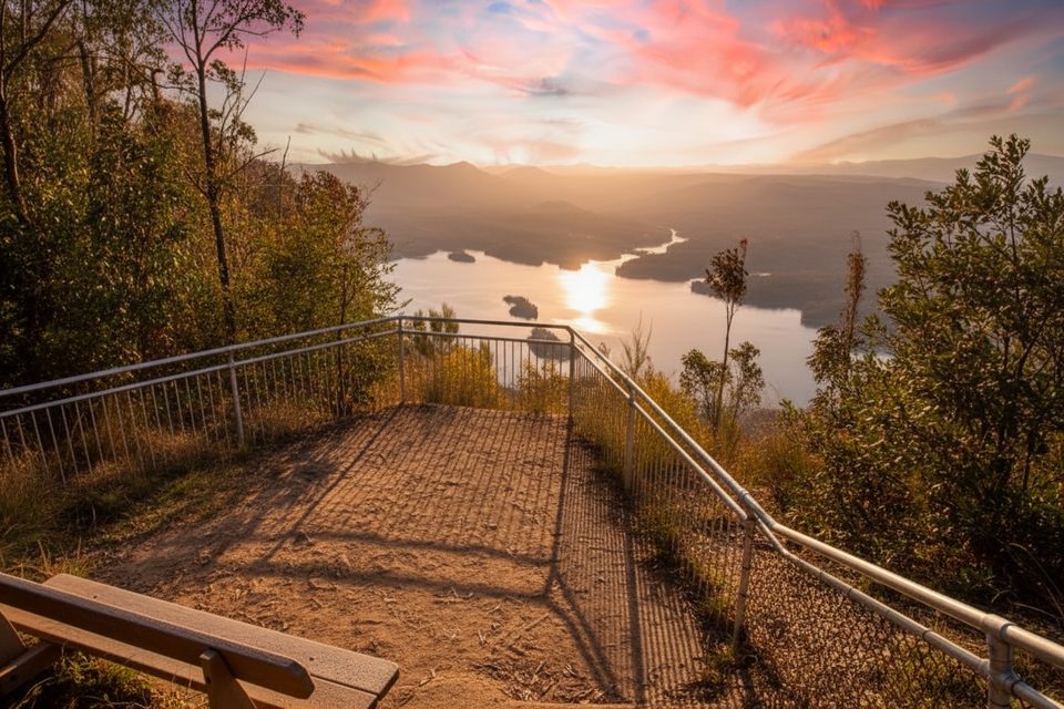
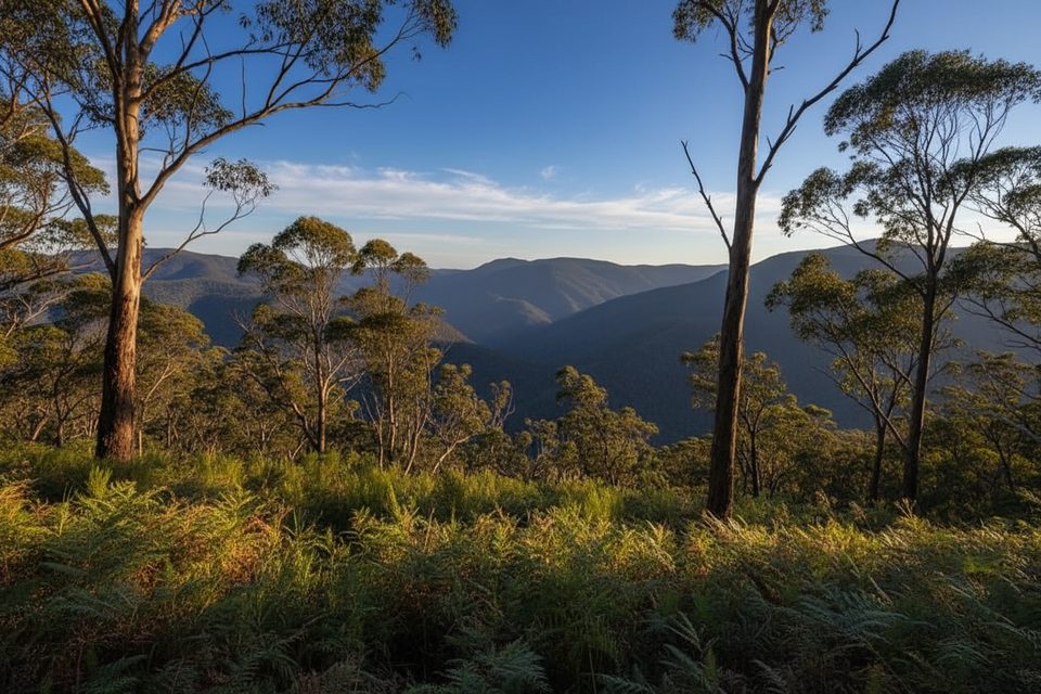
McMahons Lookout delivers a big-payoff panorama over Lake Burragorang from the edge of Kings Tableland in the quieter, southern Blue Mountains. The approach is a management/fire trail — think wide dirt road, not singletrack — ending at a cliff‑top lookout with sweeping views and real solitude compared to the busier upper-mountains viewpoints.
This one is flexible, and that matters. When the access road is open to the McMahons Point car park, the final walk to the lookout is short. When a gate is locked further back, a commonly tackled on‑foot option is about 4.7 miles/7.5 km return on the fire trail to the lookout, taking roughly 2–3 hours total. There’s also a much longer out‑and‑back along Kings Tableland that riders often do as a full day ride. In short: choose your start point based on gate status and how much fire‑trail you’re in the mood for.
Expect gentle undulations rather than steep climbing. Total ascent for the 7.5 km return option is roughly 100–115 m, and the surface is unsealed dirt/gravel.
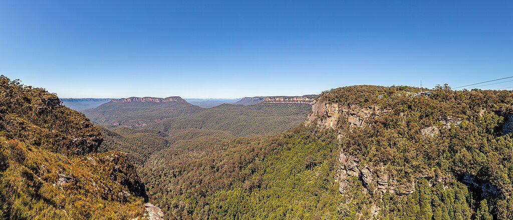
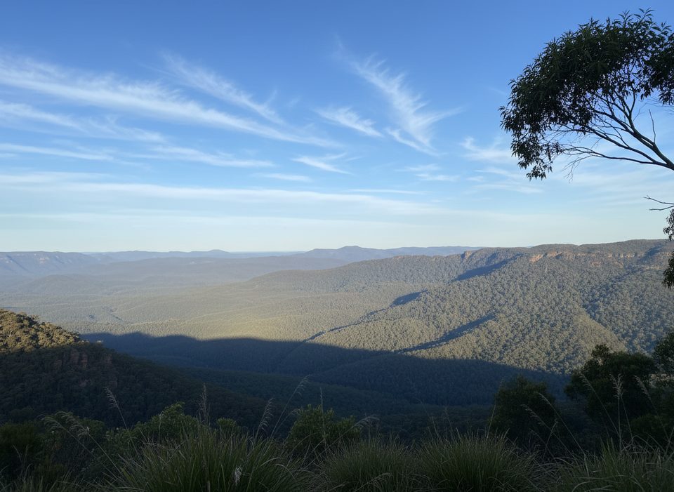
The star is the lake-and-ridge vista: Lake Burragorang winding through steep, forested valleys beneath you. The lookout area has multiple vantage points, including a nearby alternative lookout that offers slightly different angles across the catchment. Along the way you’ll pass classic Blue Mountains bush — open eucalypt forest with sandstone outcrops — and you may spot native birdlife and the occasional wallaby.
Clear, cool days in spring and autumn are hard to beat for comfortable temps and crisp views. Winter often brings cool, clear air (pack warm layers for early starts). Summer can be hot and exposed; go early and carry extra water. Weekdays see very light traffic; even on weekends, it’s commonly uncrowded. Photographers will like golden hours, when the low light pulls texture out of the sandstone ridges and the lake surface.
This is a shared management road used by walkers, mountain bikers, and 4WDs (when open). There are no facilities at the car park or lookout — no toilets, no water, no shade structures — so come self‑sufficient. Check current access and any fire or weather closures before committing to the longer approach. The lookout sits above unfenced cliff lines: watch footing and keep well back from edges.
If you want a quiet, big‑view lookout and don’t mind a no‑frills fire‑trail approach, yes — this is a satisfying, under‑the‑radar outing. If you’re chasing varied terrain, waterfalls, or interpretive tracks, the approach can feel monotonous and the reward is all about the final vista. Prefer a more conventional Blue Mountains “wow” with a shorter walk? Consider one of the upper-mountains lookouts — but expect crowds you’ll largely avoid here.
End of Kings Tableland Road at McMahons Point car park when open; if a gate is locked, park at the gate and walk or ride the fire trail to the lookout.
Unfenced cliff edges at the lookout; shared use with mountain bikes and 4WDs; no water or toilets; exposure to sun and heat; check for gate closures and fire/park alerts before you go.
Place · 0 mi away
Place · 8.2 mi away
Place · 8.8 mi away
Place · 9.9 mi away
Challenging · 8.5 mi away
Easy · 10.3 mi away
Easy · 10.9 mi away
Moderate · 11.2 mi away

Parkwolf Tour Guide
