
Place · 2.4 mi away
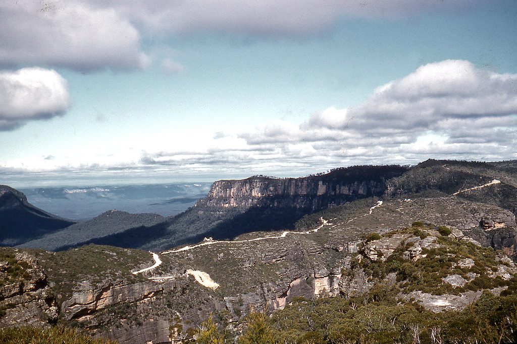
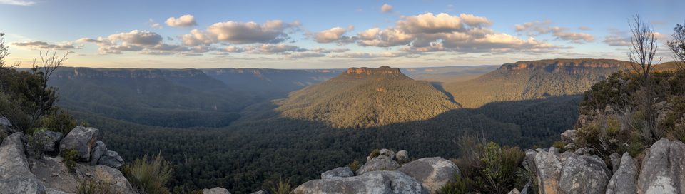
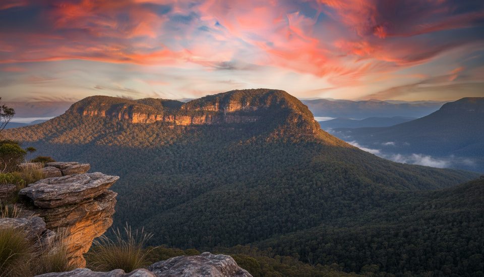
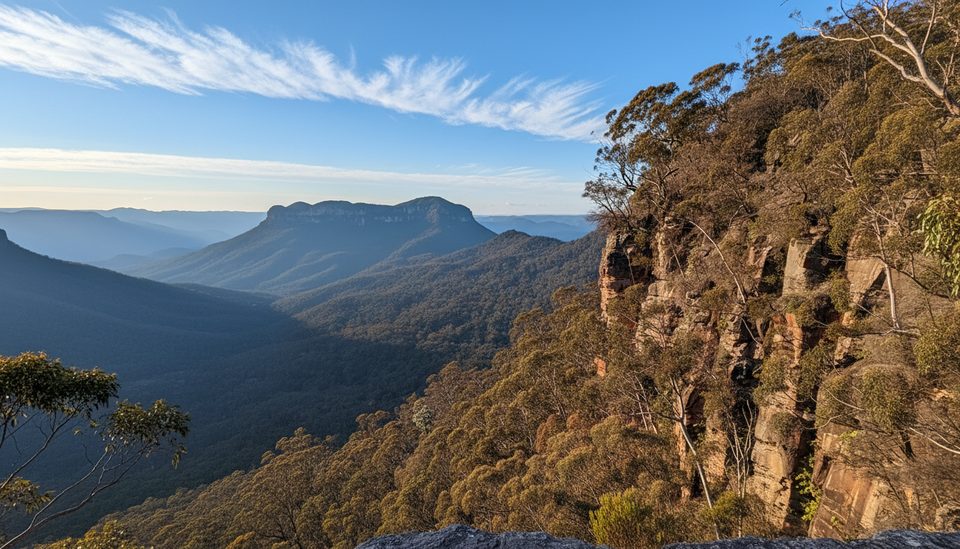
Narrow Neck Plateau is a long sandstone ridge running south from Katoomba, slicing between the Jamison and Megalong valleys. You’re on a balcony in the sky for much of the way—sheer drops on either side, big horizons, and that “on top of the world” feeling. The main route is the Narrow Neck fire trail, a broad track popular with both walkers and cyclists. Expect a solid day out: the official guidance suggests 5–6 hours for the return walk.
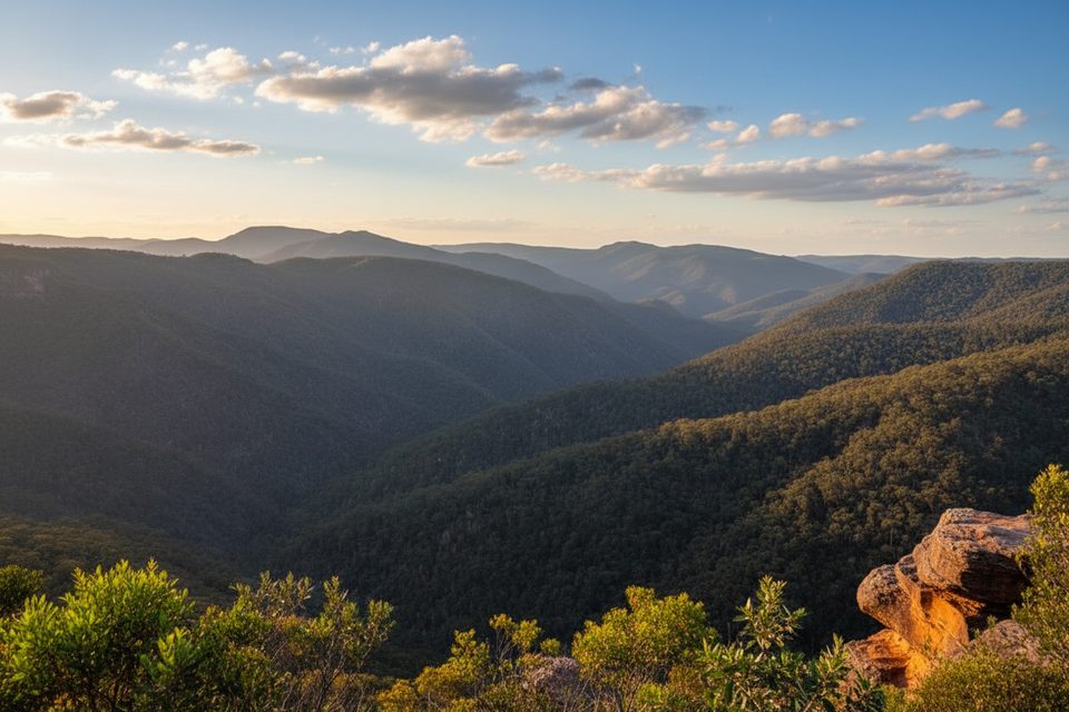
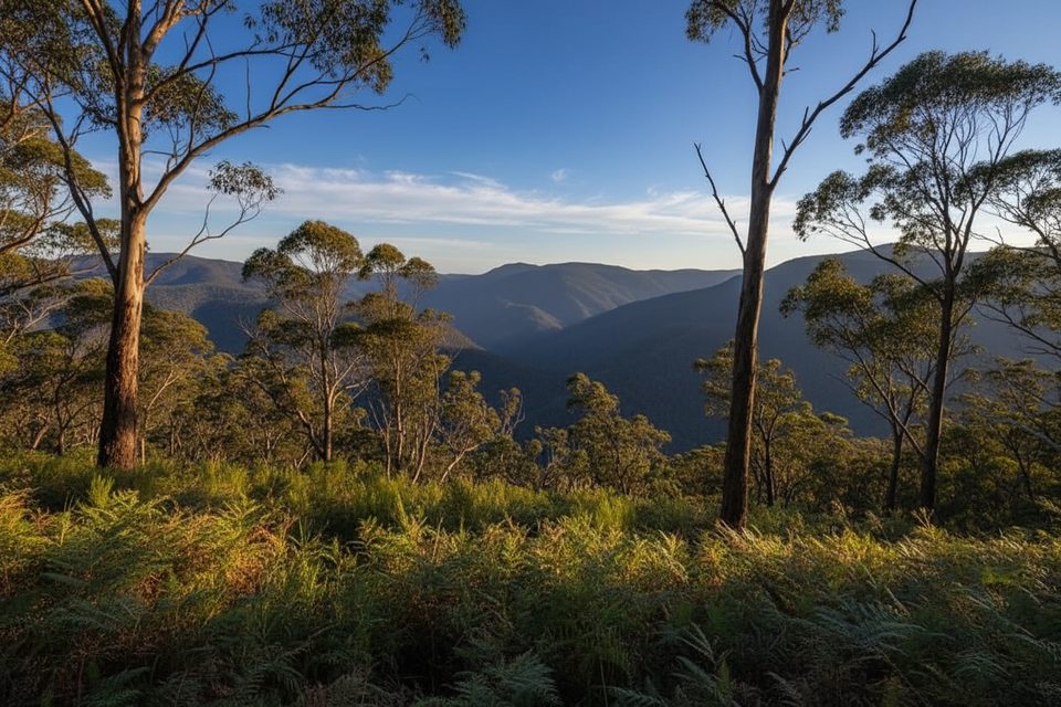
This traverse is all about scenery. The ridge serves up near-continuous vistas of cliffs and valleys, with heath and eucalypt forest along the way. In spring, wildflowers brighten the edges of the trail. At the southern end, Clear Hill looks toward Wild Dog Mountain, and a side trip to Castle Head offers classic views including Mt Solitary.
Underfoot it’s a wide fire trail—straightforward to follow but exposed to wind, sun, and changing weather. There are some steeper undulations and the length is what makes it a challenge. Many love the sense of space; others find the long fire-trail sections a bit samey. Cyclists get a rewarding out-and-back with steady climbs and sweeping outlooks.
Keep an ear out for lyrebirds in the gullies and watch for wallabies and other native fauna along the margins. Sightings aren’t guaranteed, but the ridge’s mix of forest and heath supports a good variety of birdlife.
Access is via Glenraphael Drive to a locked gate at the start of the trail. The road is unsealed; conditions can be rough after rain and higher-clearance vehicles are advisable. There are no facilities on the plateau—no toilets, no water, no food—so bring everything you need and pack out what you carry in.
This is an exposed ridge with drop-offs and frequent wind. Carry ample water, sun protection, layers for changing weather, snacks, a basic repair kit if riding, and consider a personal locator beacon. Check current park alerts before you go; fire danger or severe weather can prompt closures.
Place · 2.4 mi away
Place · 2.5 mi away
Place · 3.1 mi away
Place · 3.4 mi away
Moderate · 2.5 mi away
Challenging · 4.8 mi away
Challenging · 4.8 mi away
Easy · 5.3 mi away

Parkwolf Tour Guide
